The best running trails around Coussegrey
4.4
(7)
223
runners
50
runs
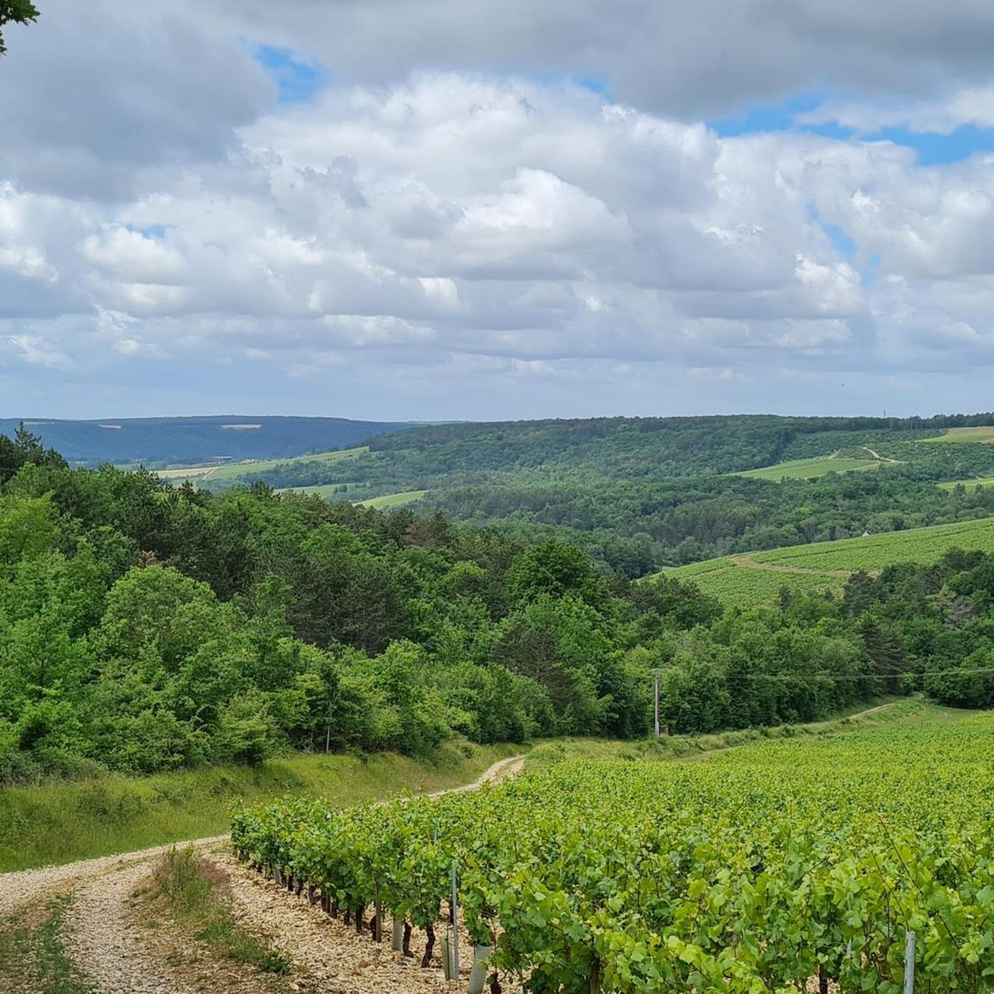
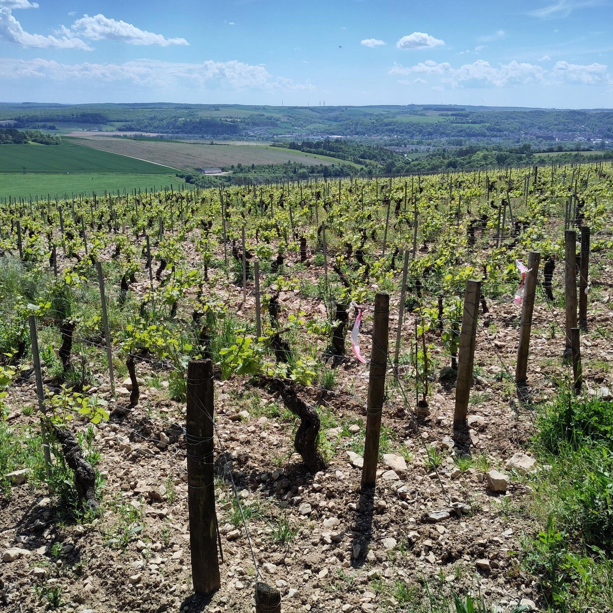
Jogging routes around Coussegrey traverse a tranquil rural landscape in the Aube department of north-central France. The region is characterized by gently undulating terrain, with elevations typically ranging between 180 and 190 meters. Runners can expect a mosaic of grasslands, agricultural fields, and forested areas, often featuring historical waterways like the Burgundy Canal, which provides flat and accessible towpaths. The Ru de Bernon stream also contributes to the area's natural charm.
Best jogging routes around Coussegrey
- The most popular jogging…
Last updated: October 7, 2026
3.0
(1)
28
runners
9.01km
00:56
10m
10m
Moderate run. Good fitness required. Mostly paved surfaces. Suitable for all skill levels.
4
runners
6.93km
00:43
20m
20m
Moderate run. Good fitness required. Mostly paved surfaces. Suitable for all skill levels.

5.0
(1)
6
runners
14.5km
01:31
70m
70m
Moderate run. Good fitness required. Mostly paved surfaces. Suitable for all skill levels.
4
runners
6.16km
00:38
10m
10m
Moderate run. Good fitness required. Mostly paved surfaces. Suitable for all skill levels.
3
runners
16.4km
01:42
110m
110m
Hard run. Very good fitness required. Mostly paved surfaces. Suitable for all skill levels.
Get access to more routes and recommendations from other explorers.
Already have an account?
Our route recommendations are based on thousands of hikes, rides, and runs completed by other people on komoot.
Start today with a free account
Your next adventure awaits.


Tips from the Community

The Burgundy Canal is 242 km long, it connects the Seine basin to the Rhône basin. Previously used for moving goods, but since the 1960s the canal has been used almost exclusively for recreational boating.
0
0

A long ribbon of water crossing the countryside for 242 kilometers: here is the Burgundy Canal, which connects the Yonne to the Saône and Migennes to Saint-Jean-de-Losne. For some, it is the heart of Burgundy that opens up through these quiet valleys dotted with famous churches and castles.
1
0

The Canal de Bourgogne connects the rivers Yonne and Saône, and thus the Atlantic and the Mediterranean via other rivers and canals. Here the river bike path is paved and nice to ride a racing bike.
4
1
Frequently Asked Questions
How many running routes are available around Coussegrey?
There are nearly 40 dedicated running routes around Coussegrey, catering to various fitness levels. You'll find a good mix of easy, moderate, and challenging trails to explore the tranquil rural landscape.
What kind of terrain can I expect on the jogging trails in Coussegrey?
The terrain around Coussegrey is gently undulating, with elevations typically between 180 and 190 meters. You'll jog through a mosaic of grasslands, agricultural fields, and forested areas. Many routes, especially those along the Burgundy Canal, feature flat and accessible towpaths, while others offer a mix of paved and natural paths.
Are there any easy running routes suitable for beginners or a relaxed jog?
Yes, Coussegrey offers several easy running routes perfect for beginners or those seeking a relaxed pace. These trails often feature minimal elevation gain and well-maintained surfaces, allowing you to enjoy the serene countryside without significant challenge.
Are there any circular running routes in the Coussegrey area?
Many of the running routes around Coussegrey are designed as circular loops, allowing you to start and finish at the same point. For example, the Burgundy Canal – Canal de Bourgogne loop from Dannemoine is a popular circular option, offering picturesque views along the historic waterway.
What are some notable landmarks or attractions I might see while running near Coussegrey?
While jogging near Coussegrey, you can encounter several interesting features. Routes along the Burgundy Canal often pass historical locks and traditional lock houses. You might also spot the Towpath of the Canal de Bourgogne itself, or if you venture further, the impressive Château de Tanlay. The local rural landscape with its charming villages and agricultural fields also provides a scenic backdrop.
Are there any running routes that follow waterways?
Absolutely. The historic Burgundy Canal is a prominent feature in the region, and several running routes incorporate its towpaths. These offer flat, accessible surfaces and picturesque views. For instance, the Burgundy Canal – Canal de Bourgogne loop from Cheney provides a great experience along this waterway.
What do other runners say about the trails in Coussegrey?
The running routes in Coussegrey are highly regarded by the komoot community, with an average rating of 4.6 out of 5 stars. Runners often praise the peaceful, rural setting, the fresh air, and the variety of terrain that ranges from accessible canal paths to more challenging loops through agricultural fields and forests.
Are there any longer or more challenging running routes for experienced runners?
Yes, for experienced runners seeking a greater challenge, there are routes with more significant distance and elevation gain. The Château de Vanlay loop from Turgy is a difficult 16.3 km (10.2 miles) trail with over 100 meters of elevation gain, offering a more demanding experience through varied terrain.
Is it possible to find parking near the running trails in Coussegrey?
While specific parking details for every trail are not always listed, many routes originating from nearby towns like Dannemoine and Cheney typically offer accessible parking options. Given the rural nature of the area, you can often find convenient spots to start your run.
What is the best time of year for running in Coussegrey?
Coussegrey's tranquil rural setting makes it appealing for running throughout much of the year. Spring and autumn offer pleasant temperatures and beautiful scenery with blooming fields or colorful foliage. Summer can be warm, so early morning or late evening runs are ideal. Winter runs are also possible, offering a crisp, quiet experience, though some paths might be muddy.
Are there any running routes suitable for families with children?
For families, the flatter, more accessible sections, particularly along the Burgundy Canal towpaths, are ideal. These routes offer a safe and enjoyable environment for children to run or cycle alongside. Look for routes described as 'easy' or with minimal elevation for the best family experience.
Most popular routes around Coussegrey
Most popular attractions around Coussegrey

Get inspired with the komoot mobile app


Explore more
Browse the best Running Trails & Routes in other regions.
