The best mountain hikes around Muracciole
4.9
(9)
56
hikers
5
hikes
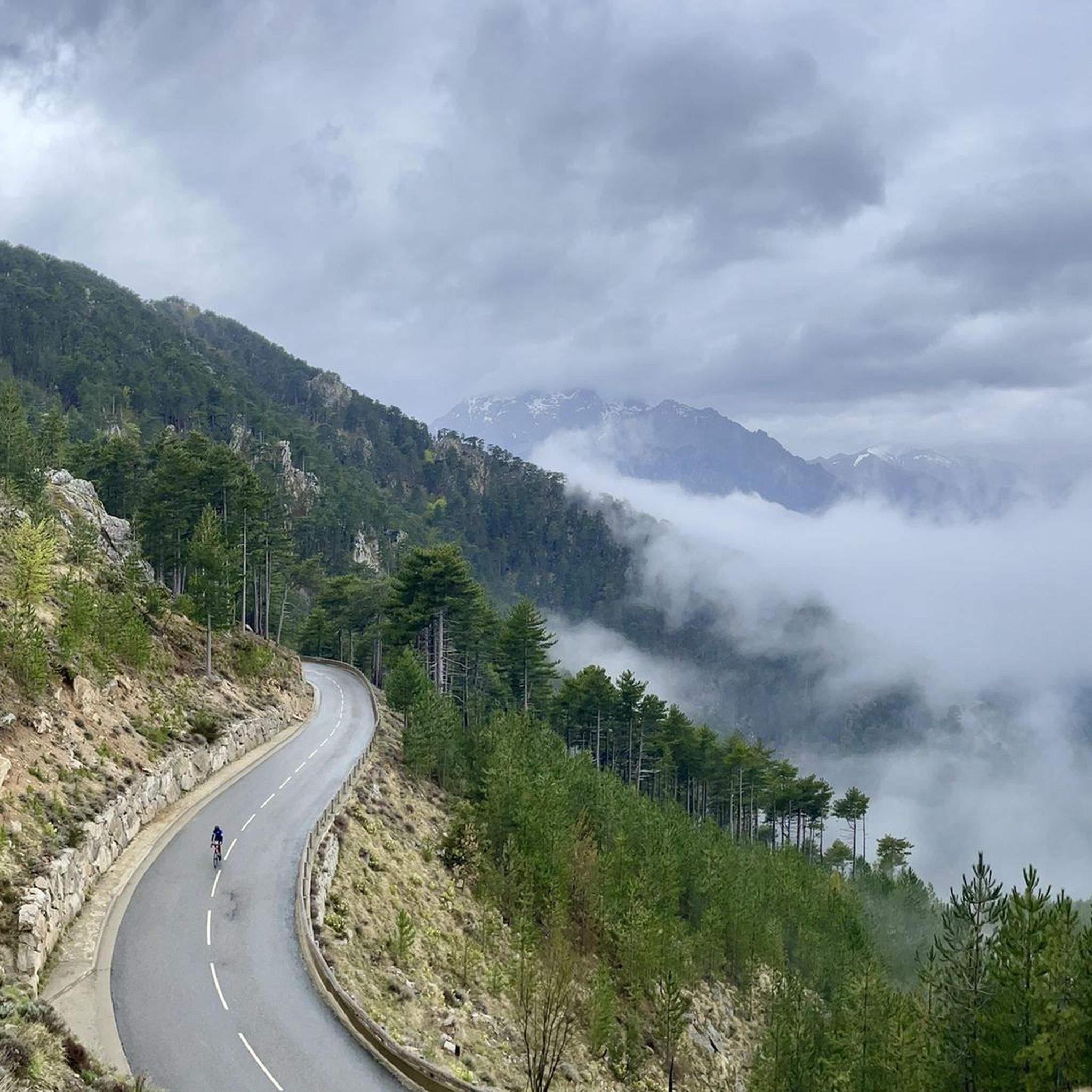
Mountaineering routes Muracciole are set within the mountainous heart of Haute-Corse, France, a region characterized by rugged terrain and significant elevation changes. The landscape features dense forests, prominent peaks like Monte Cardo, and access to the Parc Naturel Régional de Corse. This environment provides a diverse range of challenges for mountaineers, from alpine hiking to more technical ascents. The commune itself sits at elevations ranging from 379 meters to 1,565 meters, offering direct access to demanding mountain environments.
Best mountaineering…
Last updated: August 22, 2026
5.0
(2)
20
hikers
16.4km
09:07
1,390m
1,390m
Hard mountaineering route. Very good fitness required. Sure-footedness, sturdy shoes and alpine experience required.
4.5
(4)
17
hikers
6.85km
02:08
230m
230m
Moderate mountaineering route. Good fitness required. Mostly accessible paths. Sure-footedness required.

Sign up for free
11
hikers
15.4km
04:35
450m
450m
Moderate mountaineering route. Good fitness required. Mostly accessible paths. Sure-footedness required.
5.0
(1)
4
hikers
3.82km
01:15
120m
120m
Moderate mountaineering route. Great for any fitness level. Mostly accessible paths. Sure-footedness required.
5.0
(2)
4
hikers
12.6km
05:34
790m
790m
Hard mountaineering route. Very good fitness required. Mostly accessible paths. Sure-footedness required.
Our route recommendations are based on thousands of hikes, rides, and runs completed by other people on komoot.
Start today with a free account
Your next adventure awaits.
Login or Signup
Tips from the Community


The fort was built in 1769 on the orders of the Count of Vaux, to ensure the security of communications on the island. Originally, it was a fortified complex comprising a central keep flanked by four bastions. Today, only sections of walls and seven steps of a staircase remain.
0
0

J’te CNTTe r N N KO n N ‘tbenne c w N gb a tu
0
0
,Cc IV not col N the year C. L. C c N N Thie un (xx c ‘c c N c’ of
0
0

Frequently Asked Questions
What kind of mountaineering routes can I expect around Muracciole?
Muracciole, nestled in the mountainous heart of Haute-Corse, offers a diverse range of mountaineering experiences. You'll find routes that traverse rugged alpine terrain, dense forests, and lead to prominent peaks like Monte Cardo. The area provides options for various skill levels, from moderate ascents to more demanding technical routes within the broader Parc Naturel Régional de Corse.
Are there any circular mountaineering routes near Muracciole?
Yes, there are several circular routes available. For example, you can explore the Punta Bacinello – Lac du Bastani loop from Ghisoni, a difficult 8 km trail, or the Monte d'Oro – Water Source on the GR20 loop from Vizzavona, which is a challenging 16.4 km path offering extensive mountain views.
What is the best time of year for mountaineering in Muracciole?
The best time for mountaineering in Muracciole generally aligns with late spring, summer, and early autumn. During these months, the weather is typically more stable, and trails are clearer of snow, making high-altitude trekking and technical ascents more accessible. Winter mountaineering is possible but requires specific gear and expertise due to snow and ice conditions.
Are there any family-friendly mountaineering options around Muracciole?
While many routes are challenging, some moderate options can be suitable for families with older children or those accustomed to mountain hiking. The Vizzavona Forest – Vizzavona Fort ruins loop from Col de Vizzavona is a moderate 3.8 km route that could be a good starting point for families looking for a less strenuous experience.
Can I bring my dog on the mountaineering trails near Muracciole?
Many trails within the Parc Naturel Régional de Corse, where Muracciole is located, are generally dog-friendly, especially if dogs are kept on a leash. However, it's always advisable to check specific regulations for each route or protected area, as some sensitive zones or nature reserves might have restrictions. Ensure your dog is fit for the terrain and carry enough water for both of you.
What kind of natural landmarks or attractions can I see along the routes?
The region is rich in natural beauty. Along your routes, you might encounter impressive mountain peaks like Monte Renoso or Monte Rotondo Summit. You can also discover mountain passes such as Col de Sorba and Summit of Col de Vizzavona. Some routes, like the English Falls – L'Agnone loop from Vizzavona, even lead past beautiful waterfalls.
Are there any permits required for mountaineering in the Muracciole area?
Generally, permits are not required for hiking or mountaineering on established trails within the Parc Naturel Régional de Corse. However, for specific technical climbing routes or if you plan to camp in certain areas, it's always best to check with the park authorities for any specific regulations or restrictions that might apply.
What is the typical duration for mountaineering routes around Muracciole?
The duration of routes varies significantly based on difficulty and distance. For instance, a moderate route like the English Falls – L'Agnone loop from Vizzavona can be completed in about 2 hours 8 minutes, while a more difficult one like the Punta Bacinello – Lac du Bastani loop from Ghisoni typically takes around 3 hours 59 minutes.
What do other mountaineers enjoy most about the routes in Muracciole?
The mountaineering routes around Muracciole are highly rated by the komoot community, with an average score of 4.9 stars from over 10 reviews. Mountaineers often praise the challenging terrain, the extensive mountain views, and the opportunity to experience sections of the renowned GR20 trail, as well as the serene beauty of forested valleys and waterfalls.
Are there any routes that pass by waterfalls?
Yes, if you enjoy waterfalls, the English Falls – L'Agnone loop from Vizzavona is a great option. This moderate 6.9 km trail leads through forested valleys and past beautiful waterfalls, making it a scenic choice for your adventure.
Where can I find parking for mountaineering trailheads near Muracciole?
Parking availability can vary by trailhead. Many popular starting points for routes, especially those accessible from villages like Vizzavona or Ghisoni, typically have designated parking areas. It's advisable to check specific route descriptions on komoot for details on parking at the trailhead you plan to use.
Are there any cafes or amenities near the mountaineering trailheads?
Muracciole itself, and nearby villages like Vizzavona, offer basic amenities including cafes and restaurants where you can refuel before or after your mountaineering trip. For example, Vizzavona is a known hub for hikers and often has services available close to trail starts.
How many mountaineering routes are available around Muracciole on komoot?
There are 7 mountaineering routes available around Muracciole on komoot, offering a range of experiences from moderate to difficult. These routes have been explored by over 100 mountaineers using komoot.
Most popular routes around Muracciole
Most popular attractions around Muracciole

Get inspired with the komoot mobile app


Explore more
Browse the best Mountain Hikes & Routes in other regions.
