The best walks and hikes around Muracciole
4.5
(2111)
17,509
hikers
142
hikes
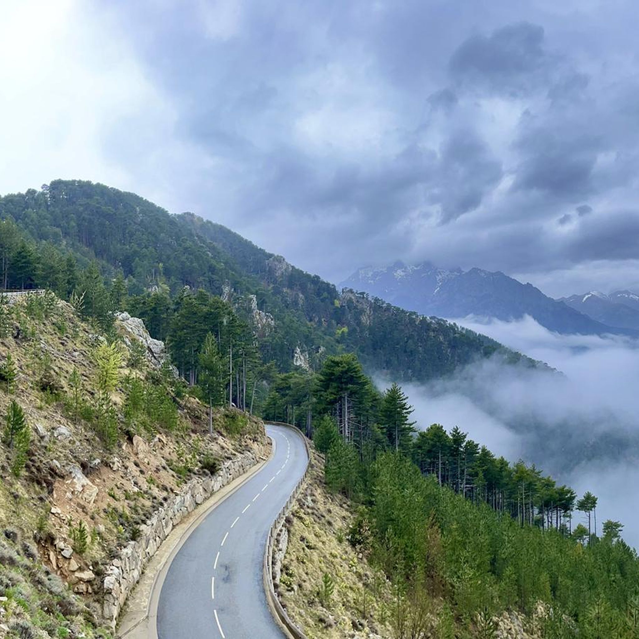
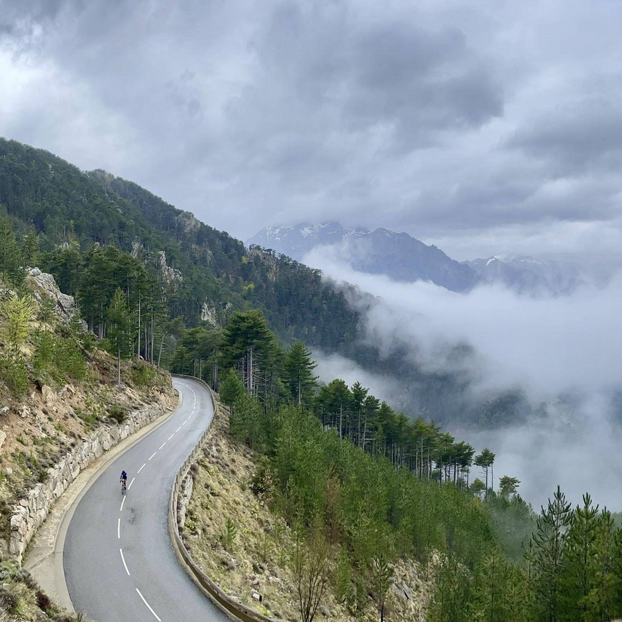
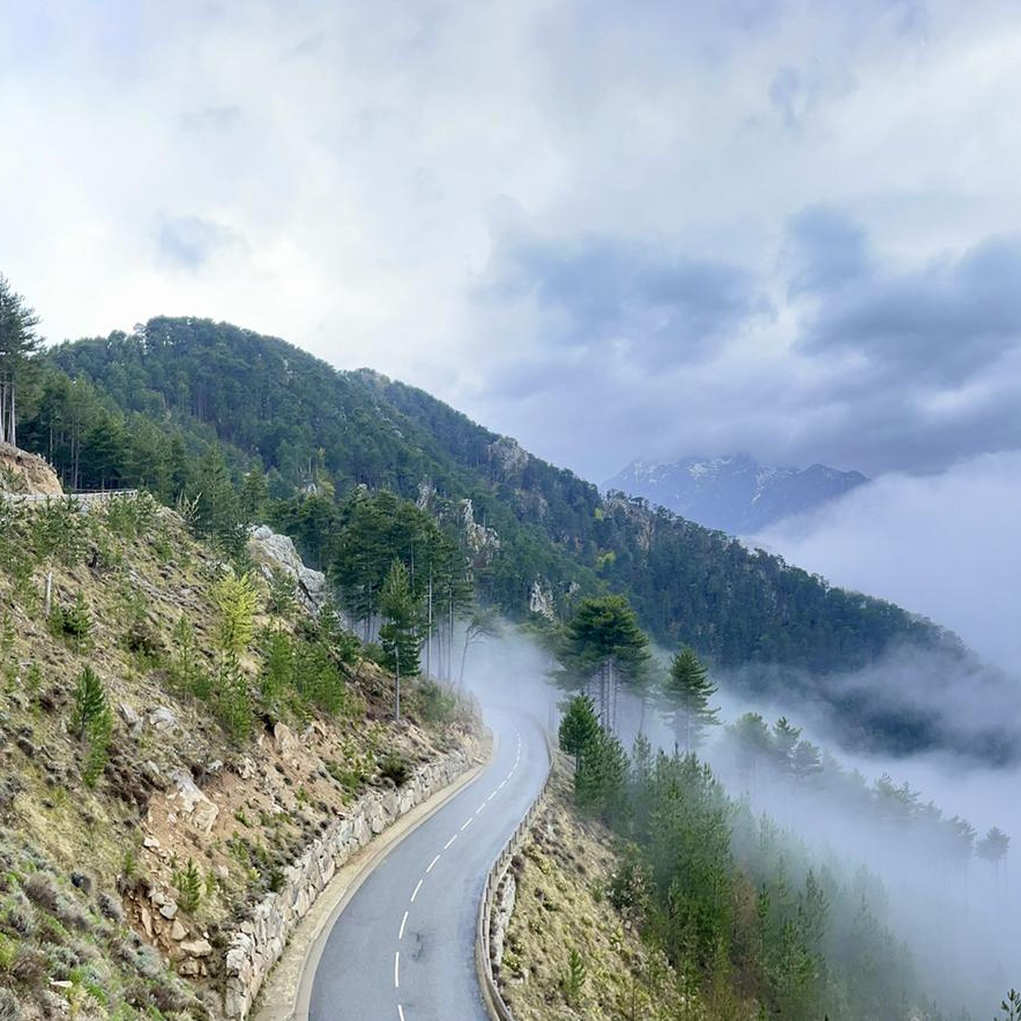
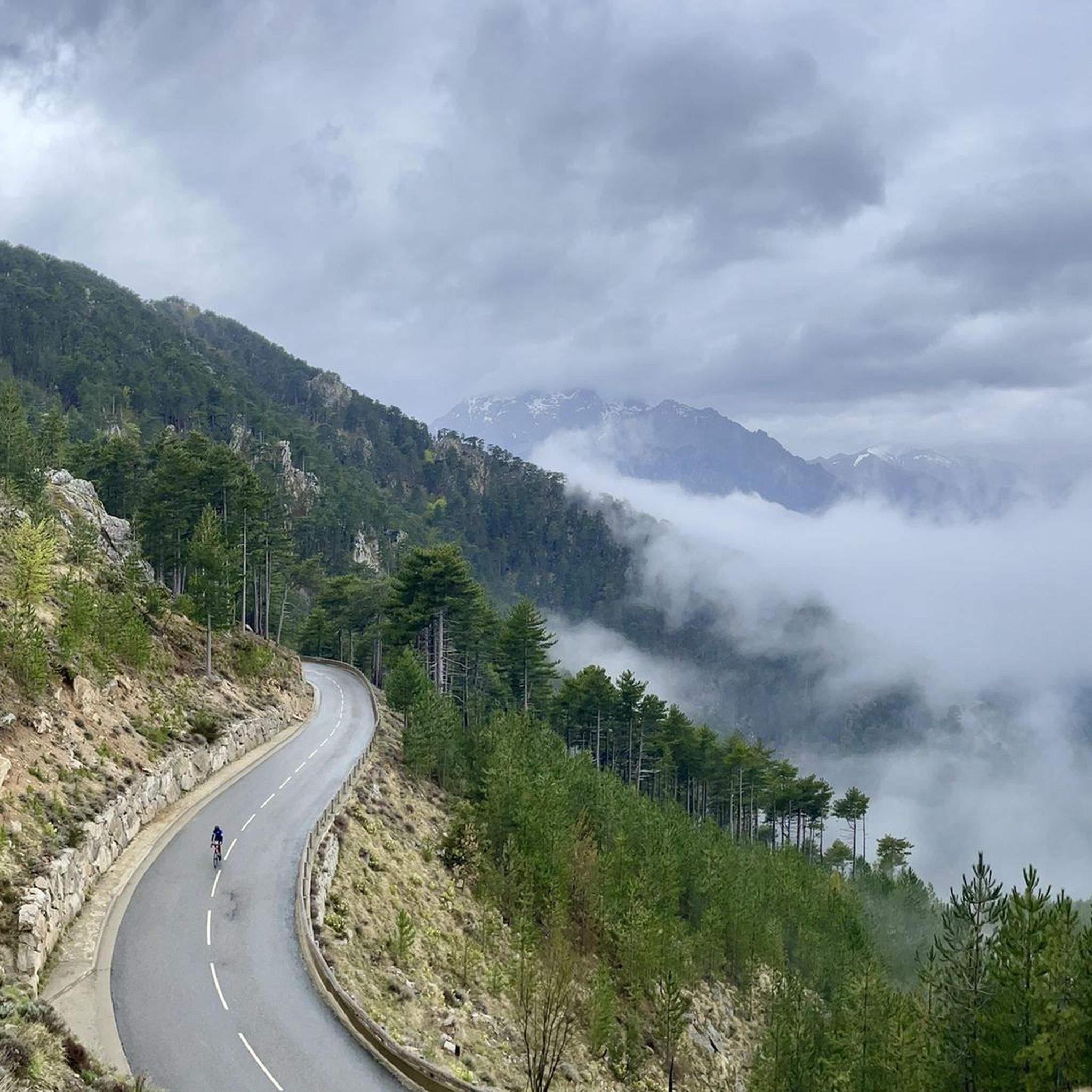
Hiking around Muracciole, located within the Parc Naturel Régional de Corse, offers diverse terrain characterized by forested mountains, verdant valleys, and rugged landscapes. The region features notable natural elements such as the Vecchio river and several waterfalls, including the Cascade des Anglais. Elevated positions provide extensive views, and trails often lead through preserved natural environments.
Best hiking trails around Muracciole
- The most popular hiking route is Bergerie de Tolla – Regional natural park of Corsica, an 8.2 miles (13.2…
Last updated: June 28, 2026
4.7
(119)
665
hikers
13.2km
04:09
430m
430m
Hike to Bergerie de Tolla, a moderate 8.2-mile trail in Corsica with natural pools, waterfalls, and a charming mountain sheepfold.
4.7
(104)
607
hikers
12.5km
03:54
390m
390m
Moderate hike. Good fitness required. Mostly accessible paths. Sure-footedness required.

Sign up for free
4.6
(74)
452
hikers
18.3km
05:40
580m
580m
Hard hike. Very good fitness required. Mostly accessible paths. Sure-footedness required.
4.8
(16)
279
hikers
27.2km
10:18
1,320m
1,320m
Hard hike. Very good fitness required. Sure-footedness, sturdy shoes and alpine experience required.
5.0
(2)
41
hikers
26.5km
11:04
1,520m
1,520m
Hard hike. Very good fitness required. Sure-footedness, sturdy shoes and alpine experience required.
Get access to more routes and recommendations from other explorers.
Sign up for free
Already have an account?
Our route recommendations are based on thousands of hikes, rides, and runs completed by other people on komoot.
Start today with a free account
Your next adventure awaits.
Login or Signup

Tips from the Community

wonderfully beautiful here, simply magical
3
0


The Petra Piana is a very small refuge, perched on the mountainside, which dates back to 1971. If you plan to sleep there, you must book your night online, on the PNRC (Corsican Regional Natural Park) website. The refuge is located near a spring where you can fill up with water, if you are just passing through.
1
0

Wonderful place to swim in the Manganellu. There are many basins and natural pools all along the river. Here, in the heart of the Vizzavona forest, it is a real corner of paradise.
1
0

Many blooming violets decorate the forest. (Early September)
1
0

Nice, articulate landlady. Self-sufficient!
0
1
Frequently Asked Questions
How many hiking trails are available around Muracciole?
Muracciole offers a wide variety of hiking experiences, with over 140 routes recorded on komoot. These include 16 easy trails, 77 moderate routes, and 47 difficult excursions, catering to different fitness levels and preferences.
What is the general difficulty level of hiking trails in Muracciole?
The hiking trails around Muracciole range from easy to difficult. While there are 16 easy routes perfect for a relaxed stroll, the majority are moderate (77 trails) or difficult (47 trails), often involving significant elevation changes and rugged terrain characteristic of the Parc Naturel Régional de Corse.
Are there any trails that feature waterfalls?
Yes, Muracciole is known for its beautiful waterfalls. You can explore trails that lead to the famous Cascade des Anglais (Cascata di l'Inglesi) or the Meli Waterfall. The region research also mentions the 'Circuit des Trois Cascades' for a picturesque loop through lush forests to a series of waterfalls. A challenging route like the Meli Waterfall – English Falls loop from Tattone combines both.
Can I find trails with scenic views or lakes?
Absolutely. Muracciole's elevated position offers breathtaking mountain views, with trails leading to spots like the 'Belvédère de Pasciola - Affaccatoghju di Pasciola'. For lakes, nearby options include Lac de Calacuccia and Lac de Nino, with trails like the 'Lake Nino – Bocca a Reta loop' providing challenging excursions. You can also find the beautiful Lac de Bastani in the area.
Are there any historical or cultural landmarks to see while hiking?
Beyond natural beauty, the region offers glimpses into its history. The 'Mare a Mare Nord' trail, for instance, traverses through an abandoned village and passes near the historic Sant-Maria d'Arca chapel, providing a cultural dimension to your hike.
Are there family-friendly hiking options in Muracciole?
Yes, there are 16 easy trails around Muracciole suitable for families or those looking for a less strenuous walk. The 'Sentier du Lac Cristalin' is mentioned as an easy walk providing views of a crystal-clear lake, which could be a good option for families.
What do other hikers say about the trails in Muracciole?
The trails in Muracciole are highly regarded by the komoot community, with an average rating of 4.6 stars from over 2,100 reviews. Hikers often praise the diverse terrain, the stunning natural beauty, and the comprehensive experience of the Corsican landscape.
Are there any circular walking routes available?
Yes, many routes in Muracciole are designed as loops. Examples include the 'Muricciolu Bridge loop' accessible from Calacuccia and Albertacce, and the 'Circuit des Trois Cascades'. The Small-scale catering – Meli Waterfall loop from Tattone is another popular circular option.
What is the best time of year to hike in Muracciole?
The region around Muracciole, being part of the Parc Naturel Régional de Corse, offers diverse conditions. Spring and autumn generally provide the most pleasant weather for hiking, with milder temperatures and vibrant landscapes. Summer can be hot, especially at lower elevations, while winter may bring snow to higher mountain trails.
Are there options for longer, more challenging hikes?
Definitely. For experienced hikers seeking a challenge, Muracciole offers 47 difficult trails. Routes like the Tolla Shepherd’s Hut – Petra Piana Refuge loop from Tattone, which covers over 27 km with significant elevation gain, provide strenuous excursions. Sections of the famous GR20 trail also pass through the mountainous terrain nearby.
Where can I find information about public transport or parking for trailheads?
While specific parking details for every trailhead are not listed, many routes in the region are accessible. For detailed public transport information to Muracciole and surrounding villages, it is advisable to consult local transport authorities or the official tourism website for Centre Corse: tourisme-centrecorse.corsica.
Are there any less crowded hiking trails in the area?
With 140 trails, it's possible to find quieter paths, especially outside peak season or by exploring some of the less-trafficked difficult routes. While popular spots like the Cascade des Anglais can attract visitors, the vastness of the Parc Naturel Régional de Corse allows for discovery of serene, less crowded trails.
Most popular attractions around Muracciole

Get inspired with the komoot mobile app


Explore more
Browse the best Hikes in other regions.
