The best walks and hikes around Sagnes-Et-Goudoulet
4.5
(567)
3,173
hikers
16
hikes
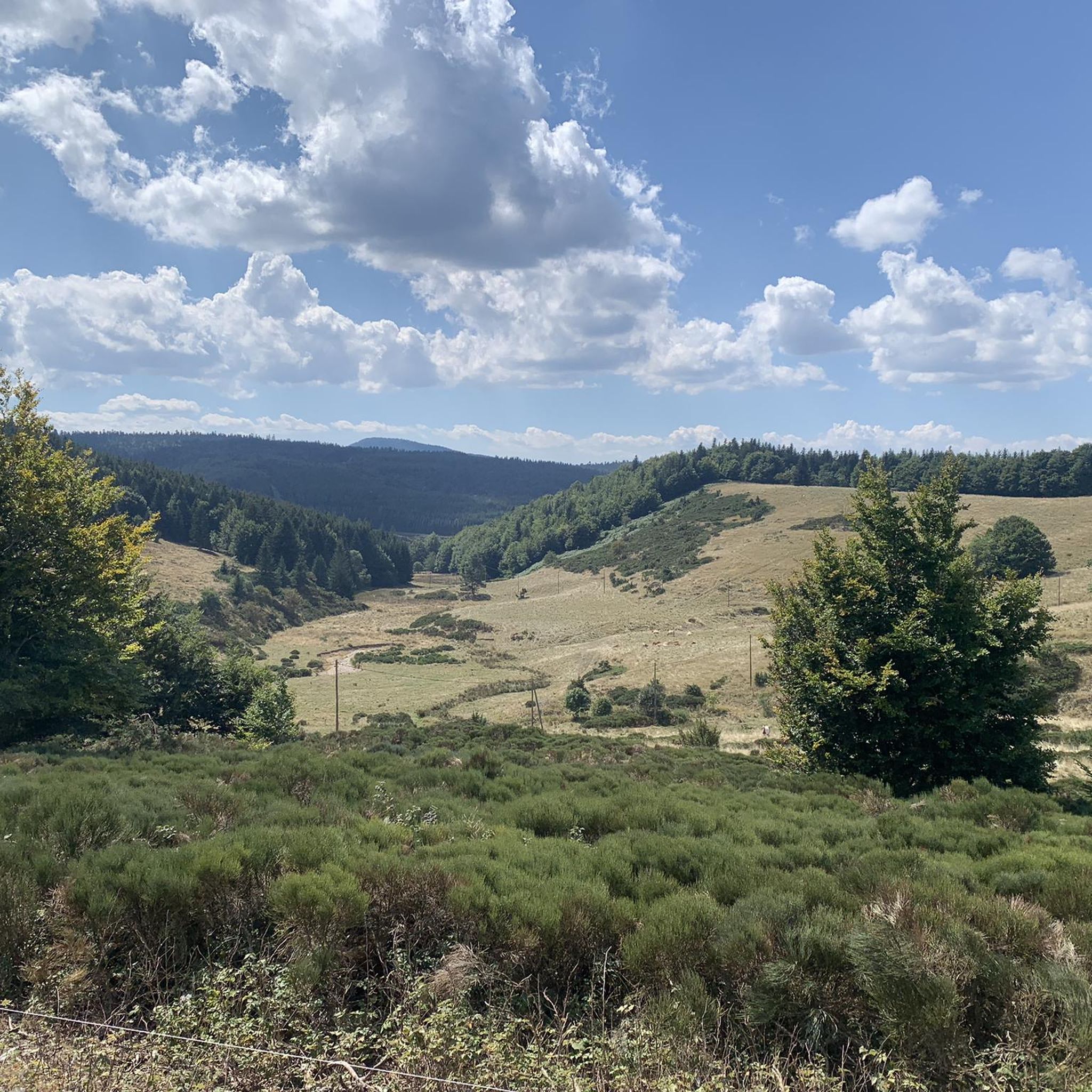
Hiking around Sagnes-Et-Goudoulet offers diverse terrain within the Monts d'Ardèche Regional Natural Park, a UNESCO Global Geopark. The landscape is characterized by volcanic geology, including extinct volcanoes and distinctive "sucs," alongside extensive forests and high plateaus. The region is also notable as the source of the Loire River at Mont Gerbier de Jonc. This area provides a variety of trails suitable for exploring its natural features and traditional architecture.
Best hiking trails around Sagnes-Et-Goudoulet
- The most popular hiking route is…
Last updated: July 13, 2026
4.7
(9)
32
hikers
14.4km
04:55
710m
710m
Moderate hike. Good fitness required. Easily-accessible paths. Suitable for all skill levels.
4.5
(4)
18
hikers
10.4km
03:00
270m
270m
Moderate hike. Good fitness required. Easily-accessible paths. Suitable for all skill levels.

Sign up for free
4.0
(3)
14
hikers
12.4km
03:40
250m
250m
Hard hike. Good fitness required. Sure-footedness, sturdy shoes and alpine experience required.
5.0
(4)
12
hikers
4.48km
01:11
40m
40m
Easy hike. Great for any fitness level. Easily-accessible paths. Suitable for all skill levels.
4.0
(1)
11
hikers
13.5km
03:54
330m
340m
Moderate hike. Good fitness required. Easily-accessible paths. Suitable for all skill levels.
Get access to more routes and recommendations from other explorers.
Sign up for free
Already have an account?
Our route recommendations are based on thousands of hikes, rides, and runs completed by other people on komoot.
Start today with a free account
Your next adventure awaits.
Login or Signup

Tips from the Community

The Ferme de Clastre is part of the last 15 thatched cottages still "standing" on the Mezenc-Gerbier massif and it is the last one located in the heart of the village. It has the particularity of having a double roof: mineral, made of phonolite slabs, for the two living quarters, and vegetal, dotted with broom, for the stable and hayloft part. The oldest writings found concerning the Ferme de Clastre indicate that its foundation dates back to the 11th century. Clastre, from the Latin "claustrum", was a non-conventual priory attached to the Abbey of Saint Chaffre du Monastier sur Gazeile. However, following two archaeological excavation campaigns carried out by the CNRS in Rennes in 2014 and 2016, charcoal dating has made it possible to prove human presence on this site dating back to 880-970, i.e. about 100 years earlier than the foundation of the priory. https://www.fondation-patrimoine.org/les-projets/ferme-de-clastre-a-sainte-eulalie/30888
0
0


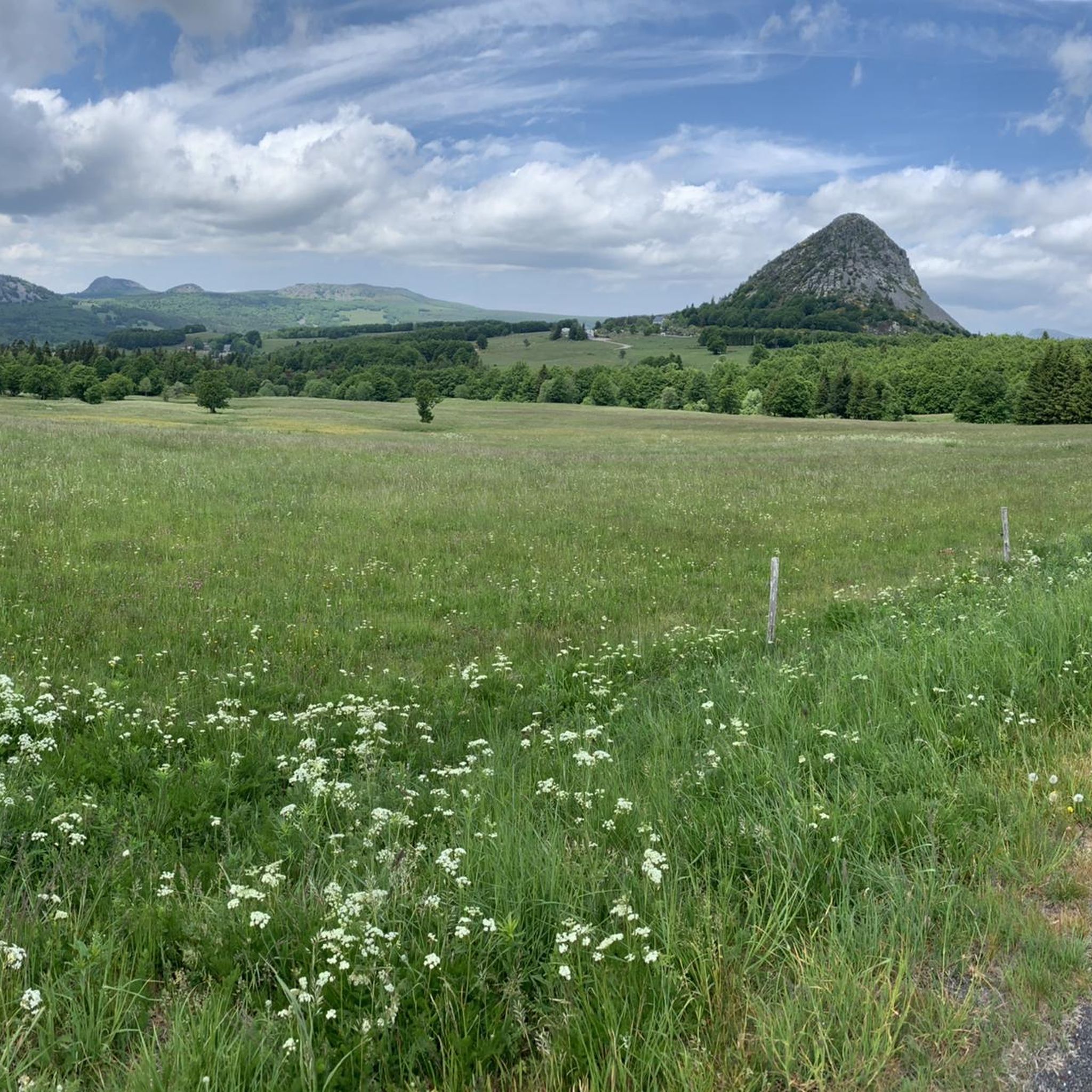
Mont Gerbier-de-Jonc is one of the highest peaks of the Monts d'Ardèche in the south-eastern Massif Central. The mountain itself is a striking, extinct volcanic cone with a good view over the Massif Central. The ascent and descent require some fitness and good footwear. There are a few short climbing rocks that cannot be avoided. But the view is worth it.
0
0

20 minutes but only for the very experienced :-) We took our time and enjoyed the landscape and view - a good two hours of enjoyment :-)
0
0

Major site for cycling in the Ardèche with multiple access routes, all just as beautiful
0
0
One of the sources of the Loire - you can get your feet wet here, but be careful, it's freezing cold :-)
1
0

Sensational basalt formations
2
0
Unfortunately, swimming is forbidden
2
0
Frequently Asked Questions
How many hiking trails are available around Sagnes-Et-Goudoulet?
There are 15 hiking routes available around Sagnes-Et-Goudoulet. These include 3 easy, 10 moderate, and 2 difficult trails, offering options for various skill levels.
Are there any easy, family-friendly hiking trails in Sagnes-Et-Goudoulet?
Yes, there are several easy trails suitable for families. For a shorter, pleasant walk, consider the Beautiful view – Bois loop from Besseilles, which is approximately 4.5 km long. The region also offers an easy 3 km Sagnes-et-Goudoulet Loop with wooded sections, and the 3.3 km Sainte-Eulalie Path, showcasing typical Ardèche landscapes.
What kind of natural features or landmarks can I expect to see on hikes in this region?
The region is rich in natural beauty and unique landmarks. You can explore the iconic Mount Gerbier de Jonc, known as the source of the Loire River, or witness the impressive Ray-Pic Waterfall. The area is also part of the Monts d'Ardèche Regional Natural Park, featuring volcanic landscapes with distinctive 'sucs' and extensive forests.
Are there any circular hiking routes in Sagnes-Et-Goudoulet?
Yes, many routes in the area are circular. For example, the Font de Gratteloup Shelter – Stone bridge loop from Sagnes-et-Goudoulet is a moderate 10.4 km loop. Another option is the Mount Gerbier de Jonc – Mount Gerbier de Jonc loop from Ferme du Bourlatier, a more challenging 12.4 km trail through volcanic terrain.
What do other hikers say about the trails in Sagnes-Et-Goudoulet?
The hiking routes in Sagnes-Et-Goudoulet are highly regarded by the komoot community, with an average rating of 4.5 stars from over 500 reviews. Hikers often praise the diverse terrain, from volcanic peaks to dense forests, and the well-maintained paths that offer varied experiences for all abilities.
Can I hike with my dog in Sagnes-Et-Goudoulet?
Yes, the region is generally dog-friendly for hiking. Beyond traditional trails, the Montagne Ardéchoise near Sagnes-et-Goudoulet even offers unique activities like cani-hiking (hiking with dogs) and summer dog sledding, indicating a welcoming environment for canine companions.
Are there any hikes that offer panoramic views?
Absolutely. The region's volcanic landscape provides numerous opportunities for stunning vistas. The Mount Gerbier de Jonc is particularly renowned for its exceptional panoramic views. The Le Béage Loop, a 5.6 km intermediate route, also offers great views of the 'Sucs' (volcanic peaks).
What is the best time of year to go hiking in Sagnes-Et-Goudoulet?
The Monts d'Ardèche region is beautiful year-round. While spring and autumn offer pleasant temperatures and vibrant colors, many trails are also accessible for snowshoeing in winter, providing a different kind of outdoor experience. Summer is also popular, but be prepared for warmer weather.
Are there any specific trails that lead to waterfalls?
Yes, the Ray Pic Waterfall – Ray-Pic Waterfall loop from Sagnes-et-Goudoulet is a moderate 14.5 km trail specifically designed to explore the area around the notable Ray-Pic Waterfall.
Are there options for more challenging or difficult hikes?
For those seeking a challenge, there are difficult routes available. The Mount Gerbier de Jonc – Mount Gerbier de Jonc loop from Ferme du Bourlatier is a 12.4 km difficult trail leading through volcanic landscapes. Another challenging option is a longer Ray-Pic Waterfall loop from Sagnes-et-Goudoulet, spanning over 20 km with significant elevation gain.
Can I combine hiking with local culinary experiences in the area?
Yes, the region promotes a 'From hike to plate' concept. This initiative allows hikers to combine their outdoor adventures with culinary experiences at local 'Bistrot de Pays' establishments, where you can enjoy meals made with local products.
What kind of geology defines the hiking landscape around Sagnes-Et-Goudoulet?
The landscape around Sagnes-Et-Goudoulet is primarily defined by its volcanic geology. Situated within the Monts d'Ardèche Regional Natural Park, a UNESCO Global Geopark, the area features approximately 50 extinct volcanoes, creating a distinctive terrain of volcanic craters and domes, often referred to as 'sucs'.
Most popular routes around Sagnes-Et-Goudoulet
Most popular attractions around Sagnes-Et-Goudoulet

Get inspired with the komoot mobile app


Explore more
Browse the best Hikes in other regions.
