The best mountain hikes around Tamins
4.9
(49)
461
hikers
8
hikes
Mountaineering routes Tamins are set within the canton of Graubünden, Switzerland, a region characterized by its mountainous terrain and significant geological features. The area is notable for the Ruinaulta, also known as the Rhine Gorge, a dramatic landscape carved by the Anterior Rhine and resulting from the Flims Rockslide. This confluence of the Anterior and Posterior Rhine rivers near Tamins forms the Alpine Rhine, creating diverse and challenging environments for mountaineering. The surrounding peaks and valleys offer varied ascents and…
Last updated: October 10, 2026
4.9
(25)
229
hikers
9.24km
05:53
890m
890m
Hard mountaineering route. Very good fitness required. Sure-footedness, sturdy shoes and alpine experience required.
5.0
(20)
168
hikers
12.3km
06:46
980m
980m
Hard mountaineering route. Very good fitness required. Sure-footedness, sturdy shoes and alpine experience required.

25
hikers
12.9km
06:56
1,020m
1,020m
Hard mountaineering route. Very good fitness required. Sure-footedness, sturdy shoes and alpine experience required.
4.5
(2)
16
hikers
11.3km
04:25
510m
510m
Moderate mountaineering route. Good fitness required. Mostly accessible paths. Sure-footedness required.
5.0
(1)
9
hikers
17.3km
06:43
1,230m
1,230m
Hard mountaineering route. Very good fitness required. Sure-footedness, sturdy shoes and alpine experience required.
Get access to more routes and recommendations from other explorers.
Already have an account?
Our route recommendations are based on thousands of hikes, rides, and runs completed by other people on komoot.
Start today with a free account
Your next adventure awaits.
Popular around Tamins

Alpine Passes Trail in Switzerland – 34 stages of pure mountain fun
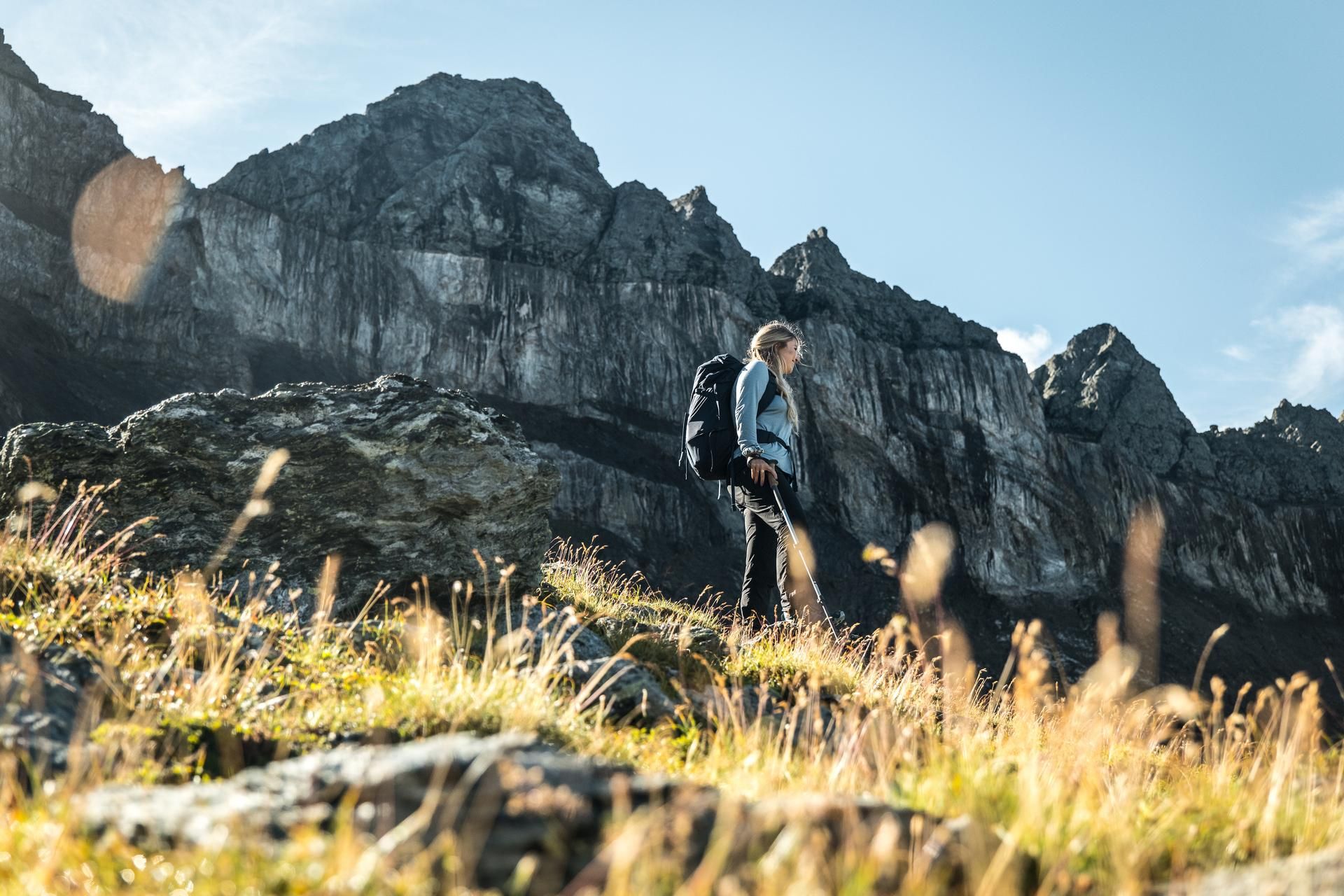
Hiking in the Swiss Tectonic Arena Sardona – Segnes Trek

On ancient paths towards Santiago — the Way of St. James Graubünden
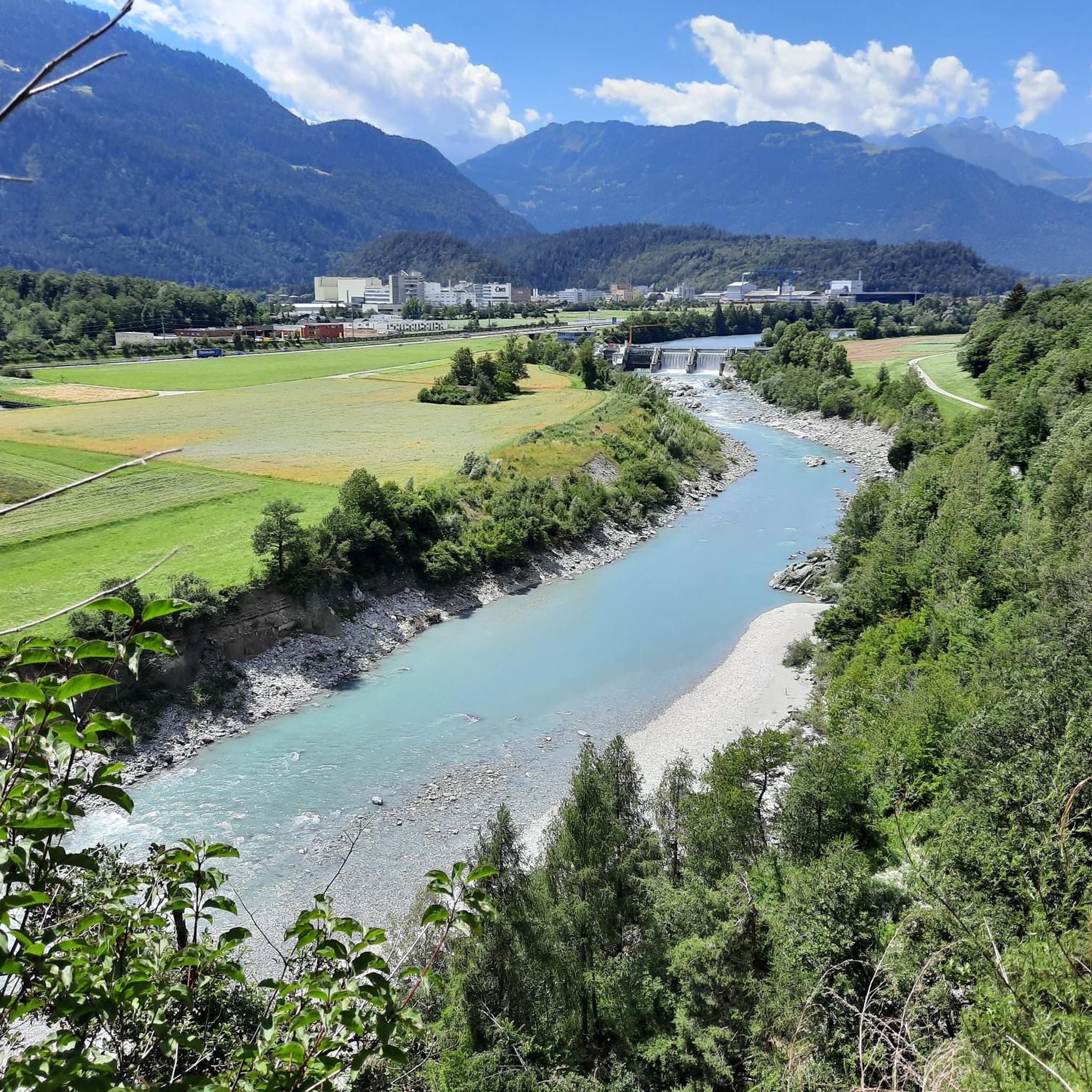
Cycling around Tamins
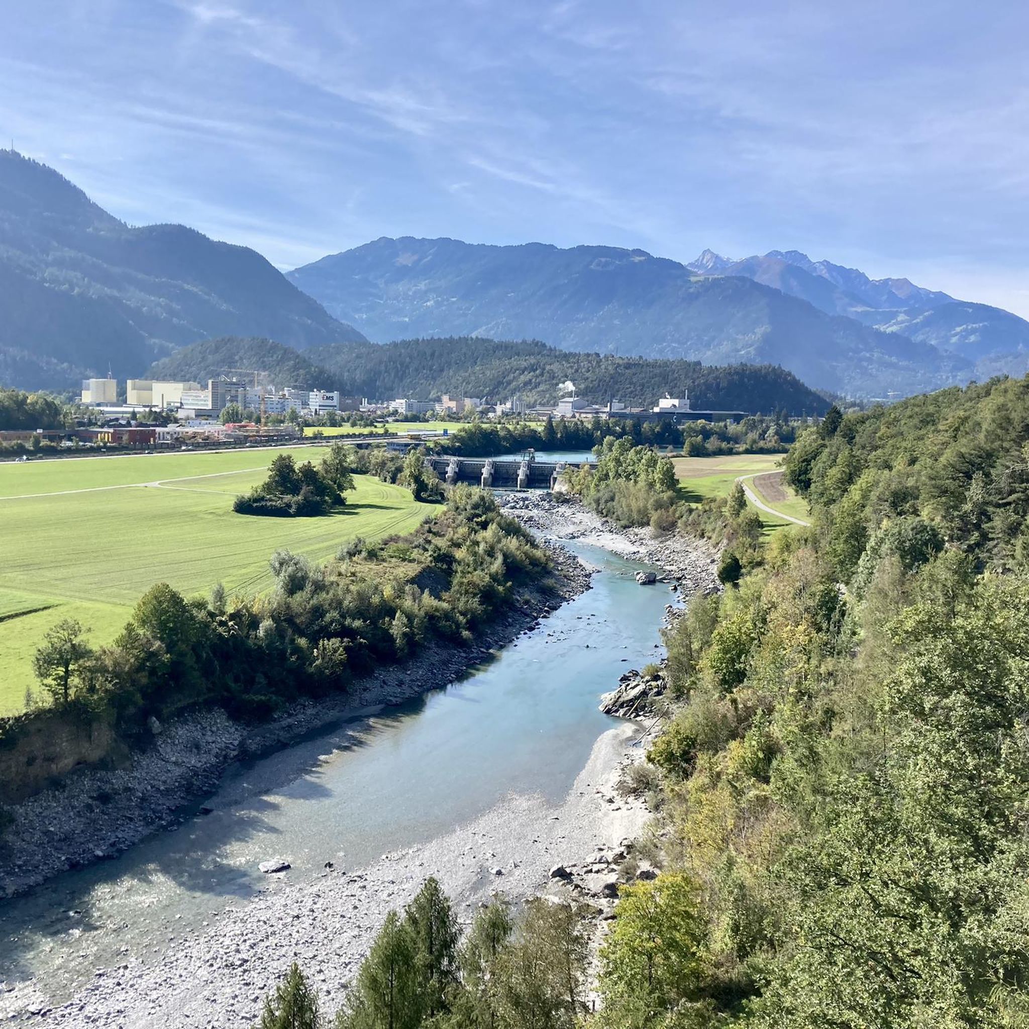
MTB Trails around Tamins
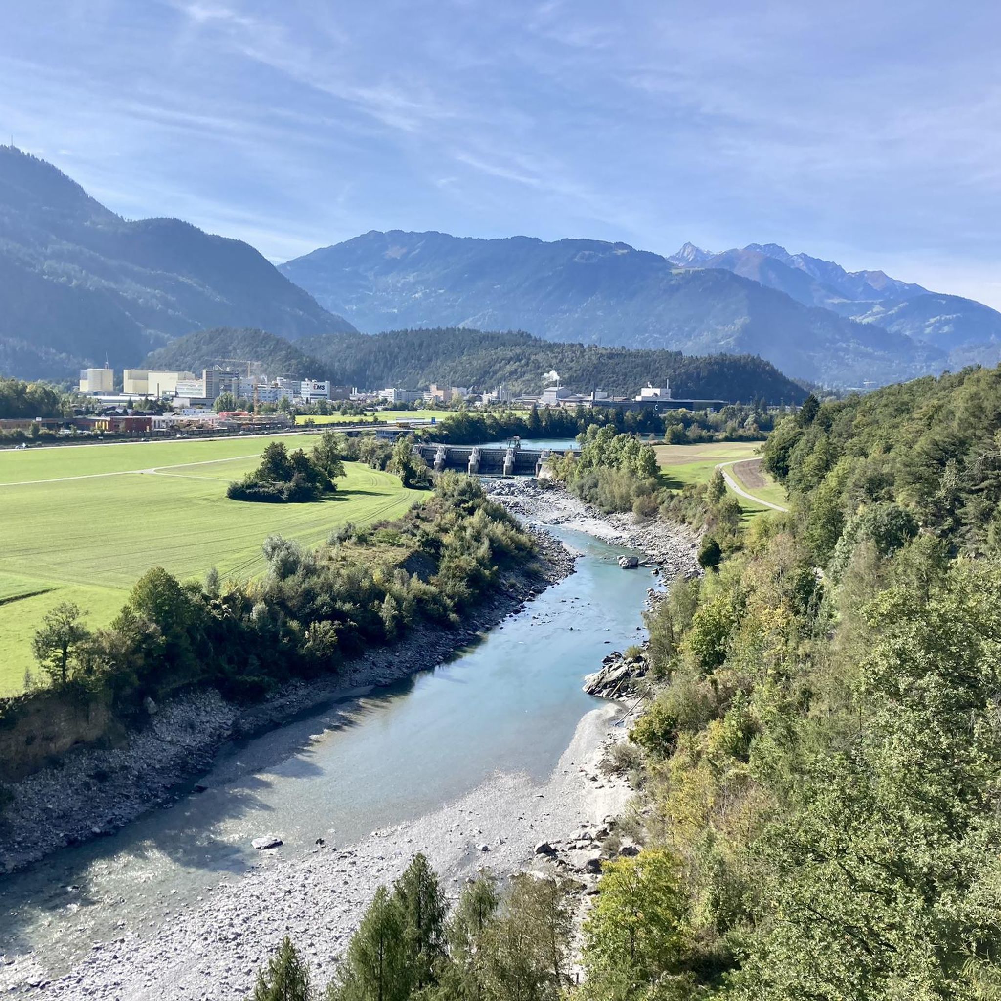
Road Cycling Routes around Tamins
Hiking around Tamins

Gravel biking around Tamins
Running Trails around Tamins
Other adventures around Tamins


Tips from the Community


In high summer, from the village of Trin in the valley below, the Alp Mora bus goes as far as Purcs, as the station is called. But beware, the bus only runs on Wednesdays and Saturdays, this year from June 27 to August 29, 2026. In the vast majority of cases, the bus is used to visit the potholes on Alp Mora, which is why it is often fully booked. Therefore, purchasing a ticket before the hike is recommended. Strollers and bicycles are not transported. Further information: https://trin-verkehrsverein.ch/
0
0


This gorge is incredibly beautiful and diverse
1
0


Fantastic geological phenomenon. After a long dry spell, the water is a bit greasy from the sun cream used by the bathers. ;-)
1
1

From this very challenging "staircase" you have a wonderful view over the Bargis high valley.
0
0
Frequently Asked Questions
How many mountaineering routes are available around Tamins?
There are nearly 10 mountaineering routes around Tamins, primarily focusing on challenging ascents and technical terrain. The region is known for its dramatic river gorges and high alpine landscapes, offering varied experiences for experienced outdoor enthusiasts.
What are the typical difficulty levels for mountaineering routes in Tamins?
The mountaineering routes around Tamins are predominantly difficult, with 8 out of 9 routes rated as such. There is one moderate route, but no easy routes are listed for mountaineering in this area, indicating that most options require significant experience and fitness.
Are there any circular mountaineering routes in Tamins?
Yes, several mountaineering routes around Tamins are designed as loops. For example, you can explore the Pinut Via Ferrata Entry – Via ferrata Pinut loop from Burgruine Belmont, which is a challenging 5.8-mile (9.3 km) route. Another option is the Calanda Hut – Calanda Summit loop from Hintere Alp, an 8.1-mile (13.0 km) trail through alpine landscapes.
What kind of natural attractions can I expect to see along the mountaineering routes?
The region around Tamins is rich in natural beauty, particularly the spectacular Ruinaulta, also known as the Rhine Gorge, which is a result of the Flims Rockslide. You can find stunning viewpoints like the Il Spir Viewing Platform – Rhine Gorge and the View of the Ruinaulta (Rhine Gorge). The area also features beautiful lakes such as Cresta Lake and Wildseeluggen.
What do other mountaineers say about the routes in Tamins?
The mountaineering routes in Tamins are highly regarded by the komoot community, holding an impressive average rating of 4.7 out of 5 stars from over 40 reviews. Many users praise the dramatic landscapes, the challenging nature of the trails, and the unique geological features like the Rhine Gorge.
Are there any routes that include a via ferrata?
Yes, the historic Pinut Via Ferrata is a prominent feature in some of the mountaineering routes. You can experience it on the Pinut Via Ferrata Entry – Via ferrata Pinut loop from Flims, a difficult 7.6-mile (12.3 km) path that offers exposed sections and stunning views of the rock formations.
What is the longest mountaineering route available?
One of the longer and more challenging routes is the Restaurant Startgels – Segneshütte loop from Flims. This difficult route spans approximately 11 miles (17.7 km) and involves significant elevation gain, typically taking over 7 hours to complete.
Are there any routes that explore the Flem Gorge?
Yes, you can explore the Flem Gorge on the Flem Gorge – Bridge Over the Flem loop from Flims. This difficult 7.1-mile (11.4 km) loop offers a unique perspective of the gorge and its natural features.
What is the best time of year for mountaineering in Tamins?
While specific seasonal data isn't provided, the mountainous terrain of Graubünden generally makes late spring through early autumn (June to September) the most suitable period for mountaineering. During these months, snowmelt is typically complete at lower to mid-altitudes, and weather conditions are more stable, though alpine conditions can change rapidly.
Are there any prominent mountain peaks accessible via mountaineering routes?
Yes, the region offers routes leading to significant peaks. For instance, the Calanda Hut – Calanda Summit loop from Hintere Alp takes you towards the Calanda Summit, providing a true alpine mountaineering experience. You can also find highlights like the Pizol Summit in the broader area.
Are there any historical or man-made monuments along the trails?
Yes, you might encounter historical markers or monuments. The Dreibündenstein Monument is a notable man-made monument in the area, which marks a historical meeting point of three former leagues in Graubünden. Additionally, the Valendas Wooden Fountain is another interesting man-made feature.
Most popular attractions around Tamins

Get inspired with the komoot mobile app


Explore more
Browse the best Mountain Hikes & Routes in other regions.
