The 19 Most Amazing Peaks around Pastricciola
Best mountain peaks around Pastricciola are found within a mountainous landscape in Corsica, France. This region is characterized by its diverse terrain, ranging from prominent summits to challenging mountain passes. The area offers a variety of natural features and viewpoints for outdoor enthusiasts. Visitors can explore a range of elevations and landscapes, making it a notable destination for hiking and appreciating mountain environments.
Best mountain peaks around Pastricciola
- The most popular mountain peaks is Monte Renoso, a summit that…
Last updated: July 7, 2026
Monte Renoso
Highlight • Summit
Translated by Google •
Tip by

Brèche de Capitello
Highlight • Mountain Pass
Translated by Google •
Tip by

Sign up now to discover places like this
Get recommendations on the best single tracks, peaks, & plenty of other exciting outdoor places.
Sign up for free
Palmentu Pass
Highlight • Summit
Translated by Google •
Tip by

Monte Rotondo Summit
Highlight • Summit
For GR20 hikers hiking north-south, there is an indescribable look back at the last stages, including the …
Translated by Google •
Tip by
Bocca alle Porte
Highlight • Mountain Pass
Translated by Google •
Tip by
Sign up for free to discover even more peaks around Pastricciola.
Sign up for free
Already have an account?
Start today with a free account
Your next adventure awaits.
Login or Signup
Popular around Pastricciola
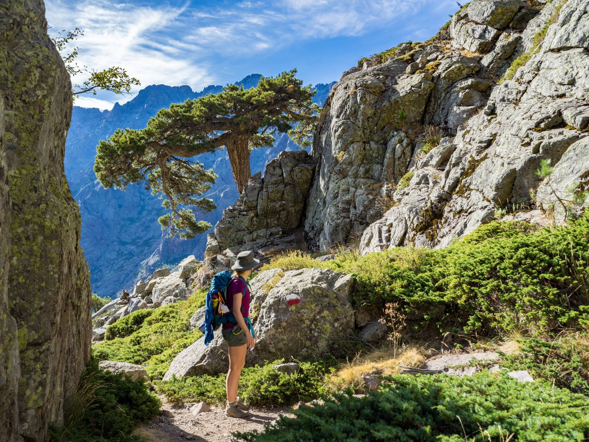
GR20 – Europe's toughest long-distance hiking trail through Corsica
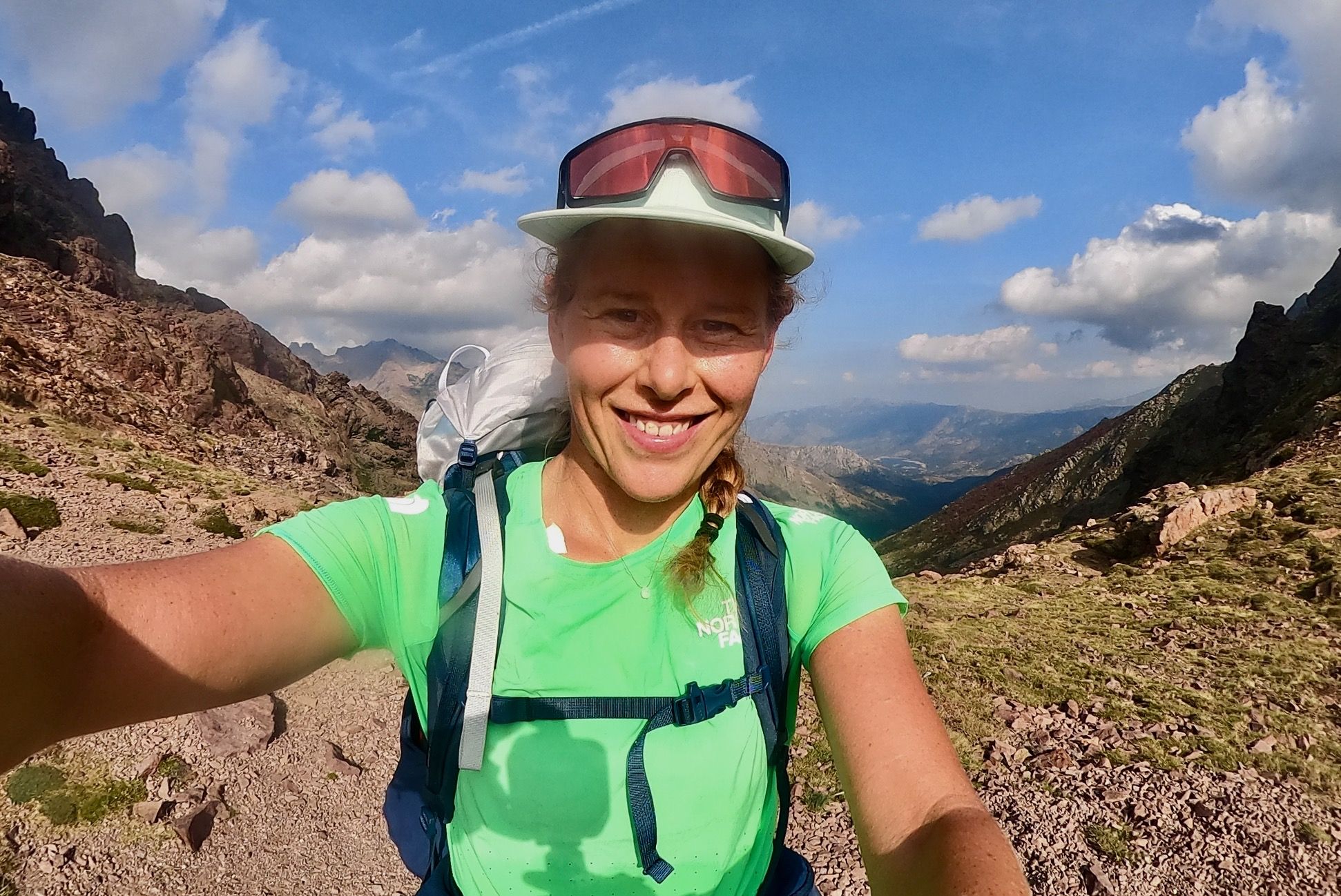
GR 20 – Six days backpacking the peaks and refuges of Corsica
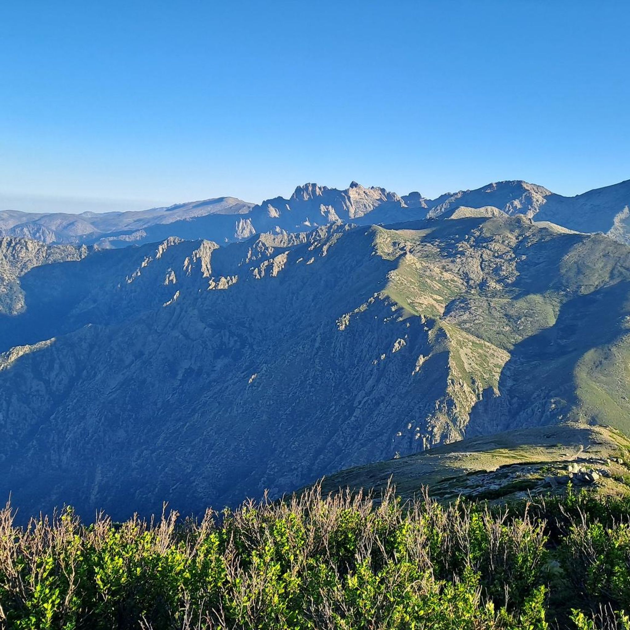
Hiking around Pastricciola
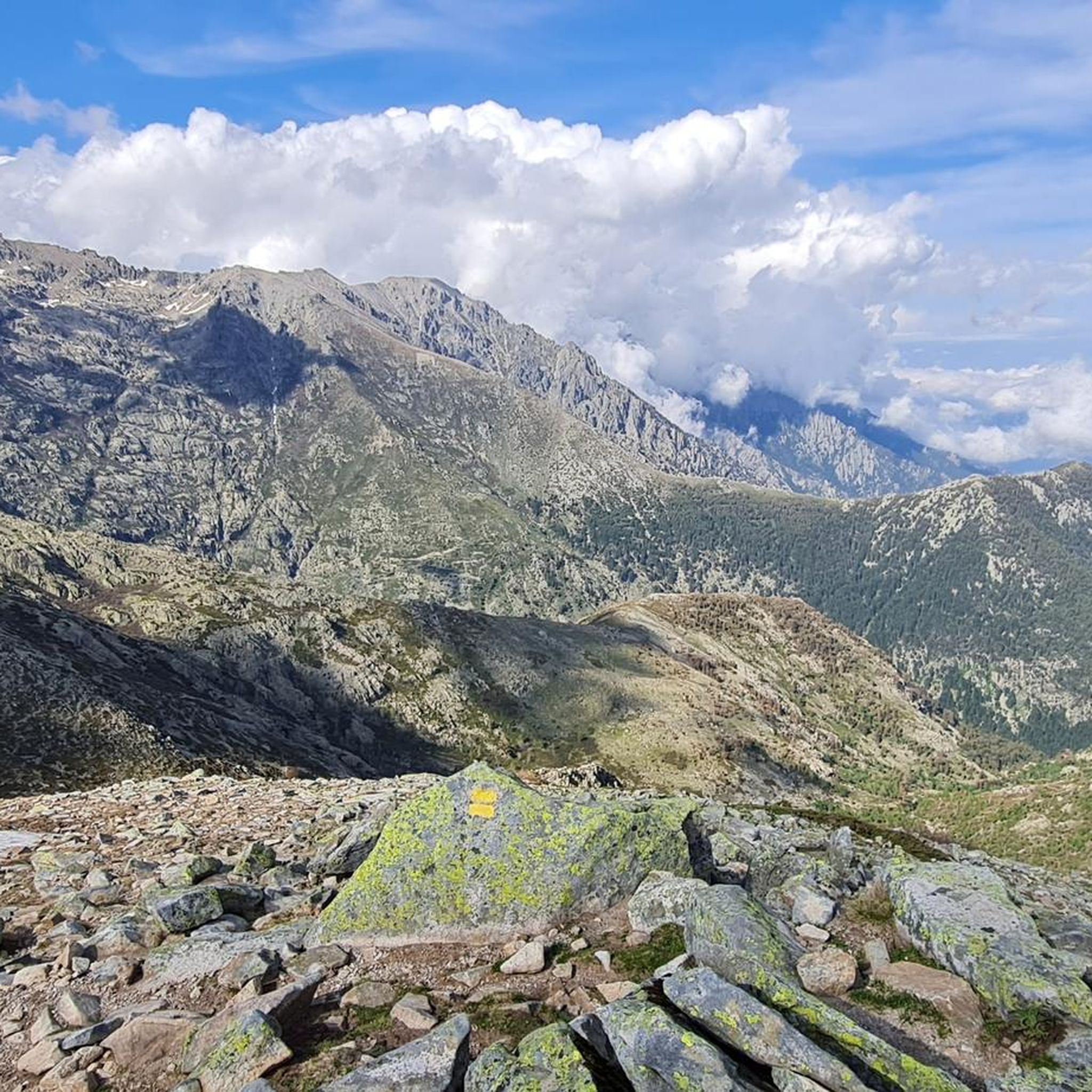
Road Cycling Routes around Pastricciola
Running Trails around Pastricciola
MTB Trails around Pastricciola

Mountain Hikes around Pastricciola
Cycling around Pastricciola


Tips from the Community


The climb is worth it. Wonderful views of the surrounding mountains!
0
0

very pretty here, very pretty
0
0

The Capitello breach is one of the most impressive passages of the GR 20. At an altitude of 2,073 meters, this passage provides exceptional panoramas of the Capitello and Melo lakes, as well as the Restonica valley.
1
0

We did the climb from the Restonica valley in early July. Heavy rainfall in May caused exceptionally large snowfields below the couloir. Orientation and finding a way was therefore more difficult than under normal circumstances. In particular, the descent on what is actually the same path required a good sense of direction, very confusing, also due to randomly placed cairns that ended in dead ends below the couloir (sometimes on the mighty, too steep granite slabs, which abruptly bordered snowfields and forced to turn back... with then new attempts). In total we have 15km, 3200m difference in altitude (ascent, descent), 6.5 hours in motion and 11.5 hours total time (2 x 45min breaks, remaining time for photos, path search) needed. Tip: be sure to inquire about the snow situation beforehand. possibly Bring a toddle, a snow plate for sticks and a rope. Luckily the snow was very soft, so we didn't need all that. Sticks are mandatory!
0
2

spectacular crossing of the highest point of the GR 20. Steep and rocky!
0
0
The path winds through beautiful beech trees and leads to Bocca Palmentu. This passage offers a clear view of the east of the island and a beautiful panorama of Monte d'Oru.
0
0
The path that evolves between pretty beech trees leads to the Bocca Palmentu. This passage offers an unobstructed view of the east of the island as well as a beautiful panorama of Monte d'Oru.
0
0
Frequently Asked Questions
Which mountain peaks are most popular with visitors around Pastricciola?
Visitors frequently appreciate Monte Renoso, known for its panoramic views across both the east and west coasts of Corsica. Another highly rated spot is Monte Rotondo Summit, offering an extensive platform view, especially rewarding for GR20 hikers looking back at previous stages. The challenging Brèche de Capitello is also very popular for its exceptional panoramas of the Capitello and Melo lakes.
What are some of the highest mountain peaks in the wider Corsican region accessible from Pastricciola?
The broader Corsican mountain ranges, often called the 'mountain in the sea,' host several iconic peaks. Monte Cinto, at 2706m, is the highest mountain in Corsica, offering imposing panoramic views. Monte Rotondo, Corsica's second-highest at 2622m, provides fantastic views above the Restonica valley. Monte Renoso, reaching 2352m, is another significant peak in the center-south of the island.
Are there any mountain peaks with unique geological features near Pastricciola?
Yes, Monte Tretorre (1506m), located near Guagno, is a geological rarity. It features a trifid (three-pronged) summit composed of syenite, offering a unique appearance and superb observation points overlooking a dense forest.
What kind of views can I expect from the mountain peaks around Pastricciola?
The peaks around Pastricciola offer diverse and stunning views. From Monte Renoso, you can see both the east and west coasts. Brèche de Capitello provides exceptional panoramas of the Capitello and Melo lakes and the Restonica valley. Punta d'Isa offers magnificent viewpoints over the Gravona valley, while Monte Cinto provides extensive views across the entire island on a clear day.
Are there challenging mountain passes to explore near Pastricciola?
Yes, the region features several challenging mountain passes. The Brèche de Capitello, at 2,073 meters, is one of the most impressive passages of the GR20. Another notable pass is Bocca alle Porte, which offers very spectacular sections of the GR20 with impressive views of Lac de Capitello and surrounding mountains.
What outdoor activities can I do near these mountain peaks?
The mountainous terrain around Pastricciola is ideal for various outdoor activities. You can find numerous mountaineering routes, such as the challenging 'Climbing by stairs and chains – Lake Capitello loop' from Lac de l'Oriente. For hiking, there are trails like the 'Petra Piana Refuge – Monte Rotondo Summit loop'. Mountain biking enthusiasts can explore routes like the 'View of Monte d'Oro loop' from Bocognano. You can find more details on these activities in the Mountain Hikes around Pastricciola, MTB Trails around Pastricciola, and Hiking around Pastricciola guides.
What is the best time to visit the mountain peaks around Pastricciola?
The best time to visit generally depends on the specific peak and your activity. For higher, more challenging peaks and passes like Brèche de Capitello or Monte Cinto, late spring to early autumn (June to September) is usually ideal to avoid snow and ensure more stable weather. Lower peaks or those with gentler ascents might be enjoyable earlier or later in the season. Always check local weather conditions before heading out, as fog can drift in quickly at higher elevations.
Are there any intermediate-level mountain passes for hikers?
Yes, the Palmentu Pass is an intermediate-level highlight. It offers a clear view of the east of the island and a beautiful panorama of Monte d'Oru and Monte Rotondo. The path winds through beautiful beech trees, making for a scenic ascent.
What kind of terrain can I expect on the trails to these mountain peaks?
The terrain varies significantly. For instance, the ascent to Monte Rotondo Summit can involve some climbing posts. Peaks like Monte Cinto are known for their rocky terrain, requiring proper equipment. The Corsican Alps, where Monte Renoso is located, are characterized by rugged, rocky terrain and steep slopes, providing challenging trails for experienced hikers. Even in June, some high passes like Bocca alle Porte can still be snowy.
Are there any easily accessible peaks with rewarding views near Pastricciola?
Yes, Punta d'Isa (1630m), located close to Ajaccio, is accessible from areas like Col de Scalella. While a direct, quicker route to the summit exists, a longer, gentler loop is recommended for its scenic landscapes. Its accessibility and rewarding vistas make it a popular choice for those seeking a quicker ascent with beautiful payoffs.
What do visitors say about the views from the mountain peaks?
Visitors consistently praise the views. For Monte Renoso, the view is described as 'fabuleux,' extending to many well-known mountains and peaks. The summit of Monte Rotondo offers a 'wonderful panoramic view' from its platform. The Bocca alle Porte provides an 'impressive view' of Lac de Capitello and the surrounding mountains, with sunrise being a particularly recommended experience.
Are there any peaks that offer a good observation point over dense forests?
Yes, Monte Tretorre (1506m) provides a superb observation point overlooking a dense forest. Its distinct geological formations and panoramic views make it a unique visit for hikers.
Most popular attractions around Pastricciola

Get inspired with the komoot mobile app


Explore more
See even more amazing summits around Pastricciola with these guides:
