The best cycling routes around Pastricciola
4.5
(23)
293
riders
10
rides
Touring cycling around Pastricciola, located within the Regional Natural Park of Corsica, offers routes through challenging mountainous landscapes and diverse natural features. The region is characterized by significant elevation changes, with routes traversing high passes and deep valleys. Cyclists can expect to ride through thick forests of Laricio pines and chestnut trees, alongside rivers like the Vecchio, and past unique geological formations. This area provides a blend of physical challenge and natural immersion.
Best touring cycling routes around Pastricciola
- The…
Last updated: June 29, 2026
5.0
(3)
30
riders
72.0km
05:49
1,840m
1,840m
Hard bike ride. Very good fitness required. Mostly paved surfaces. Suitable for all skill levels.
19
riders
91.3km
06:40
2,080m
2,080m
Hard bike ride. Very good fitness required. Mostly paved surfaces. Suitable for all skill levels.

Sign up for free
5.0
(3)
19
riders
38.0km
03:14
1,310m
1,310m
Hard bike ride. Very good fitness required. Mostly paved surfaces. Suitable for all skill levels.
4.5
(2)
17
riders
116km
08:01
2,190m
2,190m
Hard bike ride. Very good fitness required. Mostly paved surfaces. Suitable for all skill levels.
3.0
(1)
9
riders
99.8km
07:39
2,620m
2,620m
Hard bike ride. Very good fitness required. Mostly paved surfaces. Suitable for all skill levels.
Get access to more routes and recommendations from other explorers.
Sign up for free
Already have an account?
Our route recommendations are based on thousands of hikes, rides, and runs completed by other people on komoot.
Start today with a free account
Your next adventure awaits.
Login or Signup
Popular around Pastricciola
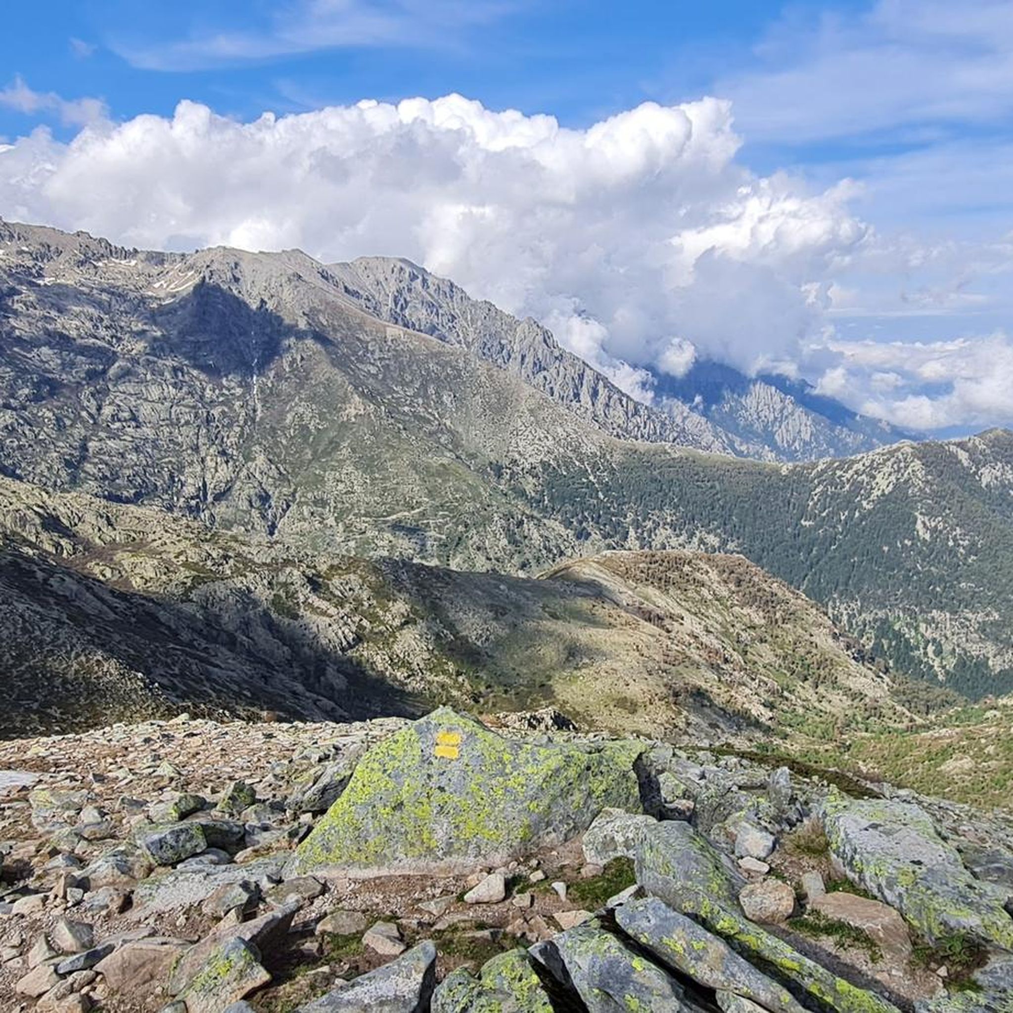
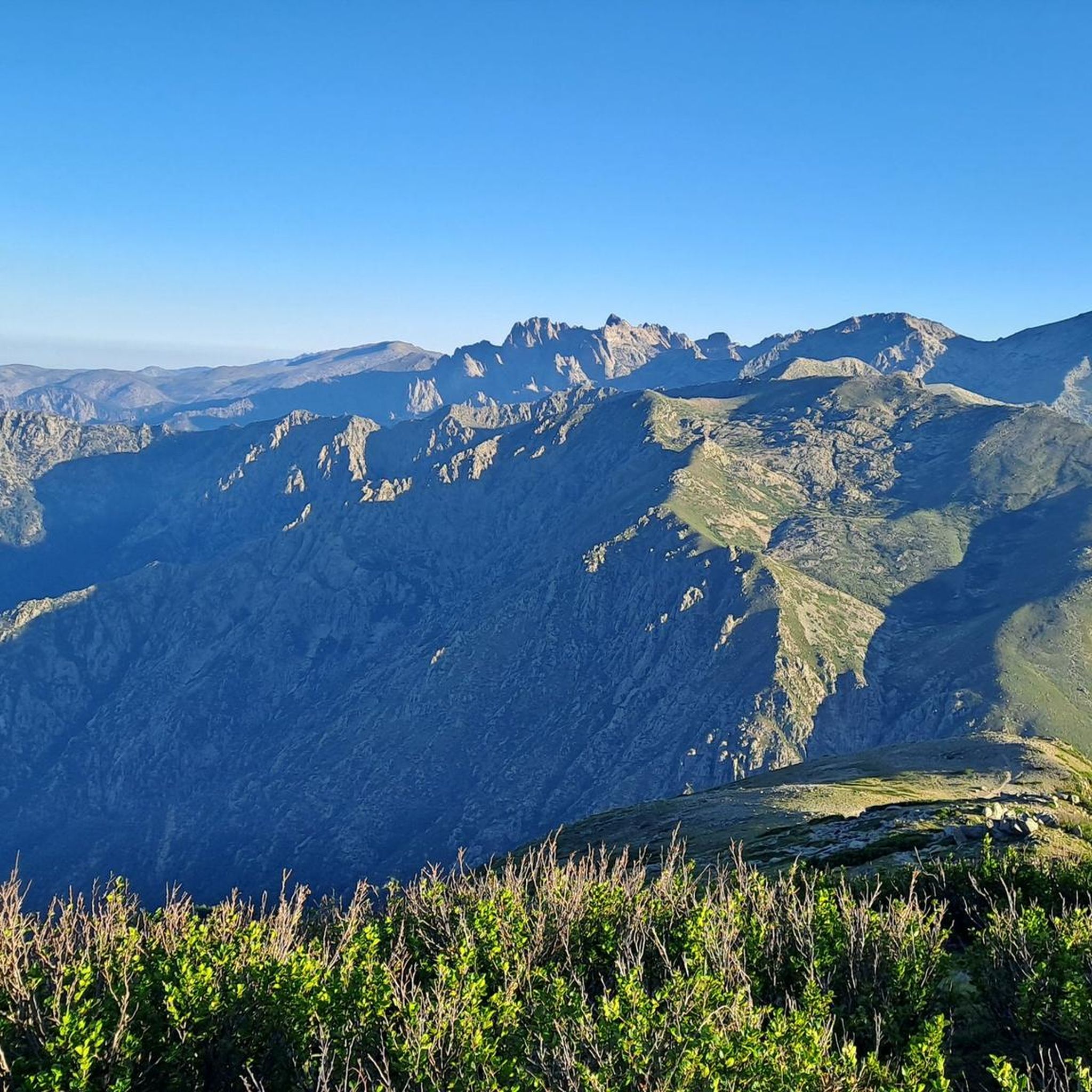



Tips from the Community


The Vecchio rises on the Monte d'Oro and is initially called Agnone. This river is best known for its Cascades des Anglais, which attract hundreds of tourists every day in high season. From the hamlet of Vizzavona onwards, the river is called Vecchio and you only meet very few people. Shortly after entering Canaglia, it joins the Manganello. Here the Vecchio valley becomes very lonely. On the right-hand side, far above the riverbed, the railway line winds its way along the hills, barely visible. You don't notice the busy T20, which lies behind the hills. You only see it when you get off at the Ponte Vecchio. High above us, it crosses the Vecchio valley on the new bridge. Later, the Vecchio flows into the Tavignano, which reaches the sea near Aléria.
1
0
Muracciole (Corsican: I Muraccioli) is a municipality in the French department of Haute-Corse on the Mediterranean island of Corsica. It belongs to the canton of Corte in the arrondissement of Corte. The inhabitants call themselves Muracciolais or Muracciaschi. The settlement area consists of the villages of Muracciole and Arca. The neighboring municipalities are Noceta to the north and east, Vezzani to the southeast, Ghisoni to the south, Vivario to the west and Venaco to the northwest.
1
0
The Route Forestière 6 was a road in Corsica established in 1854 by the Décret Imperial 1782. It was built to develop one of Corsica's forests for the timber industry. Operated by the state, it had the status of a national road. The F6 branched off from the National Road 198 south of Aléria and led to Vivario. It was 45 kilometers long. It was downgraded in 1973.
1
0
The Vecchio rises on the Monte d'Oro and is initially called Agnone. This river is best known for its Cascades des Anglais, which attract hundreds of tourists every day in high season. From the hamlet of Vizzavona onwards, the river is called Vecchio and you only meet very few people. Shortly after entering Canaglia, it joins the Manganello. Here the Vecchio valley becomes very lonely. On the right-hand side, far above the riverbed, the railway line winds its way along the hills, barely visible. You don't notice the busy T20, which lies behind the hills. You only see it when you get off at the Ponte Vecchio. High above us, it crosses the Vecchio valley on the new bridge. Later, the Vecchio flows into the Tavignano, which reaches the sea near Aléria.
1
0

A pass is always an outcome, therefore a moment of contentment and joy: 1311 meters. great
1
0

We left the past behind twice during the passage and enjoyed fresh seafood at Etang D'urbino and Etang Diana
0
0
After a long climb there are wonderful views of the reservoir
0
0
Frequently Asked Questions
How many touring cycling routes are available around Pastricciola?
There are 10 touring cycling routes around Pastricciola, offering a range of challenging options through the mountainous terrain. The komoot community has highly rated these routes, with an average score of 4.8 stars.
What kind of terrain can I expect on touring cycling routes near Pastricciola?
The terrain around Pastricciola is predominantly mountainous, featuring significant elevation changes and challenging climbs over passes like Col de Sorba and Col de Scalella. You'll cycle through diverse landscapes including thick forests of Laricio pines and chestnut trees, and along river valleys such as the Vecchio.
Are there any routes suitable for less experienced touring cyclists?
While most routes around Pastricciola are classified as difficult due to the mountainous terrain and significant elevation gains, there is one moderate option available. This allows for a slightly less strenuous experience while still enjoying the region's natural beauty.
Can I find circular touring cycling routes in the Pastricciola area?
Yes, many of the touring cycling routes around Pastricciola are designed as loops. For example, the popular Nuceta Bridge – Venaco loop from Vizzavona and the Col de Scalella – View of Lake Tolla loop from Tavera are both circular routes, allowing you to start and finish at the same point.
What natural features or landmarks can I see along the touring cycling routes?
The routes offer stunning natural features. You can encounter impressive mountain passes like Col de Sorba, and enjoy panoramic views from points such as Punta Sant'Eliseu. The region is also home to beautiful waterfalls, including the famous English Falls and the Bridal Veil Waterfall. You'll also cycle through diverse forests and along the Vecchio river.
Are there any historical or cultural points of interest accessible by bike?
While Pastricciola itself is focused on natural beauty, routes like the Corte Citadel – Corte loop from Col de Vizzavona integrate historical landmarks into your cycling itinerary. This allows you to combine physical activity with cultural exploration in nearby areas.
What is the best time of year for touring cycling in Pastricciola?
The mountainous terrain around Pastricciola means that spring and autumn generally offer the most pleasant conditions for touring cycling, with milder temperatures and less extreme weather. Summer can be hot, especially on climbs, while winter may present challenges with snow at higher elevations.
Are there any long-distance touring cycling options available?
Yes, Pastricciola offers several long and challenging routes. For instance, the Col de Cardo, 370 m above sea level – Matra Fort loop from Vizzavona covers over 115 km with significant elevation gain, providing a substantial long-distance touring experience.
What do other touring cyclists enjoy most about cycling in Pastricciola?
The komoot community highly rates the touring cycling routes around Pastricciola, with an average score of 4.8 stars from over 20 reviews. Cyclists often praise the challenging mountainous terrain, the rewarding panoramic views from high passes, and the immersion in diverse natural landscapes like thick forests and serene river valleys.
Are there opportunities for wild swimming near the cycling routes?
The region is known for its natural water features, including the Vecchio river and its cascades. While specific wild swimming spots are not detailed for every route, the presence of rivers and features like the Vasques du Ziocu suggests opportunities for refreshing dips, particularly in secluded sections of the Vecchio valley.
What are the typical elevation gains on these touring cycling routes?
The touring cycling routes around Pastricciola are characterized by significant elevation gains, reflecting the mountainous nature of the region. For example, the Col de Scalella – View of Lake Tolla loop from Tavera involves over 2,000 meters of ascent, while the Col de Sorba – Ghisoni at 700 m above sea level. loop from Camping Savaggio includes over 1,300 meters of climbing.
Most popular attractions around Pastricciola

Get inspired with the komoot mobile app


Explore more
Browse the best Cycling routes in other regions.
