The best walks and hikes around Saint-Gervais-Sur-Couches
4.6
(532)
2,615
hikers
190
hikes
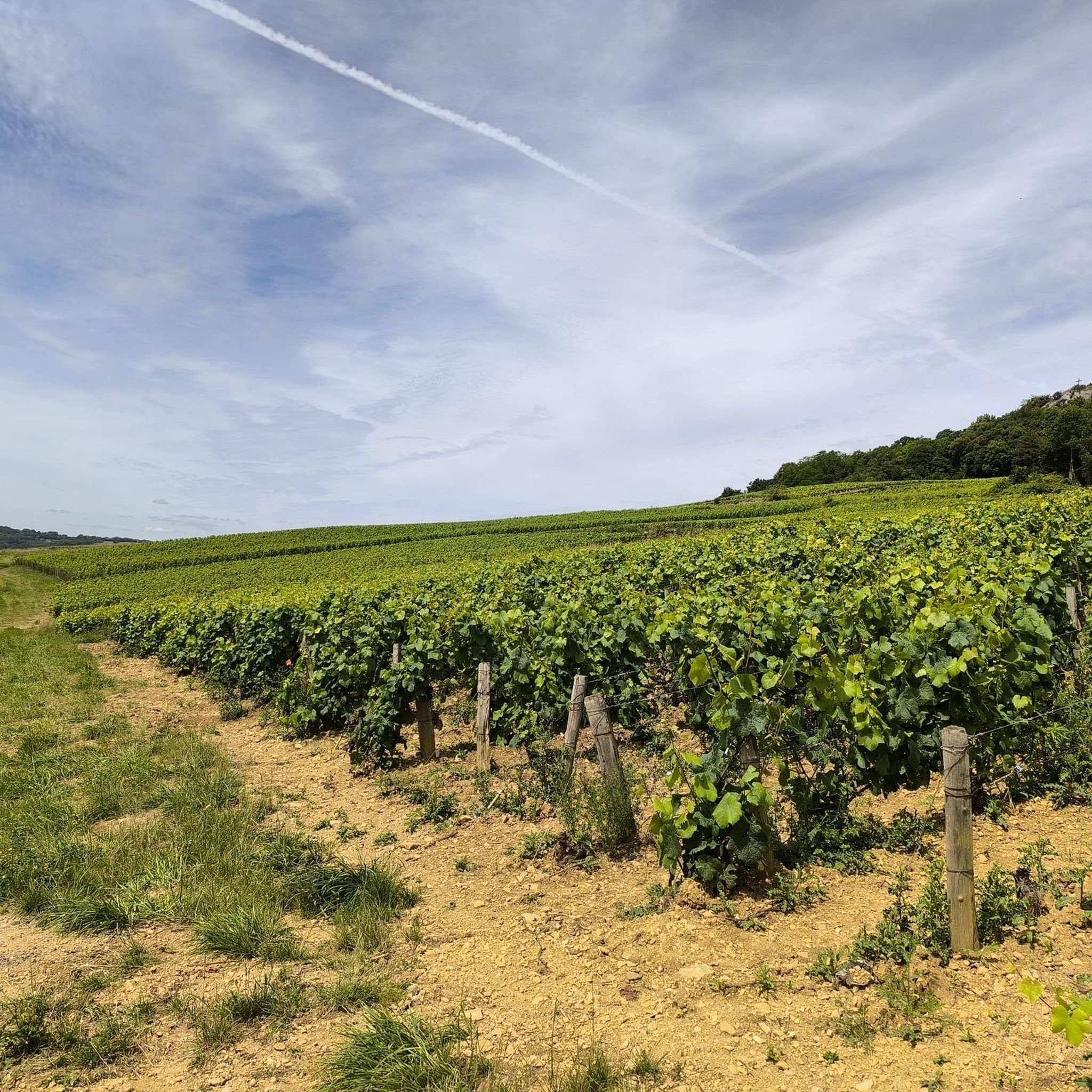
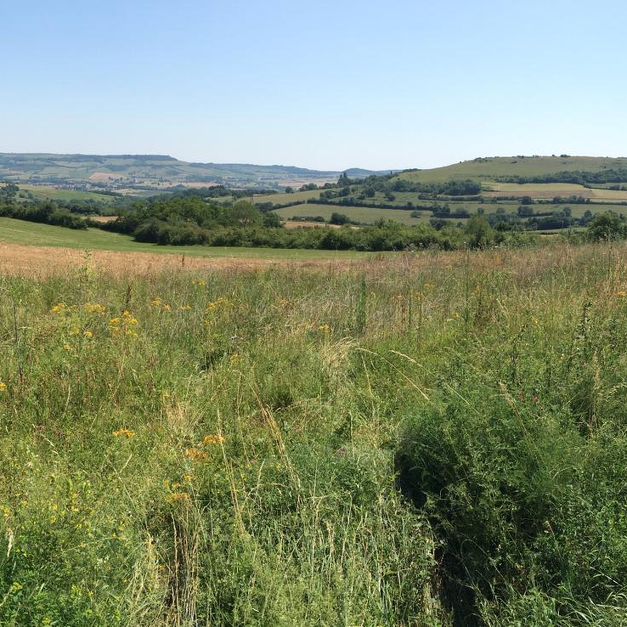
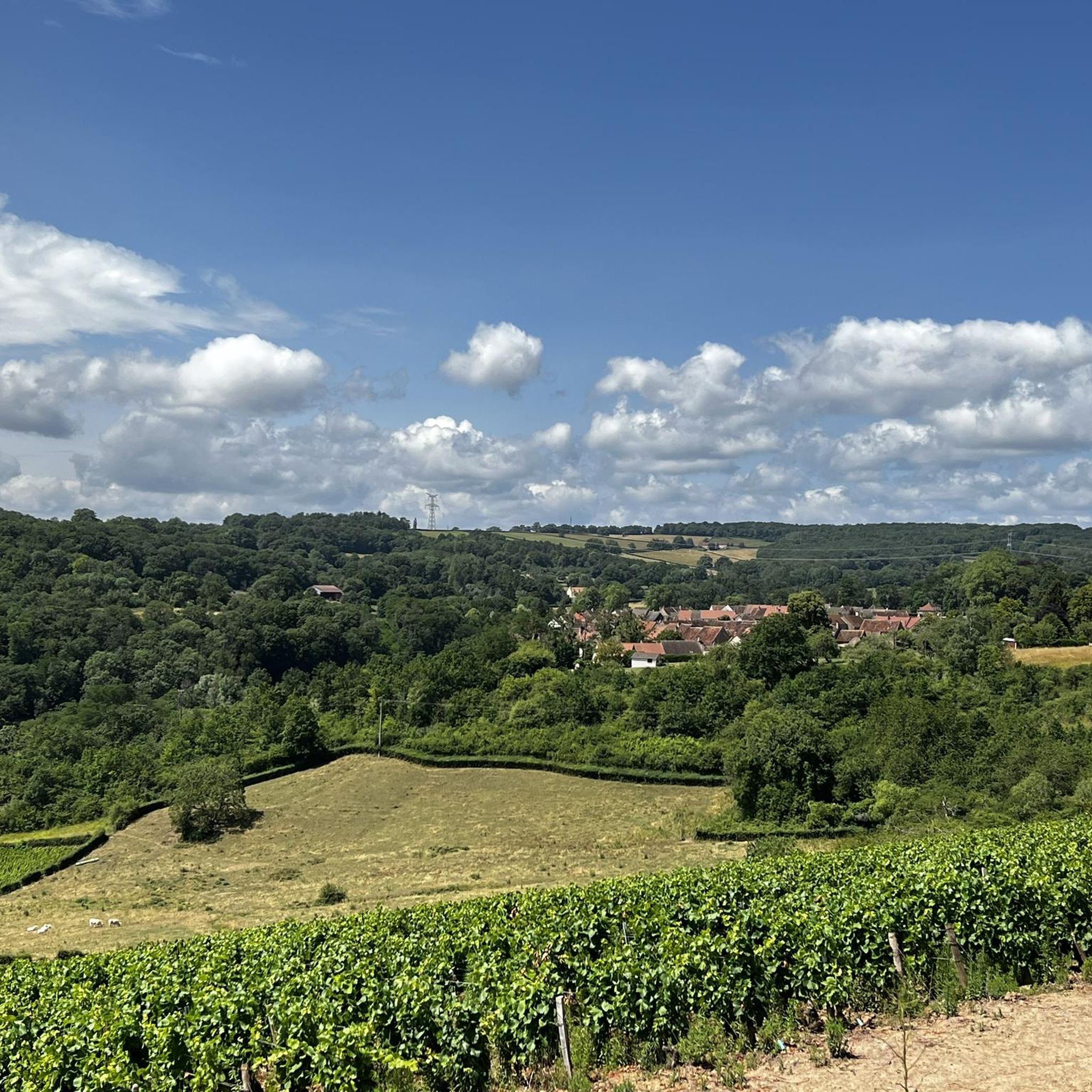
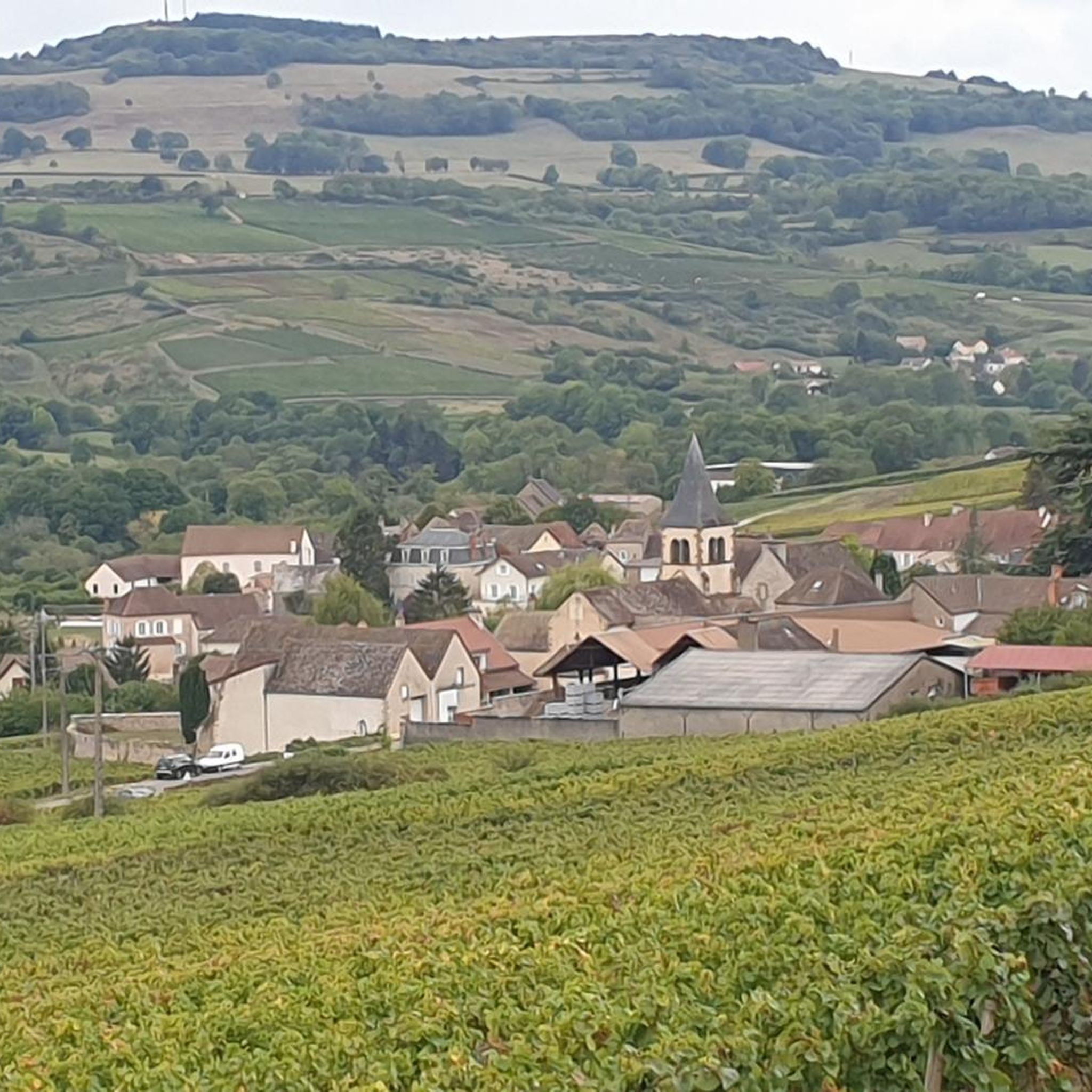
Hiking around Saint-Gervais-Sur-Couches offers a variety of terrain, characterized by rolling hills and scenic viewpoints. The region features a mix of open landscapes and forested sections, with some routes providing views of the surrounding countryside. Elevation changes are present, ranging from gentle ascents on easier trails to more significant climbs on difficult routes. The area provides opportunities for exploring both short, accessible paths and longer, more challenging excursions.
Best hiking trails around Saint-Gervais-Sur-Couches
- The most popular hiking route is View…
Last updated: July 6, 2026
5.0
(8)
20
hikers
5.03km
01:23
80m
80m
Easy hike. Great for any fitness level. Easily-accessible paths. Suitable for all skill levels.
4.0
(2)
13
hikers
17.9km
05:17
500m
500m
Hard hike. Very good fitness required. Easily-accessible paths. Suitable for all skill levels.

Sign up for free
3.3
(3)
8
hikers
9.15km
02:38
220m
220m
Moderate hike. Good fitness required. Easily-accessible paths. Suitable for all skill levels.
4.3
(4)
7
hikers
10.5km
03:06
290m
290m
Moderate hike. Good fitness required. Easily-accessible paths. Suitable for all skill levels.
9
hikers
23.4km
06:59
720m
720m
Hard hike. Very good fitness required. Easily-accessible paths. Suitable for all skill levels.
Get access to more routes and recommendations from other explorers.
Sign up for free
Already have an account?
Our route recommendations are based on thousands of hikes, rides, and runs completed by other people on komoot.
Start today with a free account
Your next adventure awaits.
Login or Signup

Tips from the Community

there is a nice overview of the region
0
0
A hiking trail to the right circles the Hill of the Three Crosses. First uphill, as always, then a leisurely descent. Afterwards, a quick lunch with friendly people in Santenay's market square!
0
0

The name "Montagne de Trois Croix" already hinted at it, and so it's no real surprise to find more than just a summit cross up here, which – as is common in many places – crowns the mountain peak. The central cross, standing in the middle, points the observer to the execution of the incarnate Son of God, Jesus of Nazareth. According to biblical tradition, however, he was not condemned to death and crucified alone, but together with two criminals. Pope Francis, who died on Easter Monday, once composed the following prayer on this subject: "Help us, Son of Man, to free ourselves from the arrogance of the thief, the robber on your left, and of the short-sighted and the corrupt (...) Instead, we ask you, Son of God, to identify us with the good thief who looked at you with eyes full of shame, repentance, and hope; who, with the eyes of faith, saw divine victory in your apparent defeat and thus knelt before your mercy and grace and stole paradise with honesty and integrity.
2
0
The name "Montagne de Trois Croix" already hinted at it, so it's no real surprise to find more than just a summit cross up here, which – as is common in many places – crowns the mountain peak. The central cross, standing in the middle, reminds the viewer of the execution of the incarnate Son of God, Jesus of Nazareth. According to biblical tradition, however, he was not condemned to death and crucified alone, but together with two criminals. By the way, more photos can be seen at the same highlight in the sport of 'hiking' =>> https://www.komoot.com/de-de/highlight/3398888
0
0

Beautiful point, but find a good route to get there, it can be very muddy and slippery through the forest in a wet season.
0
0

This dolmen is in the form of a megalithic chest covered with a large triangular slab. The base of this southeast-facing triangle is 3 m long. The other two sides are 3.50 m long. The dolmen has been listed as a historical monument since 1912. A second dolmen, located near Mont-de-Sène, not far from this dolmen, is still covered with a mound of earth.
1
0
Weather permitting, this spot offers a wonderful view. Two signs provide orientation. Dolmen sites around the mountain indicate that it played a role for humans as early as 5000 BC, but rare plants and animals also thrive here. Another unique feature is that the border between two departments runs here, so one of the three crosses is in Côte-d'Or and the other two in Saône-et-Loire.
4
0

Not the nicest location as such with the antenna tower, but the view is great and the picnic area provides a great place for a rest on a tour.
4
0
Frequently Asked Questions
How many hiking trails are there in Saint-Gervais-Sur-Couches?
There are nearly 200 hiking trails around Saint-Gervais-Sur-Couches, offering a wide range of options for all skill levels. You'll find everything from easy strolls to challenging ascents.
Are there any easy hikes suitable for beginners or families?
Yes, Saint-Gervais-Sur-Couches offers 70 easy routes. A great option for a gentle walk is the View of Change loop from Change, which is 3.1 miles (5.0 km) long and offers pleasant views of the Change area.
What kind of terrain can I expect on the hiking trails?
The terrain around Saint-Gervais-Sur-Couches is characterized by rolling hills, open countryside, and forested sections. You'll encounter a mix of gentle ascents and more significant climbs, providing varied landscapes throughout your hike.
Are there any circular walks or loop trails in the area?
Many of the trails in Saint-Gervais-Sur-Couches are circular. For example, the moderate View of Change – Small castle loop from Change is a 5.7 miles (9.1 km) trail that takes you through varied terrain with historical points of interest.
What are some challenging hikes for experienced hikers?
For experienced hikers seeking a challenge, the region offers 8 difficult routes. The Mount Rome – View of Mont Rome loop from Saint-Gervais-sur-Couches is an 11.1 miles (17.9 km) path with substantial elevation gain and expansive views from Mont Rome.
What do other hikers enjoy most about hiking in Saint-Gervais-Sur-Couches?
The area is highly rated by the komoot community, with an average score of 4.6 stars from nearly 500 reviews. Hikers often praise the diverse landscapes, from rolling hills to forested paths, and the well-maintained trails that cater to various fitness levels.
Are there any waterfalls or impressive natural features to see?
Yes, you can discover natural features like the Impressive Cliff With Steep Descent and Waterfall. Another notable spot is the View of the Cirque at the End of the World, offering dramatic scenery.
What historical landmarks or points of interest can I find along the trails?
The region is rich in history. You can explore sites such as the La Rochepot Castle, the ancient Menhirs of Époigny, or the Cul Blanc Dolmen. Many routes pass by these historical treasures.
Are there any routes that offer particularly good views?
Absolutely. For panoramic vistas, consider routes that ascend to higher points like Mont Rome. The Mount Rome – View of Mont Rome loop from Saint-Sernin-du-Plain provides excellent opportunities for expansive views of the surrounding countryside.
Are there any long-distance routes or greenways nearby?
Yes, the area is connected to longer routes. You can access sections of the Canal du Centre Greenway (EuroVelo 6), which offers flat, scenic paths suitable for walking and cycling. There's also the Greenway on the Cormot Viaduct for a unique experience.
What is the best time of year to go hiking in Saint-Gervais-Sur-Couches?
The region is enjoyable for hiking throughout much of the year. Spring and autumn offer pleasant temperatures and vibrant scenery, while summer provides longer daylight hours. Even in winter, some trails are accessible, though conditions may vary.
Are there any routes that pass through or near villages where I can find amenities?
Many routes are designed as loops from villages like Change or Saint-Gervais-sur-Couches, where you can find local amenities. The nearby settlement of Saint-Léger-sur-Dheune also offers services for hikers.
Most popular routes around Saint-Gervais-Sur-Couches
Most popular attractions around Saint-Gervais-Sur-Couches

Get inspired with the komoot mobile app


Explore more
Browse the best Hikes in other regions.
