The best walks and hikes around Le Castellard-Mélan
4.6
(204)
1,495
hikers
67
hikes
Hiking around Le Castellard-Mélan offers access to the varied terrain of the Alpes-de-Haute-Provence region. The landscape is characterized by mountain passes, forested slopes, and elevated areas, providing diverse hiking environments. Trails often feature significant elevation changes, leading to summits and through valleys. This region provides opportunities for both moderate excursions and more challenging, longer-distance hikes.
Best hiking trails around Le Castellard-Mélan
- The most popular hiking route is Fontbelle Pass – Géruen Summit loop from Col de Fontbelle, a 8.3…
Last updated: July 8, 2026
4.9
(15)
86
hikers
13.4km
04:13
550m
550m
Moderate hike. Good fitness required. Easily-accessible paths. Suitable for all skill levels.
4.5
(6)
24
hikers
8.88km
02:51
390m
390m
Moderate hike. Good fitness required. Easily-accessible paths. Suitable for all skill levels.

Sign up for free
4.7
(3)
18
hikers
16.6km
05:12
620m
620m
Hard hike. Very good fitness required. Easily-accessible paths. Suitable for all skill levels.
5.0
(1)
12
hikers
10.2km
03:11
380m
380m
Moderate hike. Good fitness required. Easily-accessible paths. Suitable for all skill levels.
5.0
(1)
12
hikers
20.1km
06:25
770m
770m
Hard hike. Very good fitness required. Easily-accessible paths. Suitable for all skill levels.
Get access to more routes and recommendations from other explorers.
Sign up for free
Already have an account?
Our route recommendations are based on thousands of hikes, rides, and runs completed by other people on komoot.
Start today with a free account
Your next adventure awaits.
Login or Signup
Tips from the Community

Thoard is a dynamic medieval village. The town is full of streets and galleries. The bell tower of the 12th century church dominates the city perched on its rocky outcrop. We enjoy an ice cream there or sit at the inn. Village festivals punctuate the lives of residents throughout the year in this town where the surrounding area is concentrated. Beautiful views of the lavender fields make it a destination that smells of Provence.
2
0
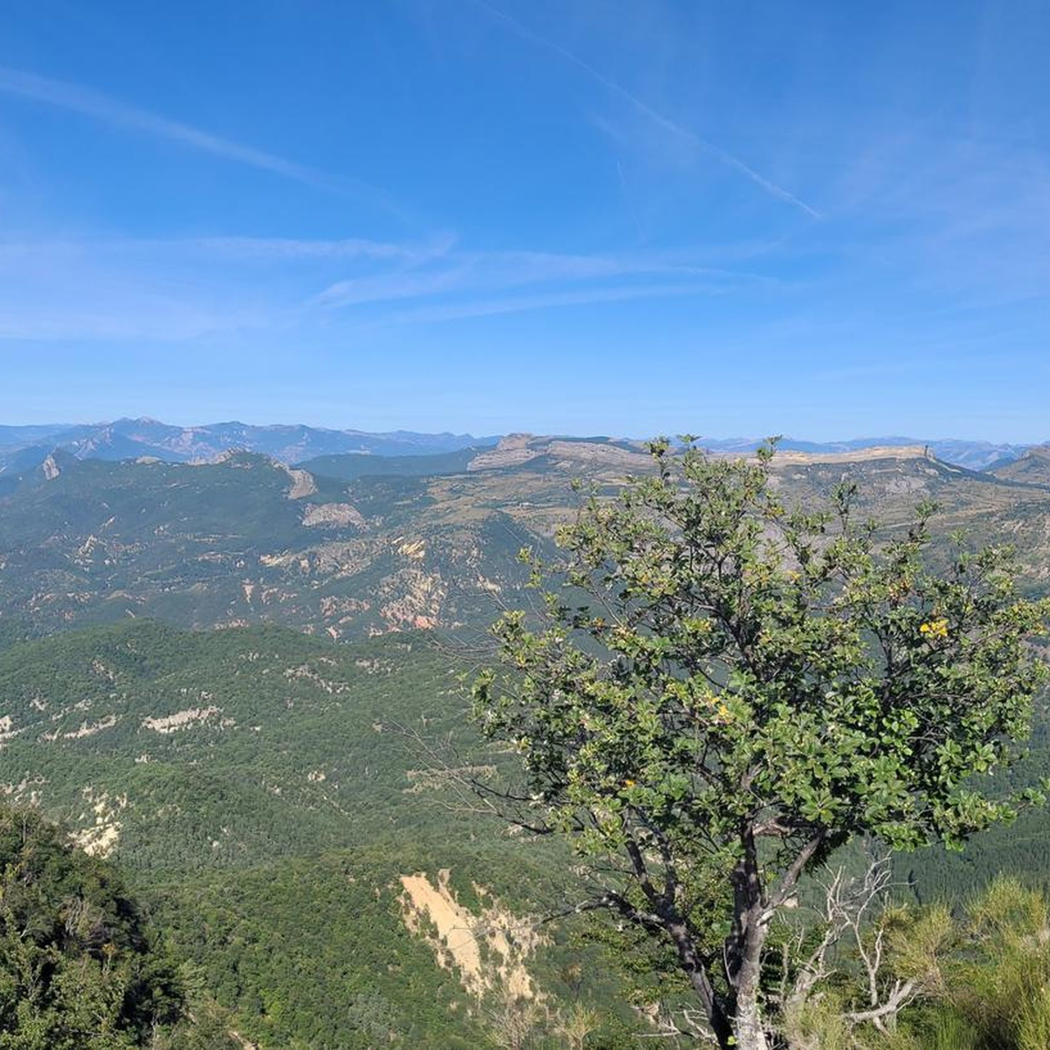
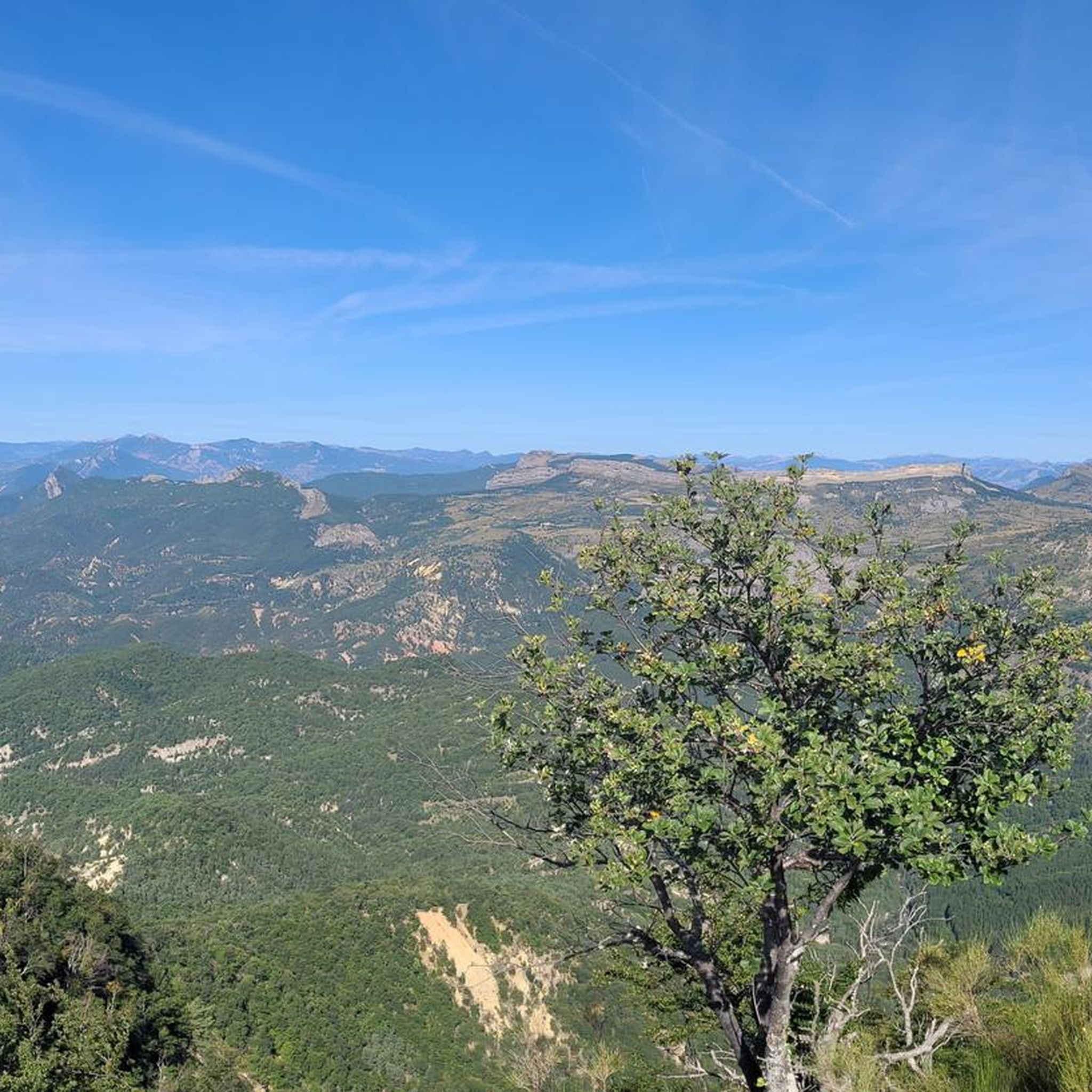
From Sisteron, the Col de Fontbelle is 26.3 kilometers of climbs with segments at 6 or 7%, and others between 1.5 and 5%. In your ascent, passing the intermediate Mézien pass after the 6th kilometer tells you that you have made the first part complicated and that you are starting the second part, long but less steep. On the open parts of the pass, you can see the mountain of Gueruen and the mountain of Mélan and its Grande Aiguille.
2
0


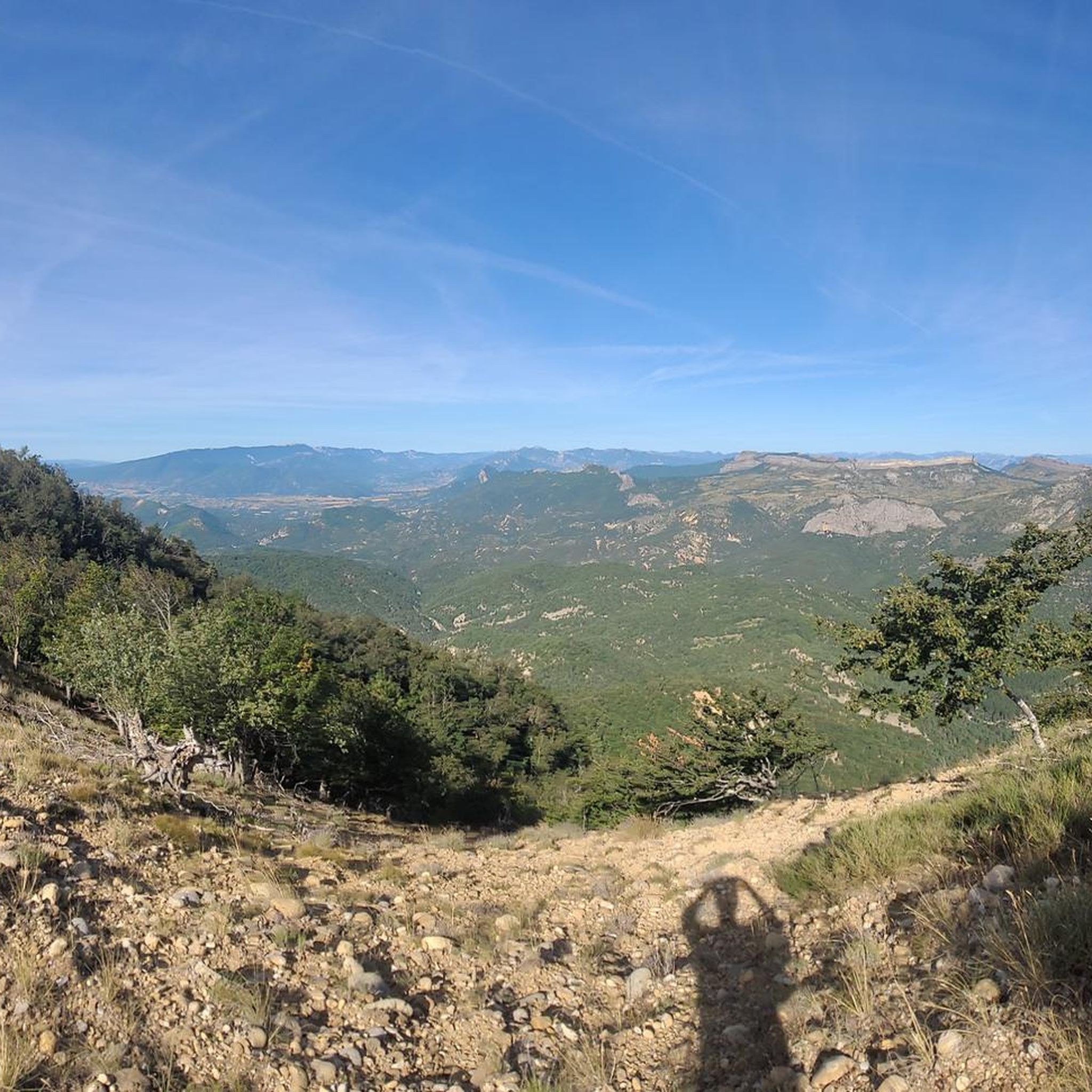
The Col de Fontbelle culminates at 1304m. From the village of Thoard it is a climb of almost 13km which comes in two parts. The first is the most difficult with sustained percentages over almost 9 km including 3 at more than 8% on average which will take you to the hamlet of Mélan then the intermediate pass of Hyssop (1236m) where moreover an exceptional panorama will offer to you (we don't make an effort for nothing anyway). The second part is relatively simple with lower percentages, barely 2.5 km at 3% average which joins the col de Fontbelle located in the forest in a VERY isolated way
3
0

In this tiny little chapel you will be surprised to find one of Andy Goldsworthy's works. One of the most recognized artists in the field of Land-Art.
1
0

The Col de Fontbelle from Sisteron is 25km long with an average gradient of 3%.
4
0


In the alleys of the medieval village, the high stone houses, the low doors and the covered passages give an impression of intimacy and protection. The imposing gray stone church and the almost overwhelmingly high bell tower (12th century) make an impression.
3
1
Frequently Asked Questions
How many hiking trails are available around Le Castellard-Mélan?
There are over 60 hiking routes in the Le Castellard-Mélan area, catering to various skill levels, from easy strolls to challenging mountain ascents.
Are there easy hiking trails suitable for beginners in Le Castellard-Mélan?
Yes, the region offers 10 easy hiking routes. These typically feature less elevation gain and shorter distances, perfect for a relaxed outing or those new to hiking.
What options are available for experienced hikers seeking a challenge?
For advanced hikers, there are 18 difficult routes. These often involve significant elevation changes and longer distances, such as the Trans-Provence 2011 Stage 4 loop from Authon, which covers 12.5 miles (20.1 km) with over 770 meters of ascent.
Can I find circular hiking routes around Le Castellard-Mélan?
Yes, many of the trails in the area are designed as loops, allowing you to start and end at the same point. An example is the Fontbelle Pass – Géruen Summit loop from Col de Fontbelle, offering expansive views.
Are there any family-friendly hiking trails in the area?
While specific 'family-friendly' designations aren't always explicit, the 10 easy routes are generally suitable for families. Look for shorter distances and minimal elevation gain for a comfortable experience with children.
What are the best times of year to go hiking in Le Castellard-Mélan?
The spring and autumn months generally offer the most pleasant hiking conditions with mild temperatures and vibrant scenery. Summer can be warm, especially at lower elevations, while winter hiking is possible but may require appropriate gear for snow and ice, particularly at higher altitudes.
Are there any notable viewpoints or scenic spots along the trails?
The region is characterized by elevated areas and mountain passes, offering numerous viewpoints. The Coste Belle Summit and La Bigue are examples of peaks that provide panoramic vistas of the surrounding landscape.
What kind of natural attractions or landmarks can I explore while hiking?
Beyond the trails themselves, you can discover natural features like the Clue de Barles, a dramatic canyon. Some routes also pass by interesting geological formations or caves, such as the area near the Saint Vincent Cave.
What do other hikers enjoy most about hiking in Le Castellard-Mélan?
The area is highly rated by the komoot community, with an average score of 4.6 stars from over 200 reviews. Hikers often praise the varied terrain, the challenging ascents leading to rewarding views, and the sense of immersion in the natural environment of the Alpes-de-Haute-Provence.
Are there any cultural or historical points of interest near the hiking routes?
Yes, the charming village of Thoard is a notable point of interest, and routes like the Chapelle Sainte-Madeleine – Thoard loop from Thoard offer a chance to explore local heritage alongside your hike.
What should I pack for a hike in Le Castellard-Mélan?
Given the varied terrain and potential for significant elevation changes, it's advisable to pack layers of clothing, sturdy hiking boots, sufficient water, snacks, and sun protection. For longer or more challenging routes, a map, compass or GPS device, and a first-aid kit are also recommended.
Most popular routes around Le Castellard-Mélan
Most popular attractions around Le Castellard-Mélan

Get inspired with the komoot mobile app


Explore more
Browse the best Hikes in other regions.
