The best walks and hikes around Favresse
4.1
(55)
212
hikers
50
hikes
Hiking around Favresse offers routes through a landscape characterized by gentle hills and river valleys, typical of the Marne department in France. The terrain features modest elevation changes, with the highest point on recorded routes reaching approximately 560 feet (170 meters) of ascent. This region provides opportunities for walks across open countryside and through local villages.
Best hiking trails around Favresse
- The most popular hiking route is Mont de Fourche – Boulangerie loop from Vitry-en-Perthois, a 7.3 miles (11.8…
Last updated: October 12, 2026
4.0
(1)
12
hikers
11.8km
03:13
170m
170m
Moderate hike. Good fitness required. Easily-accessible paths. Suitable for all skill levels.
3.8
(5)
7
hikers
Moderate hike. Good fitness required. Easily-accessible paths. Suitable for all skill levels.

3
hikers
6.37km
01:37
10m
10m
Easy hike. Great for any fitness level. Easily-accessible paths. Suitable for all skill levels.
4.0
(1)
3
hikers
8.87km
02:24
120m
120m
Moderate hike. Good fitness required. Easily-accessible paths. Suitable for all skill levels.
2
hikers
5.78km
01:28
10m
10m
Easy hike. Great for any fitness level. Easily-accessible paths. Suitable for all skill levels.
Get access to more routes and recommendations from other explorers.
Already have an account?
Our route recommendations are based on thousands of hikes, rides, and runs completed by other people on komoot.
Start today with a free account
Your next adventure awaits.



Tips from the Community

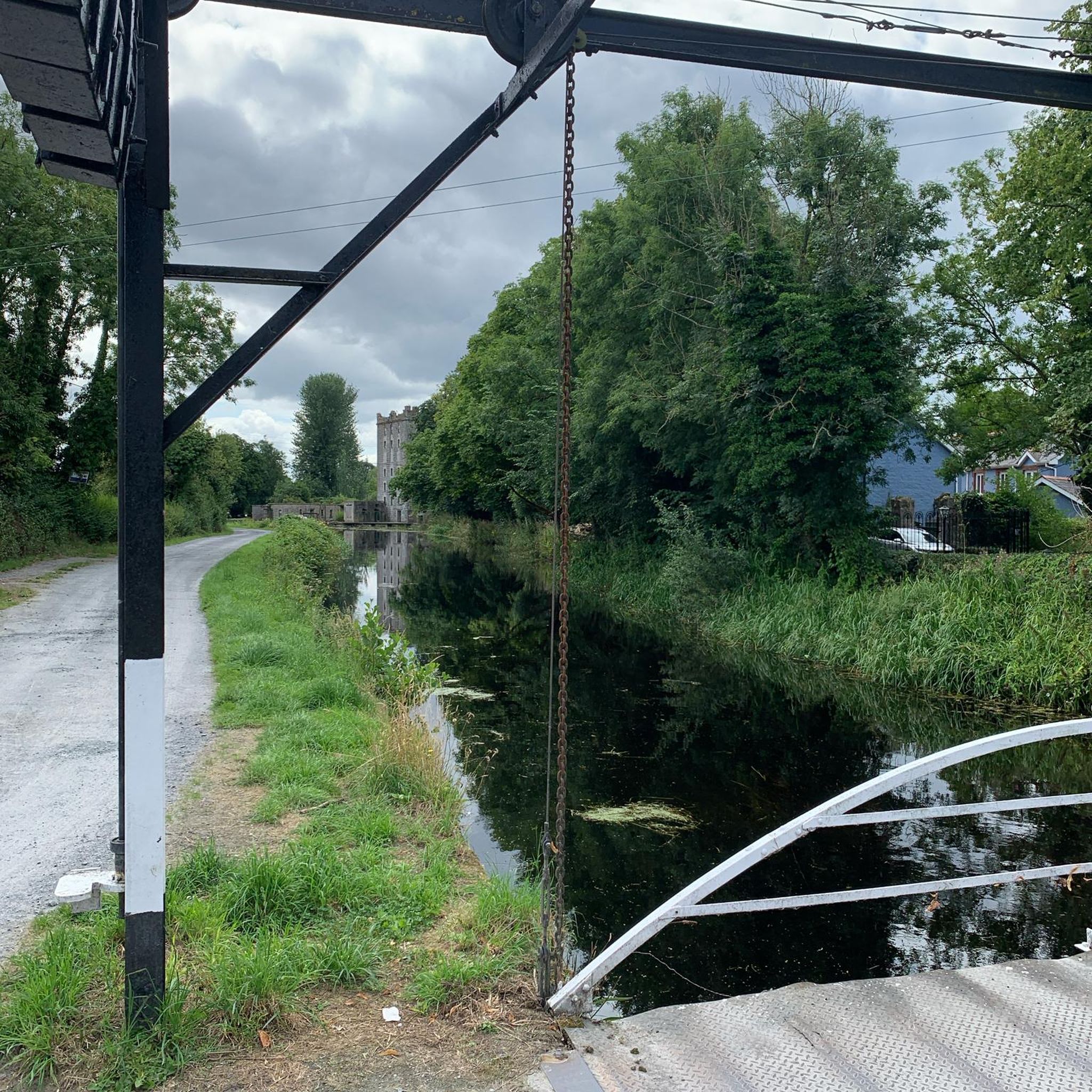
Great greenway along the canal with many spots for picnics and shaded breaks. The canal retains very natural banks, making cycling particularly pleasant.
0
0

The Collegiale Notre-Dame-de-l’Assomption is a former collegiate church in Vitry-le-François, in the Marne department, in France. It is a 17th-century Baroque church with beautiful 18th-century monuments. It is the main church of the town and a historical monument. The church has a rich furnishings, including a large organ, a master altar, a pulpit and a painting by Frère Luc. The church also has a striking bell tower, a Gothic choir, a Renaissance portal and a Baroque altar.
7
1
The town hall is located on the site of a 17th-century Recollects monastery, founded by the Bishop of Châlons-en-Champagne. After being largely destroyed during the Second World War, it was rebuilt according to 19th-century plans. The beautiful garden features the facade of the former chapel of the Collège des garçons, which burned down in 1940, and the Adam and Eve group by sculptor Alphonse Terroir, a gift from the City of Paris.
7
0

We would love to see the stars of Europe more often!
3
0

The town hall of Vitry-le-François offers a beautiful view in the evening.
3
0
Easy to drive, but also a little monotonous…
2
0
Nice, very straight track with good surface!
3
0

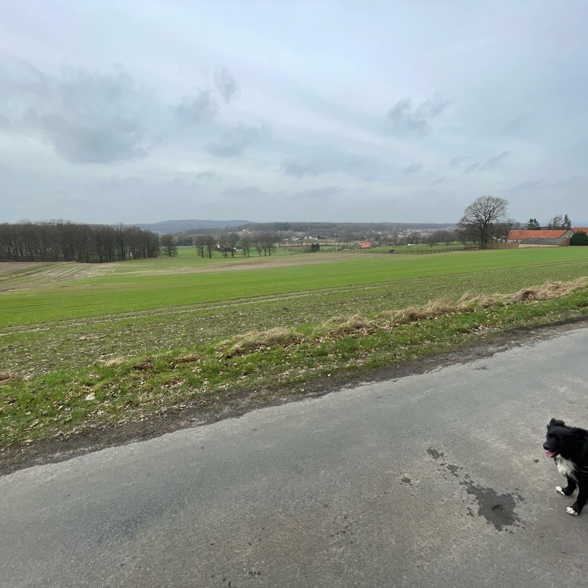
Mont de Fourche peaks at 208 meters and offers an extensive panorama of the surrounding plains. Access by path presents no difficulty.
1
0
Frequently Asked Questions
How many hiking trails are available around Favresse?
There are nearly 50 hiking routes available around Favresse. These trails offer a variety of experiences across the region's gentle hills and river valleys.
What kind of terrain and difficulty can I expect on hikes around Favresse?
Hikes around Favresse are characterized by gentle hills, river valleys, and open countryside. The terrain generally features modest elevation changes, with the highest point on recorded routes reaching approximately 560 feet (170 meters) of ascent. Most routes are classified as easy (32 trails) or moderate (16 trails), with a single difficult option for experienced hikers.
Are there many circular hiking routes in Favresse?
Yes, many of the hiking routes around Favresse are designed as circular loops, allowing you to start and end at the same point. For example, the Mont de Fourche – Boulangerie loop from Vitry-en-Perthois is a popular moderate option, and the Mount de Fourche – Mont de Fourche loop from Vitry-en-Perthois offers an easier circular walk.
What do other hikers enjoy the most about hiking in Favresse?
The hiking experience in Favresse is highly rated by the komoot community, with an average score of 4.1 stars from over 30 reviews. Hikers often appreciate the varied terrain, which includes gentle hills, river valleys, and open countryside, providing pleasant walks through local landscapes and villages.
Are there any family-friendly hiking options in Favresse?
Yes, Favresse offers several easy routes suitable for families. The Mount de Fourche – Mont de Fourche loop from Vitry-en-Perthois is an easy 2.7-mile (4.3 km) path with minimal elevation gain, perfect for a gentle family walk. Many of the 32 easy trails in the region are also suitable for families looking for a relaxed outing.
What interesting places can I see along the hiking trails around Favresse?
While hiking around Favresse, you can explore several points of interest. Notable attractions include the historical Place d'Armes of Vitry-le-François, and the scenic Cycle path along the Canal latéral à la Marne. You might also encounter the Canal aqueduct over the Marne and other features related to the canal system.
Are there any longer or more challenging hikes available?
For those seeking a longer and more challenging experience, the Vitry-le-François Town Hall – Mont Moret Memorial loop from Bignicourt-sur-Marne is a difficult 18.6-mile (29.9 km) route. This trail offers a significant distance for hikers looking for an extended adventure.
What is the typical duration for hikes in this region?
The duration of hikes in Favresse varies depending on the route and your pace. Shorter, easy trails like the Mount de Fourche – Mont de Fourche loop from Vitry-en-Perthois can be completed in about 1 hour 13 minutes. Moderate routes, such as the Mont de Fourche – Boulangerie loop from Vitry-en-Perthois, typically take around 3 hours 12 minutes. Longer trails can extend to several hours.
Can I find hikes that pass through villages or offer amenities like restaurants?
Yes, some routes in Favresse lead through local villages and offer opportunities to find amenities. The Bar-restaurant with terrace – Between the Chée and the Ornain loop from Étrepy is a 10.0-mile (16.2 km) trail that specifically highlights a bar-restaurant, suggesting options for refreshments along the way.
What are the general characteristics of the landscape around Favresse?
The landscape around Favresse is defined by its gentle hills, picturesque river valleys, and expansive open countryside. It offers a tranquil setting for hiking, with routes often traversing agricultural fields and passing through charming local villages, typical of the Marne department in France.
Are there any easy, shorter walks available?
Absolutely. For an easy and shorter walk, consider the Hiking loop from Vitry-le-François. This trail is approximately 2.7 miles (4.4 km) long and can be completed in about 1 hour 6 minutes, offering a gentle experience with minimal elevation changes.
Most popular attractions around Favresse

Get inspired with the komoot mobile app


Explore more
Browse the best Hikes in other regions.
