The best walks and hikes around Saint-Lumier-En-Champagne
4.2
(41)
206
hikers
70
hikes
Hiking around Saint-Lumier-En-Champagne offers exploration of the Marne department's characteristic Champagne landscapes. The terrain is primarily defined by rolling hills covered in vineyards, particularly Chardonnay and Pinot Noir grape cultivation, which are part of the Vitryat vineyards. Some routes also extend into wooded areas, providing varied ecosystems for hikers. The region's topography includes gentle slopes and valleys, offering diverse walking experiences.
Best hiking trails around Saint-Lumier-En-Champagne
- The most popular hiking route is Mont de Fourche – Boulangerie loop from Vitry-en-Perthois…
Last updated: July 9, 2026
4.0
(1)
12
hikers
11.8km
03:13
170m
170m
Moderate hike. Good fitness required. Easily-accessible paths. Suitable for all skill levels.
5.0
(2)
17
hikers
6.39km
01:45
100m
100m
Easy hike. Great for any fitness level. Easily-accessible paths. Suitable for all skill levels.

Sign up for free
6
hikers
23.0km
06:05
220m
220m
Hard hike. Very good fitness required. Easily-accessible paths. Suitable for all skill levels.
4.0
(2)
7
hikers
13.1km
03:28
130m
130m
Moderate hike. Good fitness required. Easily-accessible paths. Suitable for all skill levels.
6
hikers
9.85km
02:42
150m
150m
Moderate hike. Good fitness required. Easily-accessible paths. Suitable for all skill levels.
Get access to more routes and recommendations from other explorers.
Sign up for free
Already have an account?
Our route recommendations are based on thousands of hikes, rides, and runs completed by other people on komoot.
Start today with a free account
Your next adventure awaits.
Login or Signup


Tips from the Community

The Collegiale Notre-Dame-de-l’Assomption is a former collegiate church in Vitry-le-François, in the Marne department, in France. It is a 17th-century Baroque church with beautiful 18th-century monuments. It is the main church of the town and a historical monument. The church has a rich furnishings, including a large organ, a master altar, a pulpit and a painting by Frère Luc. The church also has a striking bell tower, a Gothic choir, a Renaissance portal and a Baroque altar.
7
1
The town hall is located on the site of a 17th-century Recollects monastery, founded by the Bishop of Châlons-en-Champagne. After being largely destroyed during the Second World War, it was rebuilt according to 19th-century plans. The beautiful garden features the facade of the former chapel of the Collège des garçons, which burned down in 1940, and the Adam and Eve group by sculptor Alphonse Terroir, a gift from the City of Paris.
7
0
The Porte du Pont is a monument in Vitry-le-François, in the Marne department. It is a classical gate built in 1746 in honour of Louis XIV. It was the western entrance to the fortified town of Vitry-le-François. It is the only remnant of the four gates that once formed the town. It was classified as a historical monument in 1920. It was demolished in 1938 and rebuilt in 1982 on its present site, at the northern entrance to the town. It stands as a testament to the history and architecture of Vitry-le-François.
8
0

We would love to see the stars of Europe more often!
3
0

The town hall of Vitry-le-François offers a beautiful view in the evening.
3
0
The church square is the centre of Vitry-le-François. Restaurants and bars can be found nearby.
2
0
Place d'Armes, central square in Vitry, a small town in southern Champagne that is often underestimated. Well connected to the canals.
3
0

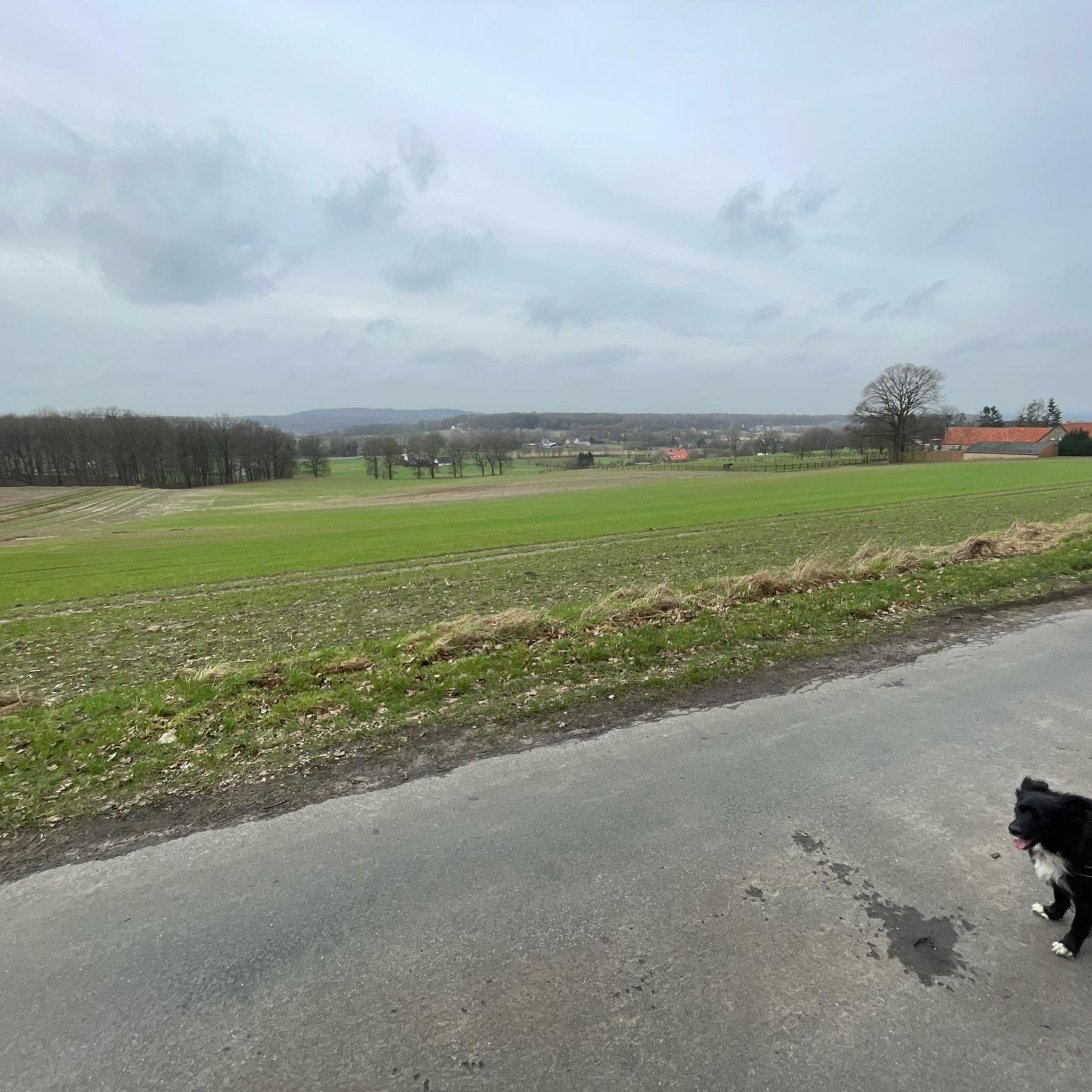
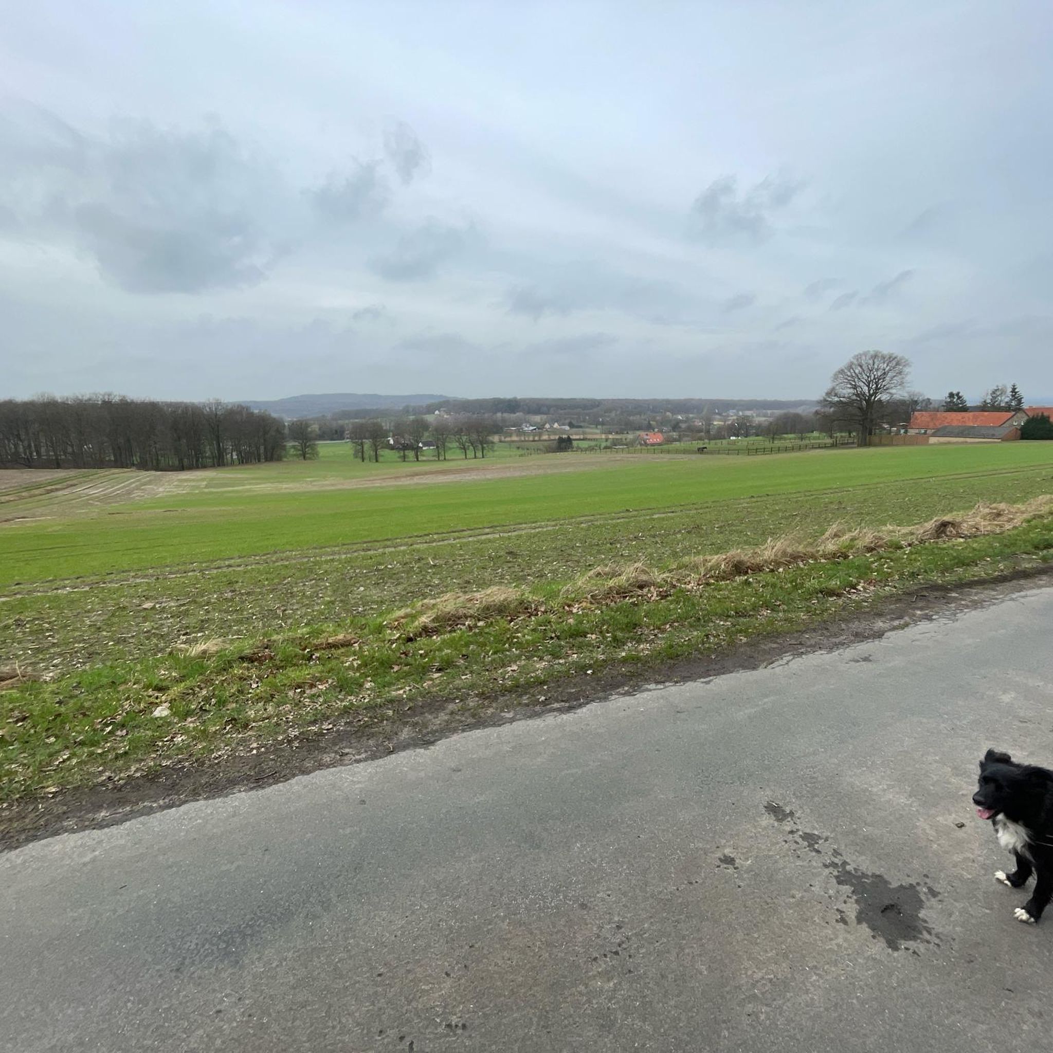
Mont de Fourche peaks at 208 meters and offers an extensive panorama of the surrounding plains. Access by path presents no difficulty.
1
0
Frequently Asked Questions
How many hiking trails are available around Saint-Lumier-en-Champagne?
There are over 50 hiking routes in and around Saint-Lumier-en-Champagne. These trails cater to various skill levels, with 33 easy, 23 moderate, and 1 difficult option.
What kind of terrain can I expect on hikes in Saint-Lumier-en-Champagne?
The terrain around Saint-Lumier-en-Champagne is primarily characterized by rolling hills covered in vineyards, particularly Chardonnay and Pinot Noir grapes. Some routes also extend into wooded areas, offering diverse ecosystems. You'll find gentle slopes and valleys, providing varied walking experiences.
Are there any easy hiking trails suitable for a relaxed walk?
Yes, there are many easy options. For a shorter, accessible walk with vineyard scenery, consider the Mount de Fourche – Mont de Fourche loop from Vitry-en-Perthois, which is 4.3 km long and takes about 1 hour 13 minutes.
What do other hikers say about the trails in Saint-Lumier-en-Champagne?
The hiking routes in Saint-Lumier-en-Champagne are highly rated by the komoot community, with an average score of 4.2 stars from over 30 reviews. Hikers often praise the picturesque vineyard landscapes and the variety of trails available.
Are there any longer or more challenging hikes in the area?
For those seeking a longer challenge, the Mont de Fourche – Vitry-le-François Town Hall loop from La Croix Jean Plu is a difficult 22.6 km trail that leads through vineyard-covered hills and rural landscapes, typically taking around 6 hours to complete.
Can I find circular walking routes in Saint-Lumier-en-Champagne?
Yes, many routes are designed as loops. An example is the Mont de Fourche – Boulangerie loop from Vitry-en-Perthois, a moderate 11.8 km trail offering views across local vineyards.
What are some interesting landmarks or attractions near the hiking trails?
While hiking, you can explore several nearby attractions. Consider visiting the Place d'Armes of Vitry-le-François, or enjoy the Cycle path along the Canal latéral à la Marne. Further afield, you might see the Porte du Pont in Châlons-en-Champagne.
Are there any hikes that follow waterways?
Yes, you can find routes that incorporate local waterways. The Walk along the Marne loop from Loisy-sur-Marne is a moderate 8.8 km trail that follows the Marne, offering a different scenic experience.
What is the best time of year to go hiking in Saint-Lumier-en-Champagne?
The Champagne region, including Saint-Lumier-en-Champagne, is beautiful for hiking from spring through autumn. Spring offers blooming vineyards, summer provides warm weather for walks, and autumn showcases stunning fall foliage among the vines. Some forest paths might become swampy after heavy rain, so checking conditions is advisable.
Are the trails suitable for families with children?
Many of the 33 easy trails are suitable for families, offering gentler slopes and shorter distances. These routes provide a great way to experience the vineyard landscapes with children.
Is it possible to combine hiking with Champagne tasting?
Absolutely! Saint-Lumier-en-Champagne is located within the renowned Champagne wine region. Many hiking trails traverse picturesque vineyards, and you can combine your walks with visits to local Champagne houses in the village or nearby, adding a cultural dimension to your outdoor excursion.
What are the typical elevation changes on hikes in this area?
Hikes in Saint-Lumier-en-Champagne generally feature moderate elevation changes, reflecting the rolling hills and valleys of the Champagne region. For example, a moderate route like the Mont de Fourche loop from Couvrot has an elevation gain of about 130 meters over 13 kilometers.
Most popular routes around Saint-Lumier-En-Champagne
Most popular attractions around Saint-Lumier-En-Champagne

Get inspired with the komoot mobile app


Explore more
Browse the best Hikes in other regions.
