The best mountain hikes around Martinroda
8
hikers
3
hikes
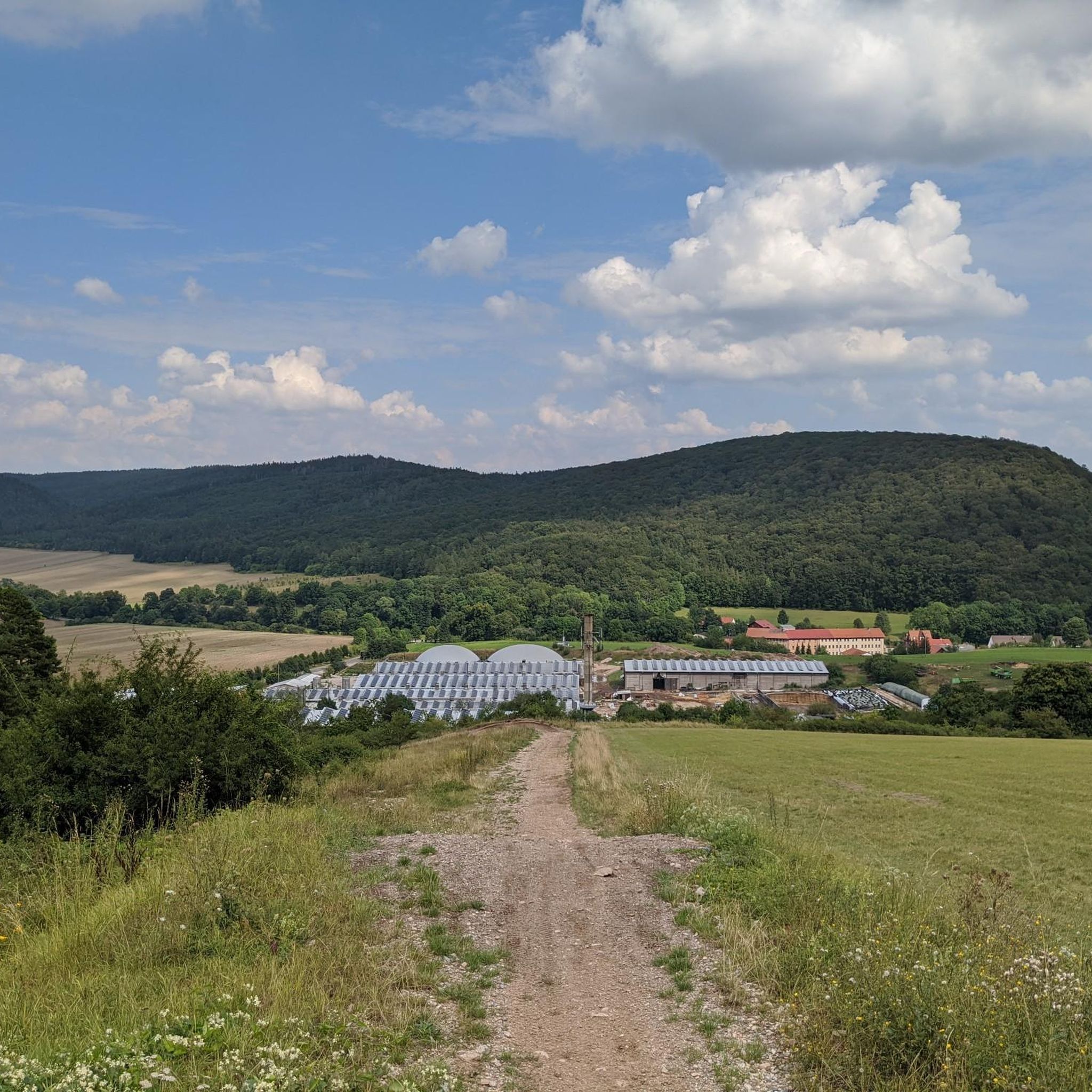
Mountaineering routes around Martinroda are situated on the edge of the Thuringian Forest, a low mountain range characterized by extensive woodlands and varied topography. The region offers a diverse landscape of hills and valleys, including the scenic Wipfratal Valley. While not high-alpine, the terrain features elevation gains up to 530 meters, providing challenging routes that require sure-footedness. Natural features like the Kammerlöcher Rock Formations and access to the historic Rennsteig trail define the area's outdoor appeal.
Best mountaineering routes around…
Last updated: June 24, 2026
3
hikers
Moderate mountaineering route. Good fitness required. Mostly accessible paths. Sure-footedness required.
2
hikers
11.2km
03:31
430m
430m
Moderate mountaineering route. Good fitness required. Easily-accessible paths. Suitable for all skill levels.

Sign up for free
2
hikers
10.5km
03:16
400m
400m
Moderate mountaineering route. Good fitness required. Easily-accessible paths. Suitable for all skill levels.
1
hikers
16.2km
04:48
480m
480m
Moderate mountaineering route. Good fitness required. Easily-accessible paths. Suitable for all skill levels.
Our route recommendations are based on thousands of hikes, rides, and runs completed by other people on komoot.
Start today with a free account
Your next adventure awaits.
Login or Signup
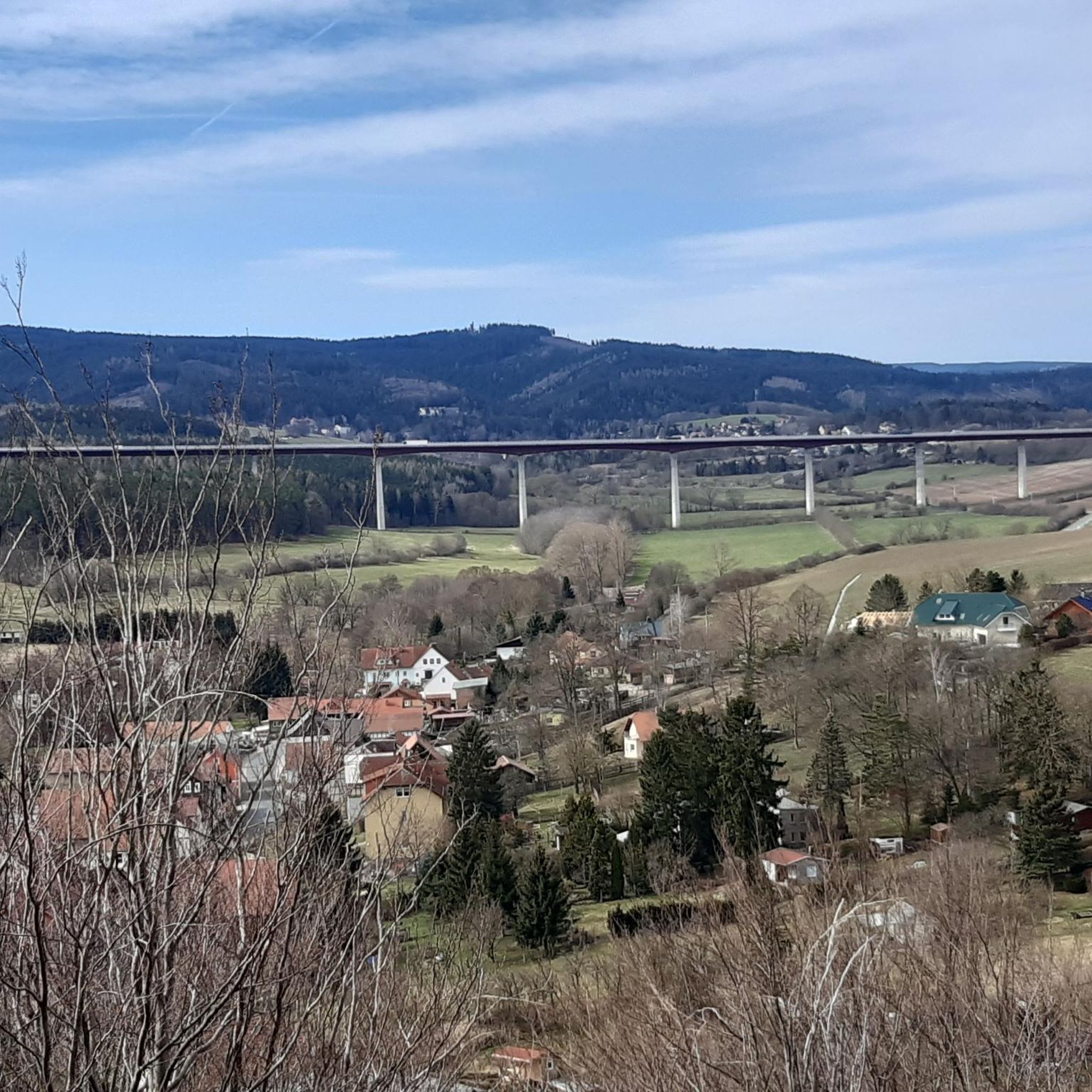
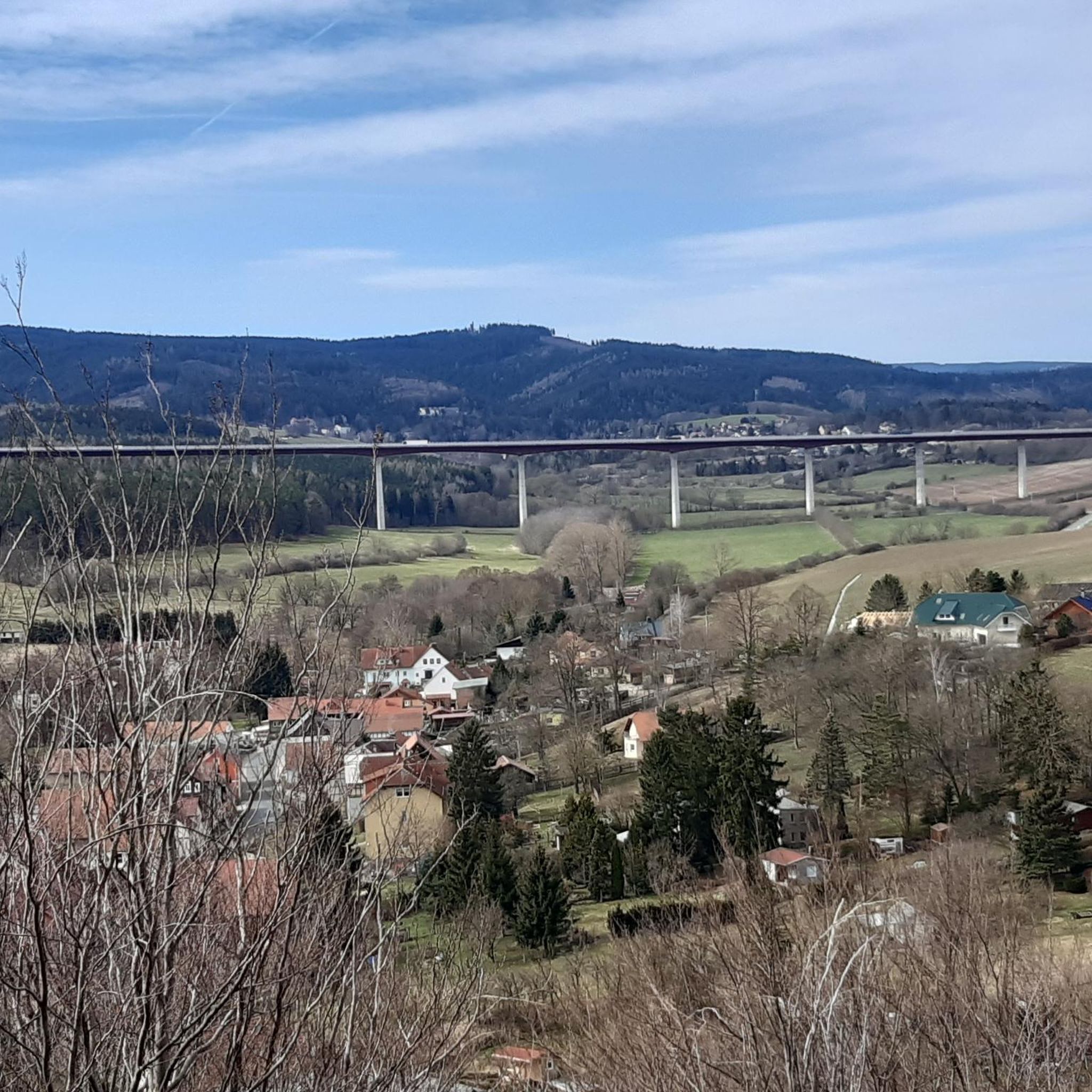
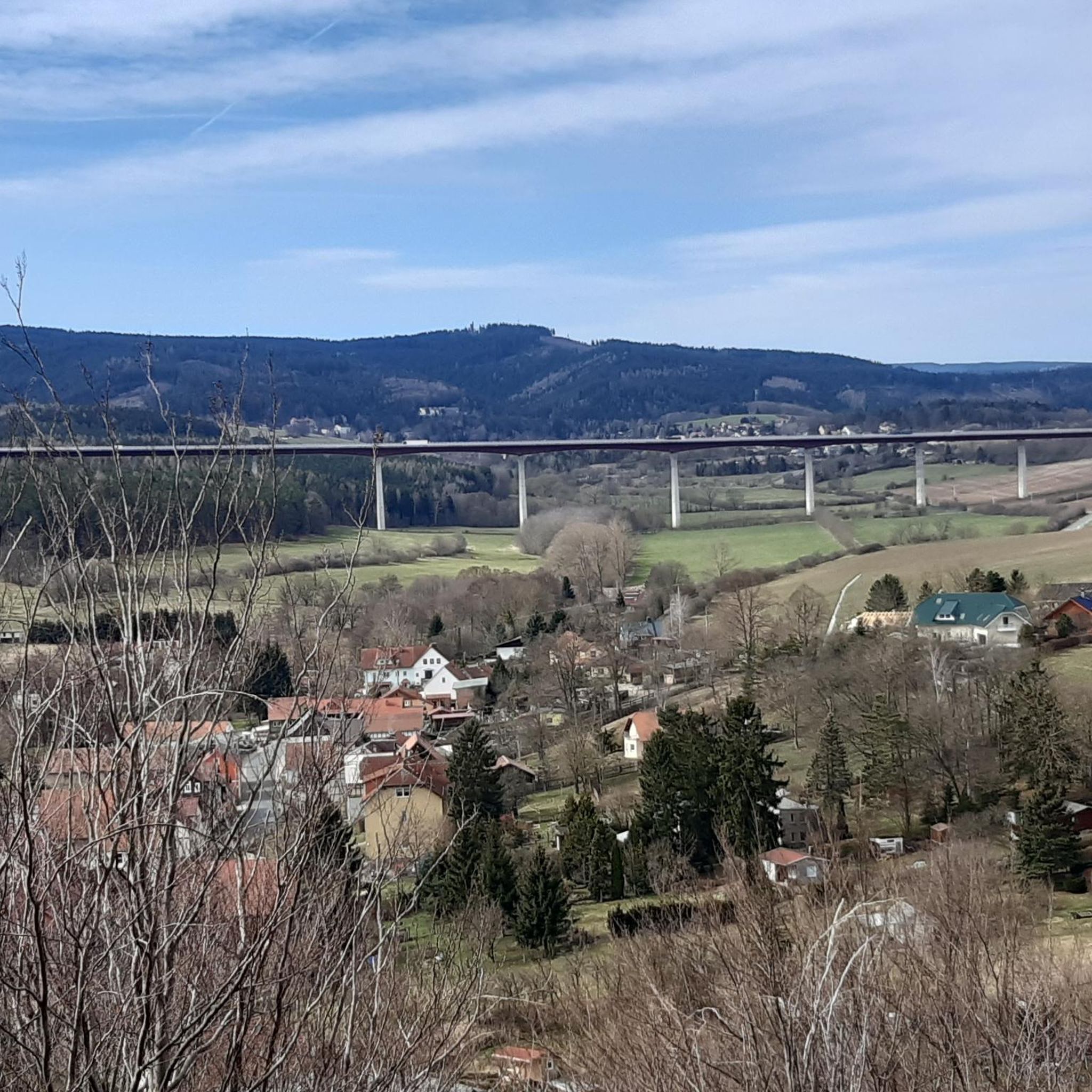
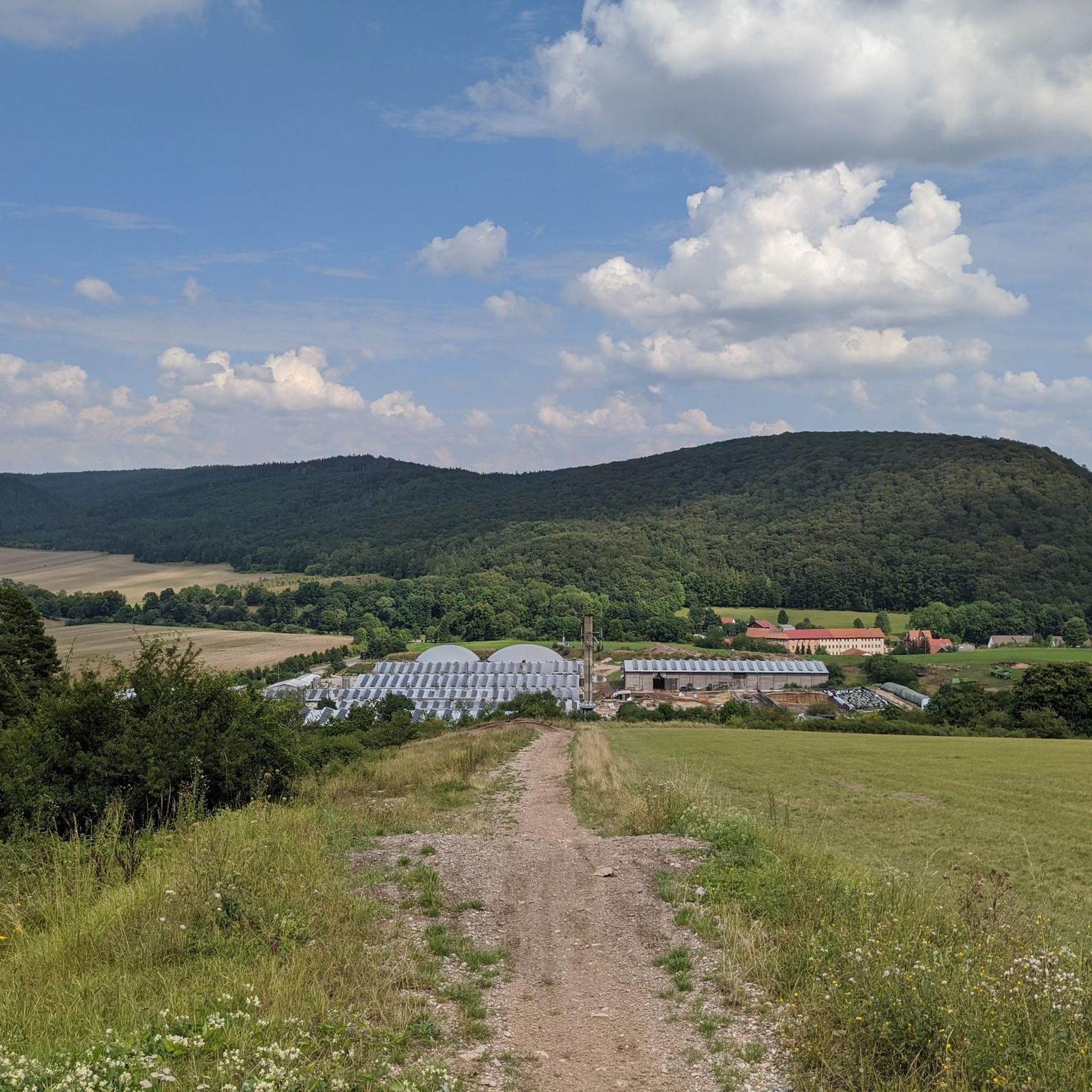
Tips from the Community

September 25... Unfortunately still closed.
0
0

Downhill trail from Kickelhahn (861 m) to Großer Hermannstein (761 m).
1
0

The Neue Gehlberger Hütte is located on the 978-meter-high Schneekopf mountain and is the highest-altitude serviced hut in Thuringia. It offers a cozy hiking hostel with shared rooms and a restaurant serving traditional Thuringian cuisine. Opening Hours: The restaurant is open daily from 10 a.m. to 5 p.m. – longer in summer. Breakfast for guests is served from 8 a.m. to 10 a.m.
2
0

Even if the ascent is not possible in winter, the view from below also offers a good outlook and comfortable benches for a break
1
0

The simple late baroque functional building was hastily erected in the summer of 1783 to serve as a guest house for Karl August and his hunting party. Building materials were obtained from the ruins of Ilmenau Castle and the surrounding forest. Goethe often spent time here as a guest. The museum's exhibition is well worth seeing because it offers insights into the hunting habits and social life of the Weimar court. You can find further information and opening times here: https://www.ilmenau.de/de/freizeit/museen-und-börsen/museum-jagdhaus-gabelbach/.
5
0

Open it would have been even nicer, start of the IXS descent
0
0

That was my educational moment on this tour - the Ilm begins at the junction of several streams and has no source of its own.
1
0

Explorer of the Thuringian Forest. In 1829 he undertook the first continuous hike along the Rennsteig.
21
0
Frequently Asked Questions
What kind of terrain can I expect on mountaineering routes around Martinroda?
The mountaineering routes around Martinroda are primarily situated within the Thuringian Forest, a low mountain range. You'll encounter a diverse landscape of hills and valleys, including the scenic Wipfratal Valley. While not high-alpine, the terrain features significant elevation gains, with some routes climbing up to 530 meters, requiring good fitness and sure-footedness.
Are there any circular mountaineering routes available near Martinroda?
Yes, several routes offer a circular experience. For instance, you can explore the Highest Point of the Rennsteig – Schmücke Lodge and Beer Garden loop from Kernzone Schneekopfmoor, which is a moderate 8.8 km trail. Another option is the Kickelhahn Tower – Kickelhahn Observation Tower loop from Ilmenau, a 11.1 km path with panoramic views.
What are some notable natural features or landmarks I might encounter on these routes?
The region is rich in natural beauty. You can expect to see the expansive Thuringian Forest, scenic views of the Wipfratal Valley, and distinctive rock formations like the Kammerlöcher. Many routes also offer access to the historic Rennsteig trail, and viewpoints such as the Karolinenblick provide beautiful vistas of the forest and Martinroda.
How long do the mountaineering routes typically take to complete?
The duration varies depending on the route and your pace. For example, the Highest Point of the Rennsteig – Schmücke Lodge and Beer Garden loop typically takes around 2 hours and 30 minutes. Longer routes, such as the Kickelhahn Observation Tower – Kickelhahn Tower loop from Manebach, can take approximately 4 hours and 48 minutes to complete.
What is the general difficulty level of mountaineering routes in this area?
The mountaineering routes highlighted in this guide are generally rated as moderate. While they don't involve technical climbing, they often feature significant elevation gains and require good basic fitness and sure-footedness, especially on varied terrain within the forested low mountains.
Are there any observation towers or viewpoints on the routes?
Yes, several routes lead to prominent viewpoints. The Kickelhahn Tower – Kickelhahn Observation Tower loop from Ilmenau, for instance, takes you to a well-known observation tower offering panoramic views of the surrounding Thuringian Forest.
What do other mountaineers enjoy most about the routes around Martinroda?
Komoot users appreciate the varied terrain and the opportunity to explore the Thuringian Forest. Many enjoy the challenging aspects of the routes, such as the elevation gains, and the scenic beauty of the low mountain range. The accessibility to the historic Rennsteig trail is also a frequently praised feature.
Are there any lakes or water features near the mountaineering trails?
While the routes themselves are primarily in forested areas, there are several beautiful lakes and reservoirs nearby that you might want to explore. Notable examples include the Lütsche Dam, Heyda Reservoir, and Upper Sieglitz Pond.
What is the best time of year for mountaineering in Martinroda?
The Thuringian Forest offers appealing conditions for mountaineering throughout much of the year. Spring and autumn provide pleasant temperatures and vibrant foliage, while summer allows for longer daylight hours. Even in winter, with appropriate gear, some trails can be enjoyed, though conditions may require more caution.
Are there any other outdoor activities or attractions close to the mountaineering routes?
Beyond mountaineering, the region offers other outdoor pursuits. For example, there are bike parks nearby, including highlights like Oberhof and the Mountain Bike Park. You can also find various trails like the Roda Forest Trail for different types of exploration.
How many mountaineering routes are covered in this guide for Martinroda?
This guide features 3 distinct mountaineering routes around Martinroda, all of which are rated as moderate and showcase the best of the region's landscape.
Most popular routes around Martinroda
Most popular attractions around Martinroda

Get inspired with the komoot mobile app


Explore more
Browse the best Mountain Hikes & Routes in other regions.
