The best running trails around Pourcieux
4.3
(112)
2,980
runners
289
runs
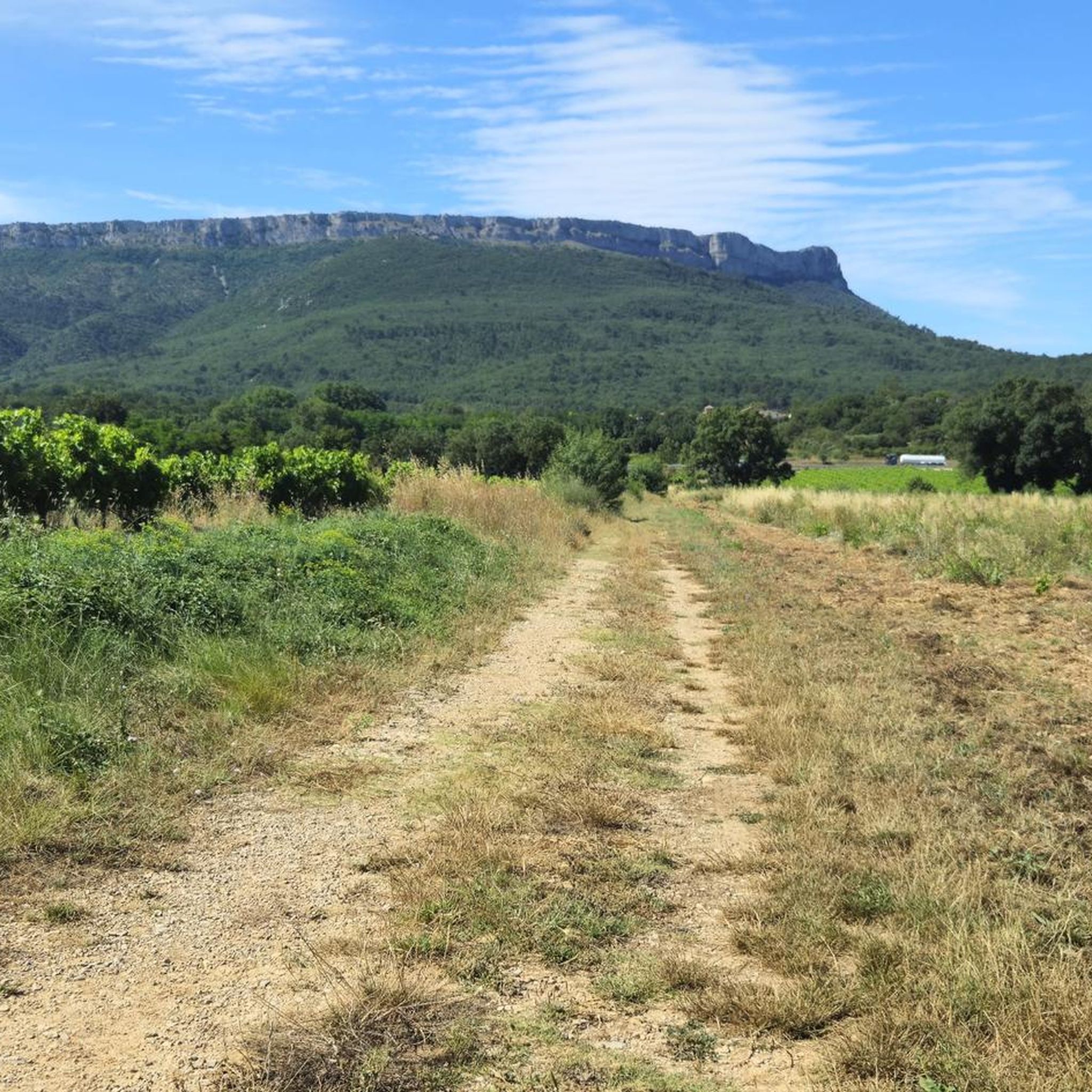
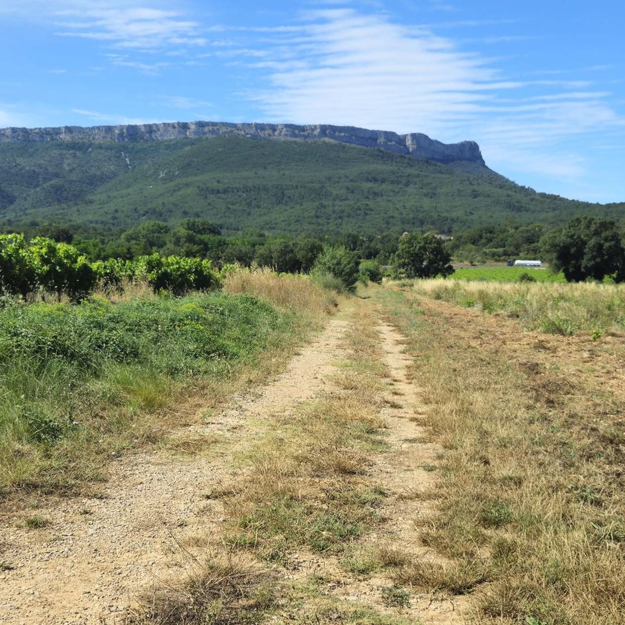
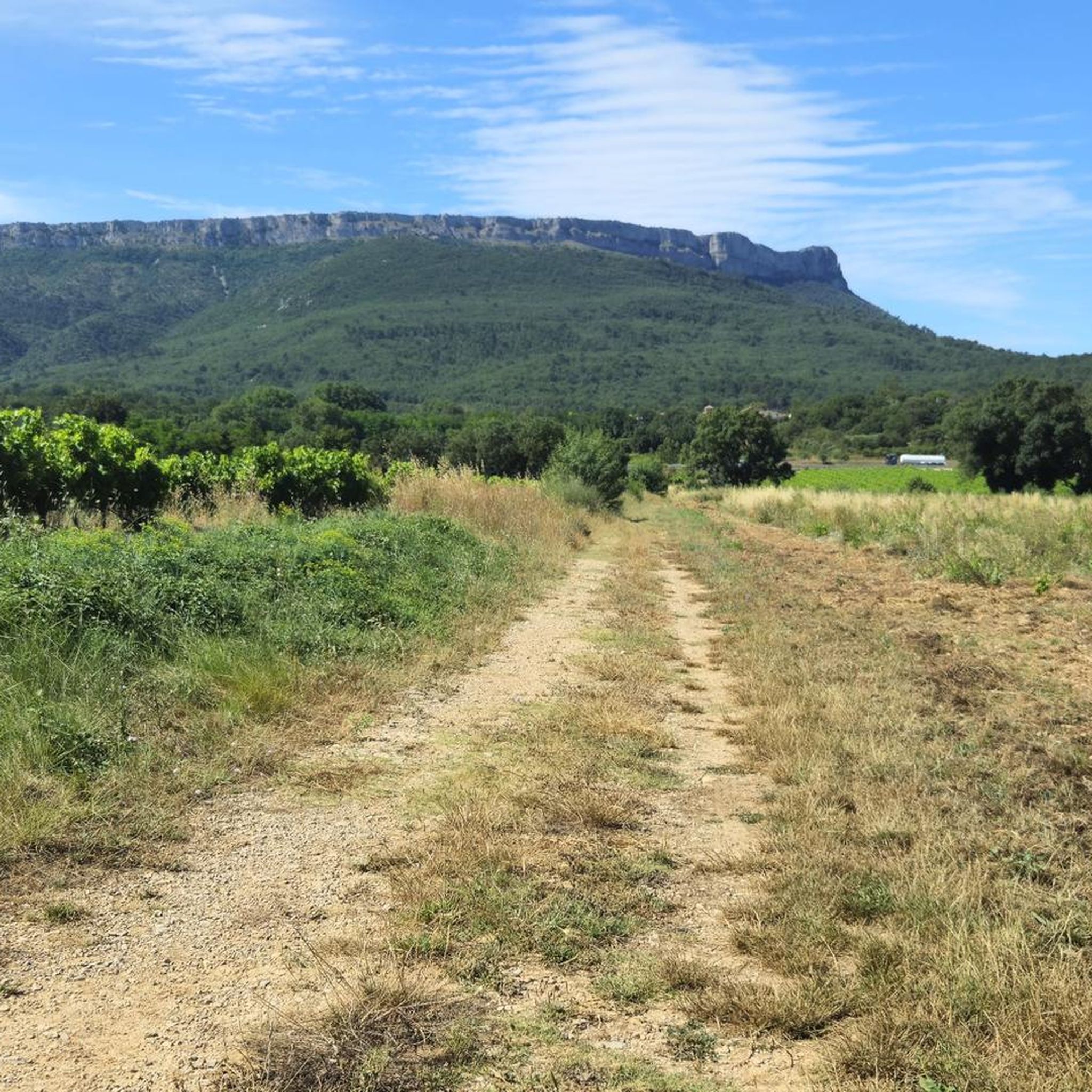
Jogging around Pourcieux offers diverse routes through the picturesque Provence Verte region, characterized by rolling hills and extensive vineyards. The area is situated near Mont Aurélien and the Sainte-Baume massif, providing a varied terrain for runners. These natural features contribute to a tranquil and scenic environment for exploring the region on foot.
Best jogging routes around Pourcieux
- The most popular jogging route is Mount Aurélien loop from Pourcieux, a 13.1 miles (21.1 km) trail that takes 3 hours 9…
Last updated: October 8, 2026
24
runners
21.1km
03:10
970m
970m
Hard run. Very good fitness required. Sure-footedness, sturdy shoes and alpine experience required.
17
runners
16.9km
02:30
600m
600m
Hard run. Very good fitness required. Sure-footedness, sturdy shoes and alpine experience required.

6
runners
11.4km
01:12
100m
100m
Moderate run. Good fitness required. Mostly paved surfaces. Suitable for all skill levels.
7
runners
7.15km
00:46
80m
80m
Moderate run. Good fitness required. Mostly paved surfaces. Suitable for all skill levels.
4
runners
Moderate run. Good fitness required. Mostly paved surfaces. Suitable for all skill levels.
Get access to more routes and recommendations from other explorers.
Already have an account?
Our route recommendations are based on thousands of hikes, rides, and runs completed by other people on komoot.
Start today with a free account
Your next adventure awaits.

Frequently Asked Questions
How many running trails are available around Pourcieux?
Pourcieux offers a wide variety of running routes, with over 280 trails available. These range from easy strolls to challenging long-distance runs, catering to all fitness levels.
What do other runners think about the trails in Pourcieux?
The running routes in Pourcieux are highly regarded by the komoot community, boasting an average rating of 4.4 stars from over 90 reviews. More than 2,800 runners have explored the diverse terrain, often praising the scenic vineyards and views of the Sainte-Baume massif.
Are there easy jogging routes for beginners in Pourcieux?
Yes, Pourcieux has several easy jogging routes suitable for beginners. There are 14 routes classified as easy, offering gentle terrain through the picturesque landscapes. A good option for a moderate run is the Running loop from Ollières, which is 3.5 miles (5.6 km) long.
Are there challenging long-distance running trails in Pourcieux?
Absolutely. For those seeking a challenge, Pourcieux features 98 difficult running routes. One notable long-distance option is the Mount Aurélien loop from Pourcieux, a demanding 13.1 miles (21.1 km) trail with significant elevation gain around the mountain.
Are there any circular jogging routes in Pourcieux?
Many of the running routes in Pourcieux are designed as loops, allowing you to start and finish in the same location. For example, the Château de Pourcieux loop from Pourcieux is a popular 6.1 miles (9.8 km) circular trail that takes you through local landscapes and past the historic Château.
What are the most scenic jogging trails in Pourcieux?
The region around Pourcieux is renowned for its scenic beauty. Many routes offer stunning views of the Sainte-Baume massif and Mont Aurélien, winding through vineyards and rolling hills. The Mont Aurelien part 1 – Mont Aurélien - Pillar loop from Pourcieux provides excellent vistas as it explores a section of Mont Aurélien.
Are there any unique running experiences near Pourcieux?
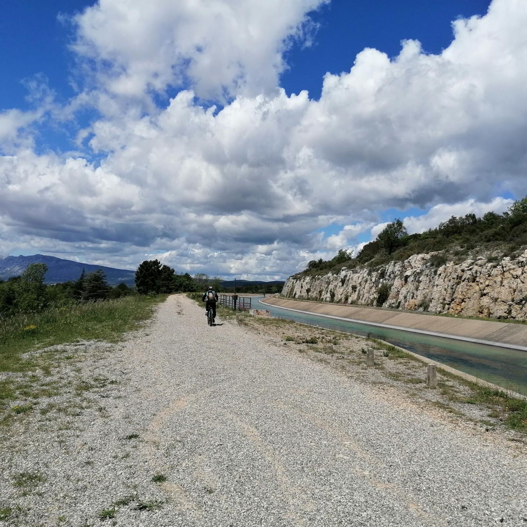
Yes, for a truly unique experience, consider the Vélorail Sainte Baume. This 15-kilometer (round trip) former railway line, connecting Pourcieux to Saint-Maximin, offers a smooth path that traverses viaducts with striking views of the Sainte-Baume massif and the plain of Saint-Maximin. While primarily for bikes, it can be adapted for an enjoyable run.
What kind of natural landmarks can I see along the running routes?
The running routes around Pourcieux are rich with natural beauty. You can encounter highlights such as the View of the Sainte-Baume Massif, the Source of the Huveaune, and various mountain peaks like Mount Olympe. The region is characterized by its diverse flora and fauna, especially near the Sainte-Baume Massif.
Are there any routes that take me past historical sites or points of interest?
Yes, several routes incorporate local landmarks. The Château de Pourcieux loop from Pourcieux, for instance, leads you directly past the historic Château. The broader region also features the Sainte-Baume Cave Sanctuary, a site of historical and spiritual importance, which can be explored in conjunction with longer runs.
What is the best time of year for jogging in Pourcieux?
The Provence Verte region, where Pourcieux is located, generally offers pleasant conditions for jogging for much of the year. Spring and autumn provide mild temperatures and vibrant landscapes. Summers can be warm, so early morning or late evening runs are often preferred, while winters are typically mild, making it possible to run year-round.
Are there any routes that offer views of the Sainte-Baume Massif?
Many routes in Pourcieux provide stunning views of the Sainte-Baume Massif. The region's topography, with its rolling hills and proximity to the massif, ensures that you'll often have this impressive natural landmark in sight. The Vélorail Sainte Baume, for example, offers striking views of the massif from its elevated path.
Are there running routes that explore Mont Aurélien?
Mont Aurélien is a prominent feature of the landscape around Pourcieux, and several running routes explore its slopes and surroundings. The Summit of Mont Olympe loop from Clos La Neuve is a challenging 8.6 miles (13.8 km) route that takes you up to the summit, offering panoramic views of the area.
Most popular attractions around Pourcieux

Get inspired with the komoot mobile app


Explore more
Browse the best Running Trails & Routes in other regions.
