The best mountain hikes around Ellrich
5.0
(3)
12
hikers
8
hikes
Mountaineering routes around Ellrich are situated at the southern edge of the Harz Mountains in northwestern Thuringia, Germany. The region features diverse scenery, including the Southern Harz Gypsum Karst and dense forests, providing varied terrain for ascents. Notable peaks like Red Shot (505 meters) and Poppenberg (600.6 meters) offer elevated exploration opportunities. This mountainous character supports strenuous hiking and challenging ascents.
Best mountaineering routes around Ellrich
- The most popular mountaineering route is Goose's Beak – Three-valley view (HWN 93) loop…
Last updated: June 26, 2026
5.0
(1)
2
hikers
7.77km
02:38
280m
280m
Hard mountaineering route. Good fitness required. Sure-footedness, sturdy shoes and alpine experience required.
3
hikers
9.36km
02:57
340m
340m
Moderate mountaineering route. Good fitness required. Mostly accessible paths. Sure-footedness required.

Sign up for free
2
hikers
Moderate mountaineering route. Good fitness required. Mostly accessible paths. Sure-footedness required.
1
hikers
12.5km
03:37
250m
250m
Hard mountaineering route. Good fitness required. Sure-footedness, sturdy shoes and alpine experience required.
8.34km
02:34
310m
310m
Moderate mountaineering route. Good fitness required. Easily-accessible paths. Suitable for all skill levels.
Get access to more routes and recommendations from other explorers.
Sign up for free
Already have an account?
Our route recommendations are based on thousands of hikes, rides, and runs completed by other people on komoot.
Start today with a free account
Your next adventure awaits.
Login or Signup

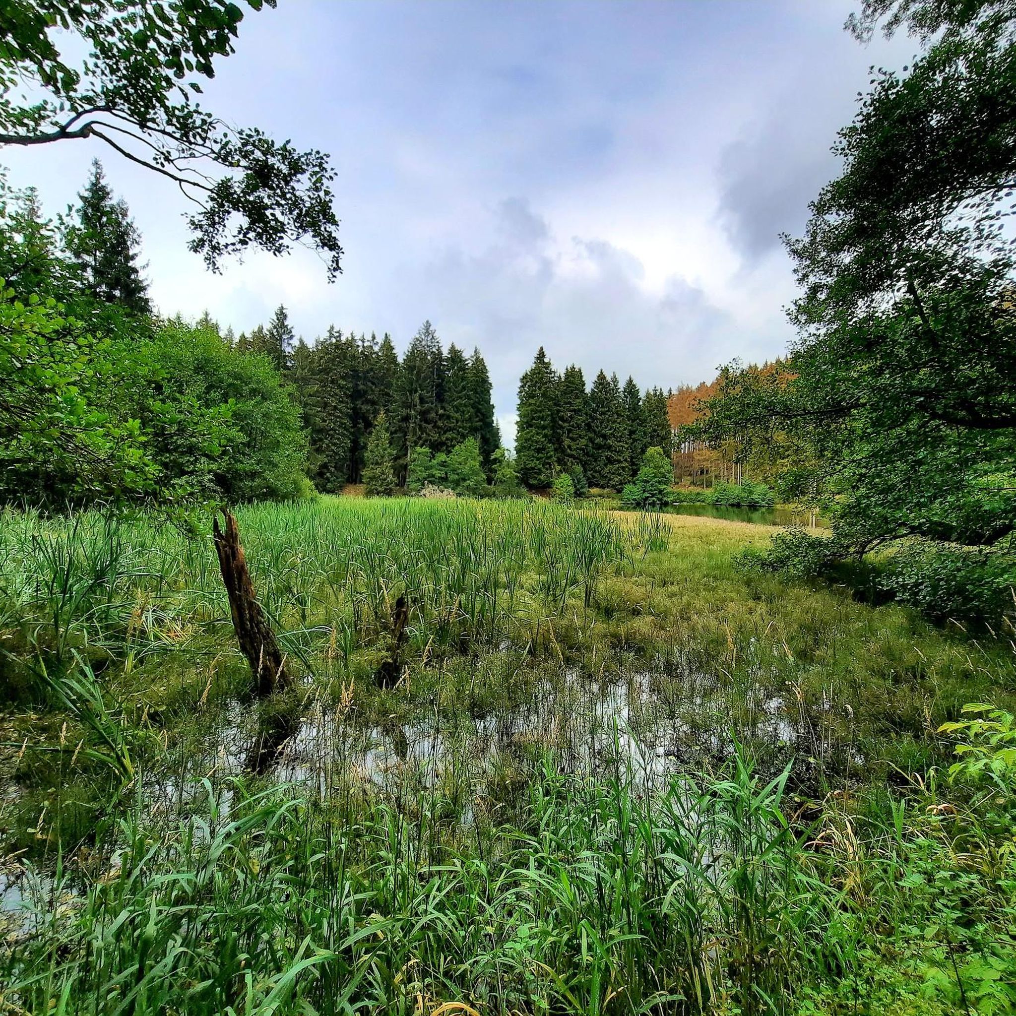
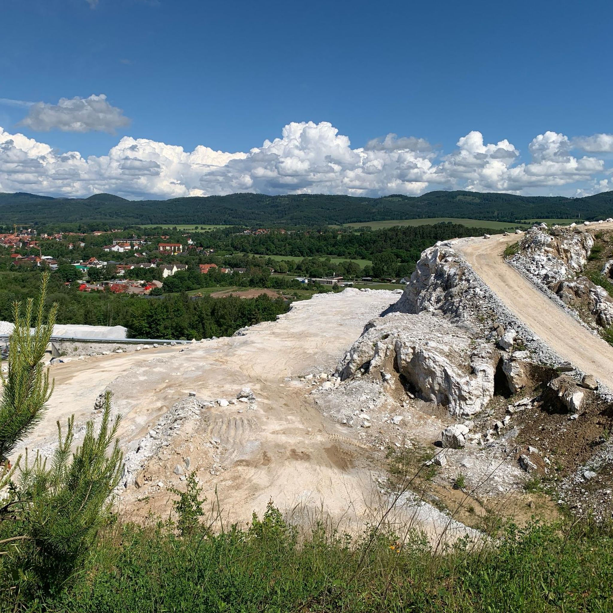
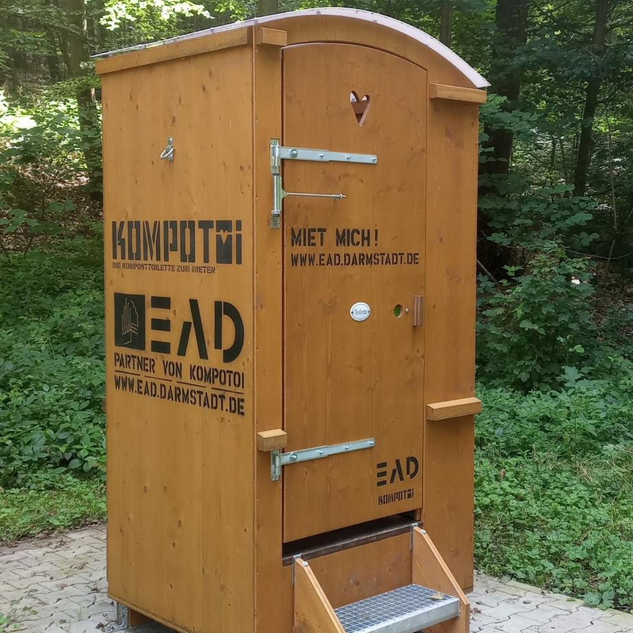


Tips from the Community

Very quiet corner. We hardly met any other hikers. The view from the tower is fantastic. You can see all the way to the Thuringian Forest, the Kyffhäuser Monument, and of course also the Brocken and the Wurmberg. And all this for free. Absolute recommendation!
0
0

In the evening, the view of the sunset is truly amazing.
3
0
Fountain nozzles with lion heads were apparently once popular here as well. Some people still put them in their gardens.
2
0

That's not a waterfall, it's just a silly pipe. 0 out of 10 stars.
0
0

Beautiful historic building. I wonder if a tour is possible... 🤷
0
0

nice cozy and quiet corner, the tower also seems to offer a great view (unfortunately it was too high for me) 😎👍
0
0

Pure spring awakening! Discover the fragrant wild garlic meadows in the South Harz Nature Park. A walk or a short hike through lush meadows and light forests, where you can experience the aromatic wild garlic in its natural habitat. Perfect for nature lovers, photography enthusiasts, and anyone who wants to enjoy the fresh air and colors of the South Harz.
0
0
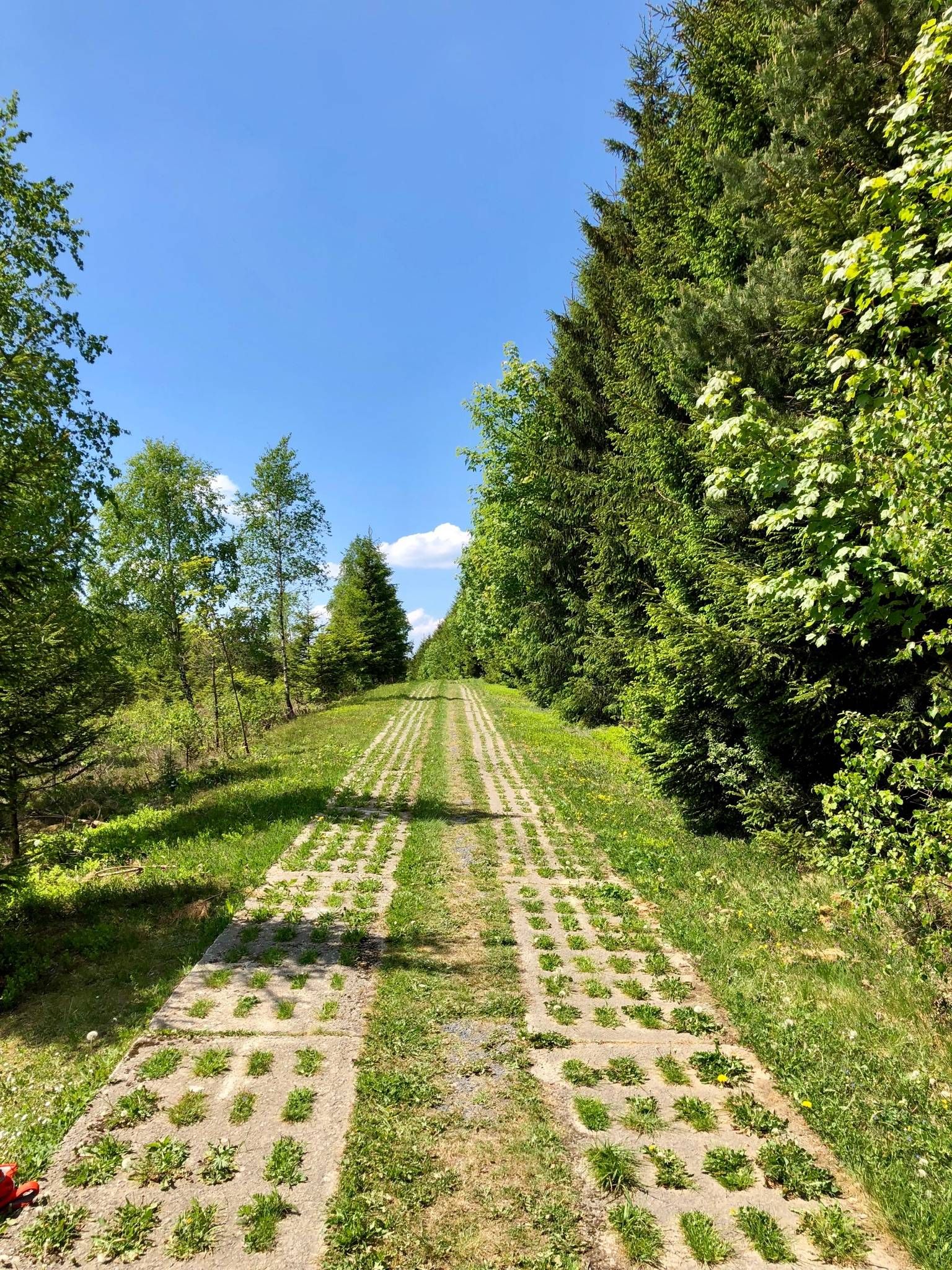
Great place as a reminder of the history of the border between FRG and GDR.
0
0
Frequently Asked Questions
What types of mountaineering routes can I find around Ellrich?
The Ellrich region, situated at the southern edge of the Harz Mountains, offers a diverse range of mountaineering routes. You'll find trails traversing dense forests, unique gypsum karst landscapes, and leading to significant viewpoints. The routes vary in difficulty, with options for both moderate and more challenging ascents. Overall, there are 9 mountaineering routes available, with 6 moderate and 3 difficult options.
Are there any beginner-friendly mountaineering routes near Ellrich?
While the routes around Ellrich are generally categorized as moderate to difficult, some moderate trails can be suitable for those with a good level of fitness and some hiking experience. For example, the View of Zorge – Wendeleiche (Wend Oak) loop from Zorge is a moderate 5.7-mile path that traverses varied landscapes.
What are some of the more challenging mountaineering routes in the area?
For those seeking a challenge, routes like the Goose's Beak – Three-valley view (HWN 93) loop from Ilfeld offer a difficult 4.7-mile ascent with expansive views. Another demanding option is the Carlsturm Observation Tower – Walzhaus Shelter loop from Sophienhof, which is also rated as difficult.
Are there any circular mountaineering routes around Ellrich?
Yes, many of the mountaineering routes around Ellrich are designed as loops, allowing you to start and end at the same point. An example is the Poppenberg Tower (HWN 92) – Three-valley view (HWN 93) loop from Ilfeld, a moderate 6.8-mile trail through mountainous terrain.
What kind of views can I expect on these mountaineering trails?
The region is known for its impressive viewpoints. Notable peaks like Red Shot (505 meters) and Poppenberg (600.6 meters) offer expansive vistas of the southern Harz foreland, the unique karst landscape, and even the distant Brocken and Kyffhäuser. Many routes are specifically designed to lead to these scenic spots, such as the Goose's Beak – Three-valley view (HWN 93) loop from Ilfeld.
Are there any interesting landmarks or natural features to see along the routes?
Absolutely. The Ellrich area is rich in natural and historical landmarks. You might encounter the unique Southern Harz Gypsum Karst formations, dense forests, and significant viewpoints. Nearby attractions include the Neustadt Dam (Harzer Wandernadel 218), the Stierberg Pond (HWN 048), and the Red shot (HWN 90), which is also a hut. The Reversible oak (HWN 165) is another natural monument worth seeing.
What do other mountaineers say about the routes around Ellrich?
The mountaineering routes in Ellrich are highly rated by the komoot community, with an average score of 5.0 stars. Reviewers often praise the varied terrain, from dense forests to unique karst landscapes, and the rewarding views from elevated points. More than 10 mountaineers have used komoot to explore this region.
Can I find places to eat or rest near the mountaineering trails?
While specific cafes directly on every trail are not guaranteed, the region offers options for refreshment. For instance, the Sophienhof Goat Alm (HWN 097) is a restaurant highlight in the area. Towns like Ellrich and Zorge, which serve as starting points for some routes, typically have local eateries.
Is there a route that combines forest exploration with a unique natural feature?
Yes, the The Kuckans Valley – Teufelsstieg Trail loop from Bad Sachsa is a moderate 5.2-mile route that takes you through forested areas and allows you to experience the natural beauty of the region, including the unique gypsum karst landscape.
What is the best season for mountaineering in Ellrich?
The Harz Mountains, including the Ellrich area, are generally suitable for hiking and mountaineering from spring through autumn. These seasons offer pleasant temperatures and vibrant natural scenery. While winter mountaineering is possible, it requires appropriate gear and awareness of snow and ice conditions.
Are there any permits required for mountaineering in the Harz Nature Park near Ellrich?
Generally, no specific permits are required for hiking on designated trails within the Harz Nature Park. However, it's always advisable to respect local regulations, stay on marked paths, and be mindful of wildlife and environmental protection rules.
How long do the mountaineering routes typically take to complete?
The duration of routes varies based on their length and difficulty. For example, a moderate 5.7-mile path like the View of Zorge – Wendeleiche (Wend Oak) loop from Zorge typically takes around 3 hours. More challenging or longer routes, such as the 6.8-mile Poppenberg Tower (HWN 92) – Three-valley view (HWN 93) loop from Ilfeld, can take closer to 3 hours 37 minutes.
Most popular routes around Ellrich
Most popular attractions around Ellrich

Get inspired with the komoot mobile app


Explore more
Browse the best Mountain Hikes & Routes in other regions.
