The best road cycling routes around Montgaillard
4.6
(39)
799
riders
40
rides
Road cycling routes around Montgaillard are set within the Hautes-Pyrénées department of France, offering diverse terrain for cyclists. The region features a mountainous landscape with altitudes ranging from 419m to 602m within the commune, providing varied cycling experiences. The Adour river flows through the village, offering shaded areas, while the broader area provides access to iconic Pyrenean climbs. This environment combines rural tranquility with challenging ascents and scenic views.
Best road cycling routes around Montgaillard
- The most popular road cycling…
Last updated: July 4, 2026
4.5
(2)
27
riders
40.3km
02:00
550m
550m
Moderate road ride. Good fitness required. Mostly well-paved surfaces and easy to ride.
4.0
(1)
5
riders
69.0km
03:55
1,500m
1,500m
Hard road ride. Very good fitness required. Mostly well-paved surfaces and easy to ride.

Sign up for free
5.0
(3)
38
riders
44.2km
02:02
540m
540m
Moderate road ride. Good fitness required. Mostly well-paved surfaces and easy to ride.
5.0
(1)
39
riders
92.0km
04:57
1,780m
1,780m
Hard road ride. Very good fitness required. Mostly well-paved surfaces and easy to ride.
5.0
(2)
32
riders
87.0km
04:32
1,530m
1,530m
Hard road ride. Very good fitness required. Mostly well-paved surfaces and easy to ride.
Get access to more routes and recommendations from other explorers.
Sign up for free
Already have an account?
Our route recommendations are based on thousands of hikes, rides, and runs completed by other people on komoot.
Start today with a free account
Your next adventure awaits.
Login or Signup

Tips from the Community

The French nun, mystic, and Doctor of the Church, Saint Thérèse of Lisieux (religious name Thérèse of the Child Jesus and the Holy Face, 1873 to 1897), expressed her faithful trust in the help of the Mother of God as follows: "When faced with trials or difficulties, I turn to Mother Mary, whose gaze alone is enough to dispel every fear."
0
0

Small chapel with tourist information about attractions in the area.
0
0

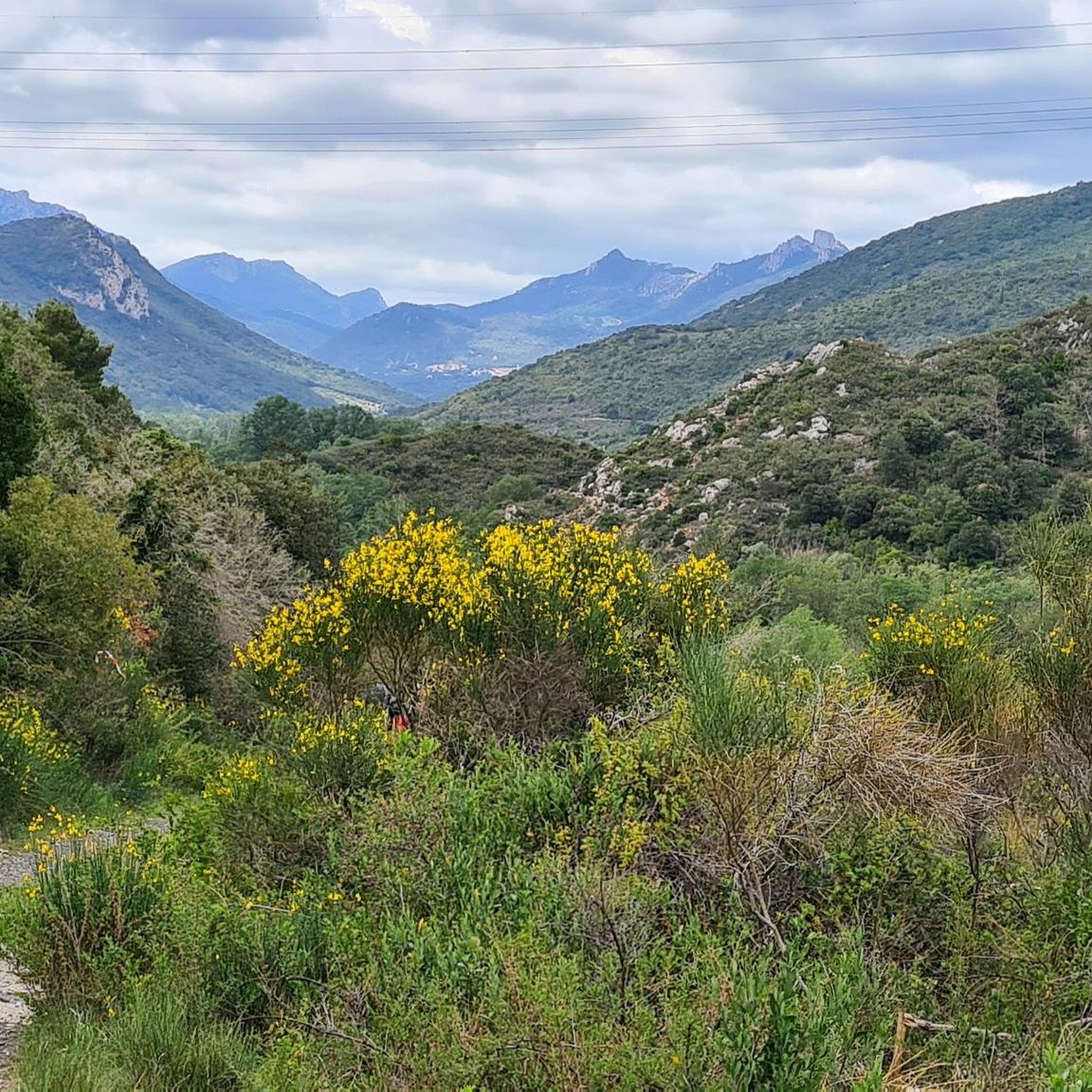
Pass after the Galamus gorges. It is also the starting point for hikes to the mysterious Pic Bugarach.
0
0
The mystical and esoteric Pic du Bugarach
0
0

An affordable pass offering beautiful views of the surrounding mountains
0
0


very wild climb since massac of beautiful percentage at the bottom of the near wooden table in the shade
0
0

Frequently Asked Questions
How many road cycling routes are available around Montgaillard?
There are over 25 road cycling routes around Montgaillard, offering a variety of experiences for different skill levels. These include 11 moderate routes and 14 difficult routes, ensuring options for both casual riders and those seeking a challenge.
What kind of terrain can I expect on road cycling routes near Montgaillard?
Road cycling around Montgaillard is characterized by its mountainous terrain, with altitudes ranging from 419m to 602m within the commune. You'll find varied cycling experiences, from gentle routes along the Adour river to challenging ascents in the Pyrenees. The region offers a mix of rural tranquility and iconic climbs.
Are there challenging climbs for experienced road cyclists near Montgaillard?
Yes, Montgaillard is strategically located near some of the most iconic and challenging climbs in the French Pyrenees, frequently featured in the Tour de France. Within a short distance, you can access legendary passes like the Col du Tourmalet and Col d'Aspin, offering significant elevation gains and consistent gradients.
What are some notable landmarks or natural features to see along the cycling routes?
Many routes offer stunning views and pass by significant landmarks. You can cycle past historic castles like Peyrepertuse Castle or Quéribus Castle. Natural features include the picturesque banks of the Adour river and the dramatic Gorges du Verdouble. The region also offers panoramic views of the Hautes-Pyrénées mountain range, including the Pic du Midi de Bigorre.
Are there any family-friendly or easier road cycling options around Montgaillard?
While the region is known for its challenging climbs, there are also options for less strenuous rides. The Puyolles circuit on the heights of Montgaillard offers a beautiful loop with views of the Tarbaise plain. The V81 Pyrenean Piedmont Plain Véloroute provides a gentle alternative for exploring valleys. For a moderate route, consider the Cucugnan – Gorges du Verdouble loop from Tuchan, which covers about 59 km with moderate climbs.
What is the best season for road cycling in Montgaillard?
The best season for road cycling in Montgaillard is generally from spring to autumn. During these months, the weather is more favorable, and the iconic mountain passes are typically clear of snow, providing optimal conditions for exploring the diverse terrain and enjoying the stunning Pyrenean landscapes.
Are there any circular road cycling routes available?
Yes, many of the road cycling routes around Montgaillard are designed as loops, allowing you to start and finish in the same location. For example, the Linas Pass – Pic de Bugarach loop from Cucugnan is a challenging 87 km circular route with significant elevation gain, offering a full day's adventure.
What do other road cyclists enjoy most about cycling in Montgaillard?
The road cycling routes in Montgaillard are highly rated by the komoot community, with an average score of 4.5 stars from over 20 reviews. Cyclists often praise the breathtaking Pyrenean landscapes, the direct access to world-renowned cycling climbs, and the variety of routes catering to different skill levels, all within a naturally rich and serene environment.
Is there parking available for cyclists in Montgaillard?
Montgaillard, being a rural commune, generally offers a quiet environment. While specific designated cyclist parking areas are not detailed, parking is typically available within the village or at the start points of many routes. It's advisable to check local signage upon arrival for the most convenient spots.
Can I access iconic Tour de France climbs from Montgaillard?
Absolutely. Montgaillard's location provides excellent access to legendary Tour de France climbs. The Col du Tourmalet is approximately 45 minutes away, and the Col d'Aspin is about 40 minutes away, both offering challenging ascents and magnificent views that have tested professional cyclists for decades.
Are there routes that offer scenic viewpoints of the Hautes-Pyrénées?
Many routes in the Montgaillard area provide exceptional panoramic views of the Hautes-Pyrénées mountain range. The Puyolles circuit, for instance, offers views of the Tarbaise plain and the Haut-Adour valley, with the Pic du Midi de Bigorre and Montaigu in the background. The higher mountain passes also reward riders with endless beautiful vistas.
Most popular attractions around Montgaillard

Get inspired with the komoot mobile app


Explore more
Browse the best Road cycling routes in other regions.
