The best running trails around Süderstapel
4.5
(57)
503
runners
62
runs
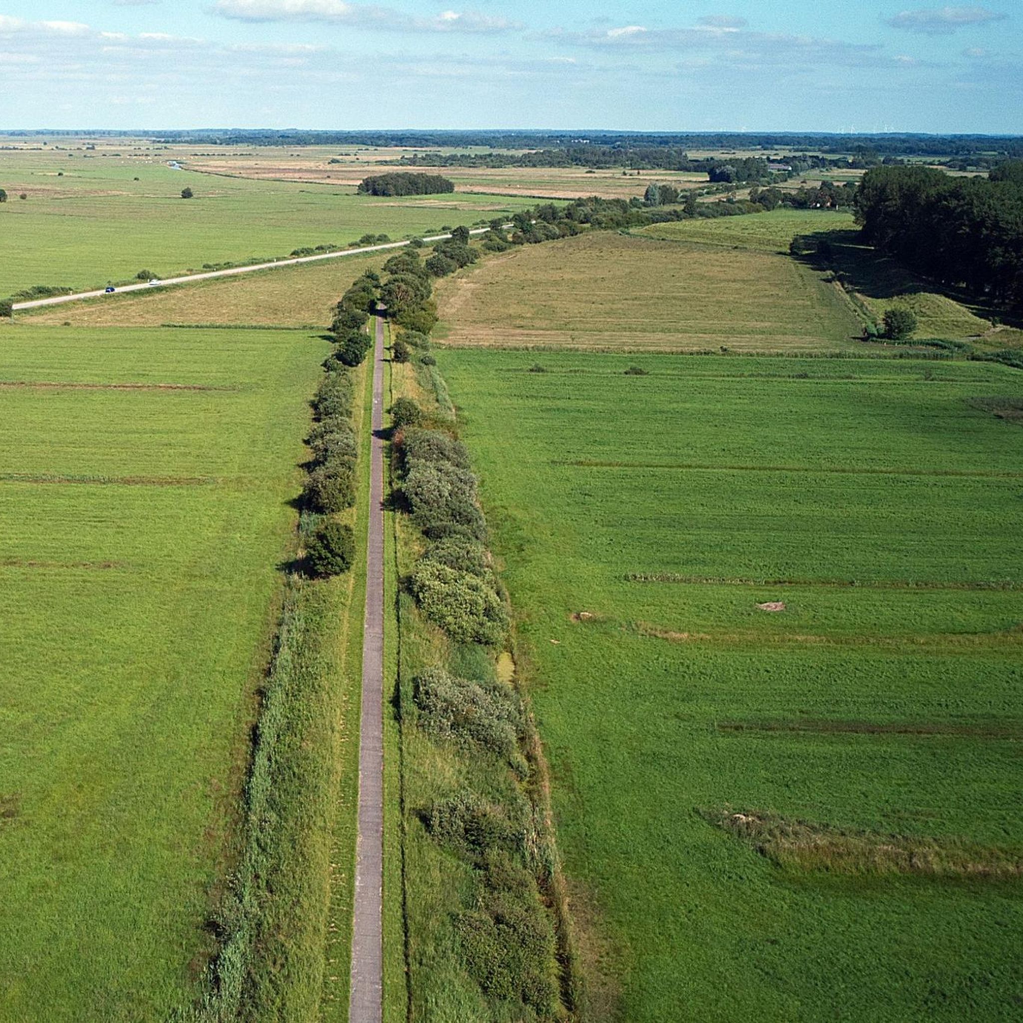
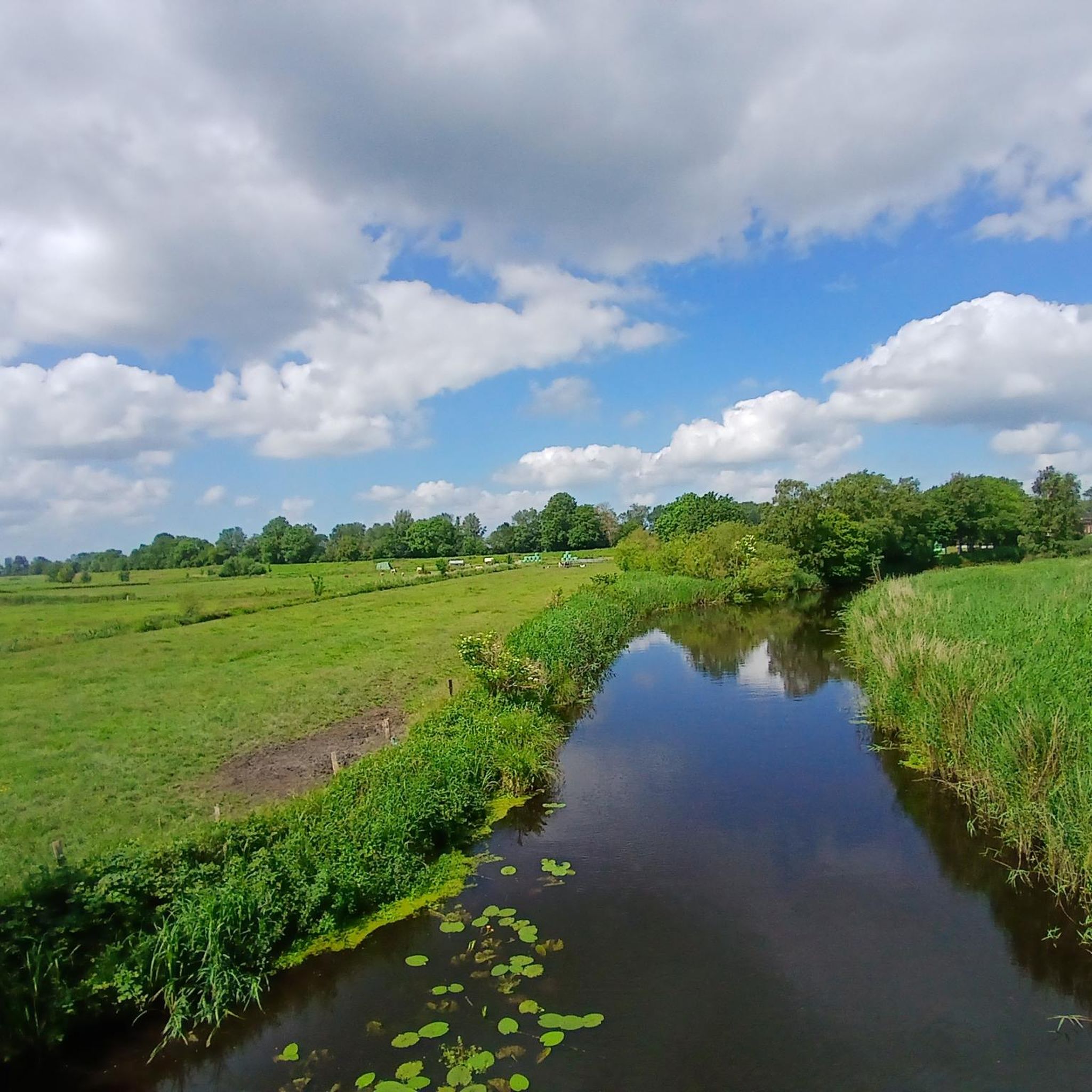
Jogging around Süderstapel offers a network of routes primarily characterized by flat terrain and gentle elevation changes, making it suitable for various fitness levels. The landscape features open fields, riverside paths along the Eider, and small village surroundings. These running routes provide opportunities to explore the region's natural environment and local communities. The area's low elevation means there are no significant climbs, focusing instead on distance and duration.
Best jogging routes around Süderstapel
- The most popular jogging route is Running…
Last updated: July 1, 2026
5.0
(2)
7
runners
8.74km
00:55
10m
10m
Moderate run. Good fitness required. Mostly paved surfaces. Suitable for all skill levels.
8
runners
6.66km
00:41
10m
10m
Moderate run. Good fitness required. Mostly paved surfaces. Suitable for all skill levels.

Sign up for free
5.0
(1)
7
runners
7.51km
00:46
20m
20m
Moderate run. Good fitness required. Mostly paved surfaces. Suitable for all skill levels.
6
runners
10.1km
01:02
30m
30m
Moderate run. Good fitness required. Mostly paved surfaces. Suitable for all skill levels.
4.0
(2)
4
runners
Moderate run. Good fitness required. Mostly paved surfaces. Suitable for all skill levels.
Get access to more routes and recommendations from other explorers.
Sign up for free
Already have an account?
Our route recommendations are based on thousands of hikes, rides, and runs completed by other people on komoot.
Start today with a free account
Your next adventure awaits.
Login or Signup

Tips from the Community

St. Catherine's Church in Stapel is an old fieldstone church, the oldest part of which, the chancel, dates back to the 12th century. The nave, apse, and the striking round west tower followed in the early 13th century. Inside, it impresses with its late Renaissance furnishings: These include a carved altar (1609), a pulpit (1615), and a baptismal font made of blue Belgian marble from the 15th century.
1
0
The white, round west tower of St. Catherine's Church in Stapel is a striking feature. This massive tower dates from the early 13th century and is one of the very rare round towers in the Schleswig region. With walls up to 2.5 meters thick in its lower section, it served not only as a church tower but also as a defensive structure and refuge for the inhabitants of the marshland at that time.
1
0

The main church in the Stapelholm region dates back to the 12th/13th century. Situated on a ridge of heathland directly on the Eider, it originally served as a fortified church against the Dithmarschers on the other side of the Eider. The Dithmarschers burned the church down in the 15th century, and the Stapelholms rebuilt it afterwards. A cemetery surrounded the church until 1885, and some gravestones were left on the church grounds. Extensive restoration work began in 1954, when the ceiling, choir arch and pulpit were painted and the original design of the altar was uncovered. In 1999/2000, new windows were installed in the church, among other things.
1
0

The church is located in the western part of the Stapelholm landscape. It has around 2,400 church members in the villages of Stapel, Seeth and Drage. The parish hall, which is in the immediate vicinity of the church, offers space for events for all generations. The place of worship is St. Catherine's Church on the Eider, which was built around 1200. It is a single-nave stone church with a choir and apse. The mighty round tower (one of three in the Schleswig region) is striking. St. Catherine's Church on the Eider dates from the 13th century. It is a single-nave stone church with a choir and apse. The mighty round tower (one of three in the Schleswig region) is striking. The walls in the lower part are up to 2.50 m thick. The spire was renewed in 1972. The interior was essentially created in the late Renaissance: Carved altar by Hans Peper, Rendsburg, 1609, restored in 2000; Pulpit from Husum, 1615; Galleries with 21 images, 1844. The baptismal font is made of blue Belgian marble and dates from the 15th century. The church windows were renewed in 1999/2000. https://www.kirchenkreis-schleswig-flensburg.de/gemeinden/kreisgebiet-schleswig-flensburg/stapelholm/unsere-kirchen/st-katharinenkirche-in-stapel.html
3
0

The church was built in two phases. The choir was first built in the 12th century and was initially low. In the first half of the 13th century the choir was then raised, the apse added, the nave and the tower built, so that one now had a typical Romanesque stone church. In the 15th century, the church was burned down when the Dithmarsch invaded, and the Stapelholmers rebuilt it afterwards. More: https://www.roundtowerchurches.net/de/deutschland-germany/suederstapel-2/
0
0

The Katharinenkirche is a round tower church in Süderstapel in the Schleswig-Flensburg district. The main church in the Stapelholm region dates from the 12th and 13th centuries. Century. Located on a ridge directly on the Eider, it originally served as a fortified church against the Dithmarschers on the other side of the Eider. Today it is part of the Stapelholm parish in the Evangelical Lutheran Church in Northern Germany. Source: Wiki
1
0

Nice well-kept place to rest and swim. The pavilion offers protection from the rain and children can romp around in the playground.
1
0

Süderstapel is located directly on the Eider and has a beautiful, pristine promenade. Gorgeous at this view over the Eider a little pause.
1
0
Frequently Asked Questions
How many running routes are available in the Süderstapel area?
Süderstapel offers a wide selection of running routes, with over 60 different trails to explore. These routes cater to various fitness levels, ranging from easy jogs to more challenging runs.
Are there easy running routes suitable for beginners in Süderstapel?
Yes, Süderstapel has several easy running routes perfect for beginners or those looking for a relaxed jog. The terrain is generally flat with gentle elevation changes, making it very accessible. There are 8 easy routes available in the area.
Can I find circular running trails around Süderstapel?
Absolutely. Many of the running routes in Süderstapel are designed as circular loops, allowing you to start and finish at the same point. For example, the Running loop from Seeth and the Running loop from Drage are popular circular options.
What kind of scenery can I expect on the running trails in Süderstapel?
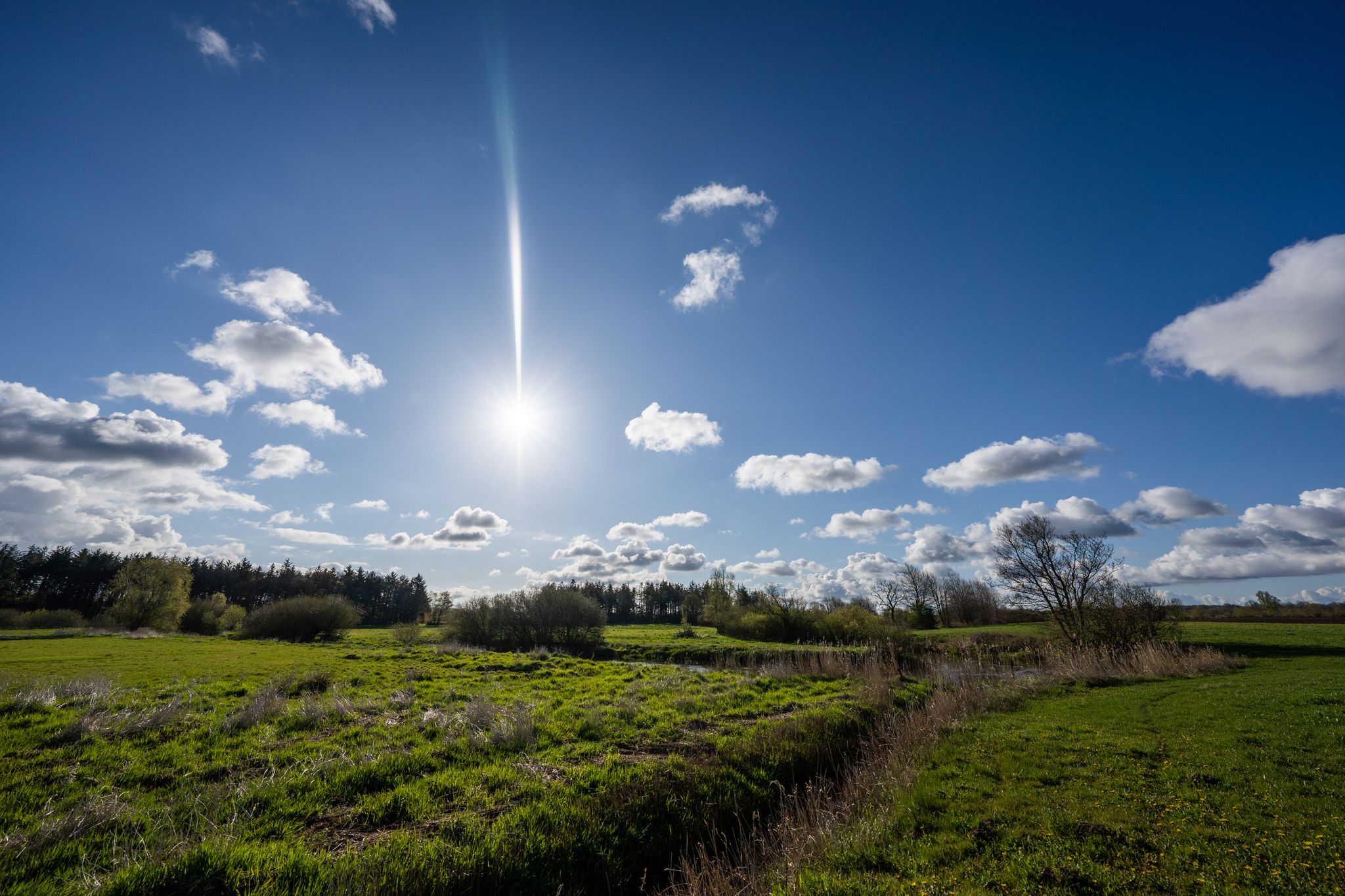
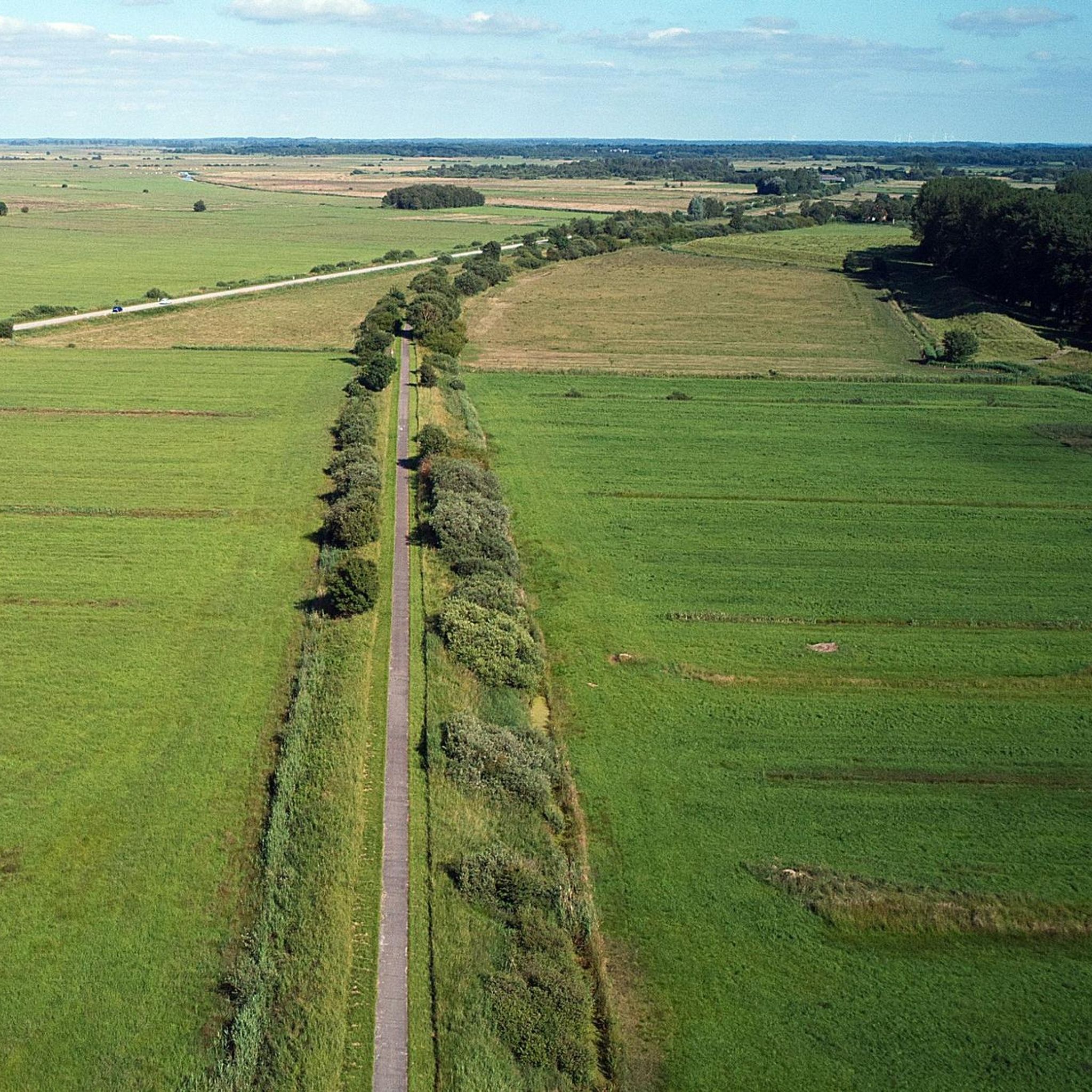
The running trails in Süderstapel primarily feature open fields, picturesque riverside paths along the Eider, and charming small village surroundings. The landscape is characterized by its low elevation, offering expansive views and a peaceful environment for your run.
Are there any viewpoints or interesting sights along the running routes?
While the routes themselves offer scenic views of the Eider river and surrounding countryside, you can also find interesting highlights nearby. Consider exploring the Observation Tower and Picnic Area Meggerkoog or the Observation Tower Lundener Niederung for elevated perspectives of the region.
Are the running routes in Süderstapel suitable for families?
Given the predominantly flat terrain and gentle nature of many trails, Süderstapel's running routes can be suitable for families. Shorter, easy loops like the St. Katharinen Church – Eider River Bathing Beach loop from Süderstapel offer a good option for a family outing.
What do other runners say about the trails in Süderstapel?
The running routes in Süderstapel are highly regarded by the komoot community, boasting an average rating of 4.6 stars from over 50 reviews. Runners often praise the tranquil atmosphere, the well-maintained paths, and the opportunity to explore the natural environment and local villages.
Are there any longer or more advanced running trails for experienced runners?
Yes, while many routes are moderate, there are options for more advanced runners looking for longer distances. For instance, the St. Katharinen Church loop from Süderstapel covers over 10 kilometers, providing a good challenge. The region offers 6 difficult routes in total.
What is the typical duration for a running route in Süderstapel?
The duration varies depending on the route and your pace. For example, the popular Running loop from Seeth typically takes about 1 hour and 5 minutes to complete its 8.7 km. Shorter routes can be completed in under an hour, while longer ones might take closer to 1.5 hours.
Are there any historical or cultural landmarks to see near the running paths?
Yes, the region has some interesting landmarks. While running, you might pass by the historic Nordfeld Lock or the Eider Bridge (Friedrichstadt). The nearby town of Friedrichstadt also features the Friedrichstadt Market Square with its distinctive stepped-gable houses.
Is Süderstapel a good place for winter running?
The flat terrain of Süderstapel can make it suitable for winter running, provided paths are clear of snow and ice. The open fields might be exposed to wind, so dressing appropriately in layers is recommended. Always check local weather conditions before heading out.
Most popular attractions around Süderstapel

Get inspired with the komoot mobile app


Explore more
Browse the best Running Trails & Routes in other regions.
