The best walks and hikes around Camps-Sur-L'Agly
4.5
(692)
3,635
hikers
121
hikes
Hiking around Camps-Sur-L'Agly offers diverse terrain within the Massif des Corbières, characterized by rugged limestone ranges and extensive forests. The region features dramatic natural landmarks such as the Gorges de Galamus and the prominent Pic de Bugarach. Trails often follow river sources and ancient paths, providing varied landscapes for hikers.
Best hiking trails around Camps-Sur-L'Agly
- The most popular hiking route is Pech de bugarach via the South-East ridge – loop from the col de Linas – Parc naturel régional Corbières-Fenouillèdes…
Last updated: July 4, 2026
4.5
(6)
50
hikers
Hard hike. Good fitness required. Sure-footedness, sturdy shoes and alpine experience required.
4.5
(55)
238
hikers
13.7km
04:17
450m
450m
Moderate hike. Good fitness required. Mostly accessible paths. Sure-footedness required.

Sign up for free
4.9
(31)
234
hikers
12.7km
05:18
760m
760m
Hard hike. Very good fitness required. Sure-footedness, sturdy shoes and alpine experience required.
4.8
(40)
281
hikers
7.32km
03:29
560m
570m
Moderate hike. Good fitness required. Mostly accessible paths. Sure-footedness required.
5.0
(2)
30
hikers
19.6km
06:29
910m
910m
Hard hike. Very good fitness required. Sure-footedness, sturdy shoes and alpine experience required.
Get access to more routes and recommendations from other explorers.
Sign up for free
Already have an account?
Our route recommendations are based on thousands of hikes, rides, and runs completed by other people on komoot.
Start today with a free account
Your next adventure awaits.
Login or Signup
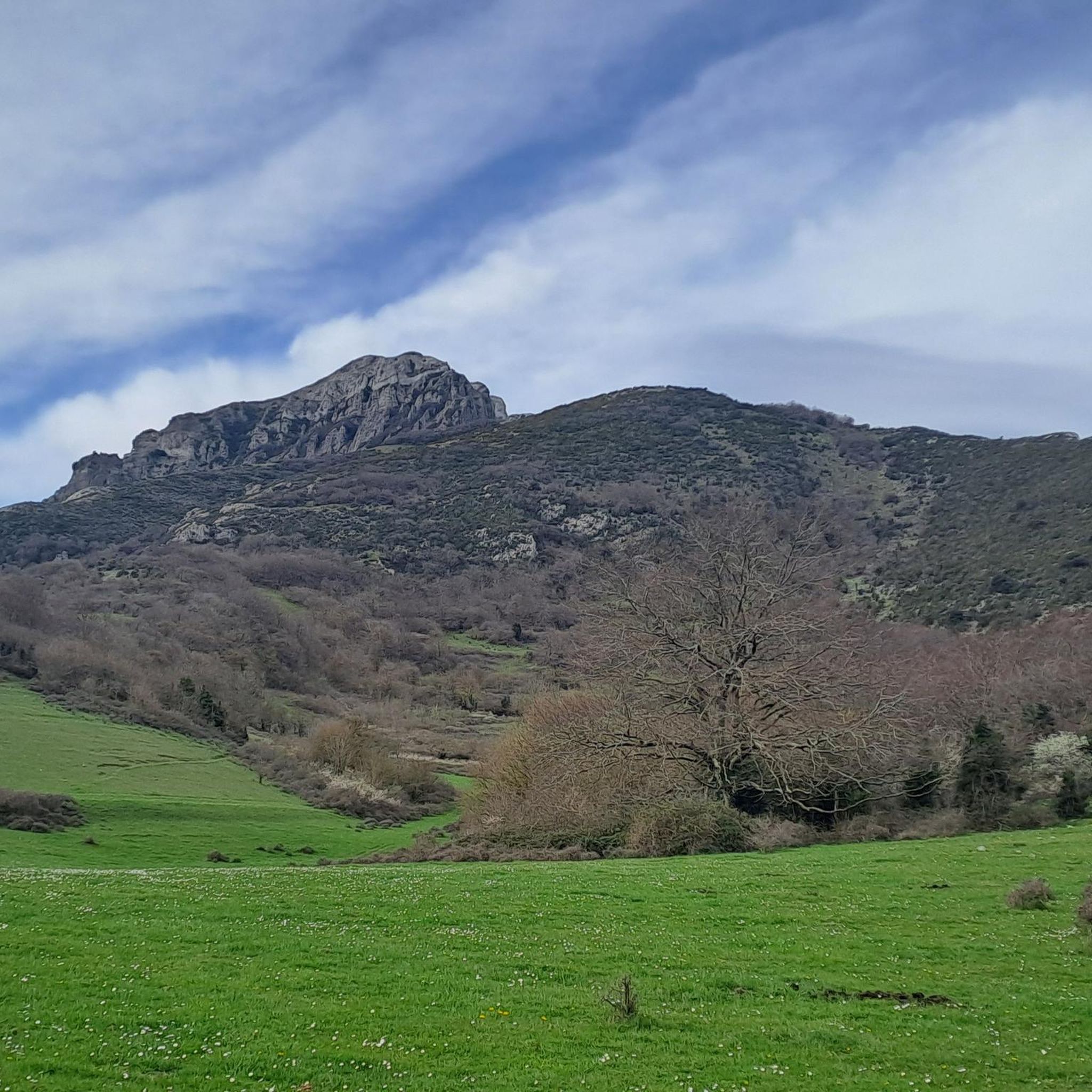
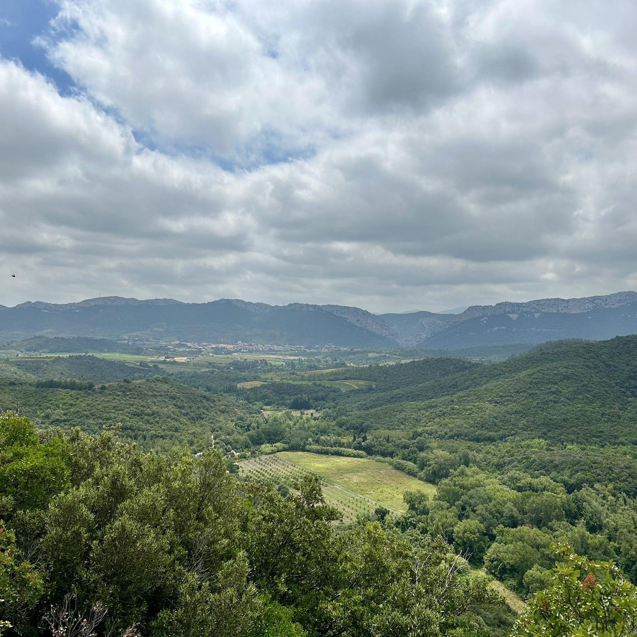
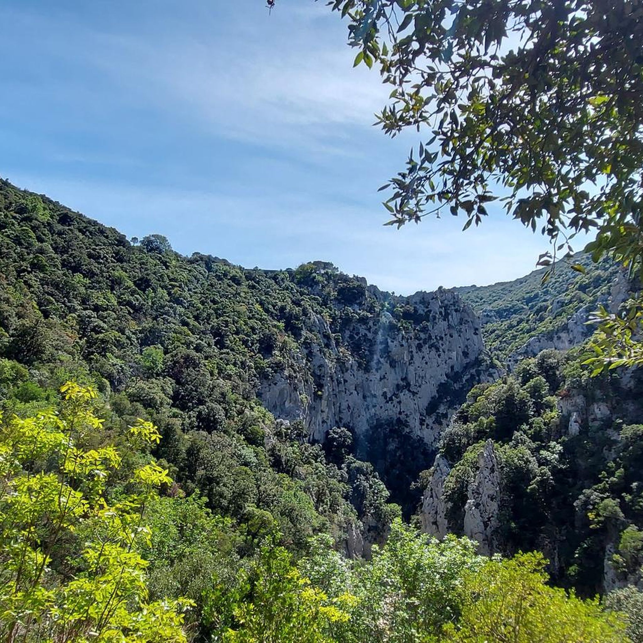
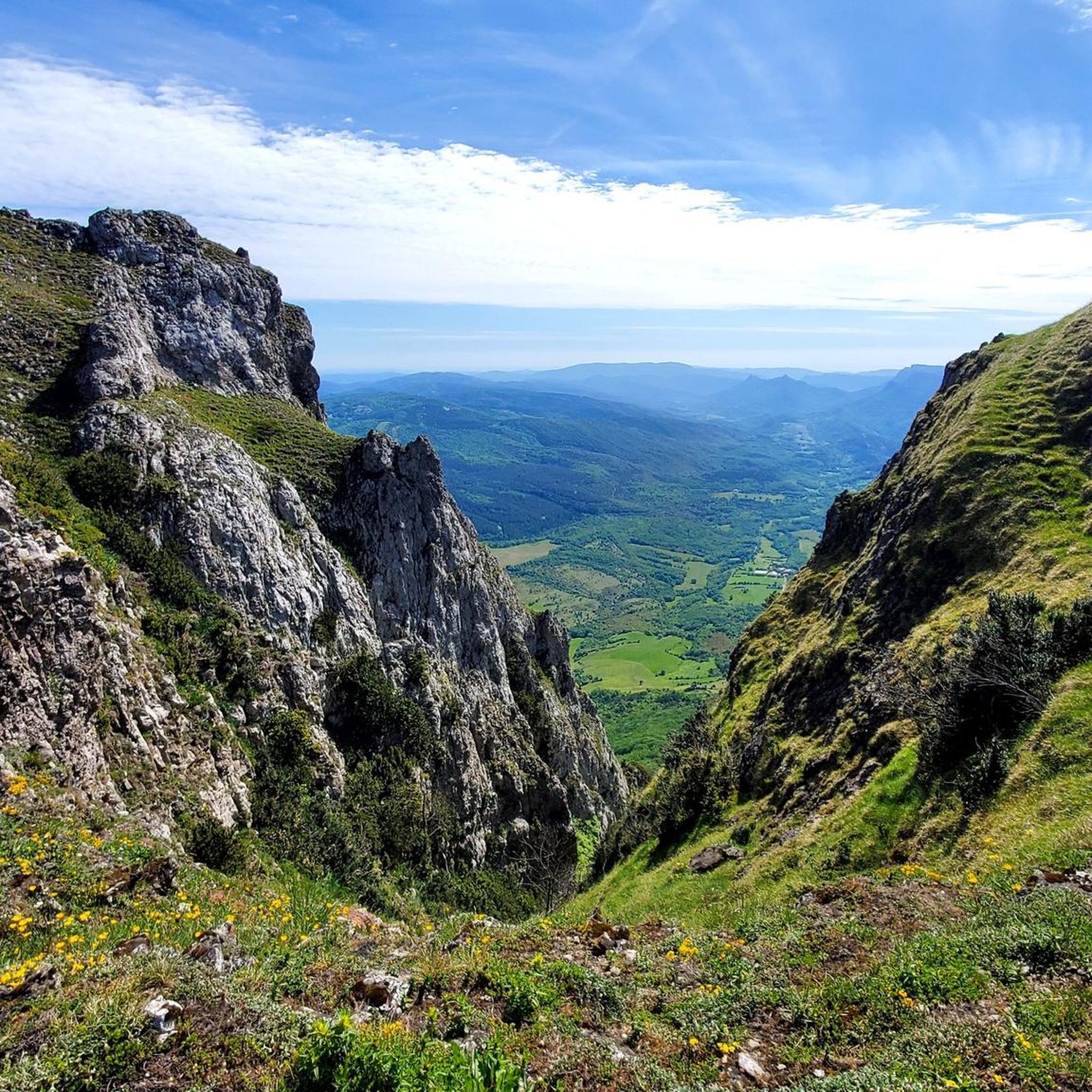

Tips from the Community

Wonderful waterfall with a small basin underneath. The place is very idyllic 🥰.
0
0
The waterfall is in a different location, about 1 km further and is not directly on the Katharerweg. I was disappointed when there was nothing to see at this spot. Thanks to the directions from three French people, I found the right place 😅.
0
0

Grandiose landscapes, it's truly magnificent, breathtaking on this road carved into the rock, which can even be dizzying!
1
0

Beautiful small reservoir located in front of the village of Bugarach.
1
0

Spectacular views on this route with several points to stop and enjoy the views.
12
0
The carved part of the route is only a few kilometers and every meter is beautiful.
19
0
The gateway to the Gorges and the beginning of the gorge
20
0
Frequently Asked Questions
What kind of terrain can I expect on hikes around Camps-Sur-L'Agly?
The region is characterized by diverse terrain, including rugged limestone ranges, extensive forests, and dramatic gorges. You'll encounter rocky paths, forested trails, and open areas with panoramic views, especially around the Corbières massif and Pech de Bugarach.
Are there any easy or family-friendly hiking options in Camps-Sur-L'Agly?
Yes, among the 115 hiking routes available, 19 are classified as easy. While specific family-friendly routes aren't detailed in the data, these easier trails generally offer less challenging terrain and shorter distances, making them suitable for families. Look for routes with lower elevation gain and shorter durations.
What are some notable natural landmarks or viewpoints I can discover on a hike?
Many trails offer remarkable views of the Pyrenees, including the iconic Pic du Canigou. You can also explore the spectacular Gorges de Galamus, known for their breathtaking scenery. The prominent Pech de Bugarach is another significant landmark, offering 360-degree panoramas from its summit. The source of the Agly River and the unique saltwater spring, La Sals, also add to the region's natural appeal.
Can I find circular hiking routes around Camps-Sur-L'Agly?
Absolutely. Many routes in the area are designed as loops, allowing you to start and end at the same point. For example, the challenging Pech de Bugarach via the South-East ridge – loop from the col de Linas is a popular circular option. Another is the moderate Saint Anthony Hermitage – Gorges de Galamus loop from Cubières-sur-Cinoble.
What historical sites or castles can I visit while hiking in the area?
The region is rich in Cathar history. While the castle in Camps-Sur-L'Agly is mostly in ruins, you can find impressive nearby Cathar castles like Peyrepertuse Castle and Puilaurens Castle within a short distance. These often serve as stunning backdrops or destinations for hikes, providing a glimpse into the area's past.
What is the best time of year to go hiking in Camps-Sur-L'Agly?
The Corbières mountains offer good hiking conditions for much of the year. Spring and autumn provide pleasant temperatures and vibrant landscapes. Summer can be hot, especially in the gorges, so early morning starts are recommended. Winter hikes are also possible, but some higher routes might require appropriate gear for colder conditions.
Are there any trails that feature waterfalls?
Yes, you can find routes that include waterfalls. The Old village – Mathieux Waterfall loop from La Bastide is a challenging 19.3 km trail that specifically features the Mathieux Waterfall. Additionally, the Clue de la Fou, though a bit further afield, is known for its impressive waterfalls and natural pools.
What do other hikers say about the trails around Camps-Sur-L'Agly?
The hiking routes in Camps-Sur-L'Agly are highly rated by the komoot community, with an average score of 4.5 stars from over 600 reviews. Hikers often praise the varied terrain, from limestone gorges to forested areas and high peaks, and the stunning panoramic views, especially from spots like Pech de Bugarach.
Is it possible to reach Camps-Sur-L'Agly by public transport for hiking?
Camps-Sur-L'Agly is a rural commune in the Hautes Corbières. Public transport options directly to the village are limited. It's advisable to check local bus schedules for the Aude department or consider driving, as many trailheads are more easily accessible by car. For more information on the region, you can visit Agly Tourisme.
Are there designated parking areas for hikers near the trailheads?
While specific parking details for every trailhead are not provided, many popular hiking starting points, especially for well-known routes like those around Pech de Bugarach or the Gorges de Galamus, typically have designated or informal parking areas. It's recommended to check the route details on komoot for specific parking information for your chosen trail.
Are dogs allowed on the hiking trails in Camps-Sur-L'Agly?
Generally, dogs are welcome on many hiking trails in the Corbières region, especially if kept on a leash. However, specific restrictions might apply in certain protected natural areas or during particular seasons to protect wildlife. Always check local signage at trailheads for any specific rules regarding dogs.
Most popular attractions around Camps-Sur-L'Agly

Get inspired with the komoot mobile app


Explore more
Browse the best Hikes in other regions.
