The best running trails around Laprugne
4.0
(35)
1,077
runners
79
runs
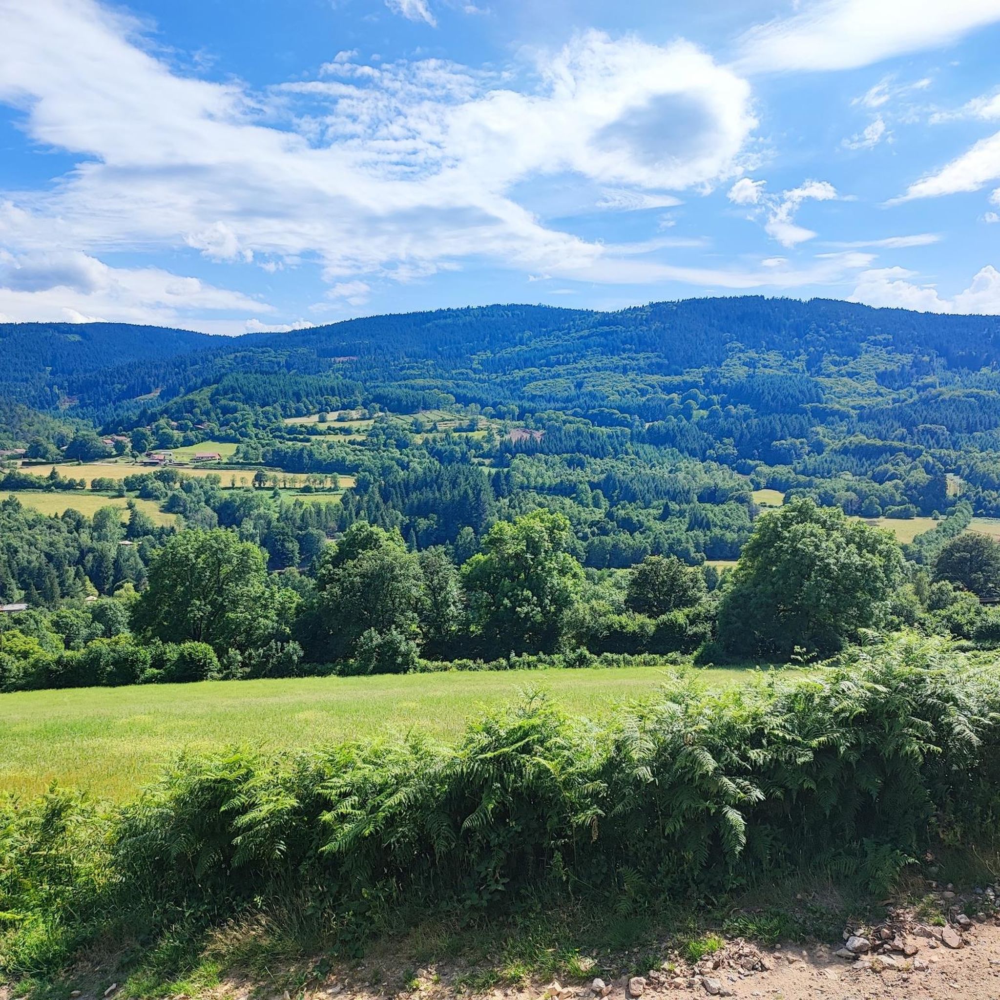
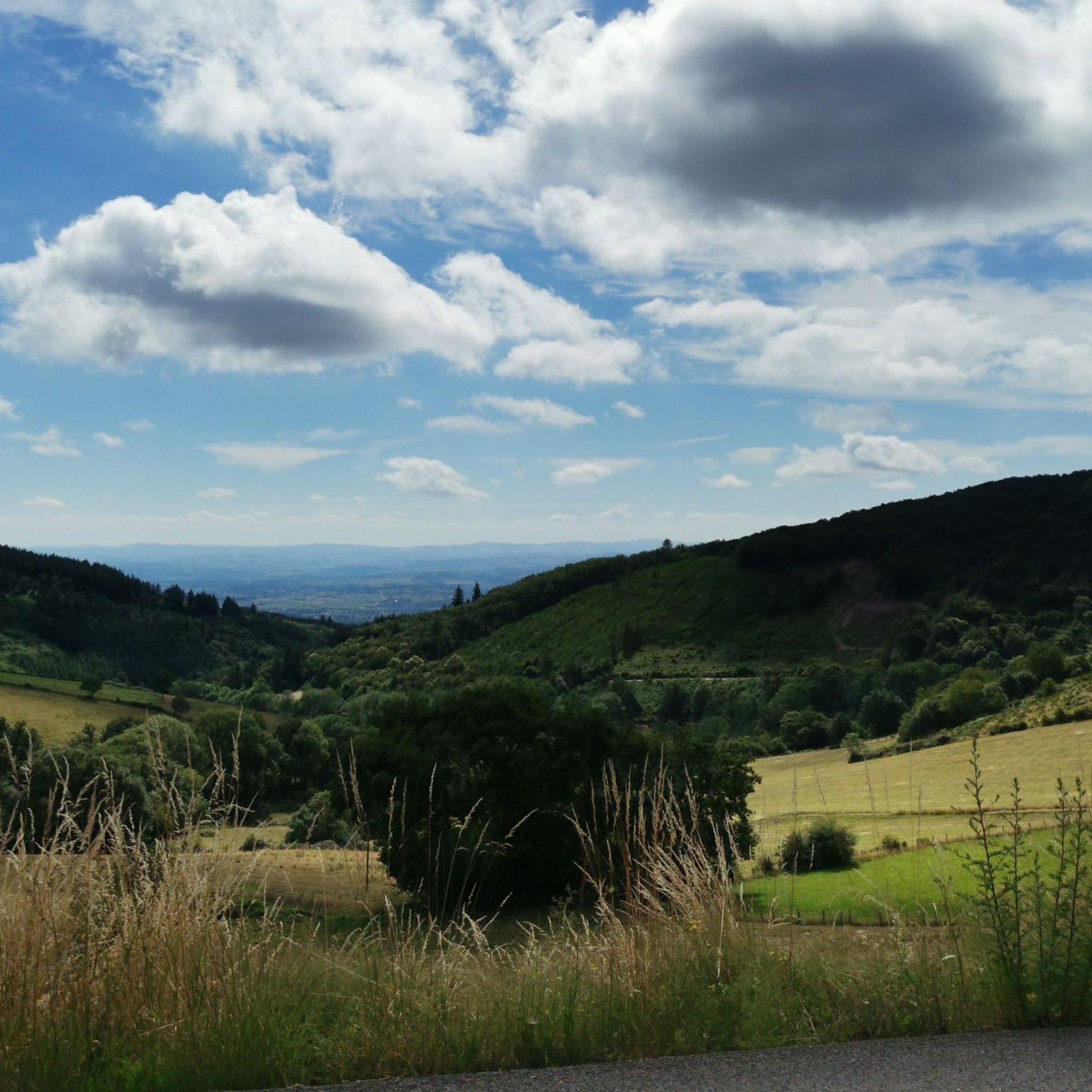
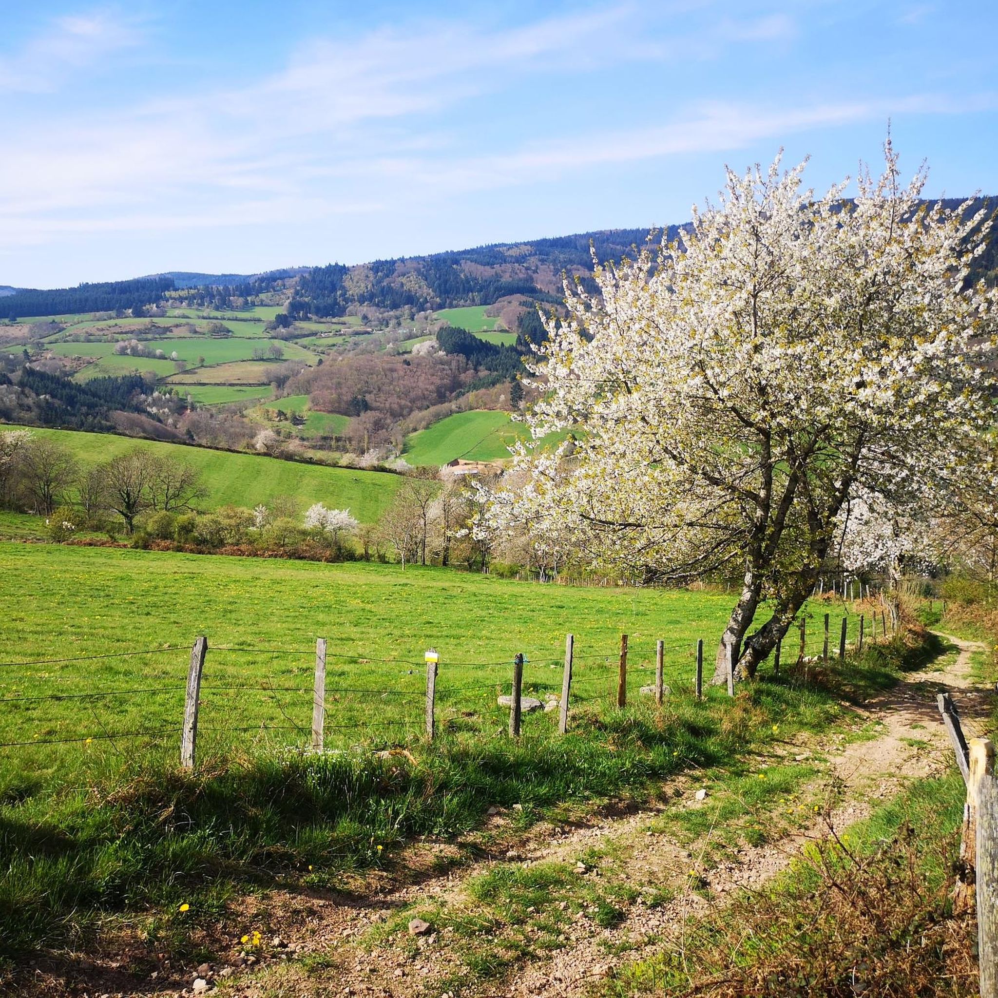
Jogging around Laprugne offers diverse terrain across the Montagne Bourbonnaise and Monts de la Madeleine. The area is characterized by extensive forest cover, including the Bois Bizin and Forêt domaniale de l'Assise, providing shaded running routes. Altitudes range from 549 to 1,164 meters, featuring hills like Roc des Gabelous and the higher Pierres du Jour, which present varied elevation changes for runners. The Besbre River also flows through the commune, contributing to the natural landscape.
Best jogging routes around Laprugne
…Last updated: October 18, 2026
13
runners
8.23km
00:58
220m
230m
This moderate 5.1-mile jogging loop from Lavoine offers panoramic views from Rocher Saint Vincent and varied forest terrain.
35
runners
38.1km
04:52
1,230m
1,220m
Hard run. Very good fitness required. Sure-footedness, sturdy shoes and alpine experience required.

35
runners
42.7km
05:39
1,680m
1,680m
Hard run. Very good fitness required. Mostly paved surfaces. Suitable for all skill levels.
5.0
(1)
8
runners
9.48km
01:03
200m
200m
Moderate run. Good fitness required. Mostly paved surfaces. Suitable for all skill levels.
10
runners
6.78km
00:44
130m
130m
Moderate run. Good fitness required. Mostly paved surfaces. Suitable for all skill levels.
Get access to more routes and recommendations from other explorers.
Already have an account?
Our route recommendations are based on thousands of hikes, rides, and runs completed by other people on komoot.
Start today with a free account
Your next adventure awaits.

Tips from the Community

a pass that culminates at about 1,070 meters above sea level, little traffic, a steady climb from the Gitenay mill over 7 km with an average gradient of 7%, very pleasant climb in nature, with plenty of shade.
0
0

A very nice and pleasant pass with several climbs more or less accessible depending on the level and distance. Each side offers its share of landscapes and small villages. If you want to climb it for the beauty of the landscapes, I recommend the ascent via Les Noës or via Charrier, and for those seeking a difficult climb, Charrier also serves as the hardest side.
1
0

A long, steady climb. Almost no cars, wide roads and beautiful surroundings! Hard to find a coffee or lunch place though.
0
0

great ride but remember to charge the batteries before leaving.....
0
0

The immense Bois Noirs forest offers several cycling and hiking trails for nature lovers.
0
0

As you walk along the track that runs through the forest towards the Saint-Vincent rock, the trees part for a moment to reveal the wind turbines.
0
0

Saint-Vincent Rock is an imposing volcanic rock that offers breathtaking views of the surrounding forests and valleys. It is a natural wonder that dates back millions of years, when lava erupted from a fissure. Later, the sea receded, and tectonic movement lifted the lava, creating the impressive rock that stands today. You can explore the ruins of an ancient castle that once crowned the rock and admire a statue of the Virgin and Child, called "Our Lady of Up There," installed in 2012.
0
0

The Puy de Montoncel is an extinct volcano, culminating at an altitude of 1,287 meters. In a notebook, I wrote about it: "Its slopes are covered with a majestic thorn forest, with an archaic, sometimes primal beauty. The rare paths that cut through the woods wind along the slopes, in the shade of the green giants. These paths are the veins of the forest. They are tunnels of abundant oxygen. From meadows to groves, I feel as if I'm floating on an ocean of nature. At the summit of the puy, I find a plateau devoid of trees as if blown by the wind, and topped with a thick thatch. A huge iron cross rises into the sky, looking mischievously at the wind turbines on the neighboring ridges, which come to life with the sound of the air." I sit down on a wide carpet of green grass, a veritable velvet to rest my body after this first, sweaty climb. I light a pipe and cheerfully observe the Auvergne volcanoes that swell the horizon. Their supple, rounded shapes give the impression of observing distant hills. Puy-de-Dôme, Monts Dore, Puy-de-Sancy, I amuse myself by guessing the roofs I was clambering over the previous year.
0
0
Frequently Asked Questions
How many running routes are available around Laprugne?
Laprugne offers a wide selection of running routes, with over 70 trails recorded on komoot. These routes cater to various fitness levels, ranging from easy loops to challenging long-distance runs.
What kind of terrain can I expect on the running trails in Laprugne?
The running trails in Laprugne feature diverse terrain, from extensive forests like the Bois Bizin and the Forêt domaniale de l'Assise, offering shaded paths, to mountainous areas with significant elevation changes. You'll encounter varied altitudes, crest paths with panoramic views, and some routes along river valleys like the Besbre River.
Are there any easy running routes suitable for beginners or a relaxed jog?
Yes, Laprugne has several easy running options. For a relaxed jog with pleasant views, consider the Tour of Lake Saint-Clément, which is short, easy, and well-maintained. Another easy option is the Le petit Alpes d'huez loop from Saint-Priest-la-Prugne, which is approximately 4.3 km long with minimal elevation gain.
What are some challenging running routes for experienced runners in Laprugne?
For experienced runners seeking a challenge, Laprugne offers several difficult routes with significant elevation gains. The Col de la Loge des Gardes – Col de la Rivière Noire loop from Col de la Loge des Gardes is a difficult 38.1 km path, and the Col de la Loge des Gardes – Saint-Vincent Rock loop from Col de la Loge des Gardes is an even longer 46.6 km trail, both leading through the higher altitudes of the Montagne Bourbonnaise.
Are there any circular running routes in the Laprugne area?
Yes, many of the running routes around Laprugne are circular, allowing you to start and finish at the same point. For example, the popular Rocher Saint-Vincent Loop is a moderate 8.2 km circular trail. The longer, more challenging routes like the Col de la Loge des Gardes – Col de la Rivière Noire loop from Col de la Loge des Gardes are also loops.
What natural features or landmarks can I see while running in Laprugne?
Laprugne's running routes pass through beautiful natural landscapes. You can explore extensive forests, reach peaks like the Roc des Gabelous for commanding views, or run near the Besbre River. The area also features several lakes, such as Lake Saint-Clément and Rouchain Dam Lake, which offer scenic backdrops. Historic paths like the 'Chemin de la Ligue' also add interest.
Are there any family-friendly running trails in Laprugne?
For families, the shorter, easier routes are ideal. The Tour of Lake Saint-Clément is a great option for a leisurely run with children. The Le petit Alpes d'huez loop from Saint-Priest-la-Prugne is another easy trail that could be suitable for families looking for a shorter distance.
What do other runners enjoy most about jogging in Laprugne?
The running routes in Laprugne are highly rated by the komoot community, with an average score of 4.0 stars from nearly 30 reviews. Runners often praise the diverse terrain, the beauty of the extensive forests, and the varied challenges offered by the mountainous landscape, making it suitable for all levels.
Are there specific routes that offer historical interest?
Yes, some routes incorporate historical elements. The Jolan Route, starting in Nizerolles, partially follows the former departmental railway line, known as the Tacot de la Montagne Bourbonnaise. Additionally, the historic 'Chemin de la Ligue' (Path of the League) still exists on a crest in Laprugne, with the Roc des Gabelous situated along it, offering both historical context and elevated views.
Where can I find facilities like cafes or accommodation near the running trails?
The Loge des Gardes sports center is a key starting point for several routes and may offer facilities. While specific cafes directly on trails are not detailed, the villages and communes in the Montagne Bourbonnaise region, including Laprugne, typically provide local amenities, including cafes and accommodation options for visitors.
What is the best time of year for running in Laprugne?
Laprugne's extensive forests offer shaded routes, which can be particularly pleasant during warmer months. The varied terrain, including higher altitudes, means conditions can change seasonally. Spring and autumn generally provide mild temperatures and beautiful scenery, while summer offers cool forest runs. Winter running is possible, especially on lower elevation trails, but higher mountain paths may be affected by snow.
Are there any running routes that start from the Loge des Gardes?
Yes, the Loge des Gardes is a notable starting point for several routes. For instance, the route 'From the Loge des Gardes to Point du Jour' leads through the beautiful beech undergrowth of the Assise State Forest at over 1,000 meters altitude, offering a mix of forest and open-country running. Longer, challenging loops like the Col de la Loge des Gardes – Col de la Rivière Noire loop from Col de la Loge des Gardes also begin here.
Most popular attractions around Laprugne

Get inspired with the komoot mobile app


Explore more
Browse the best Running Trails & Routes in other regions.
