The best walks and hikes around Bayet
4.6
(121)
525
hikers
38
hikes
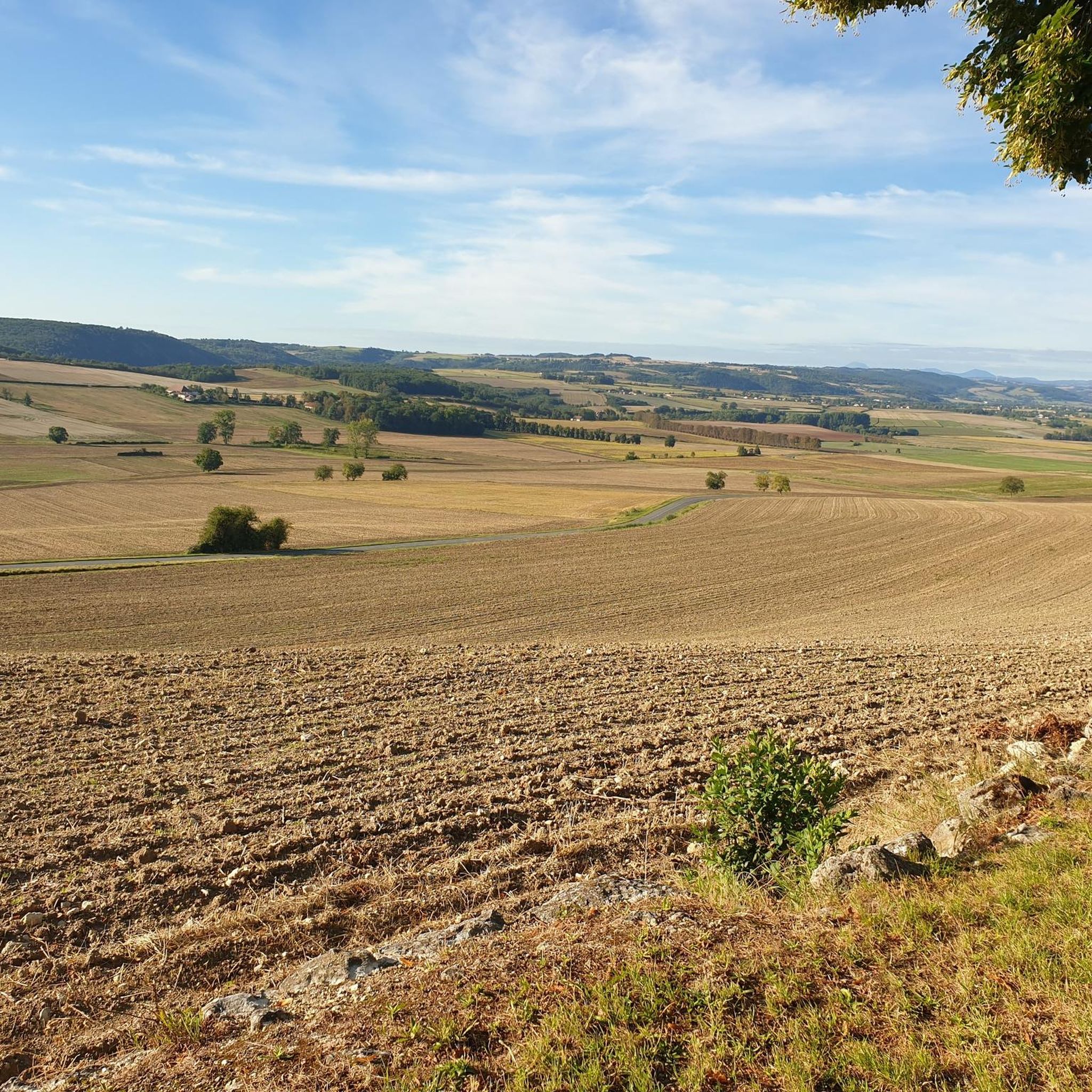
Hiking around Bayet, located in the Auvergne region of France, offers trails through a landscape characterized by rolling hills and agricultural areas. The terrain typically features gentle ascents and descents, often passing through open fields and alongside local waterways like the Sioule River. The region's hiking trails provide access to rural scenery and local points of interest, including forests and historical structures.
Best hiking trails around Bayet
- The most popular hiking route is Saint-Pourçain-sur-Sioule loop from Saint-Pourçain-sur-Sioule, a 4.5…
Last updated: June 27, 2026
4.8
(4)
47
hikers
7.32km
01:52
20m
30m
Easy hike. Great for any fitness level. Easily-accessible paths. Suitable for all skill levels.
5.0
(2)
9
hikers
8.53km
02:20
130m
130m
Moderate hike. Good fitness required. Easily-accessible paths. Suitable for all skill levels.

Sign up for free
3
hikers
12.8km
03:23
120m
120m
Moderate hike. Good fitness required. Easily-accessible paths. Suitable for all skill levels.
5.0
(1)
6
hikers
10.9km
02:57
140m
140m
Moderate hike. Good fitness required. Easily-accessible paths. Suitable for all skill levels.
4.0
(1)
6
hikers
7.59km
02:02
90m
90m
Moderate hike. Good fitness required. Easily-accessible paths. Suitable for all skill levels.
Get access to more routes and recommendations from other explorers.
Sign up for free
Already have an account?
Our route recommendations are based on thousands of hikes, rides, and runs completed by other people on komoot.
Start today with a free account
Your next adventure awaits.
Login or Signup



Tips from the Community


The Sainte-Croix Church has a magnificent wooden ceiling in the nave and colorfully painted Gothic columns!
4
0
at the top ideal for a hot day
0
0
Back across the river is not possible due to high water levels. Then quite a detour to get back to the village.
1
0

avoid in case of high flow, especially with children
1
0

Wonderful hike, except the beginning, which we extend to work on our cardio. Avoid walking along streams in April. There were lots of butterfly caterpillars that fell on us, over 2 km. Nothing too bad. The decor is worth it. Don't forget at the end of the hike to go to Charroux, a picturesque little village with lots of memories to bring back, it's 12 km away. Good walk
1
0

There you will encounter these steep stairs cut into the rock, which will test your endurance and reward you with breathtaking views.
2
0
This viewpoint offers an exceptional panorama of the former Saint-Vincent Abbey, a former Benedictine monastery founded in the 6th century by Queen Anne of kyiv. You can admire the remains of the fortified enclosure, the church, the cellars and the grottos which testify to the rich past of this place. You will appreciate the peaceful atmosphere and the beauty of nature as you pass by this historic site.
2
0
Frequently Asked Questions
How many hiking trails are available around Bayet?
There are over 35 hiking routes available around Bayet, offering a variety of options for exploring the region's landscapes.
What is the typical terrain like for hiking in Bayet?
Hiking in Bayet primarily features trails through rolling hills and agricultural areas. You can expect gentle ascents and descents, often passing through open fields and alongside local waterways, characteristic of the Auvergne region of France.
What are the difficulty levels of hikes in Bayet?
The trails around Bayet are generally easy to moderate. There are approximately 18 easy routes and 20 moderate routes, making the area accessible for various fitness levels. There are no difficult routes listed in the immediate vicinity.
What do other hikers say about the trails in Bayet?
The hiking routes in Bayet are highly rated by the komoot community, with an average score of 4.4 stars from over 100 reviews. Hikers often praise the rural scenery and the well-maintained paths that lead through local points of interest.
Are there any circular hiking routes in Bayet?
Yes, many routes in Bayet are circular. For example, you can explore the Chareil Castle loop from Bayet, which offers views of the local countryside and passes by historical structures. Another option is the Hiking loop from Cesset.
Are the hiking trails around Bayet suitable for families?
Yes, many of the trails around Bayet are suitable for families due to their easy to moderate difficulty and gentle terrain. The paths through agricultural fields and along local waterways provide a pleasant environment for walks with children.
What kind of natural features or landmarks can I expect to see while hiking near Bayet?
While hiking near Bayet, you can expect to see rural landscapes, agricultural fields, and local waterways. Notable landmarks include the Charroux – Medieval Village and the View of former Saint-Vincent abbey. You might also encounter the Green stairs and sections of the Via Allier.
What is the best time of year to go hiking in Bayet?
The best time to hike in Bayet is typically during spring, summer, and early autumn when the weather is mild and the rural landscapes are at their most vibrant. The gentle terrain makes it enjoyable across these seasons.
Is public transport available to reach hiking trailheads in Bayet?
Information regarding specific public transport links directly to trailheads in Bayet is limited. It is generally recommended to use a car for more flexible access to the various starting points of the hiking routes in this rural region.
Where can I find parking for hiking trails in Bayet?
Parking is typically available in or near the villages where the hiking routes begin. For example, routes like the Saint-Pourçain-sur-Sioule loop would have parking options in Saint-Pourçain-sur-Sioule.
Are there any longer hikes for those seeking more distance?
Yes, for those looking for longer distances, the Cordeliers loop from Saint-Pourçain-sur-Sioule is a moderate route spanning nearly 18 km, offering a more extended exploration of the area.
Can I bring my dog on the hiking trails in Bayet?
Generally, dogs are welcome on many hiking trails in rural France, including those around Bayet. However, it's always advisable to keep your dog on a leash, especially when passing through agricultural fields or near livestock, and to respect local signage.
Most popular attractions around Bayet

Get inspired with the komoot mobile app


Explore more
Browse the best Hikes in other regions.
