The best road cycling routes around Dondas
4.7
(14)
707
riders
127
rides
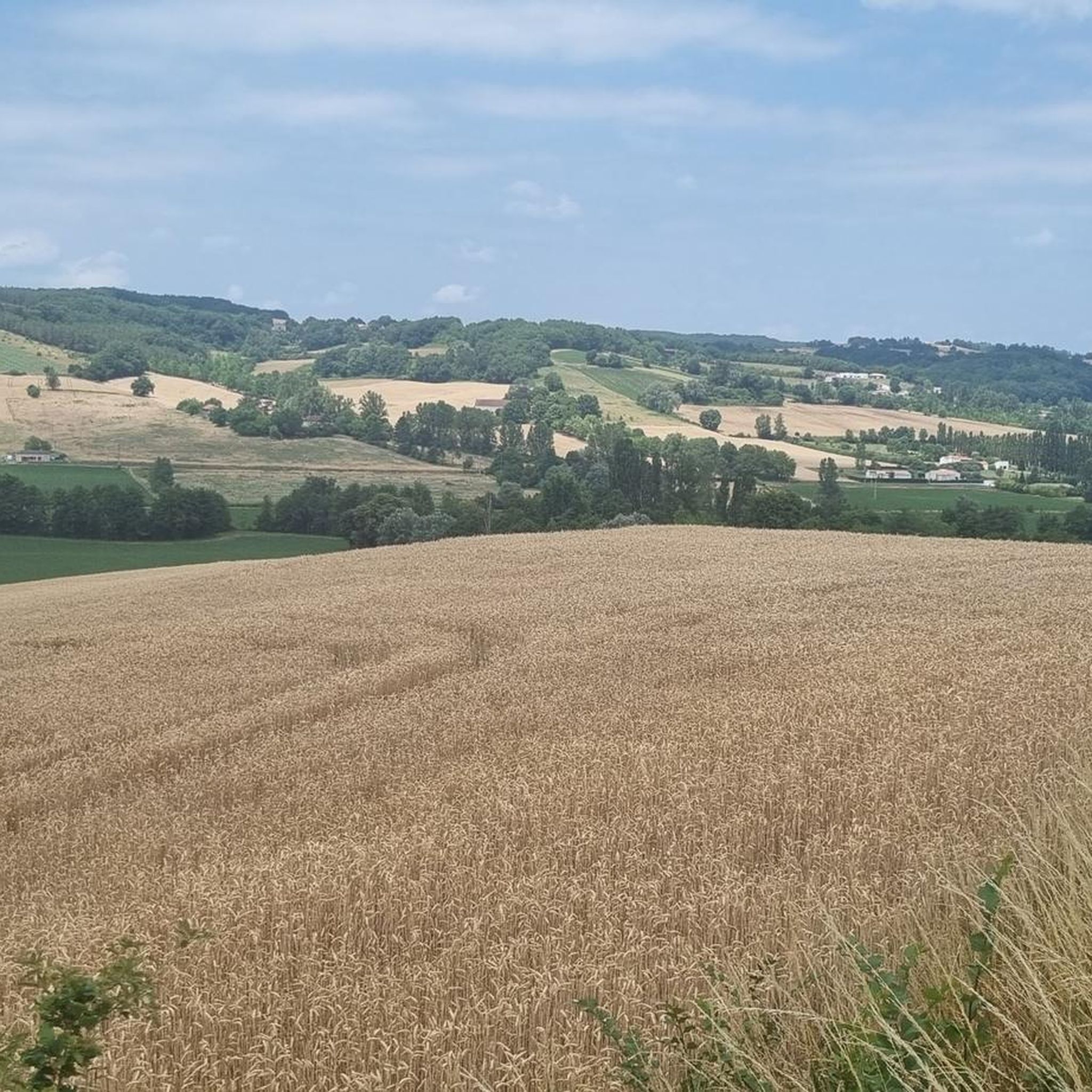
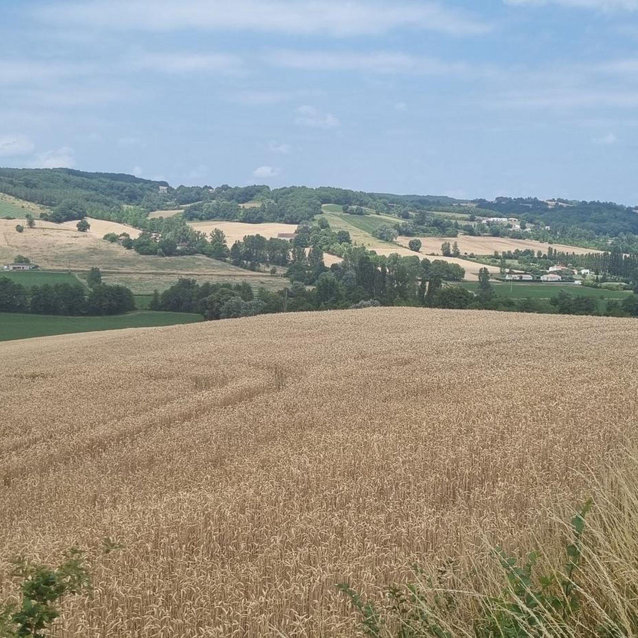
Road cycling around Dondas offers a diverse landscape characterized by varied terrains and natural features. The region presents challenging climbs and descents, particularly around escarpment areas, alongside routes through rolling countryside. Cyclists can explore picturesque valleys and pastoral landscapes, providing a range of experiences for different skill levels.
Best road cycling routes around Dondas
- The most popular road cycling route is Roquecor – Roquecor town center loop from La Sauvetat-de-Savères, a 37.2 miles (59.9 km) trail that takes 2…
Last updated: August 23, 2026
19
riders
50.2km
02:21
410m
410m
Moderate road ride. Good fitness required. Mostly well-paved surfaces and easy to ride.
13
riders
94.5km
04:38
1,060m
1,050m
Hard road ride. Very good fitness required. Mostly well-paved surfaces and easy to ride.

Sign up for free
12
riders
59.9km
02:40
460m
460m
Moderate road ride. Good fitness required. Mostly well-paved surfaces and easy to ride.
12
riders
33.7km
01:38
350m
350m
Moderate road ride. Good fitness required. Mostly well-paved surfaces and easy to ride.
10
riders
49.9km
02:17
340m
340m
Moderate road ride. Good fitness required. Mostly well-paved surfaces and easy to ride.
Get access to more routes and recommendations from other explorers.
Sign up for free
Already have an account?
Our route recommendations are based on thousands of hikes, rides, and runs completed by other people on komoot.
Start today with a free account
Your next adventure awaits.
Login or Signup


Tips from the Community

Tournon-d'Agenais is a magnificent royal bastide from the 13th century, listed among the Most Beautiful Villages of France. The site first served as a Celtic oppidum and then as a Gallo-Roman trading post. A first inhabited center developed in the 12th century. The foundation (1271): The royal bastide was officially founded by Philip III the Bold (son of Saint Louis), continuing the work of Alphonse de Poitiers. Located on the border of French and English spheres of influence, it suffered heavy assaults during the Hundred Years' War and the Wars of Religion.
0
0

Perched on a rocky spur overlooking the Séoune Valley, Puymirol is a fortified town founded in 1246, making it the oldest in Lot-et-Garonne. Its narrow streets lined with white stone houses and its central square surrounded by arcades reflect its rich medieval past.
0
0
Tournon-d'Agenais is one of the "Most Beautiful Villages of France." This former royal fortified town is home to charming little streets and offers breathtaking views of the Lot Valley.
0
0

Saint-Maurin is located in the hollow of a green valley where the Escorneboeuf flows. To see: its half-timbered houses, its market hall, the remains of the Benedictine abbey from the 11th and 12th centuries and its abbey castle built in 1500.
0
1
The construction of Saint-Maurin Abbey dates from the end of the 11th century, following its affiliation with Moissac Abbey and the Benedictine order. This large monastic ensemble spread out to numerous surrounding churches and priories, as many possessions which showed its influence and importance within a radius of 20 kilometers. Ruined then restored several times during the Hundred Years' War and during the Wars of Religion, it was during the Revolution that the buildings were sold in batches. Today, you can still admire the choir of the old abbey church as well as two chapels, the cloister, the convent buildings, the abbey castle and its gardens.
0
0
Overlooking the valley from its promontory, the town of Beauville seems to be one with the rock. To see: the corner square, surrounded by stone and half-timbered houses, the Saint-Jacques church, dating from the 14th century (with its Renaissance door and the bell tower-porch). It is said that during the Hundred Years' War, Beauville, formerly called Boville (city of the Ox), triumphantly resisted the attacks of the English.
0
0
Old fortified castle, located on a rocky promontory, defending the village of Beauville. It is made up of thick surrounding walls, a protective half-moon. The foundations and bases date from the end of the 13th century. About half of the building dates from the 16th century (mullioned windows). The Renaissance architecture is present in the front door and the fireplaces. Finally, a wing of the building was rebuilt in the 19th century. From 1831 to 1976, the building served as a gendarmerie barracks. Private castle. Can only be seen from the outside. By the way, don't forget to enjoy the beautiful views outside from this high vantage point.
0
0
Combebonnet would have originally been the center of a rural exploitation. To defend it, its owner would have built a small fortress. The original castle had the shape of a right triangle whose east and west angles were topped with cantilevered watchtowers. Two of the sides were naturally fortified. At the end of the 13th or beginning of the 14th century, a square tower armed with cross pattée loopholes was added to the north corner. The castle was remodeled and enlarged at the end of the 15th or beginning of the 16th century. It was perhaps at this time that buildings, now demolished, were attached to the east, and a chapel was built as well as the enclosure which defended some houses. In the 17th century, the castle was extended on the north side. The two semi-circular portals decorated with columns, giving access to the courtyard, date from this period. To the west stands a chapel with a flat apse.
0
0
Frequently Asked Questions
How many road cycling routes are available in Dondas?
Dondas offers a wide selection of road cycling routes, with over 120 tours available. These range from easy rides to more challenging routes, catering to various skill levels.
What kind of terrain can I expect when road cycling in Dondas?
Road cycling in Dondas features diverse terrain, including challenging climbs and descents, particularly around escarpment areas. You'll also find routes through rolling countryside and picturesque valleys, offering a mix of physical tests and scenic beauty.
Are there challenging road cycling routes in Dondas?
Yes, Dondas is known for its challenging climbs, with 15 routes specifically graded as difficult. The region's escarpment areas, like those found in the Niagara Escarpment, provide significant elevation gains, making it a popular training ground for experienced cyclists.
Are there easier road cycling routes for beginners in Dondas?
Absolutely. Dondas has 17 routes classified as easy, perfect for beginners or those looking for a more relaxed ride. These routes often traverse rolling countryside, providing a gentle introduction to the region's beauty.
What are the typical lengths of road cycling routes in Dondas?
Route lengths in Dondas vary significantly. For example, the Château de Combebonnet – Combebonnet Castle loop from La Sauvetat-de-Savères is about 24.7 miles (39.7 km), while the Moissac – Moissac Canal loop from La Sauvetat-de-Savères extends to nearly 56 miles (89.9 km).
Are there loop trails for road cycling in Dondas?
Many of the road cycling routes in Dondas are designed as loops, allowing you to start and finish in the same location. Examples include the Roquecor – Roquecor town center loop from La Sauvetat-de-Savères and the Caudecoste – The Garonne loop from La Sauvetat-de-Savères.
What natural features can I see while road cycling in Dondas?
The region offers magnificent panoramic views, especially after conquering climbs. You can expect to see the picturesque Dundas Valley, rolling countryside, and potentially sections along the Garonne Lateral Canal.
Are there any historical landmarks or points of interest along the road cycling routes in Dondas?
Yes, several routes pass by historical sites. You might cycle near the Château de Beauville or the Combebonnet Castle, offering glimpses into the region's heritage.
What do other road cyclists enjoy about Dondas?
The komoot community highly rates road cycling in Dondas, with an average score of 4.7 stars from over 16 reviews. Cyclists often praise the varied terrain, from challenging climbs to scenic routes through rolling countryside, and the rewarding views.
Is Dondas suitable for family-friendly road cycling?
With 17 easy routes available, Dondas can be suitable for families, especially those looking for less strenuous rides through the scenic countryside. It's advisable to check individual route details for specific difficulty and terrain to ensure it matches your family's comfort level.
What is the best time of year for road cycling in Dondas?
While specific seasonal data isn't provided, regions with varied landscapes like Dondas typically offer pleasant cycling conditions in spring and autumn when temperatures are moderate. Summer can also be enjoyable, though it's wise to start earlier to avoid the midday heat.
Most popular attractions around Dondas

Get inspired with the komoot mobile app


Explore more
Browse the best Road cycling routes in other regions.
