Top 4 Mountain Passes around Ria-Sirach
Best mountain passes around Ria-Sirach are located in the Catalan Pyrenees, within the Pyrénées-Orientales department. This region features mountainous landscapes and serves as an access point to various trails and natural attractions. The area is part of the Canigou Massif, offering diverse terrain. It provides routes that traverse mountainous terrain, combining scenic beauty with historical interest.
Best mountain passes around Ria-Sirach
- The most popular mountain passes is Roque Jalère Pass, a mountain pass that culminates at 991 meters. It…
Last updated: October 13, 2026
Jou Pass
Highlight • Mountain Pass
Translated by Google •
Tip by

Voltes Pass
Highlight • Mountain Pass
Translated by Google •
Tip by

Sign up now to discover places like this
Get recommendations on the best single tracks, peaks, & plenty of other exciting outdoor places.
Roque Jalère Pass
Highlight • Mountain Pass
Translated by Google •
Tip by

Col de Segalès
Highlight • Mountain Pass
Translated by Google •
Tip by
Start today with a free account
Your next adventure awaits.
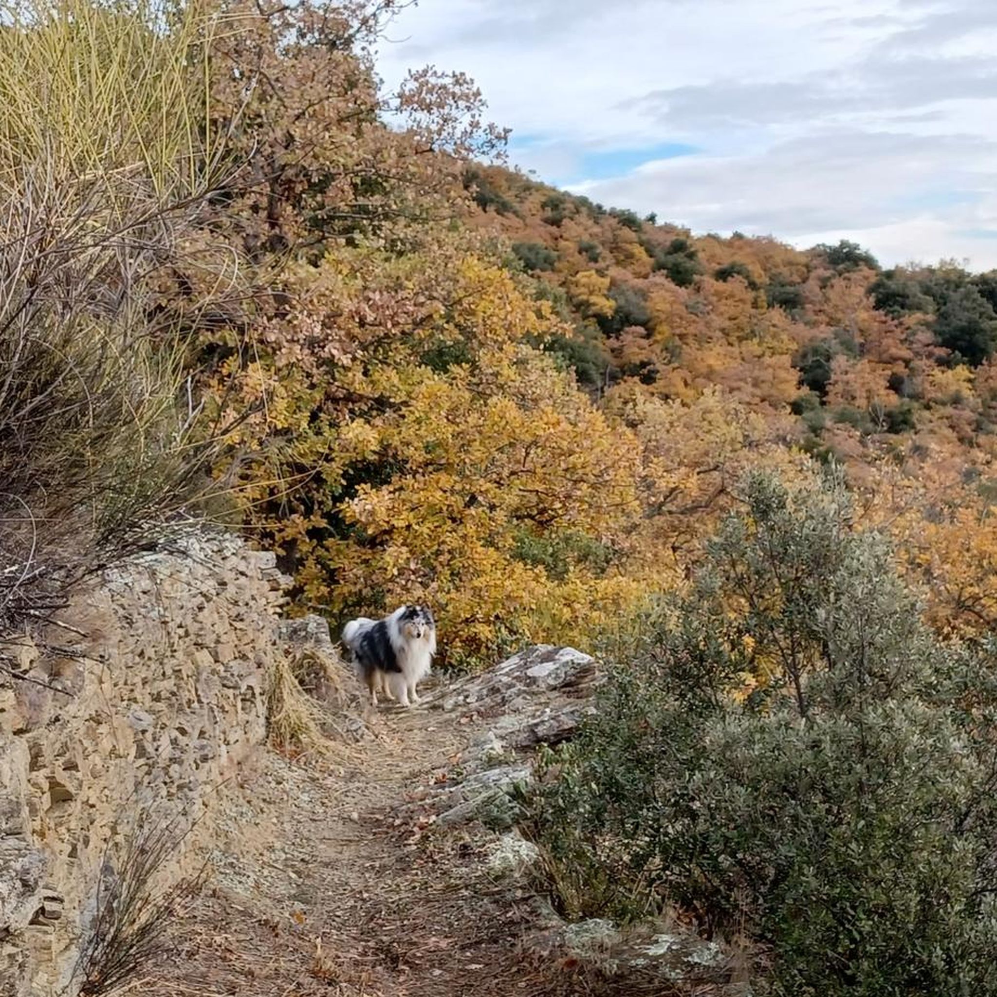
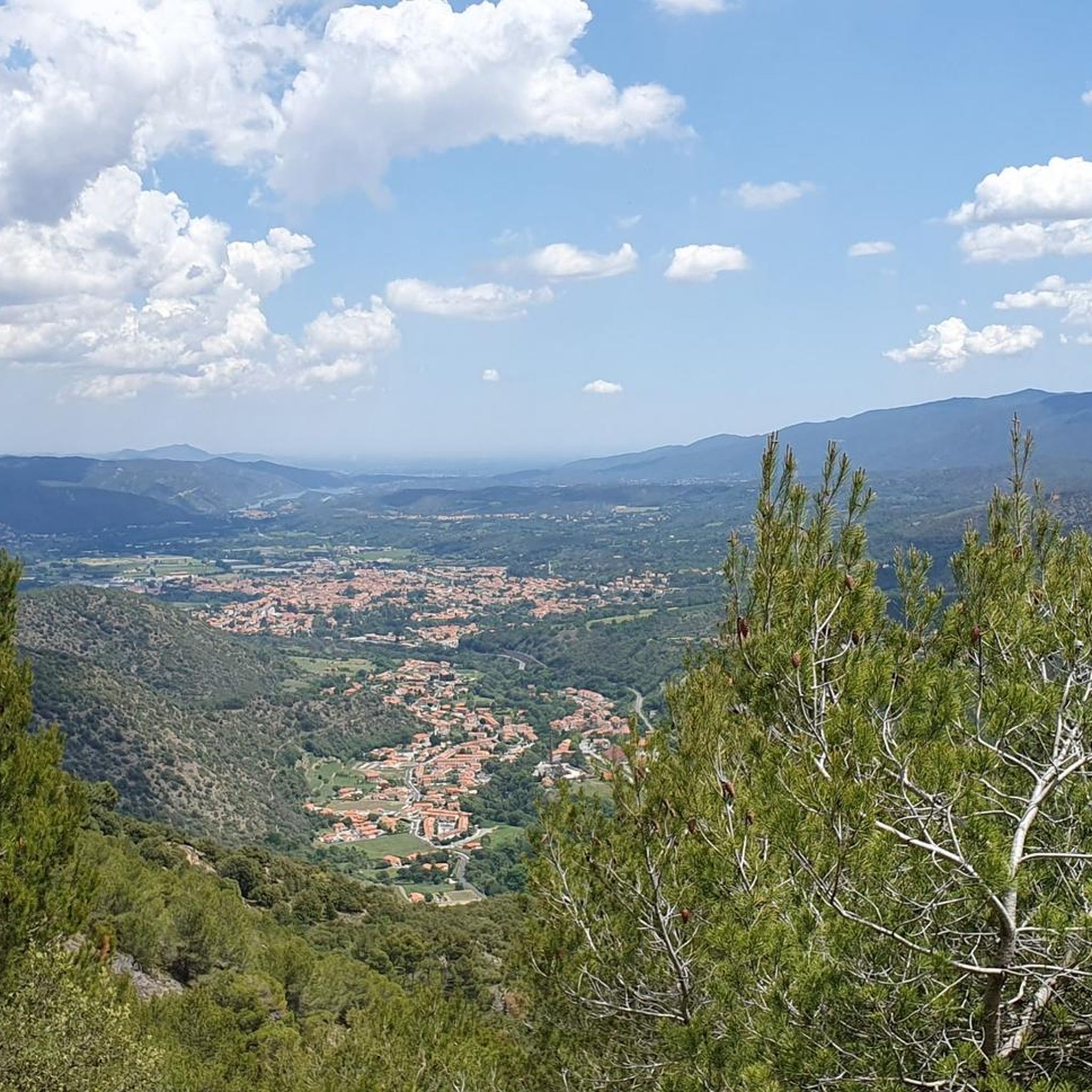
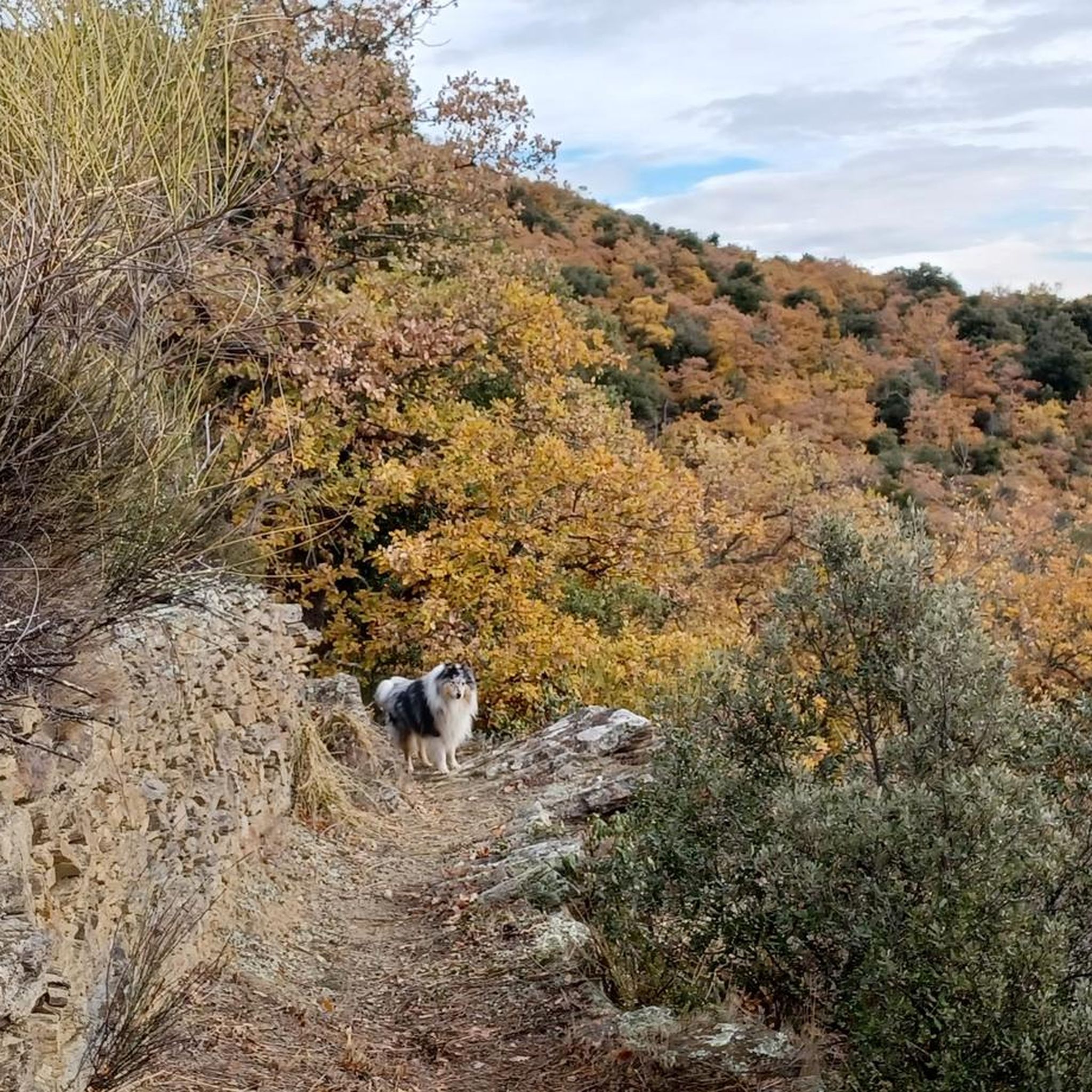
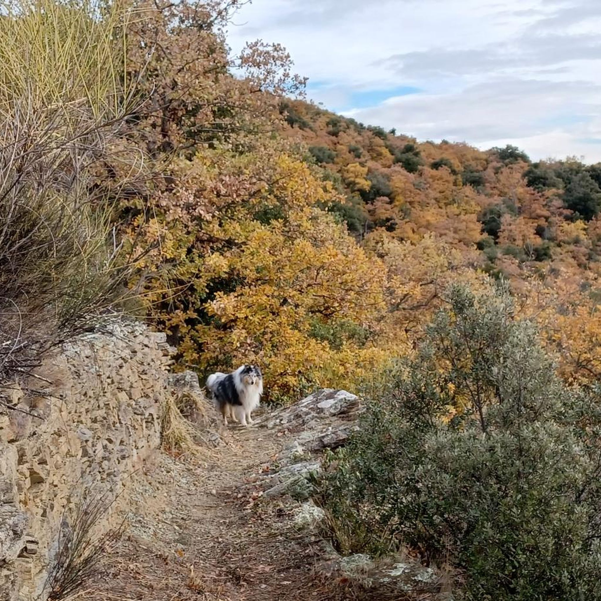

Tips from the Community

The Col de Jou from Villefranche de Conflent is a climb in the French Pyrenees. This climb is 11.4 kilometers long and has a positive elevation gain of 687 meters. The Col de Jou from Villefranche de Conflent has an average gradient of 6%.
15
0

A fairly difficult hike all the same for an occasional hiker because of the very rough ground and many steps. We tend to believe that we are marking time on the spot. Hiking equipment and water are essential. The descent is just as challenging. 960m of D+ Constant. Breathtaking viewpoint
1
0

Col des Voltes From here it is another 3 km to the refuge des Cortalets
2
0

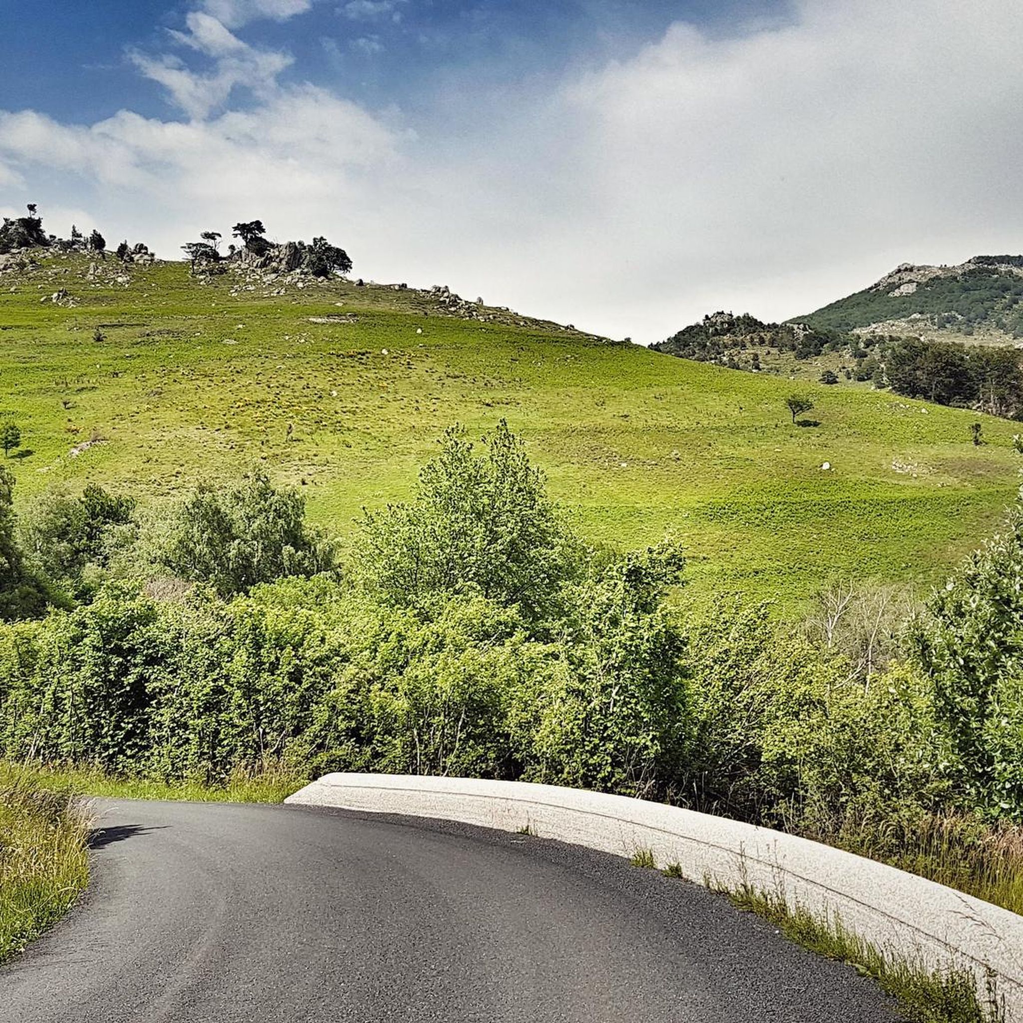
This walking pass forms what we call a saddle. And we understand why by looking at the map, since it is located at the end of an elongated projection of the massif. It allows you to go back down to the country of Conflent or to continue around the Canigou massif.
0
0
The Col de Jou peaks at an altitude of 1,125 meters. It is a well-known rallying point for local hikers. Indeed, the GR 10 passes through there, and it is the starting point for many hikes including the one that connects Canigou peak.
1
0

The Col de Jou on the route of the GR10 offers very beautiful panoramas.
0
0

The Col de Jou is the starting point for the hike to the Mariaille refuge and the mythical Pic du Canigou by the fireplace. It is also the obligatory passage to reach the Tower of Goa with a 360 ° view
3
0

Departure: Villefranche de Conflent Length: 11.41 km Gradient: 692 m % Medium: 6.06% % Max: 12.0%
2
0
Frequently Asked Questions
What are some challenging mountain routes around Ria-Sirach?
For experienced hikers seeking a challenge, the Voltes Pass offers a difficult hike with very rough ground and many steps, peaking at 1838m altitude. Similarly, the Jou Pass is a well-known rallying point for local hikers, with the GR 10 passing through it and serving as a starting point for demanding hikes towards the mythical Pic du Canigou. The Le pas de l'Escale – Chapel of Bell Lloc loop from Ria-Sirach is another challenging trail, approximately 9.8 miles (15.8 km) long, typically taking over 5 hours to complete.
Are there any beginner-friendly mountain routes near Ria-Sirach?
While many routes in the region offer a moderate challenge, the area is highly rated for its diverse hiking opportunities, including accessible paths. For a moderate experience that combines natural beauty with cultural exploration, consider the Soula Aqueduct Bridge – L'abbye loop from Ria-Sirach, which is 5.0 miles (8.1 km) and takes about 2 hours and 14 minutes. This route provides a good introduction to the mountainous terrain without being overly strenuous.
What kind of views can I expect from the mountain passes in this region?
The mountain routes around Ria-Sirach offer breathtaking viewpoints across the Catalan Pyrenees. From Voltes Pass, you'll find a truly breathtaking panorama. The Roque Jalère Pass, culminating at 991m, provides a superb view of Mont Canigou. You can also expect beautiful views over the valleys and surrounding mountains from Col de Millères (842 m).
Are there family-friendly options for exploring the mountainous terrain around Ria-Sirach?
The region offers diverse terrain, and while specific 'family-friendly' passes aren't explicitly highlighted, many trails can be adapted. The Soula Aqueduct Bridge – L'abbye loop is a moderate option that might be suitable for families looking for a shorter, less strenuous hike with historical interest. Always check the specific trail details and difficulty before heading out with children.
Can I bring my dog on trails near the mountain passes?
Generally, dogs are welcome on many trails in the natural areas around Ria-Sirach, especially if kept on a leash. However, it's always best to check local regulations or specific trail guidelines before you go, as some protected areas or private lands may have restrictions. Ensure your dog is well-behaved and that you carry waste bags to maintain the pristine environment.
What is the best time of year to visit the mountain passes around Ria-Sirach?
The spring and autumn months are generally ideal for hiking and exploring the mountain routes around Ria-Sirach, offering pleasant temperatures and vibrant scenery. During summer, some passes like Roque Jalère Pass are preferable to do in the off-season to avoid heatstroke. Winter can bring snow and colder conditions, making some routes more challenging or inaccessible without proper gear.
Are there opportunities for cycling near the mountain passes?
Yes, the region around Ria-Sirach is excellent for cycling. You can find various routes for road cycling, touring bicycles, and even traffic-free bike rides. Explore options like the 'Roque Jalère Pass – Arboussols loop' for road cycling or the 'Mas Malet – Voltes Pass loop' for traffic-free rides. For more details, check out the Road Cycling Routes around Ria-Sirach, Cycling around Ria-Sirach, and Traffic-free bike rides around Ria-Sirach guides.
What historical or cultural sites can I find near these mountain routes?
The area around Ria-Sirach is rich in history. The Soula Aqueduct Bridge – L'abbye loop offers views of historical structures. The Chapel of Bell Lloc – Fort Libéria loop leads through varied terrain and historical sites, providing a blend of natural scenery and historical significance. These routes allow visitors to explore the cultural richness of the Catalan Pyrenees.
Where can I find less crowded mountain routes around Ria-Sirach?
While the region is popular, especially for its hiking, exploring routes during weekdays or outside of peak tourist seasons (summer holidays) can help you find quieter experiences. Many of the trails, even those leading to well-known spots like the Jou Pass, offer a sense of wildness, particularly if you venture onto less-trafficked paths that branch off the main routes.
Are there any circular walks available in the mountainous areas?
Yes, the region offers several circular walks that allow you to experience diverse landscapes. Examples include the Le pas de l'Escale – Chapel of Bell Lloc loop, the Soula Aqueduct Bridge – L'abbye loop, and the Chapel of Bell Lloc – Fort Libéria loop, all starting from Ria-Sirach. These loops provide engaging experiences combining natural beauty and historical interest.
What are the typical durations for hikes on these mountain routes?
Hiking durations vary significantly depending on the route's difficulty and length. For instance, the challenging Le pas de l'Escale – Chapel of Bell Lloc loop typically takes around 5 hours and 33 minutes. A moderate route like the Soula Aqueduct Bridge – L'abbye loop can be completed in about 2 hours and 14 minutes. Always check the estimated time for your chosen route and factor in breaks and your own pace.
What outdoor activities, besides hiking, can I do near the mountain passes?
Beyond hiking, the mountainous terrain around Ria-Sirach is excellent for various cycling activities, including road cycling, touring, and traffic-free bike rides. The region's diverse landscapes also make it suitable for trail running. You can find detailed guides for these activities, such as Road Cycling Routes around Ria-Sirach and Cycling around Ria-Sirach, to plan your adventures.
Most popular routes around Ria-Sirach
Most popular attractions around Ria-Sirach

Get inspired with the komoot mobile app


Explore more
See even more epic mountain passes by checking out these guides around Ria-Sirach:
