The 7 Most Amazing Peaks around Ria-Sirach
Best mountain peaks around Ria-Sirach are found in the Pyrénées-Orientales department of southern France, a region known for its diverse mountain landscapes. Ria-Sirach is strategically positioned within the Conflent region, bordered by Mont Canigou to the south and the Massif de Madrès to the north. This location provides access to significant peaks offering panoramic vistas and varied hiking experiences. The area features both high-altitude summits and more accessible local points of interest.
Best mountain peaks around Ria-Sirach
- The most popular…
Last updated: October 9, 2026
Canigou
Highlight • Summit
Showing Translation
Tip by

Pic de la Pena
Highlight • Summit
Tour to the highlight: komoot.de/tour/340851629?ref=itd
Translated by Google •
Tip by

Sign up now to discover places like this
Get recommendations on the best single tracks, peaks, & plenty of other exciting outdoor places.
Joffre Peak
Highlight • Summit
Translated by Google •
Tip by

Shepherd's Hut of the Little Cortalets
Highlight • Mountain Hut
Translated by Google •
Tip by

Marbet Peak
Highlight • Summit
Translated by Google •
Tip by

Sign up for free to discover even more peaks around Ria-Sirach.
Already have an account?
Start today with a free account
Your next adventure awaits.

Tips from the Community

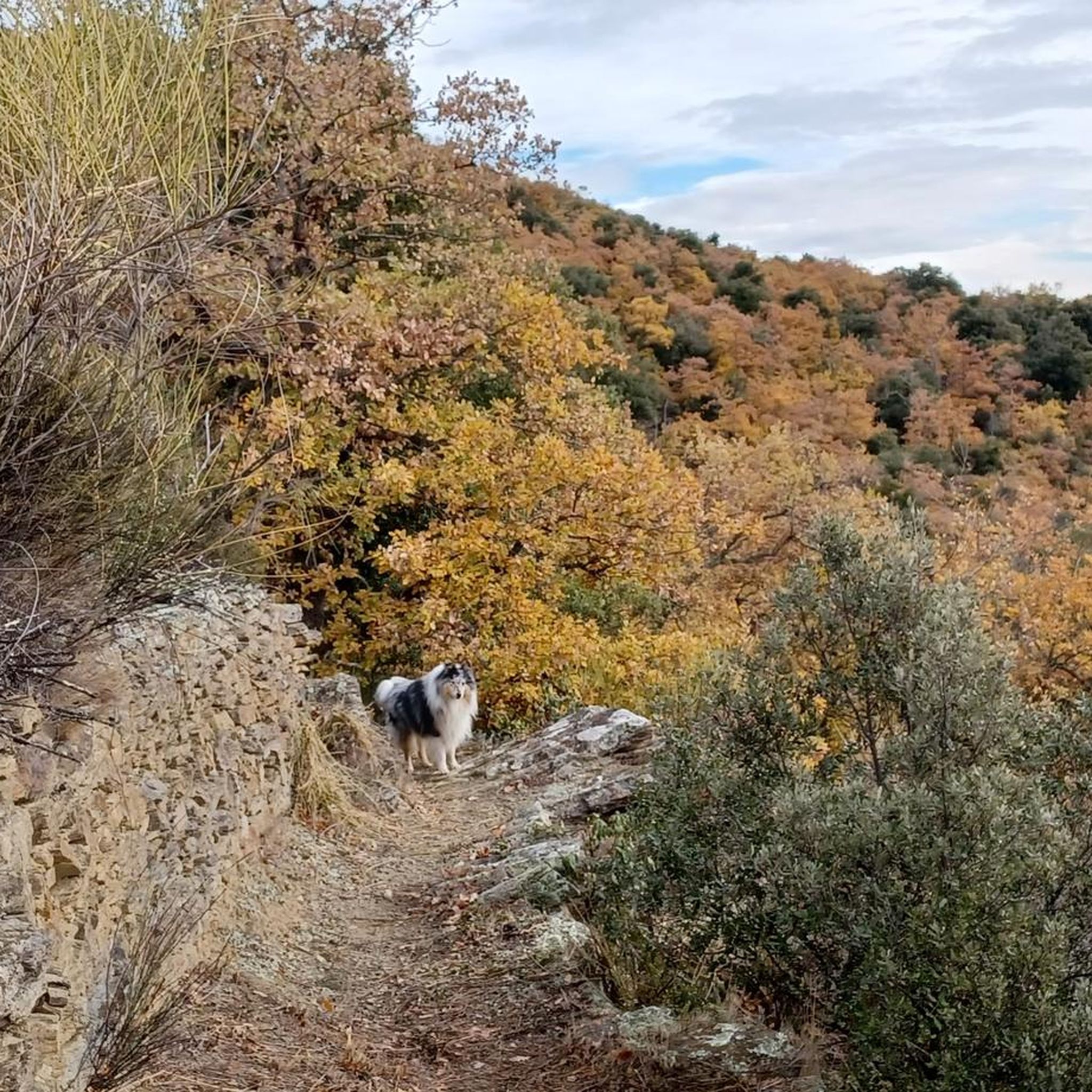
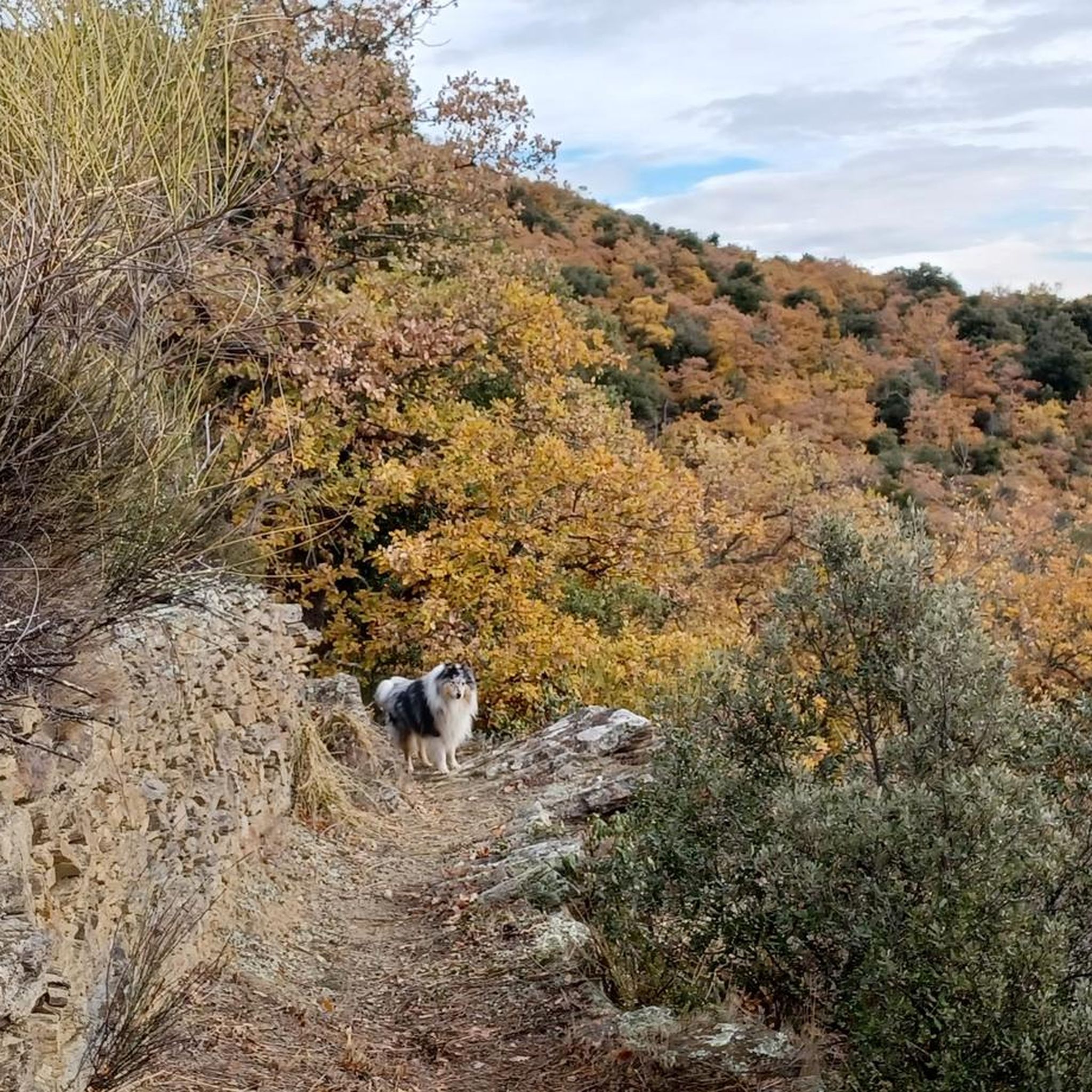
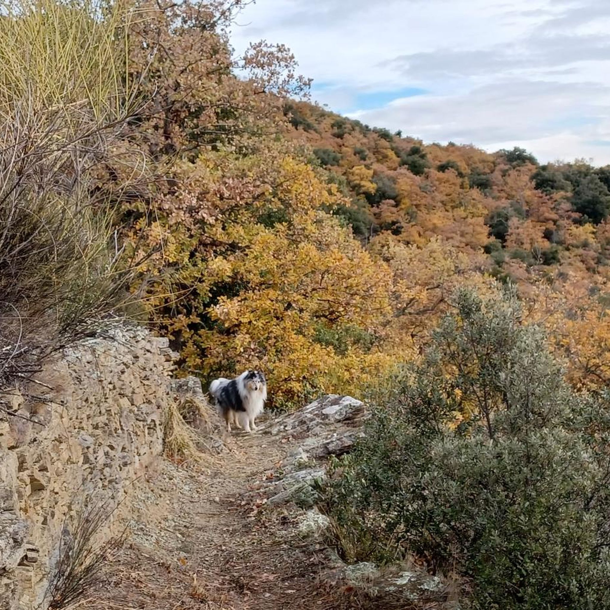
Keep your eyes open, we saw marmots above the refuge!
0
0

Generally shaded, this loop can be done in hot weather.
0
0

The classic and probably most visited peak in the eastern Pyrenees. Due to its location, this mountain can be seen far into France. The gravel road to the Ras dels Cortalets parking lot requires good shock absorbers (please correct if driving there is no longer permitted). From there, it's only another 600 meters in altitude via Pic Joffre to the summit. The second ascent from the south is a bit more demanding - which also makes a traverse possible.
2
3

Magnificent summit, one of the emblems of Catalonia, the ascent and descent made by the famous chimney more impressive than difficult
0
0

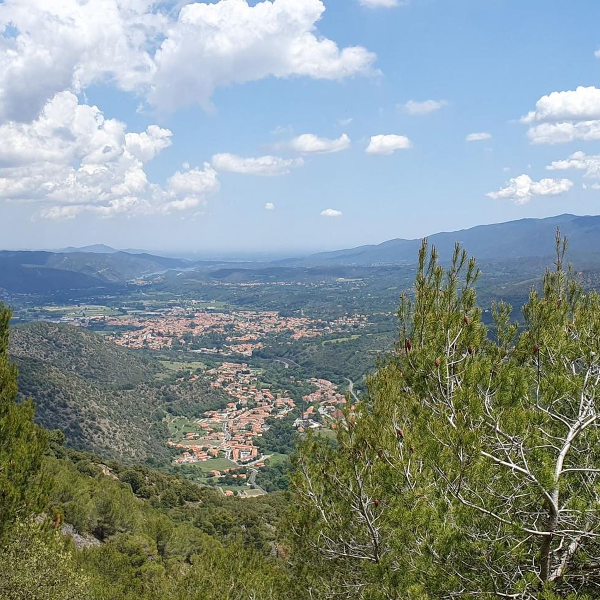
The Marbet peak culminates at 726 meters above sea level. It offers beautiful panoramas of the Baronnies, the Puig de les Feixes and the villages of the Têt valley.
0
0

Pic Joffre culminates at an altitude of 2,632 meters in the Canigou massif. It is located between the Cortalets refuge and the Canigou peak.
0
1

The Pic du Canigou is a summit in the Pyrénées-Orientales in the south of France. Reaching an altitude of 2,784 meters, it is located in the Parc Naturel Régional des Pyrénées Catalanes, about 50 kilometers from the city of Perpignan. The Pic du Canigou is considered a symbol of Catalonia, with a legend that the mountain is the throne of the King of Catalonia. It is also considered a sacred place for Catalans, with a local tradition of climbing the mountain to watch the sunrise on the summer solstice. The mountain is a popular hiking destination, with several hiking trails leading to the summit. Hikers can also spend the night in mountain refuges located along the trails. In winter, the Canigou is also a place for cross-country skiing and snowshoeing. The summit of the Canigou offers a panoramic view of the Pyrenees and the Mediterranean Sea, as well as the city of Perpignan and the Roussillon plain. The region is also rich in flora and fauna, with species such as the Pyrenean chamois, the mouflon, and the golden eagle. The Pic du Canigou is an important pilgrimage site for Catalans, as well as a place for hiking and exploration for visitors to the region.
5
5

Frequently Asked Questions
What are the most iconic mountain peaks to explore near Ria-Sirach?
The most iconic peak is undoubtedly Canigou, often called the 'sacred mountain of the Catalans,' standing at 2,784 meters. It offers profound cultural heritage and breathtaking natural beauty. Another significant peak is Pic de Madrès in the Massif de Madrès, reaching 2,468 meters, known for its wilder, preserved environment and extensive panoramas.
Are there any challenging high-mountain hikes around Ria-Sirach?
Yes, the ascent of Canigou is a popular and rewarding high-mountain hike, generally taking one to two days. It requires good health and general hiking ability, with some routes involving climbing 'chimney' rocks. The hike to Pic de Madrès is also considered very difficult, often taking around 8 hours for a 16.2 km route with over 1000m elevation gain.
What kind of views can I expect from the mountain peaks near Ria-Sirach?
From the summit of Canigou, you are rewarded with extraordinary views stretching across the Roussillon plain, the Pyrenean ridges, and the Mediterranean Sea. Pic de la Pena, at 1,062 meters, also offers a magnificent panorama. Pic de Madrès provides 360° panoramas over the surrounding territory, while Marbet Peak offers beautiful views of the Baronnies, the Puig de les Feixes, and the Têt valley.
Are there any family-friendly or beginner-friendly mountain routes near Ria-Sirach?
While the highest peaks like Canigou are challenging, Ria-Sirach itself offers numerous local hiking and walking trails that provide diverse landscapes and views, some overlooking the iconic Canigou. These local trails are generally more accessible for families and beginners. For a historical local 'peak,' you can visit the site of Castell d'Arria within the commune, which offers local views and historical interest.
What wildlife can I expect to see on the mountain peaks around Ria-Sirach?
The Massif de Madrès is known for its wildlife, where hikers can encounter izards (Pyrenean chamois), birds of prey, and marmots, particularly along the Castellane river. The Shepherd's Hut of the Little Cortalets is also a known spot where marmots like to romp on the meadow above.
What is the cultural significance of Mont Canigou?
Mont Canigou is known as the 'sacred mountain of the Catalans' and holds deep cultural importance for the region, considered the spiritual home of Catalan identity. Catalans from both French and Spanish Catalonia gather here for the summer solstice. The mountain is also home to the Romanesque Abbey Saint-Martin du Canigou at its base, a historical and tranquil site.
Are there any historical sites related to mountain peaks in Ria-Sirach?
Yes, within the commune of Ria-Sirach, the rocky peak where the Castell d'Arria once stood is historically significant. Although only traces remain, it is known as the birthplace of Guifred el Pelut (Wilfred the Hairy), a key figure in Catalan history. The Catalan flag is proudly displayed at its summit today, offering a symbolic connection to Catalan heritage.
What is <a href="https://www.komoot.com/highlight/885310" target="_blank" rel="noopener">Joffre Peak</a> and how does it relate to <a href="https://www.komoot.com/highlight/885205" target="_blank" rel="noopener">Canigou</a>?
Joffre Peak culminates at 2,632 meters within the Canigou massif. It is a striking landmark on the classic route to Canigou, situated between the Cortalets refuge and the main Canigou peak. It's often encountered by hikers on their way to the summit of Canigou.
What outdoor activities can I do near the mountain peaks around Ria-Sirach?
Beyond hiking the peaks themselves, the region offers a variety of outdoor activities. You can find numerous cycling routes, including challenging ones like the 'Former Marcevol Priory – Arboussols loop' or 'Col de la Llose – Col de la Llose loop'. There are also running trails, such as the 'Chapelle Saint-Pierre loop', and MTB trails like the 'Voltes Pass – Les Sourdes Trail loop'. For more details, explore the Cycling around Ria-Sirach, Running Trails around Ria-Sirach, and MTB Trails around Ria-Sirach guides.
Are there any refuges or huts available for overnight stays during longer mountain hikes?
Yes, for longer ascents like Canigou, refuges such as Cortalets or Mariailles offer overnight stays. There is also the Shepherd's Hut of the Little Cortalets, which is an uncultivated hut with basic amenities like a barbecue, fresh water well, and fireplace, providing space for about 4 people.
What is the best time of year to hike the mountain peaks around Ria-Sirach?
The best time for high-mountain hiking, especially for peaks like Canigou, is typically from late spring to early autumn (June to September) when the weather is more stable and snow has largely melted from higher altitudes. However, the region's diverse peaks mean that lower-altitude trails can be enjoyed for much of the year. Winter conditions require specialized gear and experience.
What should I know about accessing the refuges for Mont Canigou?
It's important to note that access to refuges like Cortalets or Mariailles for Mont Canigou is no longer possible by motorized vehicle. This means the ascent must be done entirely on foot, which significantly increases the duration and difficulty of the hike, often taking between 10 and 12 hours to reach the summit from the base.
Most popular routes around Ria-Sirach
Most popular attractions around Ria-Sirach

Get inspired with the komoot mobile app


Explore more
See even more amazing summits around Ria-Sirach with these guides:
