The best road cycling routes around La Llagonne
4.3
(169)
11,708
riders
65
rides
Road cycling around La Llagonne is characterized by its diverse and dramatic landscapes within the Catalan Pyrenees. The region features mountainous terrain with numerous passes, extensive forested areas, and picturesque lakes. Cyclists can expect varied routes with quiet, scenic roads, winding slopes, and significant climbs, offering access to challenging Pyrenean cols.
Best road cycling routes around La Llagonne
- The most popular road cycling route is Col de la Llose from La Llagonne, a 9.3 miles (14.9 km) trail that…
Last updated: August 17, 2026
1
riders
14.9km
01:00
400m
400m
Cycle Towards the peak of la Tosse, a moderate 9.3-mile (14.9 km) road cycling route in the Parc Naturel Régional des Pyrénées Catalanes.
4.4
(5)
725
riders
101km
05:47
2,320m
2,320m
Hard road ride. Very good fitness required. Mostly well-paved surfaces and easy to ride.

Sign up for free
302
riders
83.3km
04:41
1,900m
1,900m
Hard road ride. Very good fitness required. Mostly well-paved surfaces and easy to ride.
5.0
(1)
232
riders
66.0km
03:48
1,520m
1,520m
Hard road ride. Very good fitness required. Mostly well-paved surfaces and easy to ride.
4.0
(2)
84
riders
25.6km
01:24
470m
470m
Moderate road ride. Good fitness required. Mostly well-paved surfaces and easy to ride.
Get access to more routes and recommendations from other explorers.
Sign up for free
Already have an account?
Our route recommendations are based on thousands of hikes, rides, and runs completed by other people on komoot.
Start today with a free account
Your next adventure awaits.
Login or Signup
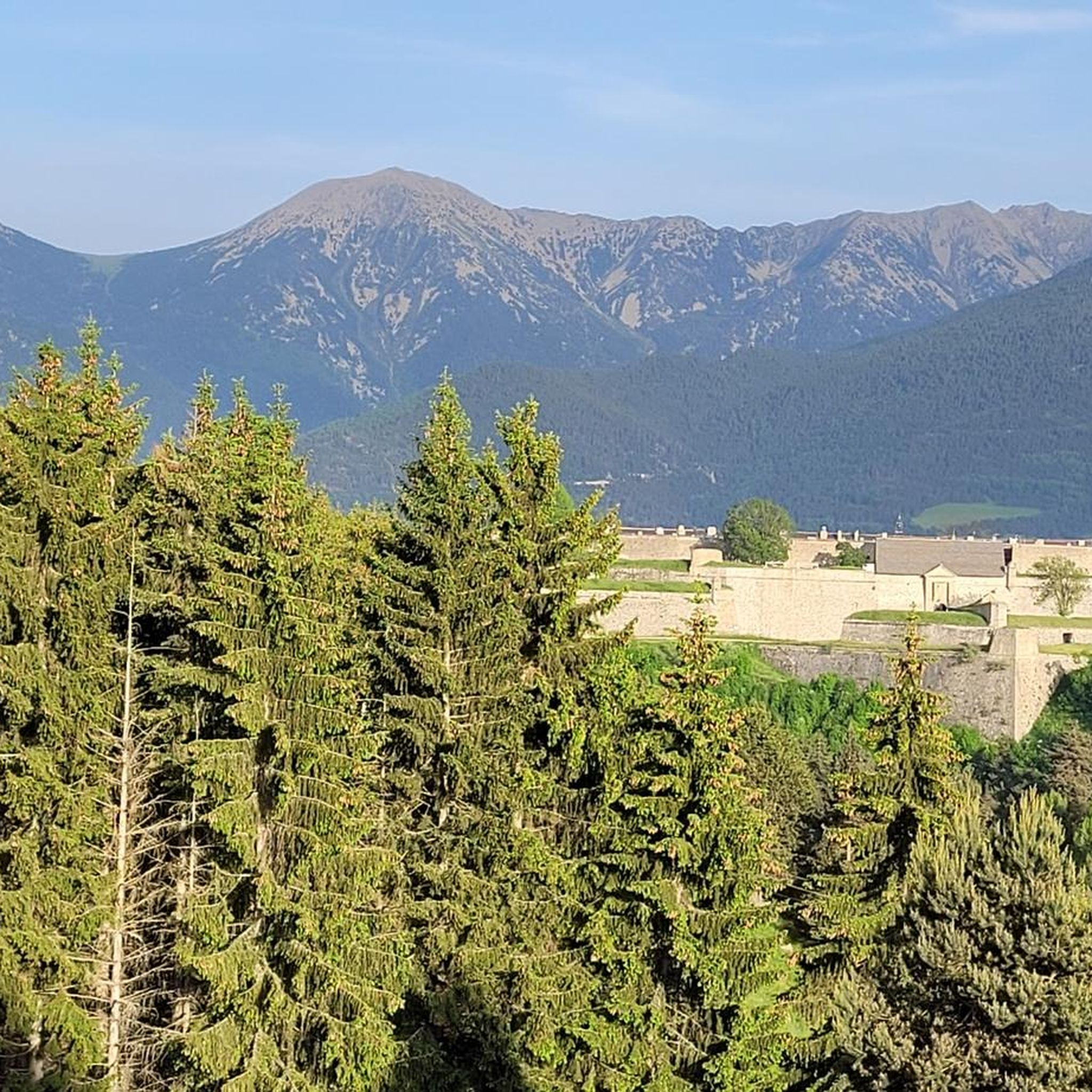
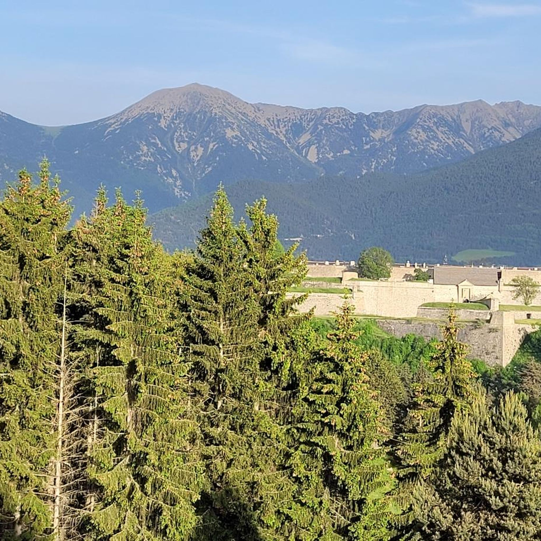
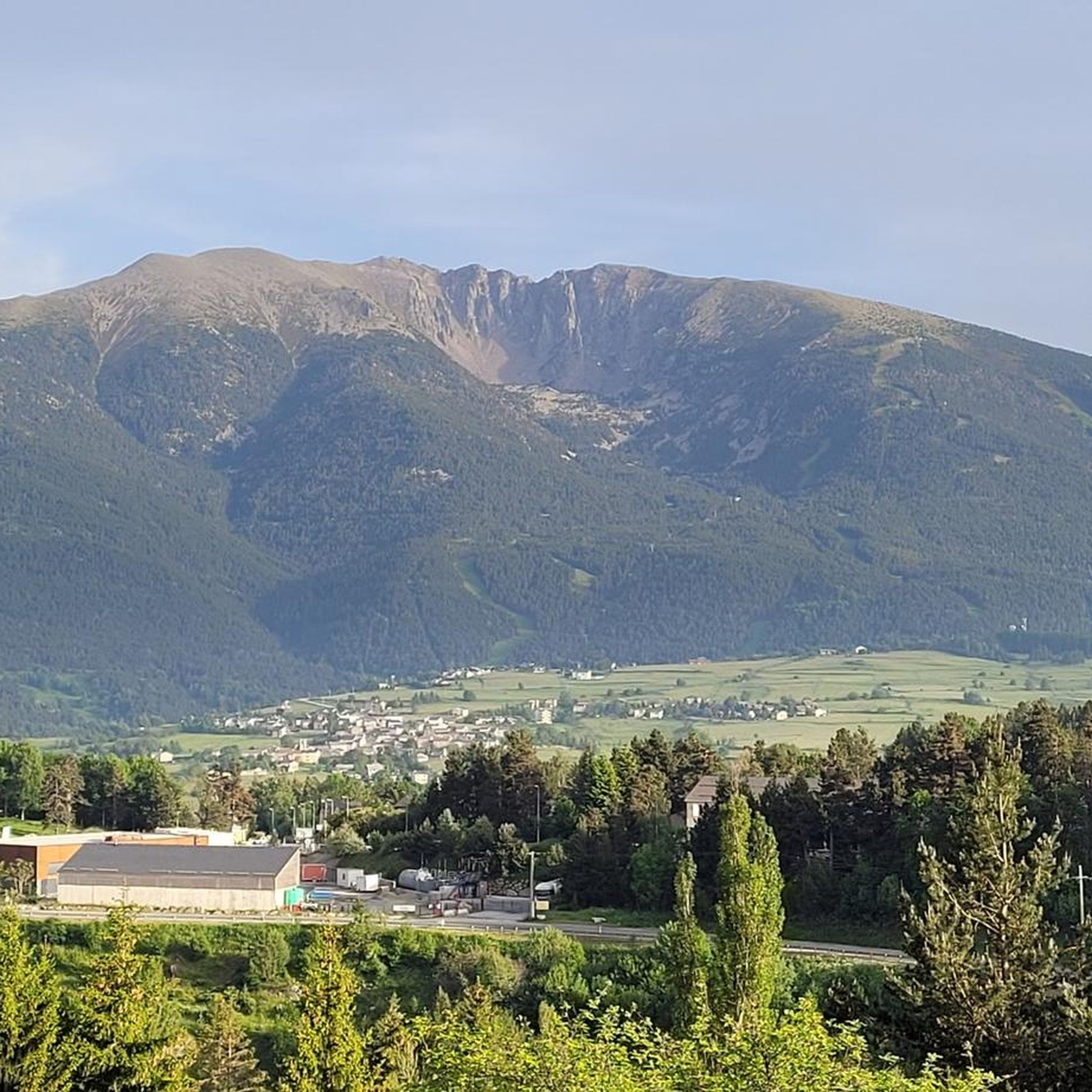
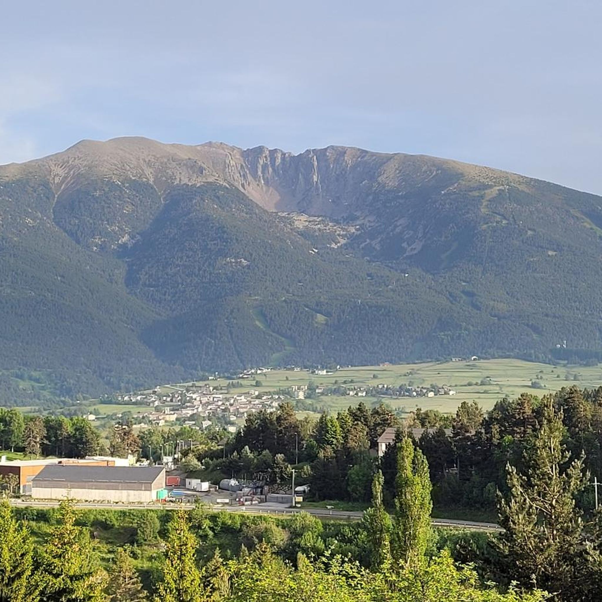
Tips from the Community

Quite a bit of traffic, but a pretty port, especially the final section.
0
0


Well, starting from Font Romeu and breaking legs from Mont Louis
0
0

A leisurely drive through the foothills of the Pyrenees, with the many spa towns of this region on the plateau in the background.
0
0

Absolutely great route for cyclists. One curve after another, uphill or downhill in a great scenic setting.
0
0

Although it is a climb that goes through a dense black pine forest, there are some moments where there are gaps that allow you to see the valley and the towns of Formigueres and Puyvalador.
0
0
It is a simply spectacular port that unites the regions of Conflent and Capcir. It is one of the most beautiful ports in the easternmost Pyrenees. It is very close to the Col de la Llosa, and you can take a circular route that is known as the "Route des Cols". It is also indicated on nearby road signs. The hardest slope is the one that begins in Olette (Conflent) and goes up through Aiguatèbia. There are almost 22 km of ascent and 1,089 meters of elevation gain. It has 3 very different zones: (1) the first is a constant 5 km at 7%; (2) the second is 10 km at 4% and with some very pleasant rest areas, with beautiful views; (3) The final part is 6 km on average at 7%, since it passes the town of Railleu, although the hard part is the last 3 km, with several ramps that exceed 10%. The road is narrow and has uneven asphalt, with hardly any cars and motorcycles. For me, the final part of this port is truly spectacular and should not be missed. The west slope begins in the town of Matamala (Capcir) and is 3 km with an average of close to 8%. It is a long irregular stretch along a narrow and very quiet road, with panoramic views of the valley when the thick black pine forest gives some opportunity.
0
0
Frequently Asked Questions
How many road cycling routes are available around La Llagonne, and what are their difficulty levels?
There are over 60 road cycling routes around La Llagonne. These routes cater to various skill levels, with 11 easy, 33 moderate, and 18 difficult options, ensuring there's a suitable ride for every cyclist.
What is the best time of year for road cycling in La Llagonne?
The Pyrenees region generally offers good cycling conditions year-round. However, spring (May, June) and autumn (September, October) are particularly recommended for road cycling around La Llagonne. During these months, you'll find quieter roads, pleasant temperatures, and spectacular autumnal colors.
Are there challenging road cycling routes for experienced cyclists in La Llagonne?
Yes, La Llagonne is situated in the Catalan Pyrenees, offering numerous challenging routes with significant climbs and mountain passes. For instance, the Mijanès – Col de la Perche (1,579 m) loop from Mont-Louis - La Cabanasse is a difficult 59.4-mile (95.6 km) path featuring substantial elevation gain and panoramic mountain views.
Are there any road cycling routes suitable for beginners or those looking for an easier ride?
Absolutely. While the region is known for its challenging terrain, there are also easier and moderate options. A great moderate route is the Col de la Llose from La Llagonne, a 9.3-mile (14.9 km) trail with a steady climb towards the Col de la Llose, perfect for those seeking a less strenuous ride.
What natural features or landmarks can I expect to see while road cycling around La Llagonne?
The region boasts diverse and dramatic landscapes. You'll encounter mountainous terrain, extensive forests, and picturesque lakes like Lac du Bouillouses and Lac de Matemale. Cyclists can also enjoy views of dramatic gorges, such as the Carança Corniche and the unique Footbridges of the Carançà Gorge. The imposing Col de la Perche (1,579 m) is another notable landmark you might cross.
Are there circular road cycling routes available in the La Llagonne area?
Yes, several routes are designed as loops, allowing you to start and end in the same location. An example is the Col de la Perche (1,579 m) – Llo Pass loop from Bolquère-Eyne, a 21.9-mile (35.2 km) trail that takes you through scenic mountain passes.
What do other road cyclists enjoy the most about road cycling in La Llagonne?
The road cycling routes around La Llagonne are highly rated by the komoot community, with an average score of 4.4 stars from over 100 reviews. Cyclists often praise the diverse and dramatic landscapes, the quiet and scenic roads, and the challenging climbs that offer breathtaking panoramas of the Catalan Pyrenees.
Are there any road cycling routes that offer particularly stunning viewpoints?
Many routes in the region provide spectacular views due to the mountainous terrain. The Pyrenees are renowned for their 'cols' (mountain passes) which offer breathtaking panoramas. Routes like the Col de la Perche (1,579 m) – Beautiful mountain road loop from Bolquère-Eyne will lead you through areas with expansive vistas.
Can I find routes that pass through or near other villages or towns for a break?
Yes, many routes connect various villages and towns in the region. For example, the Col de la Perche (1,579 m) – Font-Romeu loop from Bolquère passes through Font-Romeu, a popular town where you can find amenities and take a break.
What kind of terrain can I expect on the road cycling routes around La Llagonne?
You can expect a varied terrain characterized by mountainous landscapes, high-altitude passes, and extensive forested areas. The routes feature quiet, scenic roads, winding wooded slopes, and significant climbs, typical of the Pyrenean environment.
Is La Llagonne part of a larger natural park, and how does that affect cycling?
Yes, La Llagonne is situated within the Catalan Pyrenees Regional Nature Park. This expansive area is known for its open spaces, exceptional flora, and significant sunshine. Being within the park means you'll be cycling in a protected and beautiful environment, with well-maintained roads and a focus on preserving natural beauty.
Most popular routes around La Llagonne
Most popular attractions around La Llagonne

Get inspired with the komoot mobile app


Explore more
Browse the best Road cycling routes in other regions.
