The best running trails around Albepierre-Bredons
4.6
(23)
1,092
runners
15
runs
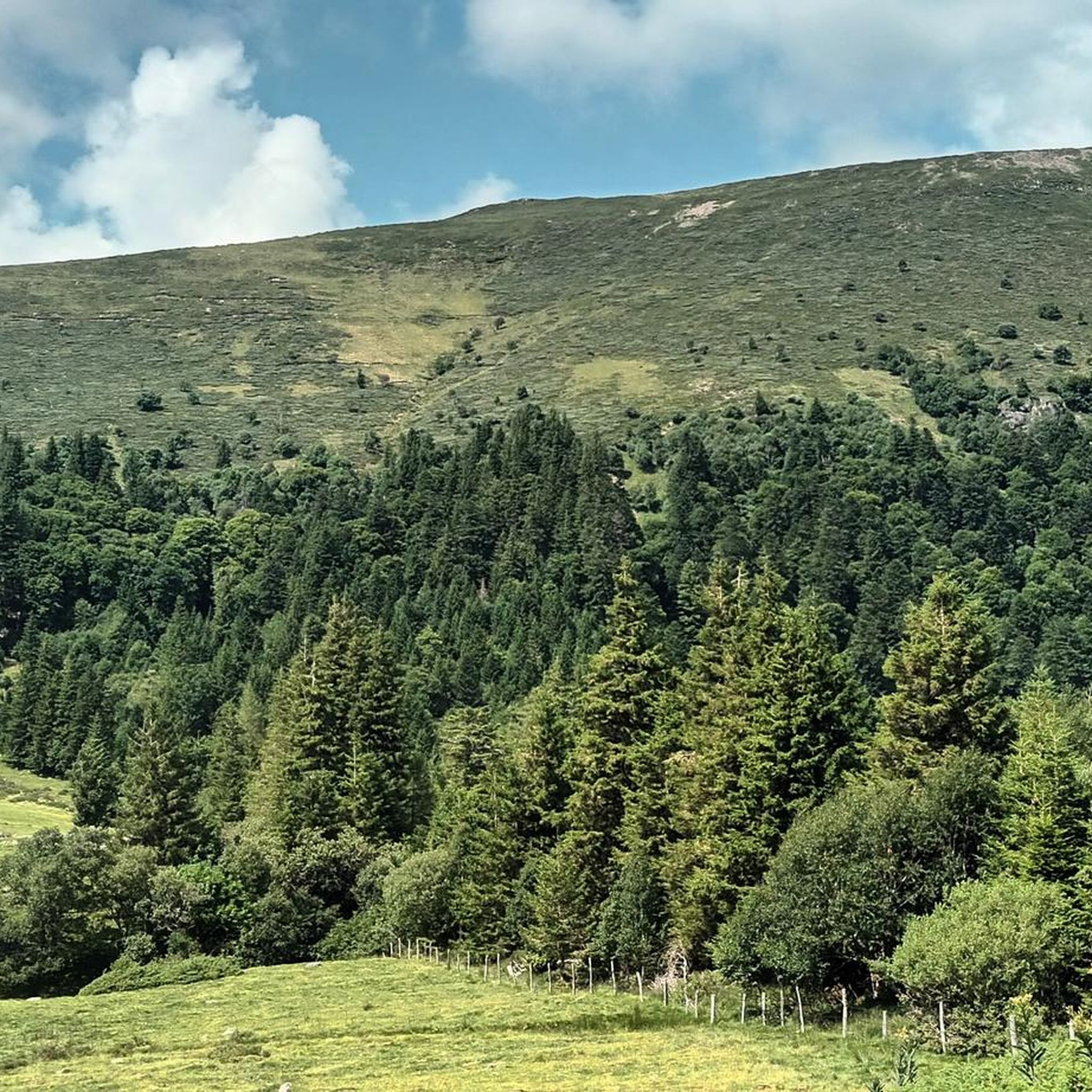
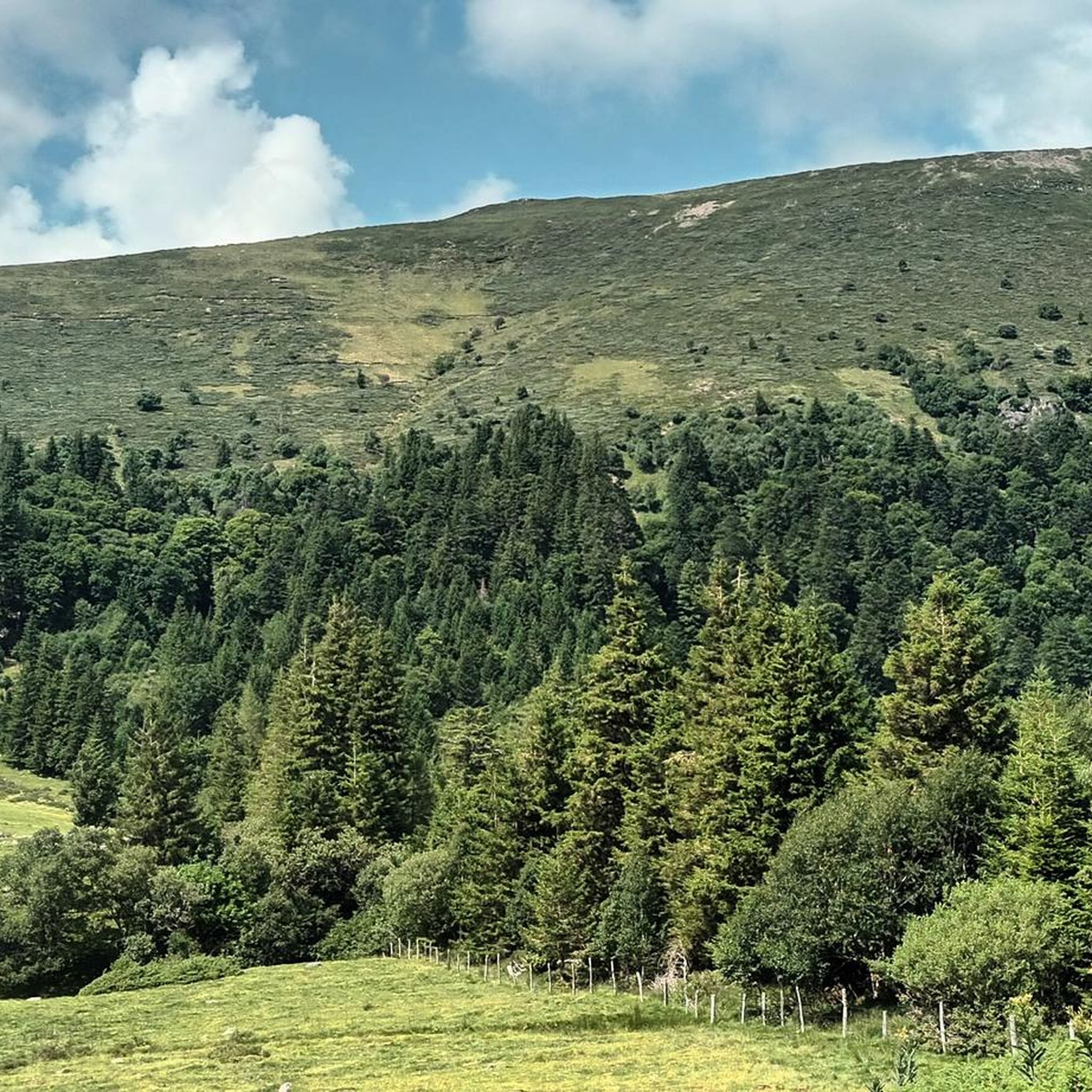
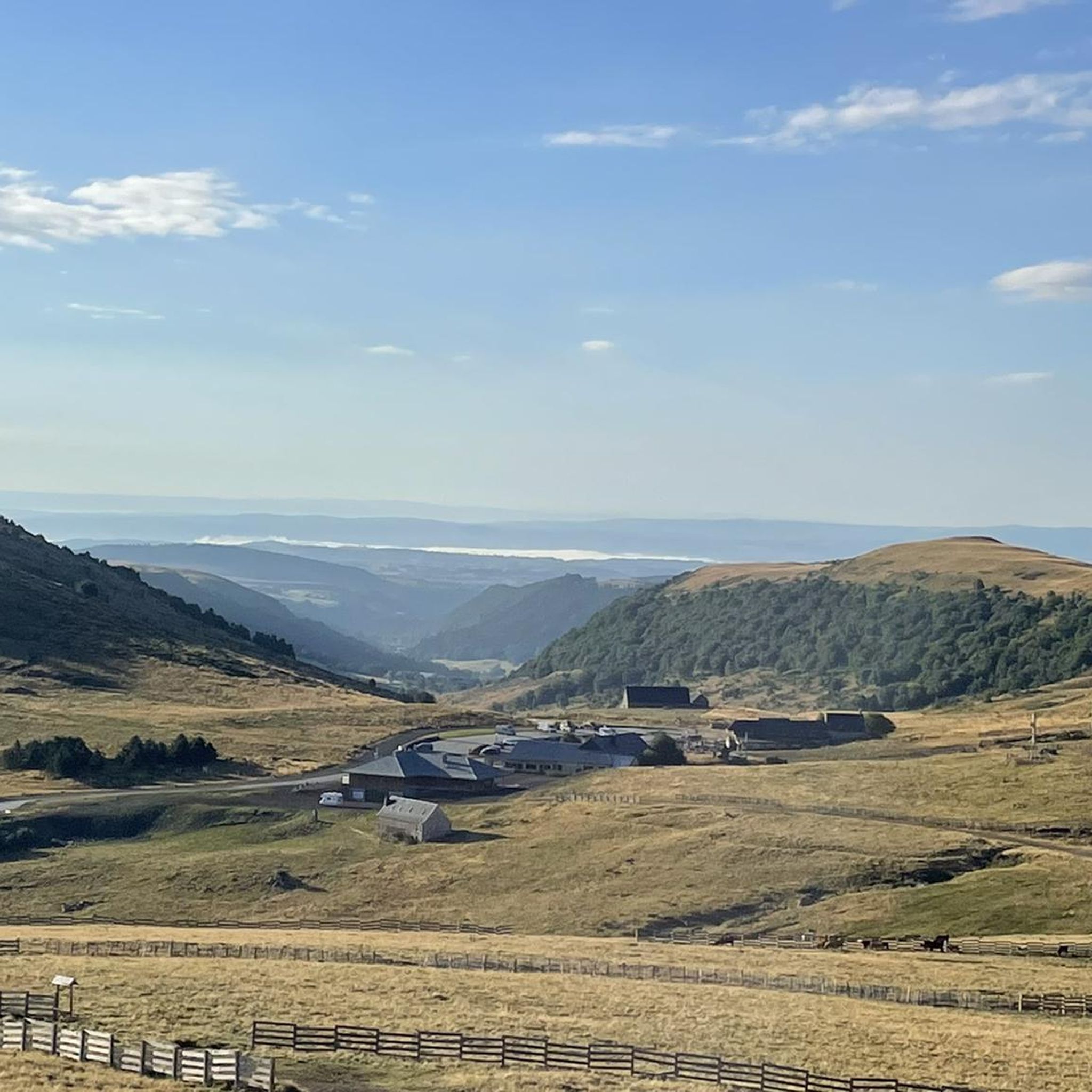
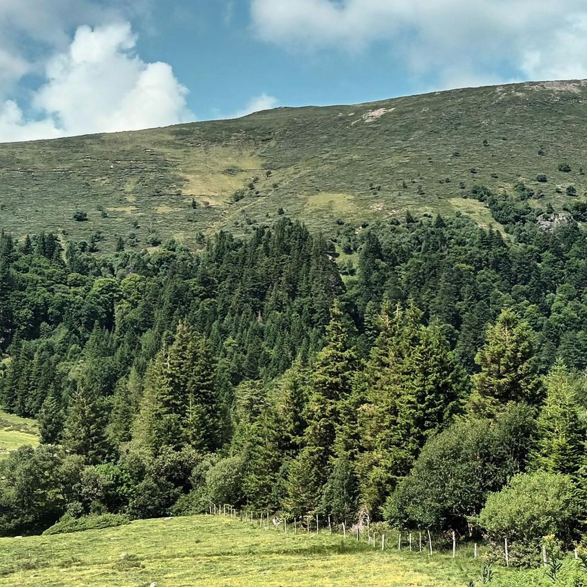
Jogging around Albepierre-Bredons offers diverse terrain within the Regional Natural Park of the Auvergne Volcanoes. The area features volcanic peaks, including the Plomb du Cantal, glacial cirques, and extensive forests. Numerous rivers and waterfalls add to the scenic variety, providing a range of running surfaces and inclines.
Best jogging routes around Albepierre-Bredons
- The most popular jogging route is Plomb du Cantal Loop from Prat de Bouc, a 5.2 miles (8.4 km) trail that takes 1 hour 15 minutes to…
Last updated: June 23, 2026
3.0
(1)
54
runners
8.41km
01:16
420m
420m
This difficult 5.2-mile (8.4 km) jogging loop to Le Plomb du Cantal summit offers intense uphill training and 360-degree volcanic views.
20
runners
17.3km
02:32
750m
750m
Hard run. Very good fitness required. Sure-footedness, sturdy shoes and alpine experience required.

Sign up for free
19
runners
11.6km
01:50
600m
600m
Hard run. Very good fitness required. Sure-footedness, sturdy shoes and alpine experience required.
13
runners
11.9km
01:29
400m
400m
Hard run. Very good fitness required. Mostly paved surfaces. Suitable for all skill levels.
5
runners
17.1km
02:30
790m
800m
Hard run. Very good fitness required. Sure-footedness, sturdy shoes and alpine experience required.
Get access to more routes and recommendations from other explorers.
Sign up for free
Already have an account?
Our route recommendations are based on thousands of hikes, rides, and runs completed by other people on komoot.
Start today with a free account
Your next adventure awaits.
Login or Signup
Popular around Albepierre-Bredons
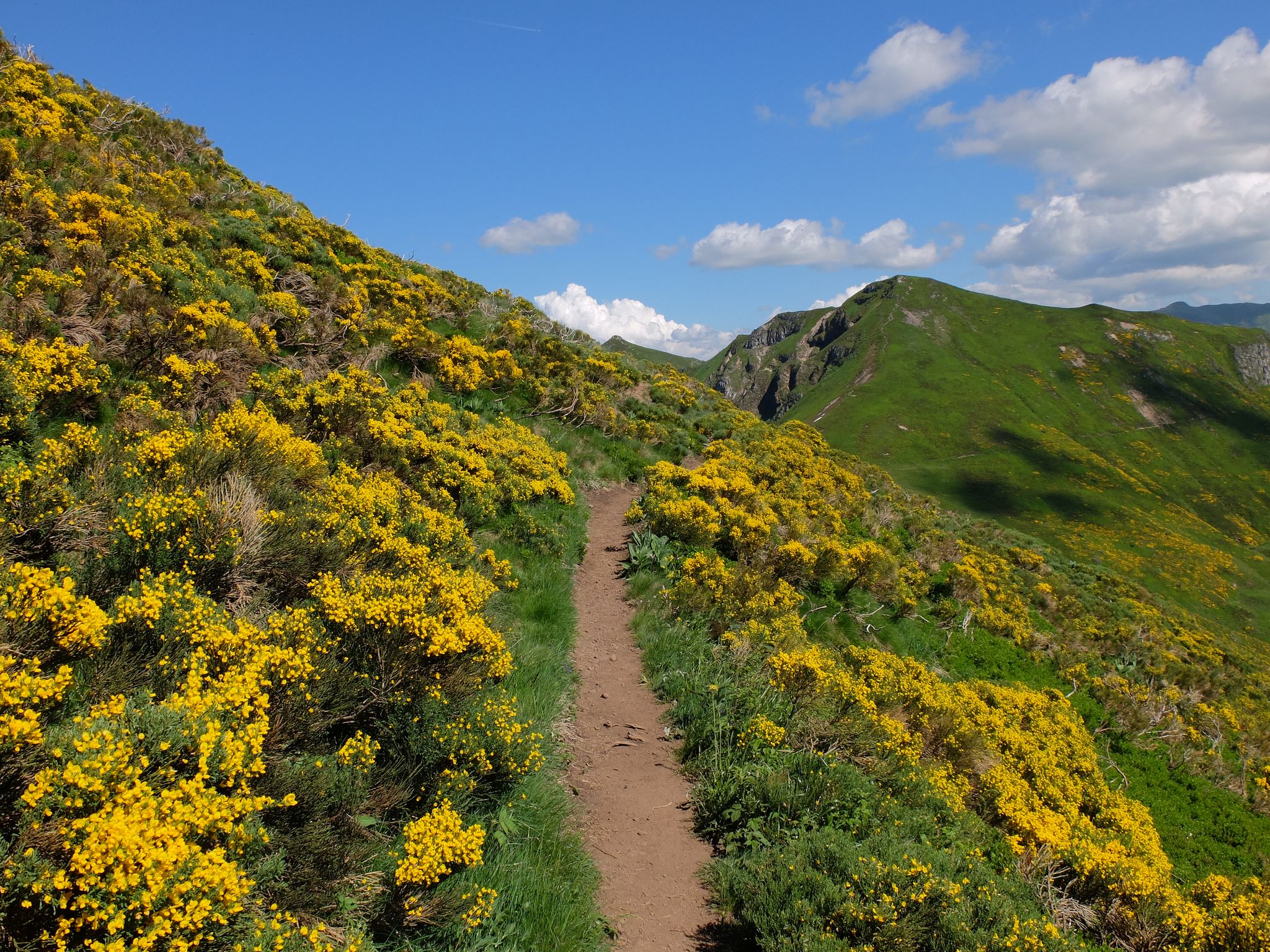
Tour des Volcans du Cantal (GR 400) – The biggest volcano in Europe
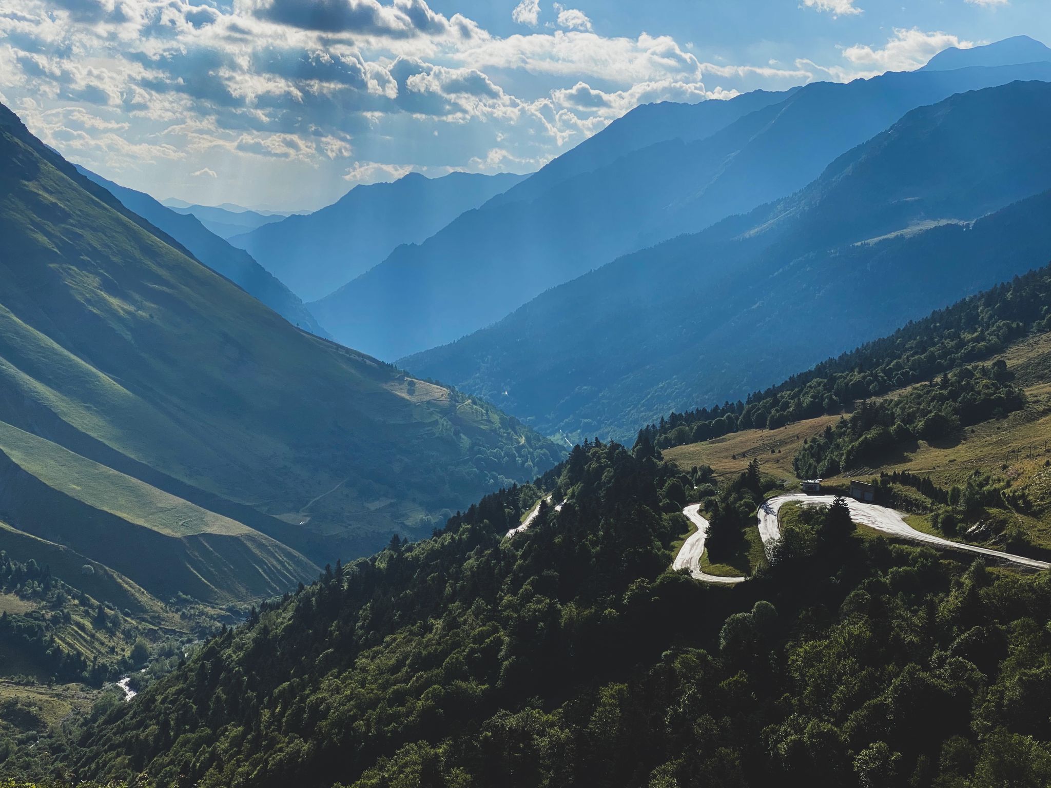
Born to Ride 2020
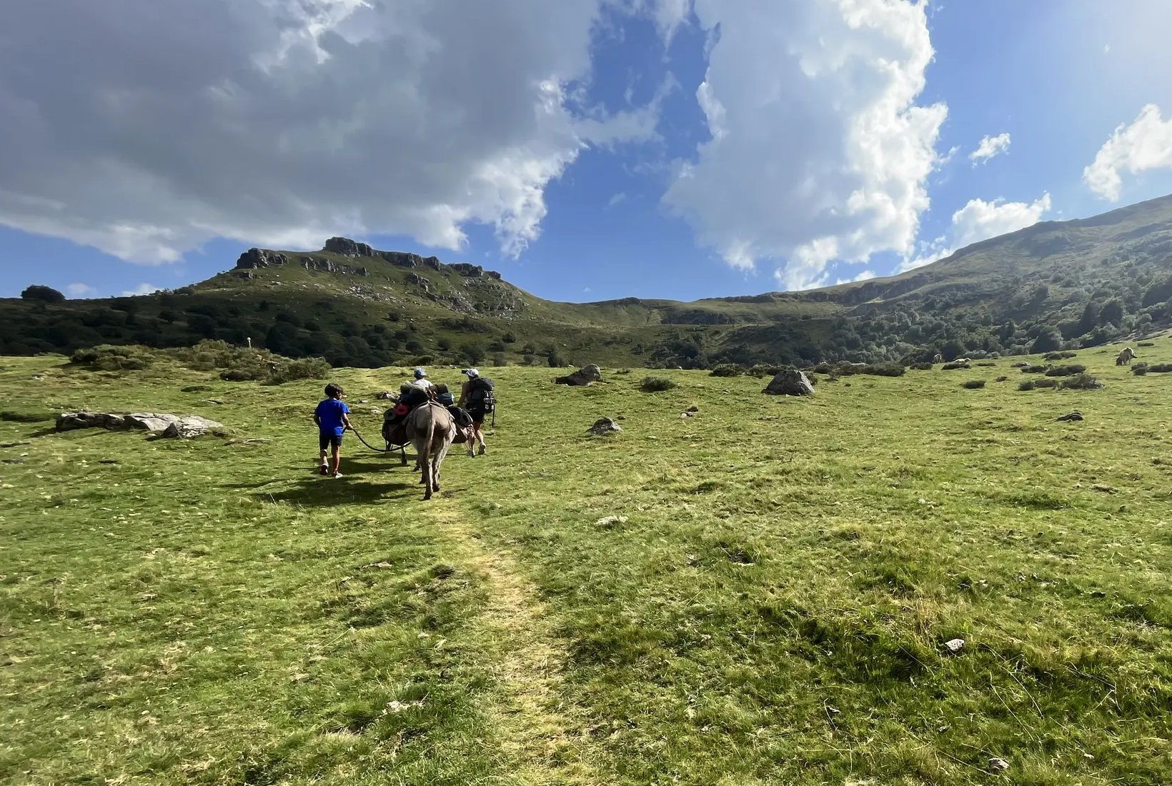
Hike with donkeys in France – a family adventure in the Mounts of Cantal
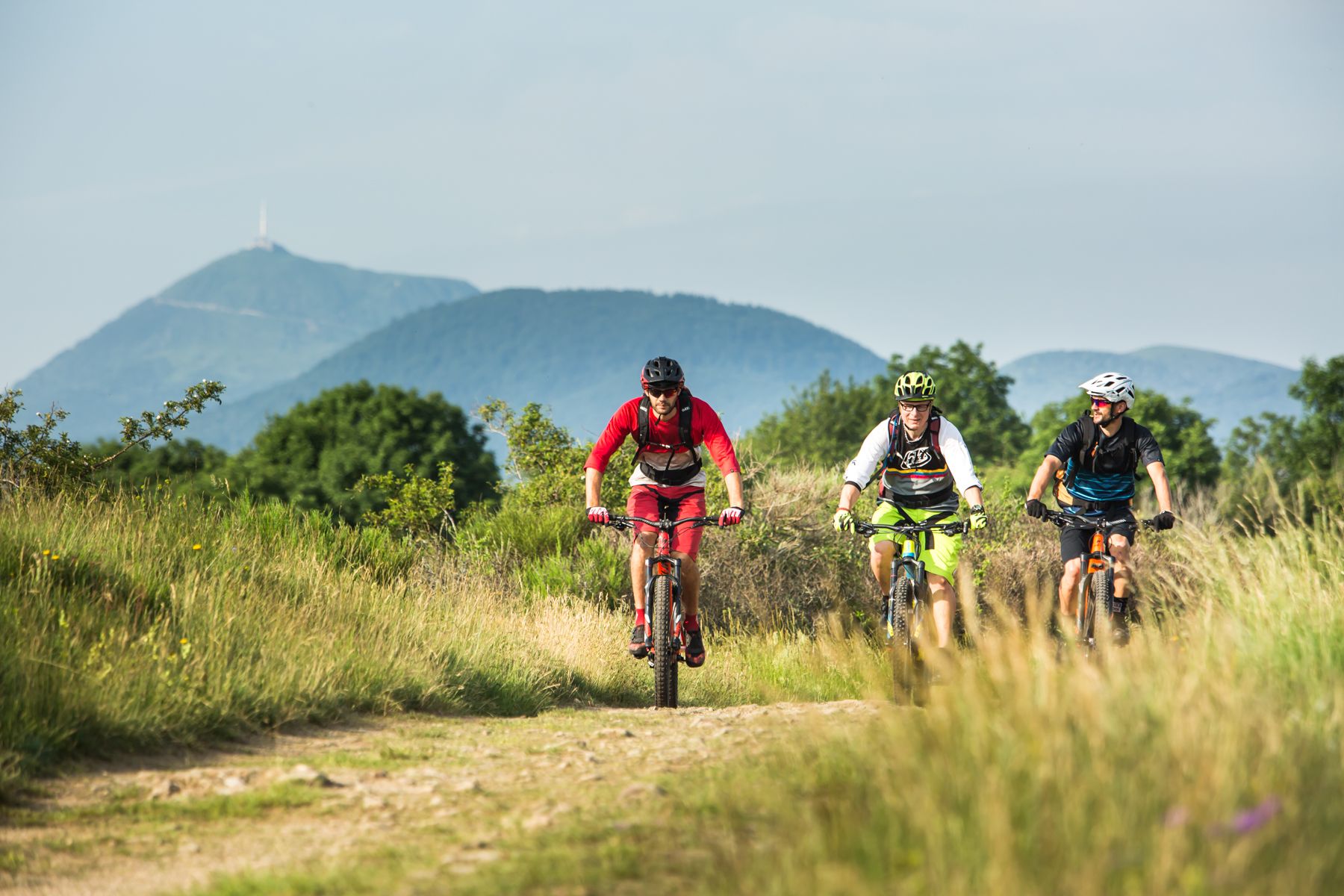
By MTB through the Auvergne — la traversée des volcans
Hiking around Albepierre-Bredons
Road Cycling Routes around Albepierre-Bredons
MTB Trails around Albepierre-Bredons
Cycling around Albepierre-Bredons
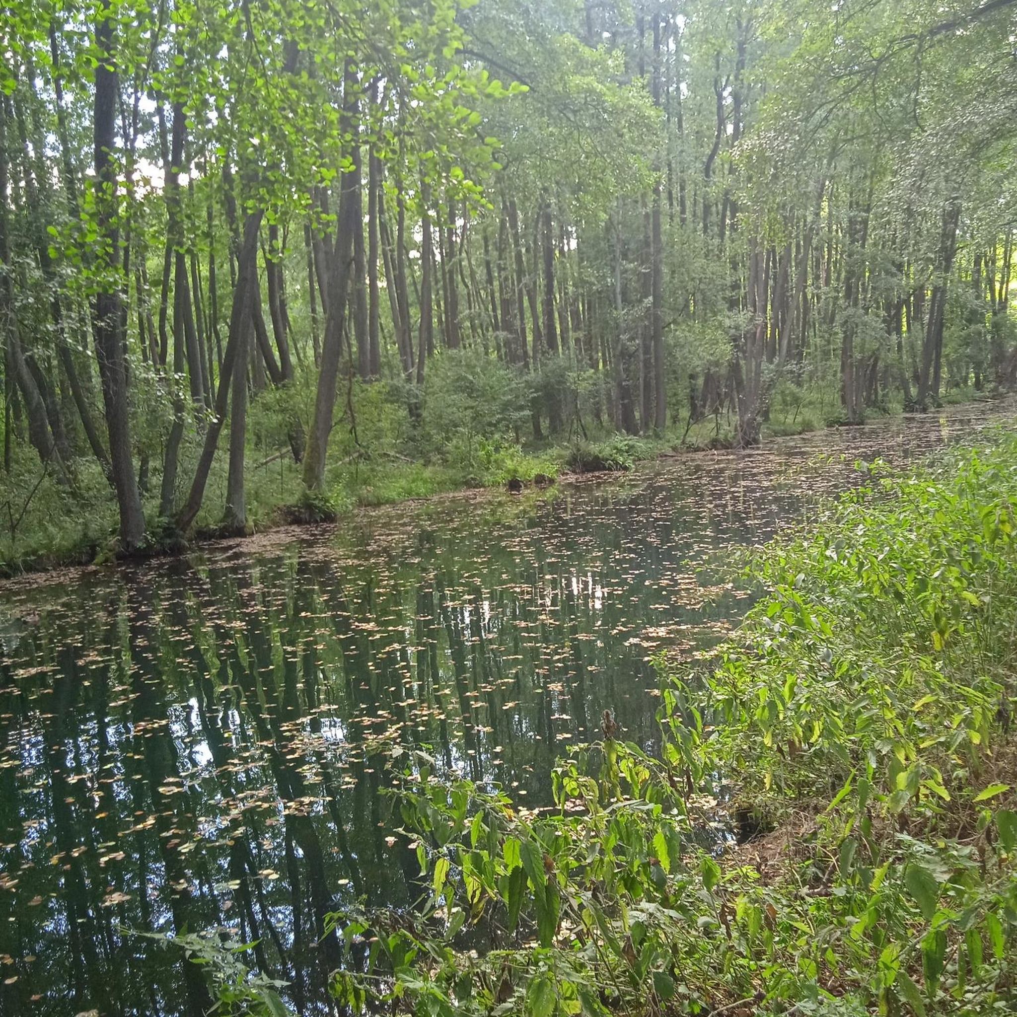
Gravel biking around Albepierre-Bredons
Mountain Hikes around Albepierre-Bredons
Other adventures around Albepierre-Bredons


Tips from the Community

One of the three waterfalls that cascade down the Lagnon. All grouped together along the marked waterfall hike starting from Albepierre.
0
0

There are numerous waterfalls and torrents to discover along the Lagnon. The Vergnes waterfall is one of the most impressive, with a beautiful waterfall of around 20 meters.
1
0

a 360° view of the Cantal, Lozère, Puy de Dôme... breathtaking
0
0


Magnificent hike with a big climb to reach the lead of Cantal (1855m altitude). It is better to take a jacket (it is very cold up there). The hike takes between 2h and 3h45 (with a break).
0
0

easy to reach! but then it goes up quite a hill. Feasible round with children!
0
0

A splendid place, a luxury pasture for the cows, seasoned hikers will take the opportunity to climb the Rocher de Chamalière, the Plomb du Cantal is not very far away then!
0
0
Pretty waterfall to enjoy from a distance, no access to swim 😉
0
0
Frequently Asked Questions
How many running routes are available around Albepierre-Bredons?
There are over 15 running routes documented around Albepierre-Bredons, offering a variety of experiences within the Regional Natural Park of the Auvergne Volcanoes. These routes cater to different fitness levels, though many are considered challenging.
What kind of terrain can I expect on the jogging routes in Albepierre-Bredons?
Jogging routes in Albepierre-Bredons feature diverse terrain, including high-altitude volcanic peaks like the Plomb du Cantal, ancient glacial cirques such as the Cirque de Chamalières, and extensive forests. You'll also encounter refreshing rivers, streams, and even peat bogs, providing varied running surfaces and inclines.
Are there any easy or moderate jogging paths in Albepierre-Bredons?
While many routes in Albepierre-Bredons are considered difficult due to significant elevation changes, there are a few moderate options available. Currently, there are 4 moderate routes documented, offering less strenuous alternatives compared to the more challenging mountain trails.
Can I find running routes that pass by waterfalls in Albepierre-Bredons?
Yes, the region is abundant with natural water features. You can find routes that pass by waterfalls such as the Prés Long, Vergnes, and Prapsou waterfalls. For example, the View of Albepierre – Vergnes Waterfall loop from Albepierre is a difficult 11.9 km route that includes the Vergnes Waterfall.
What are some challenging running routes for experienced trail runners?
For experienced trail runners seeking a challenge, Albepierre-Bredons offers several difficult routes. The Plomb du Cantal loop from Albepierre is a demanding 17.3 km path with significant elevation gain, providing panoramic views of the volcanic landscape. Another option is the Plomb du Cantal Loop from Prat de Bouc, a 8.4 km difficult trail.
Are there any circular running routes available?
Yes, many of the running routes in Albepierre-Bredons are circular, allowing you to start and end at the same point. Examples include the Plomb du Cantal loop from Le Joaniol, a 11.4 km trail, and the Vergnes Waterfall – Plomb du Cantal loop from Albepierre, which is a longer 19.5 km option.
What do other runners enjoy the most about jogging in Albepierre-Bredons?
The running routes in Albepierre-Bredons are highly rated by the komoot community, with an average score of 4.5 stars from over 25 reviews. Runners often praise the dramatic volcanic landscapes, the refreshing natural features like waterfalls, and the physical challenge offered by the varied terrain, especially the ascents to peaks like the Plomb du Cantal.
Are there any notable landmarks or natural monuments to see along the running routes?
Absolutely. The region is rich in natural monuments. Along various routes, you might encounter significant peaks such as the Plomb du Cantal, Puy Mary Summit, or Puy Peyre-Arse. The area also features unique geological formations like the Cirque de Chamalières and historical markers from ancient Roman roads within the forests.
Is Albepierre-Bredons suitable for trail running?
Yes, Albepierre-Bredons is explicitly part of the 'Espace Trail Massif Cantalien,' indicating its suitability and infrastructure for trail running. The extensive network of marked trails, varying in difficulty and elevation, makes it an ideal destination for dedicated trail runners.
What is the best season for jogging in Albepierre-Bredons?
The best season for jogging in Albepierre-Bredons is generally from spring to autumn when the weather is milder and trails are clear. Summer offers lush landscapes and refreshing waterfalls, while autumn provides beautiful foliage. Winter can be challenging due to snow and ice, especially at higher elevations, requiring appropriate gear and caution.
Are there options for parking near the trailheads?
Yes, many popular trailheads, such as those leading to the Plomb du Cantal from the Col de Prat de Bouc or from Albepierre itself, typically have designated parking areas. It's advisable to check specific route details on komoot for precise parking information for your chosen running path.
Can I reach the jogging trails using public transport?
While Albepierre-Bredons is a mountain village, public transport options directly to specific trailheads might be limited. It's best to research local bus services or consider driving to the main starting points like the Col de Prat de Bouc, which serves as a significant gateway to many trails.
Most popular routes around Albepierre-Bredons
Most popular attractions around Albepierre-Bredons

Get inspired with the komoot mobile app


Explore more
Browse the best Running Trails & Routes in other regions.
