The best walks and hikes around Laveissenet
4.6
(823)
5,980
hikers
207
hikes
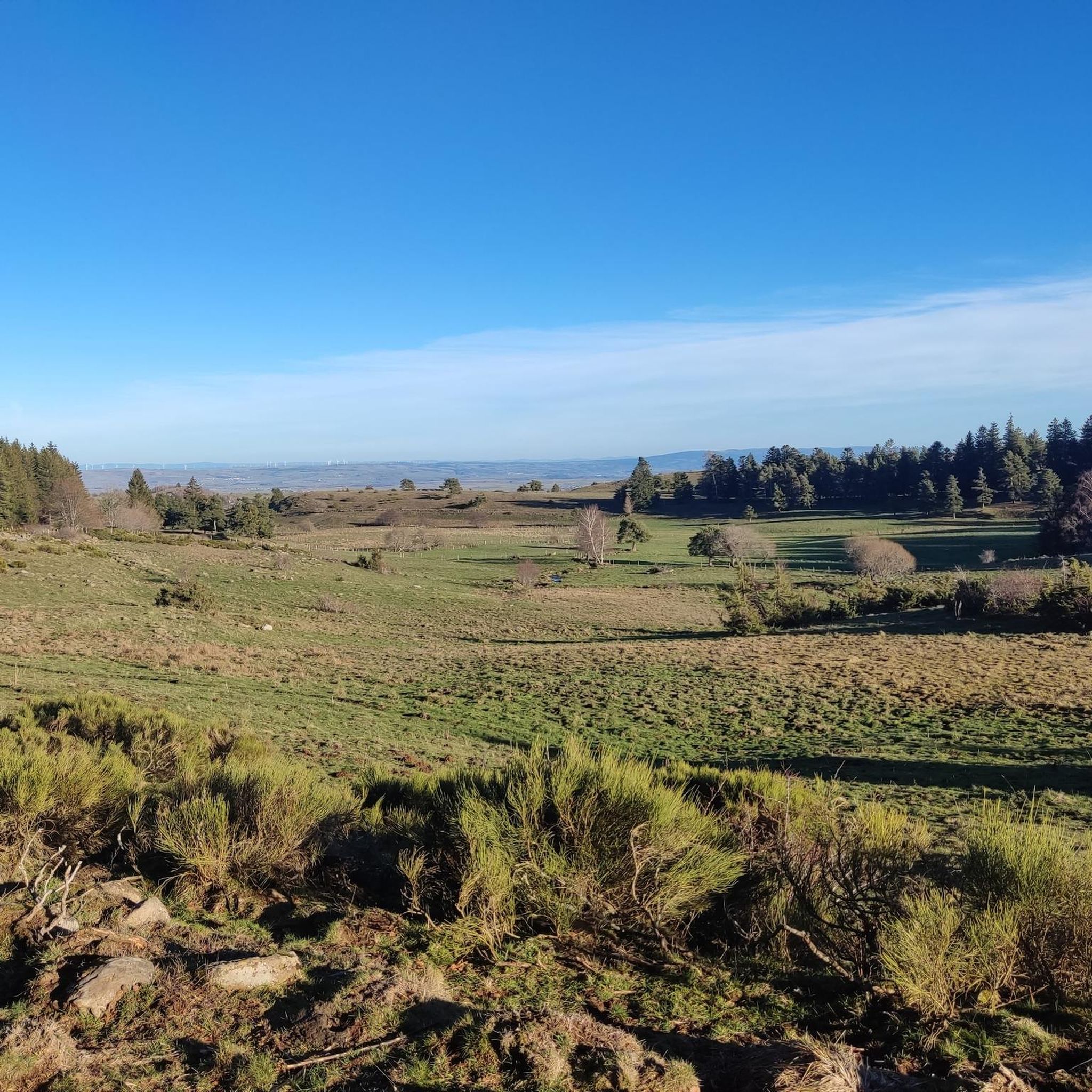
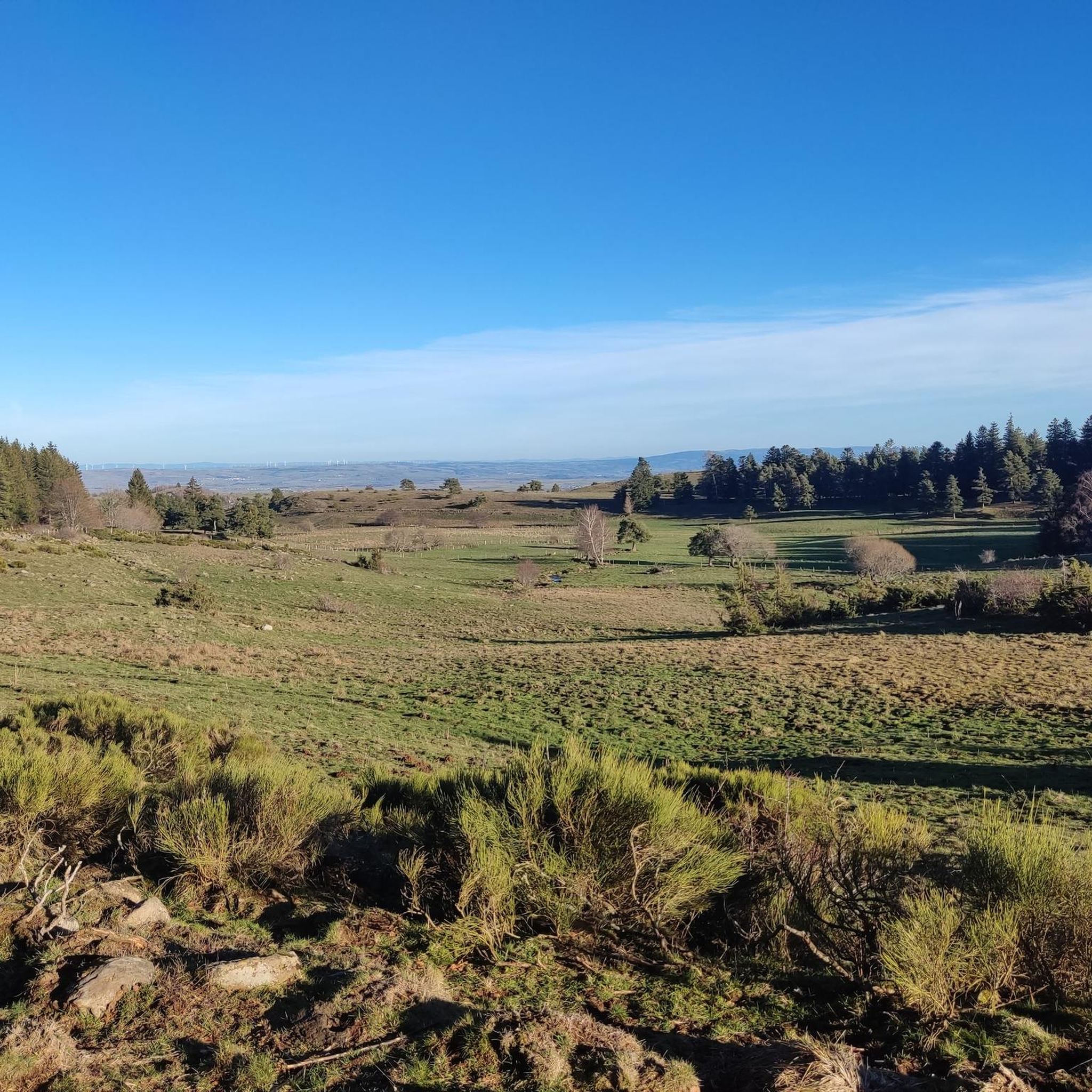
Hiking trails around Laveissenet are set within the volcanic landscapes of the Monts du Cantal, a region characterized by ancient lava flows known as Planèzes. These high plateaus offer expansive views and transition into pastures. The area serves as a gateway to the Col de Prat-de-Bouc mountain pass, situated at the foot of the Plomb du Cantal, the second-highest peak in the Massif Central. The diverse terrain includes varied flora and is a recognized corridor for migratory birds.
Best hiking…
Last updated: June 30, 2026
4.7
(22)
127
hikers
Moderate hike. Good fitness required. Mostly accessible paths. Sure-footedness required.
4.8
(11)
81
hikers
13.4km
04:13
550m
550m
Moderate hike. Good fitness required. Mostly accessible paths. Sure-footedness required.

Sign up for free
4.6
(8)
36
hikers
18.9km
05:39
590m
590m
Hard hike. Very good fitness required. Mostly accessible paths. Sure-footedness required.
4.8
(57)
302
hikers
13.8km
04:05
400m
400m
Moderate hike. Good fitness required. Easily-accessible paths. Suitable for all skill levels.
4.9
(55)
278
hikers
9.72km
02:56
310m
310m
Moderate hike. Good fitness required. Easily-accessible paths. Suitable for all skill levels.
Get access to more routes and recommendations from other explorers.
Sign up for free
Already have an account?
Our route recommendations are based on thousands of hikes, rides, and runs completed by other people on komoot.
Start today with a free account
Your next adventure awaits.
Login or Signup
Tips from the Community

One of the three waterfalls that cascade down the Lagnon. All grouped together along the marked waterfall hike starting from Albepierre.
0
0


I stopped there for a coffee break on my hike today. I wanted to order a croissant, but there weren't any. Instead, I got a very tasty apricot cake. Highly recommended.
0
0

There are numerous waterfalls and torrents to discover along the Lagnon. The Vergnes waterfall is one of the most impressive, with a beautiful waterfall of around 20 meters.
1
0


easy to reach! but then it goes up quite a hill. Feasible round with children!
0
0

Frequently Asked Questions
How many hiking trails are available around Laveissenet?
There are over 200 hiking routes around Laveissenet, offering a wide range of options for all skill levels. This includes 68 easy, 90 moderate, and 45 difficult trails, ensuring there's something for everyone.
What are the typical landscapes and natural features I'll encounter while hiking near Laveissenet?
Hiking around Laveissenet means exploring the stunning volcanic landscapes of the Monts du Cantal. You'll traverse ancient lava flows known as 'Planèzes,' which are high plateaus offering expansive views. The area is also rich in biodiversity, with flower-filled meadows, and is a recognized corridor for migratory birds, especially around the Col de Prat-de-Bouc.
Are there any family-friendly hiking options in Laveissenet?
Yes, Laveissenet offers several routes suitable for families. While specific family-friendly routes aren't detailed, the region has 68 easy trails that are generally well-suited for outings with children. These trails often feature less challenging terrain and shorter distances.
Can I bring my dog on the hiking trails around Laveissenet?
Many trails in the Monts du Cantal region are dog-friendly, but it's always recommended to keep your dog on a leash, especially in areas with livestock or protected wildlife. Always check local signage for specific restrictions on individual routes or in nature reserves.
Are there any circular walks recommended near Laveissenet?
Yes, the area features several excellent circular walks. For a moderate option exploring unique landscapes, consider the Cirque de Chamalière Loop. If you're looking for a more challenging full-day hike, the Murat - Prat-de-Bouc Pass Loop is a popular choice that takes you through the scenic Prat-de-Bouc Pass.
What kind of attractions or landmarks can I see along the hiking trails?
The trails around Laveissenet offer access to significant natural landmarks. You can hike towards the Plomb du Cantal, the second-highest peak in the Massif Central, offering 360° panoramic views. Other notable peaks include Puy Griou and Venus' Nipple. You'll also encounter various mountain passes like Cabre Pass and Pertus Pass, and traditional buron huts.
Are there any hikes that feature waterfalls near Laveissenet?
Yes, you can find beautiful waterfalls in the region. A notable route is the Col de Prat de Bouc – Prés Longs Waterfall loop from Col de Prat-de-Bouc, which takes you to the Prés Longs Waterfall. Another option is the Prés Longs Waterfall – Vergnes Waterfall loop from Albepierre, allowing you to discover multiple cascades.
What is the best time of year to go hiking in Laveissenet?
The Monts du Cantal region transforms throughout the year. While beautiful in all seasons, late spring to early autumn (May to October) generally offers the most favorable conditions for hiking, with blooming flowers and accessible trails. Winter provides opportunities for snowshoeing and Nordic activities, especially around the Col de Prat-de-Bouc, but requires appropriate gear and experience.
Where can I find parking for trailheads near Laveissenet?
The Col de Prat-de-Bouc is a significant hub for hikers and offers parking facilities, serving as a starting point for numerous trails, including those leading to the Plomb du Cantal. For routes starting closer to Laveissenet or Murat, local parking options are usually available, though it's advisable to check specific trailhead information.
What do other hikers enjoy most about the trails in Laveissenet?
The hiking trails around Laveissenet are highly rated by the komoot community, with an average score of 4.6 stars from over 700 reviews. Hikers frequently praise the stunning panoramic views from the Planèzes and peaks like Plomb du Cantal, the diverse volcanic landscapes, and the extensive, well-maintained network of trails that cater to various difficulty levels.
Are there any amenities or places to eat near the hiking areas?
While Laveissenet itself is a small, tranquil village, it is conveniently close to Murat, which offers shops, cafes, pubs, and other amenities. The Col de Prat-de-Bouc, a major hiking hub, may also have seasonal facilities or nearby options. It's always a good idea to plan ahead for food and drink, especially on longer routes.
What are the difficulty levels of hikes in the Monts du Cantal near Laveissenet?
The Monts du Cantal offer a wide range of difficulty levels. You'll find easy, gentle paths suitable for beginners and families, moderate routes with some elevation gain, and challenging multi-day treks with steep ascents and descents, particularly when heading towards peaks like the Plomb du Cantal. There are 68 easy, 90 moderate, and 45 difficult routes available.
Is public transport available to reach hiking trailheads from Laveissenet?
Public transport options directly to specific trailheads in the more remote areas like the Col de Prat-de-Bouc can be limited. It's often more convenient to reach major starting points by car. However, Murat, being a larger town nearby, may offer more public transport connections, from which you might need to arrange further transport or walk to trailheads.
Most popular routes around Laveissenet
Most popular attractions around Laveissenet

Get inspired with the komoot mobile app


Explore more
Browse the best Hikes in other regions.
