The best running trails around Camou-Cihigue
5.0
(2)
260
runners
43
runs
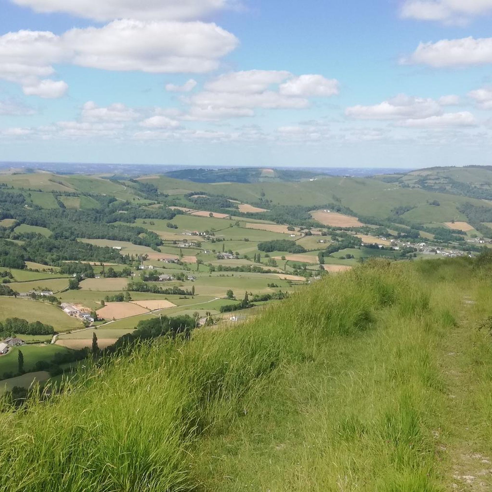
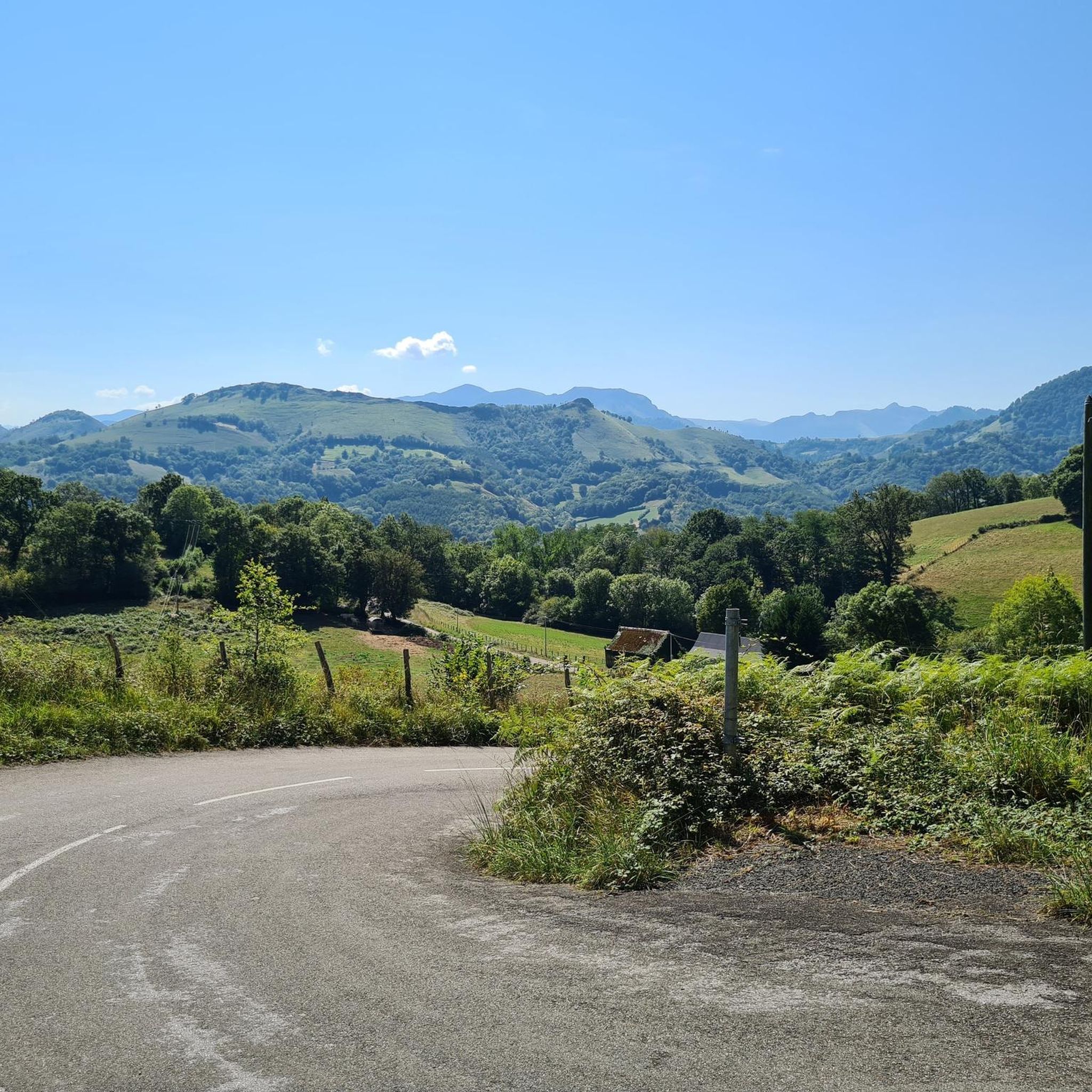
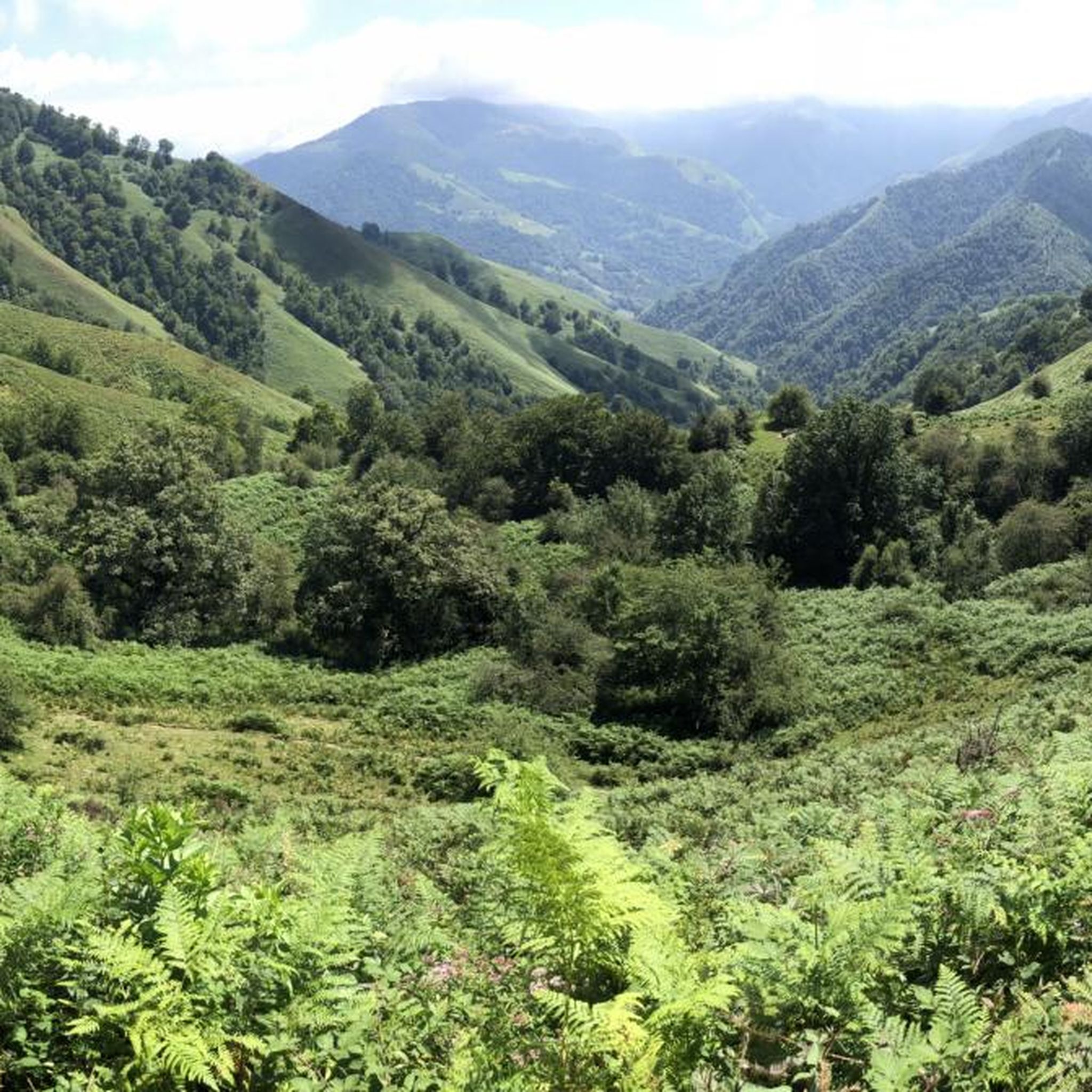
Jogging around Camou-Cihigue offers varied terrain within the Pyrénées-Atlantiques department, situated at the foot of the Arbailles limestone massif. The region features elevations ranging from 208 to 1,009 meters, providing diverse topography for running. Joggers can expect a mix of forest paths, gorges, and valleys, with trails suitable for different fitness levels.
Best jogging routes around Camou-Cihigue
- The most popular jogging route is At the summit of Erretzu – Tardets loop from Alos-Sibas-Abense, a 7.8 miles (12.5 km) trail…
Last updated: June 28, 2026
41
runners
12.8km
02:03
700m
700m
Hard run. Very good fitness required. Sure-footedness, sturdy shoes and alpine experience required.
52
runners
21.1km
03:19
1,080m
1,080m
Hard run. Very good fitness required. Sure-footedness, sturdy shoes and alpine experience required.

Sign up for free
10
runners
6.96km
00:47
150m
150m
Moderate run. Good fitness required. Mostly paved surfaces. Suitable for all skill levels.
7
runners
10.9km
01:35
440m
440m
Hard run. Very good fitness required. Sure-footedness, sturdy shoes and alpine experience required.
7
runners
5.38km
00:35
110m
110m
Moderate run. Good fitness required. Mostly paved surfaces. Suitable for all skill levels.
Get access to more routes and recommendations from other explorers.
Sign up for free
Already have an account?
Our route recommendations are based on thousands of hikes, rides, and runs completed by other people on komoot.
Start today with a free account
Your next adventure awaits.
Login or Signup

Tips from the Community

Beautiful church in the center of the dkrpje
17
0


Very pretty, typically French village square! I went there in the evening, I would have loved to stop there but the clocks are running out :( I'll come back.
0
0


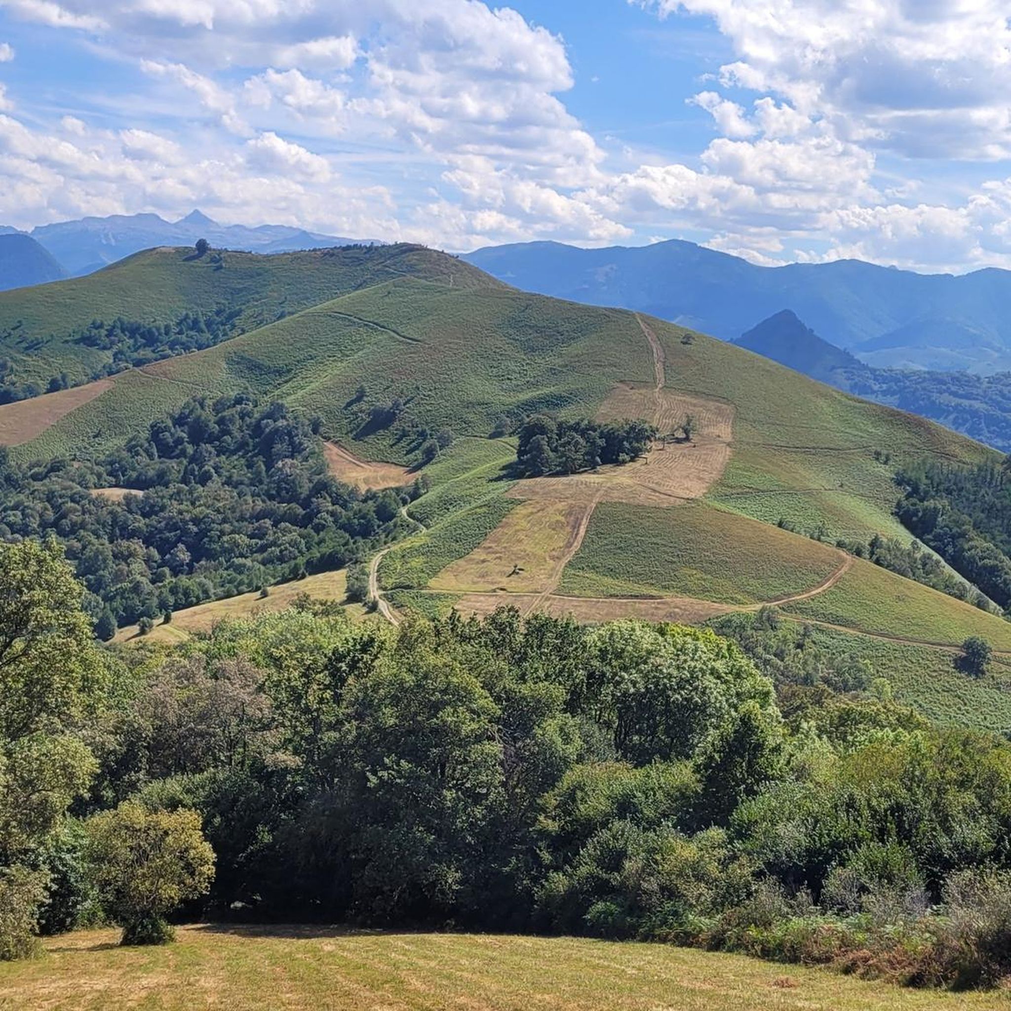
Demanding climb to reach the top of Erretzu (700m altitude). Wonderful landscape !
0
0

Very nice climb from Tardets with some rather severe steep slopes. About 7km of climb on a fairly narrow road at 8/10% with passages at 16 or 18%. The coating is not bad at all even if the end is covered with sheep droppings :) The landscape is absolutely magnificent, a 360 degree panorama over Béarn, the Basque country, the peaks of Anie, the Midi d'Ossau, the plain of Pau and even the ocean on a clear day.
1
0

Beautiful panorama from the top of Erretzu. We are facing Pierre Saint Martin, Issarbe and Pic d'Orhy. You can even make out the peaks of the Pic d'Ossau. On the other side beyond the Col de Sustary, there is the Madeleine. It is a beautiful walk where you will have to reckon with good slopes. The climb can hang from Sustary or from the Montory side.
0
1

Very nice tour, nice climb with the cows
0
0
Frequently Asked Questions
How many running routes are available around Camou-Cihigue?
There are over 40 diverse running routes around Camou-Cihigue, catering to various fitness levels. You'll find 1 easy route, 18 moderate routes, and 21 difficult routes, offering a wide range of options for your run.
What kind of terrain can I expect on the jogging trails in Camou-Cihigue?
The terrain around Camou-Cihigue is quite varied, situated at the foot of the Arbailles limestone massif. You can expect a mix of forest paths, scenic gorges, and valleys. Elevations range significantly, from 208 to 1,009 meters, providing diverse topography for challenging runs or more gentle jogs.
Are there any family-friendly running routes in the Camou-Cihigue area?
Yes, while many routes offer significant elevation, there are options suitable for families. The Running loop from Alos-Sibas-Abense is a moderate 7.0 km (4.3 miles) path with less elevation gain, making it a good choice for a family outing. You can find more details here: Running loop from Alos-Sibas-Abense.
Can I find circular running routes around Camou-Cihigue?
Absolutely. Many of the running routes in Camou-Cihigue are circular, allowing you to start and finish in the same location. For example, the Tardets loop from Alos-Sibas-Abense is a challenging 15.6 km (9.7 miles) circular route, perfect for a longer, scenic run. Explore it here: Tardets loop from Alos-Sibas-Abense.
What natural landmarks or points of interest can I see while running in Camou-Cihigue?
The region is rich in natural beauty. While running, you might encounter stunning views from points like Staircase Peak or Arthanolatze. The area is also known for the unique Thermal Springs of Lamiña Ziloa and dramatic features like the Gorges d'Holzarté and Gorges de Kakouetta, offering picturesque backdrops to your run.
Are there any easy running routes for beginners in Camou-Cihigue?
Yes, there is at least one easy running route available. While many trails offer a challenge, you can find options that are less demanding to help you get started or enjoy a relaxed jog. Look for routes specifically marked as 'easy' in the komoot guide for suitable options.
What do other runners say about the trails in Camou-Cihigue?
The running routes in Camou-Cihigue are highly regarded by the komoot community, holding an impressive average rating of 5.0 stars from over 1 review. More than 190 runners have explored the varied terrain, often praising the natural environment, diverse inclines, and scenic views.
Is there public transport available to access the running routes around Camou-Cihigue?
Camou-Cihigue is a small commune, and public transport options directly to trailheads might be limited. It's advisable to check local transport schedules or consider driving to access the starting points of the running routes. Parking information is often available on individual route descriptions.
Are dogs allowed on the jogging trails in Camou-Cihigue?
Generally, dogs are welcome on many outdoor trails in France, especially if kept on a leash. However, specific rules can vary by protected areas or private land. It's always best to check individual route details or local signage for any restrictions regarding dogs to ensure a pleasant experience for everyone.
What is the best time of year to go jogging in Camou-Cihigue?
The region offers good conditions for jogging for much of the year. Spring and autumn provide pleasant temperatures and beautiful scenery with changing foliage. Summer can be warm, so early morning or late afternoon runs are recommended. Winter jogging is possible, but be prepared for cooler temperatures and potentially wet or snowy conditions at higher elevations.
Are there any running routes that pass by the Thermal Springs of Lamiña Ziloa?
The Thermal Springs of Lamiña Ziloa are a unique natural attraction in Camou-Cihigue. While specific running routes directly passing through the springs might not be listed, the surrounding area is ideal for exploration. You can plan a run that includes a detour to experience this distinctive site where hot and cold mineral springs emerge from rock fissures.
Can I find routes with significant elevation gain for a challenging run?
Yes, Camou-Cihigue is situated at the foot of the Arbailles limestone massif, offering numerous routes with significant elevation gain. For example, At the summit of Erretzu – Tardets loop from Alos-Sibas-Abense is a difficult 12.5 km (7.8 miles) route with substantial climbing, perfect for a challenging workout. Find more details here: At the summit of Erretzu – Tardets loop from Alos-Sibas-Abense.
Most popular routes around Camou-Cihigue
Most popular attractions around Camou-Cihigue

Get inspired with the komoot mobile app


Explore more
Browse the best Running Trails & Routes in other regions.
