The best cycling routes around Lieutadès
4.3
(16)
250
riders
43
rides
Touring cycling around Lieutadès, located in the Cantal department of France, offers routes through the varied landscapes of the Aubrac Regional Natural Park. The region is characterized by high plateaus, deep river valleys like the Truyère gorges, and a mix of pastures and forests. Cycling routes often feature significant elevation changes, traversing the volcanic terrain typical of the Cantal region.
Best touring cycling routes around Lieutadès
- The most popular touring cycling route is Saint Juéry, Saint Urcize and Chaudes Aigues…
Last updated: October 16, 2026
4
riders
Hard bike ride. Very good fitness required. Some segments of this route may be unpaved and difficult to ride.
18
riders
53.4km
03:47
1,060m
1,060m
Hard bike ride. Very good fitness required. Mostly paved surfaces. Suitable for all skill levels.

1.0
(1)
15
riders
127km
09:35
3,190m
3,190m
Hard bike ride. Very good fitness required. Mostly paved surfaces. Suitable for all skill levels.
4.0
(1)
9
riders
44.4km
03:14
910m
910m
Hard bike ride. Very good fitness required. Mostly paved surfaces. Suitable for all skill levels.
4.0
(3)
8
riders
61.1km
04:17
1,200m
1,200m
Hard bike ride. Very good fitness required. Mostly paved surfaces. Suitable for all skill levels.
Get access to more routes and recommendations from other explorers.
Already have an account?
Our route recommendations are based on thousands of hikes, rides, and runs completed by other people on komoot.
Start today with a free account
Your next adventure awaits.

Tips from the Community

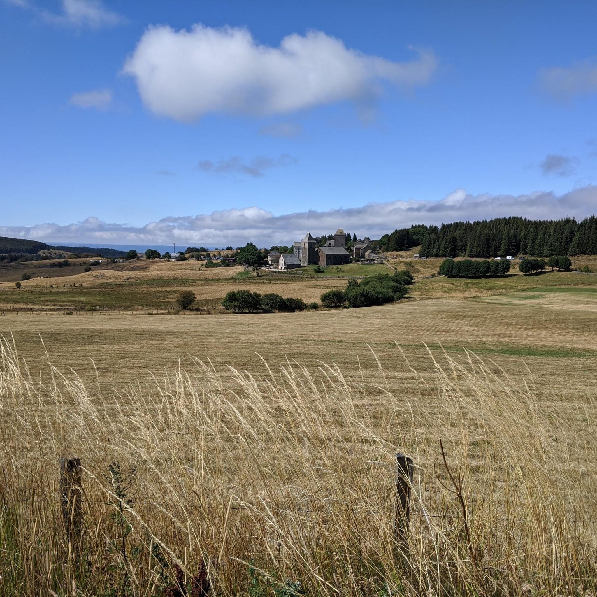
Beautiful, well-kept, and quiet village. Beautiful church. Worth a visit.
0
0

A beautiful, partly shady climb from Claux to the pass. Then the real challenge begins at Puy Mary.
0
0

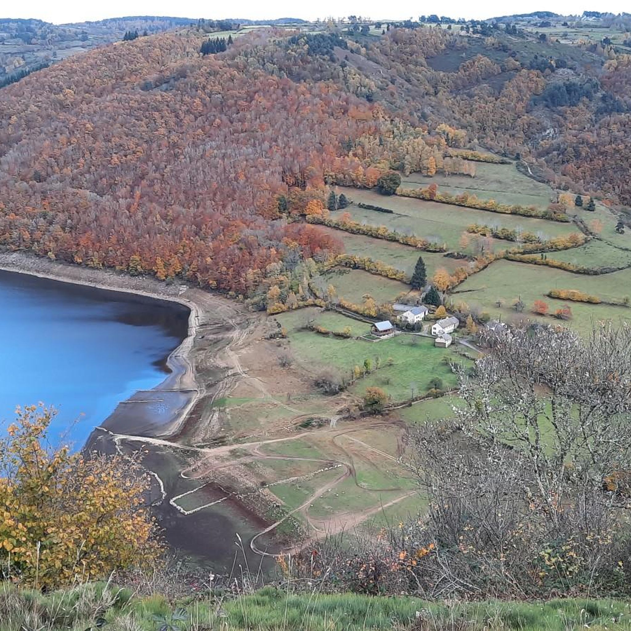
The route takes you through incredibly beautiful scenery as you head up the valley.
1
0

This pass is rather easy if we compare it with what awaits us, the Puy Mary
1
0

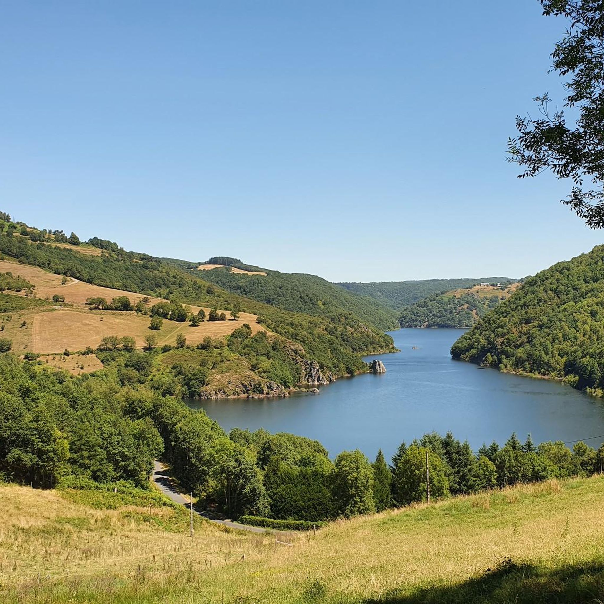
Superb view of the Garabit viaduct, allowing you to cross the Truyère gorges. This metal structure, created by Gustave Eiffel, is 565 meters long and rises to 122 meters above the water. It was at one time the “highest viaduct in the world”!
0
0

At an altitude of 1,588 meters, the Pas de Peyrol is located between the Puy Mary and the Puy de la Tourte. It is known to be the highest road pass in the Massif Central and is worth it, because the last few kilometers have high percentages. There you can admire Puy Mary which peaks at an altitude of 1,783 metres. It is one of the peaks of the Cantal mountains. It is easily recognizable with its pyramidal silhouette.
1
0

Very regular climb without great difficulty start of several gravel trails
0
0

Superb climb from Saint-Julien de Jordanne.
0
0
Frequently Asked Questions
Where is Lieutadès located and what are its main geographical features for touring cyclists?
Lieutadès is situated in the Cantal department of France, within the Aubrac Regional Natural Park. The region is characterized by high plateaus, deep river valleys such as the Truyère gorges, and a diverse landscape of pastures and forests. Touring cycling routes here often feature significant elevation changes due to the volcanic terrain typical of the Cantal region.
How many touring cycling routes are available around Lieutadès?
There are over 30 touring cycling routes recorded on komoot around Lieutadès. These routes primarily cater to experienced cyclists, with a few moderate options also available.
What is the general difficulty level of touring cycling routes in Lieutadès?
The majority of touring cycling routes around Lieutadès are classified as difficult, with 31 out of 34 routes falling into this category. There are also 3 moderate routes, but no easy routes, indicating that the terrain is generally challenging with significant elevation changes.
Are there any family-friendly touring cycling routes in Lieutadès?
Given the challenging terrain and significant elevation changes, most touring cycling routes around Lieutadès are classified as difficult. There are no easy routes, and only a few moderate options. Families with younger children or those seeking very gentle rides might find the options limited, as the area primarily caters to more experienced cyclists.
Can I find circular touring cycling routes around Lieutadès?
Yes, many of the touring cycling routes around Lieutadès are designed as loops. For example, the Saint Juéry, Saint Urcize and Chaudes Aigues loop and the Pont de Treboul – Sarrans Dam loop from Cantoin are popular circular options.
What kind of attractions or landmarks can I expect to see along the touring cycling routes?
Along the touring cycling routes, you can discover various points of interest. Notable attractions include the scenic Laussac Peninsula, the picturesque Banks of the Truyère, and impressive man-made structures like the Sarrans Dam. You might also pass by historical sites such as the Church of Chaudes-Aigues.
Are there any routes that offer views of dams or reservoirs?
Yes, several routes provide views of the region's dams and reservoirs. The Pont de Treboul – Sarrans Dam loop from Cantoin offers views of the Sarrans Dam, while the Church of Chaudes-Aigues – Grandval Dam loop from Chaudes-Aigues takes you past the Grandval Dam. You can also find a Viewpoint overlooking the Lanau Dam reservoir.
What do other touring cyclists say about the routes in Lieutadès?
The touring cycling routes around Lieutadès are highly regarded by the komoot community, with an average rating of 4.6 stars from over 12 reviews. Cyclists often appreciate the challenging terrain, the scenic views of the Aubrac plateaus, and the exploration of traditional villages.
What is a good route for an experienced touring cyclist looking for a challenge?
For experienced touring cyclists seeking a significant challenge, the Church of Chaudes-Aigues – Garabit Viaduct loop from Chaudes-Aigues is an excellent option. This difficult route covers over 61 km and features more than 1200 meters of elevation gain, offering a demanding ride through the area.
Are there any touring cycling routes that explore the Truyère gorges?
Yes, the region's deep river valleys, including the Truyère gorges, are a prominent feature. The Church of Chaudes-Aigues – Truyère gorges loop from Le Vialard is a difficult route that allows you to experience the dramatic landscapes of the Truyère gorges.
What is the typical duration for a touring cycling route in Lieutadès?
The duration of touring cycling routes in Lieutadès varies depending on the distance and elevation. For example, the Saint Juéry, Saint Urcize and Chaudes Aigues loop typically takes around 4 hours and 19 minutes, while the Church of Chaudes-Aigues – Grandval Dam loop from Chaudes-Aigues can be completed in about 3 hours and 13 minutes.
Most popular attractions around Lieutadès

Get inspired with the komoot mobile app


Explore more
Browse the best Cycling routes in other regions.
