The best walks and hikes around Saint-Albain
4.5
(158)
705
hikers
84
hikes
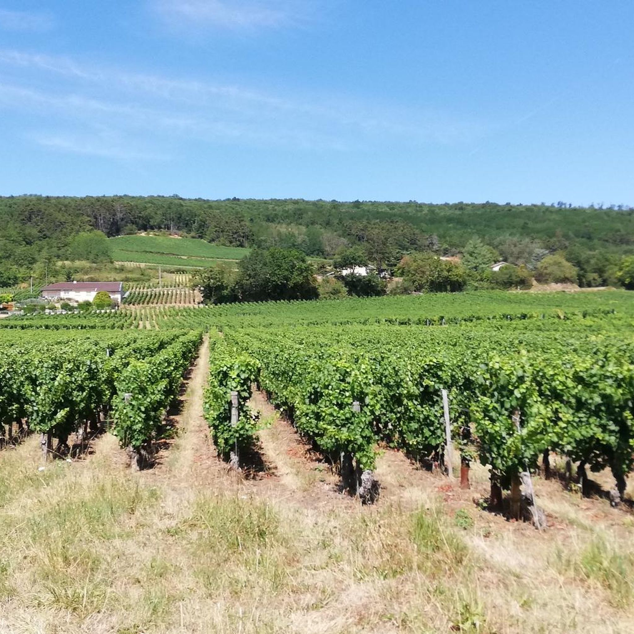
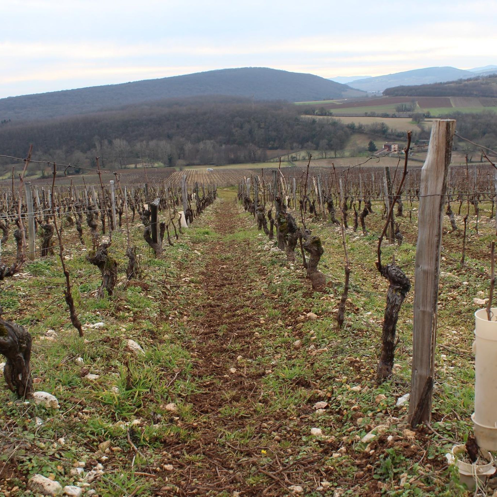
Hiking around Saint-Albain, a commune in the Bourgogne-Franche-Comté region of France, offers diverse landscapes for outdoor activities. The area is characterized by the Saône River and its expansive floodplain, providing verdant meadows and a towpath known as the "Voie Bleue." Beyond the river, trails wind through woods and local vineyards, offering varied terrain. Elevated points like the Montagne de La Salle provide views of the Saône valley.
Best hiking trails around Saint-Albain
- The most popular hiking route is Fleurville Lock…
Last updated: June 27, 2026
3.7
(7)
38
hikers
10.3km
02:36
20m
20m
Moderate hike. Good fitness required. Easily-accessible paths. Suitable for all skill levels.
4.0
(1)
20
hikers
8.47km
02:08
10m
10m
Moderate hike. Good fitness required. Easily-accessible paths. Suitable for all skill levels.

Sign up for free
5.0
(2)
5
hikers
11.6km
02:59
50m
60m
Moderate hike. Good fitness required. Easily-accessible paths. Suitable for all skill levels.
6
hikers
10.5km
02:40
40m
40m
Moderate hike. Good fitness required. Easily-accessible paths. Suitable for all skill levels.
4
hikers
7.16km
01:49
20m
20m
Easy hike. Great for any fitness level. Easily-accessible paths. Suitable for all skill levels.
Get access to more routes and recommendations from other explorers.
Sign up for free
Already have an account?
Our route recommendations are based on thousands of hikes, rides, and runs completed by other people on komoot.
Start today with a free account
Your next adventure awaits.
Login or Signup

Tips from the Community

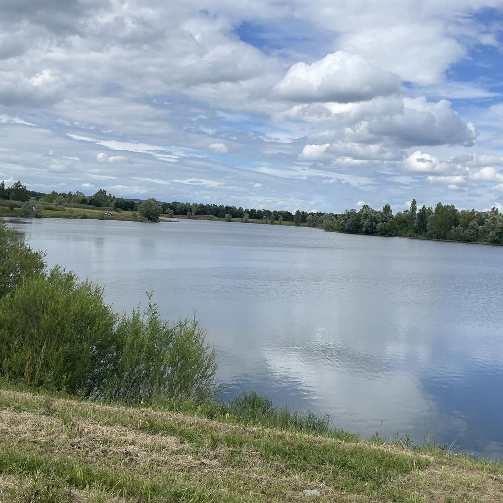
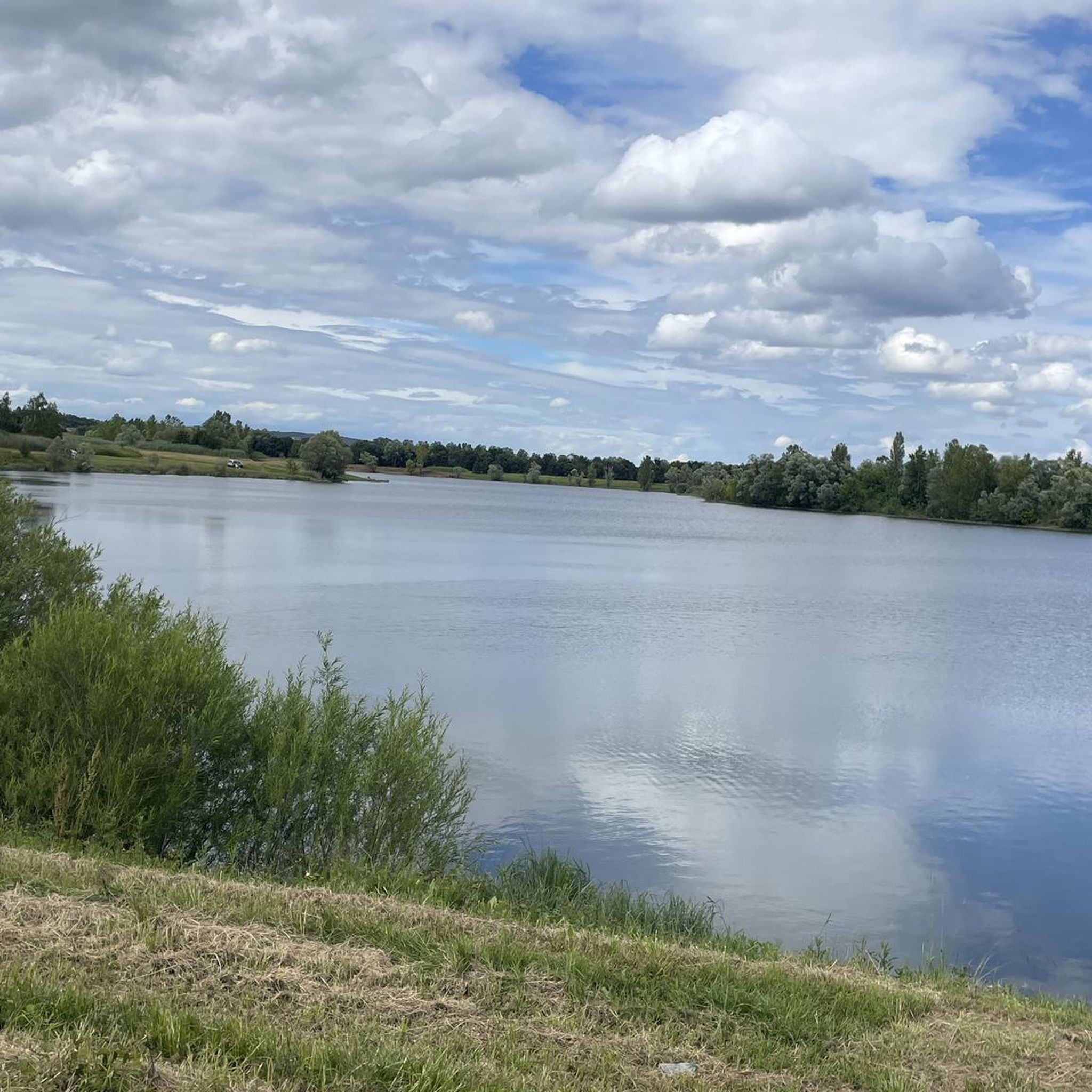
The Plan d'Eau de Fleurville (also known as Gravière de Fleurville) is a beautiful recreational and natural lake in the Saône-et-Loire department. The body of water is located directly on the border of the municipalities of Saint-Albain and Fleurville on the Saône. It is a former gravel pit that has been renatured and is today an important refuge for biodiversity as well as a popular excursion destination. The lake is equipped with picnic tables, fishing piers, and observation points. It is an excellent place for hiking, cycling (near the Voie Bleue cycle path), and birdwatching (e.g. for storks and migratory birds).
0
0

Nice place as a starting point for a visit to the place
0
0

Watching the locks is always interesting.
3
0

narrow lock, manually operated, nice to watch when a ship passes by...
5
0
The route along the Saone is beautiful, especially for cyclists, flat with a good road surface. There are picnic tables in various places and you can also just enjoy the water on the verge. The bank slopes gradually and water birds can be seen everywhere.
7
0
Get off and walk under the bridge past the lock for a view of the bridge over the Saone
5
0

The body of water is perfect for a break to observe the surrounding wildlife. The place is equipped with tables for having a picnic, pontoons for fishing, relaxation and observation areas. You can rest in the shade of the trees present throughout the site.
6
0

Site labeled Sensitive Natural Area. It is a remarkable, atypical and rare site in the plain. This space is made up of a moor within a wooded environment, wet meadows and several ponds.
0
0
Frequently Asked Questions
How many hiking trails are available around Saint-Albain?
There are over 70 hiking routes around Saint-Albain. These include a variety of options, with 22 easy trails, 47 moderate routes, and 6 more challenging hikes, catering to different skill levels and preferences.
What kind of terrain can I expect on hikes near Saint-Albain?
Hiking around Saint-Albain offers diverse terrain. You'll find trails along the Saône River and its floodplain, characterized by verdant meadows and the scenic "Voie Bleue" towpath. Other routes lead through woods and vineyards, such as those on the Montagne de La Salle, providing varied landscapes and views of the Saône valley.
Are there any family-friendly hiking options in Saint-Albain?
Yes, Saint-Albain offers several family-friendly hiking options, particularly the easier routes along the Saône River floodplain. These trails are generally flat and scenic, perfect for a leisurely stroll with children. For example, the Fleurville lock loop from Fleurville is an easy 5.9 km path that takes about 1 hour 28 minutes.
Can I bring my dog on the hiking trails around Saint-Albain?
Many trails around Saint-Albain are suitable for dogs, especially those along the riverbanks and through less crowded wooded areas. It's always recommended to keep your dog on a leash, especially in areas with wildlife or near agricultural land, and to check local signage for any specific restrictions.
What are the best times of year to go hiking in Saint-Albain?
The best times for hiking in Saint-Albain are typically spring (April to June) and autumn (September to October). During these seasons, the weather is generally mild and pleasant, and the natural scenery, from blooming meadows to vibrant autumn foliage, is at its most beautiful. Summer can also be enjoyable, but it's advisable to hike early in the morning or late afternoon to avoid the midday heat.
Are there any circular hiking routes available?
Yes, Saint-Albain features several popular circular hiking routes. Examples include the Port of Pont-de-Vaux – Fleurville lock loop from Fleurville, a moderate 11.9 km trail, and the Fleurville Lock – Port of Pont-de-Vaux loop from Fleurville, which is 8.5 km. These loops allow you to start and end your hike at the same point, offering convenience and varied scenery.
What can I see along the hiking trails near Saint-Albain?
Along the hiking trails near Saint-Albain, you can discover several interesting natural and man-made features. Highlights include the serene Fleurville Lake, the expansive Saône River itself, and the picturesque Fleurville Lock. You can also explore sections of the Voie Bleue along the Saône River, a popular path for walking and cycling.
What do other hikers enjoy most about hiking in Saint-Albain?
The hiking routes in Saint-Albain are highly rated by the komoot community, with an average score of 4.6 stars from over 100 reviews. Hikers often praise the peaceful riverside paths, the beautiful views of the Saône valley, and the variety of landscapes that include verdant meadows, woods, and vineyards.
Are there any less crowded hiking trails around Saint-Albain?
While the main riverside paths can be popular, you can often find less crowded experiences by exploring some of the trails that venture into the local woods and vineyards, such as those around the Montagne de La Salle. These routes offer a more secluded atmosphere while still providing beautiful scenery.
Is public transport available to reach hiking trailheads in Saint-Albain?
Public transport options directly to specific trailheads in Saint-Albain may be limited. It is generally recommended to use a car to access the starting points of many hikes in the region. However, some trails, particularly those along the Voie Bleue, might be accessible from local villages with limited bus services. Checking local transport schedules is advised.
Are there any significant natural parks nearby for extended hiking?
Yes, Saint-Albain is situated within the broader Burgundy region, which boasts significant natural parks. The Morvan Regional Natural Park, often referred to as Burgundy's "green lung," is a notable option for extended hiking, featuring undulating hills, dense forests, and numerous lakes. You can find more information about exploring the great outdoors in Burgundy on the Burgundy Tourism website.
Are there any specific permits required for hiking in Saint-Albain?
Generally, no specific permits are required for hiking on public trails around Saint-Albain. Most paths are freely accessible. However, if you plan to venture onto private land or through certain protected areas, it's always wise to check for any local regulations or permissions that might be needed.
Most popular routes around Saint-Albain
Most popular attractions around Saint-Albain

Get inspired with the komoot mobile app


Explore more
Browse the best Hikes in other regions.
