The best road cycling routes around Pruzilly
4.4
(104)
2,981
riders
193
rides
Road cycling routes around Pruzilly are characterized by undulating terrain, featuring several passes and scenic viewpoints. The region includes a mix of challenging climbs and more moderate paths, often incorporating greenways. Prominent features include passes like Truges Pass and Col de la Sibérie, alongside views of landmarks such as the Roche de Solutré. The landscape offers diverse road cycling experiences across its varied elevation profiles.
Best road cycling routes around Pruzilly
- The most popular road cycling route is Truges Pass…
Last updated: July 5, 2026
5.0
(4)
56
riders
55.3km
02:48
940m
940m
Hard road ride. Very good fitness required. Mostly well-paved surfaces and easy to ride.
55
riders
57.3km
03:06
1,180m
1,180m
Hard road ride. Very good fitness required. Mostly well-paved surfaces and easy to ride.

Sign up for free
5.0
(1)
9
riders
42.6km
02:16
850m
850m
Moderate road ride. Good fitness required. Mostly well-paved surfaces and easy to ride.
16
riders
25.7km
01:22
450m
450m
Moderate road ride. Good fitness required. Mostly well-paved surfaces and easy to ride.
5.0
(4)
12
riders
33.9km
01:47
650m
650m
Moderate road ride. Good fitness required. Mostly well-paved surfaces and easy to ride.
Get access to more routes and recommendations from other explorers.
Sign up for free
Already have an account?
Our route recommendations are based on thousands of hikes, rides, and runs completed by other people on komoot.
Start today with a free account
Your next adventure awaits.
Login or Signup
Tips from the Community

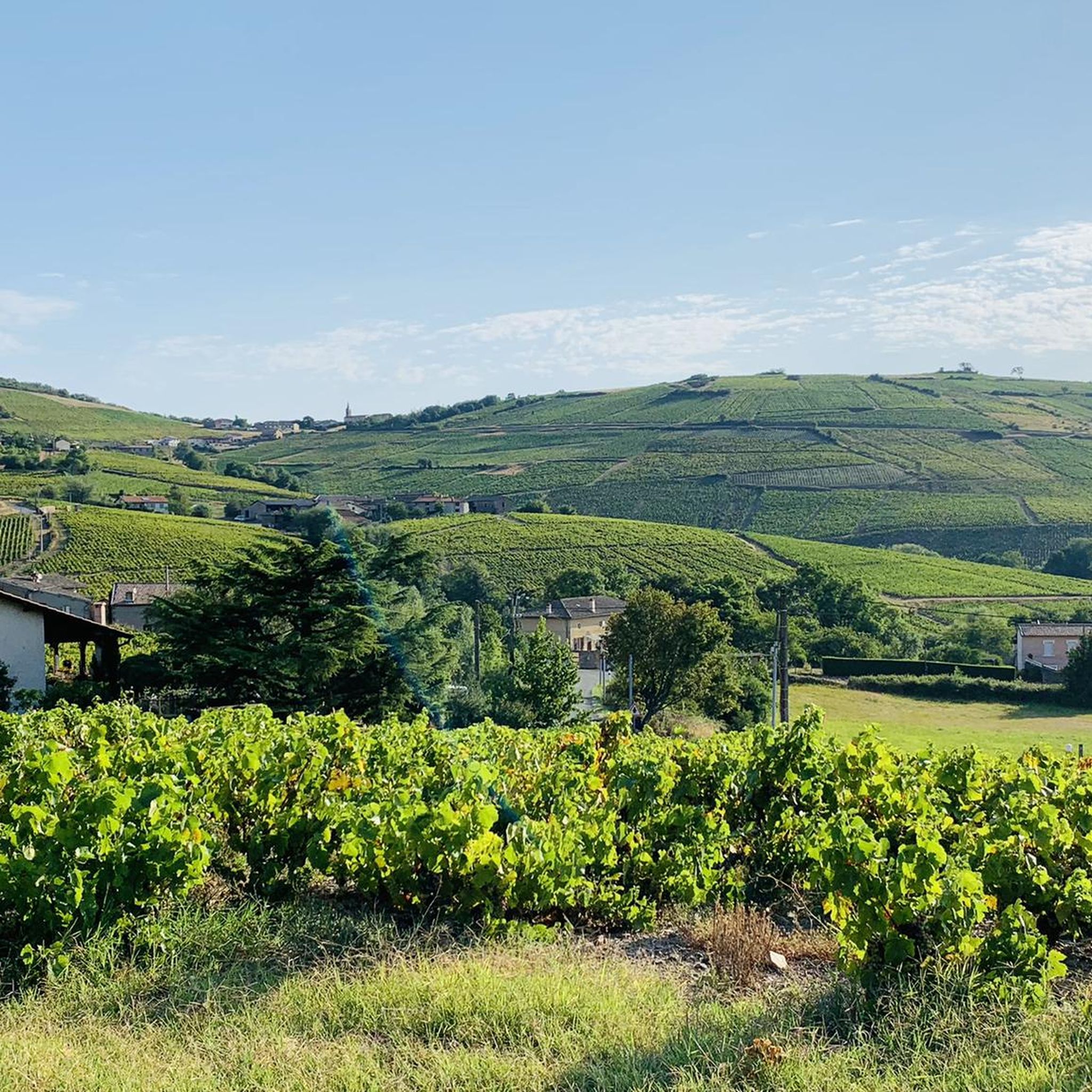
The Rock of Solutré is a world-famous, 493-meter-high limestone rock in the south of the Burgundy region. It is located amidst the picturesque vineyards of the municipality of Solutré-Pouilly. The region is officially designated as a Grand Site de France. The hike to the summit is easy to moderate and very doable for families. It takes about 1 hour for the entire loop (approx. 4 kilometers round trip). The elevation gain is around 100 to 140 meters from the official parking lot on well-maintained paths with information panels, although there are many steps.
1
0
The Solutré Rock is a world-famous, 493-meter-high limestone cliff in the south of the Burgundy region. It is situated amidst the picturesque vineyards of the municipality of Solutré-Pouilly. The region is officially designated as a Grand Site de France. The hike to the summit is easy to moderate and well-suited for families. It takes about 1 hour for the entire circular route (approx. 4 kilometers round trip). The elevation gain is around 100 to 140 meters from the official parking lot, on well-maintained paths with information panels, although there are many steps.
0
0
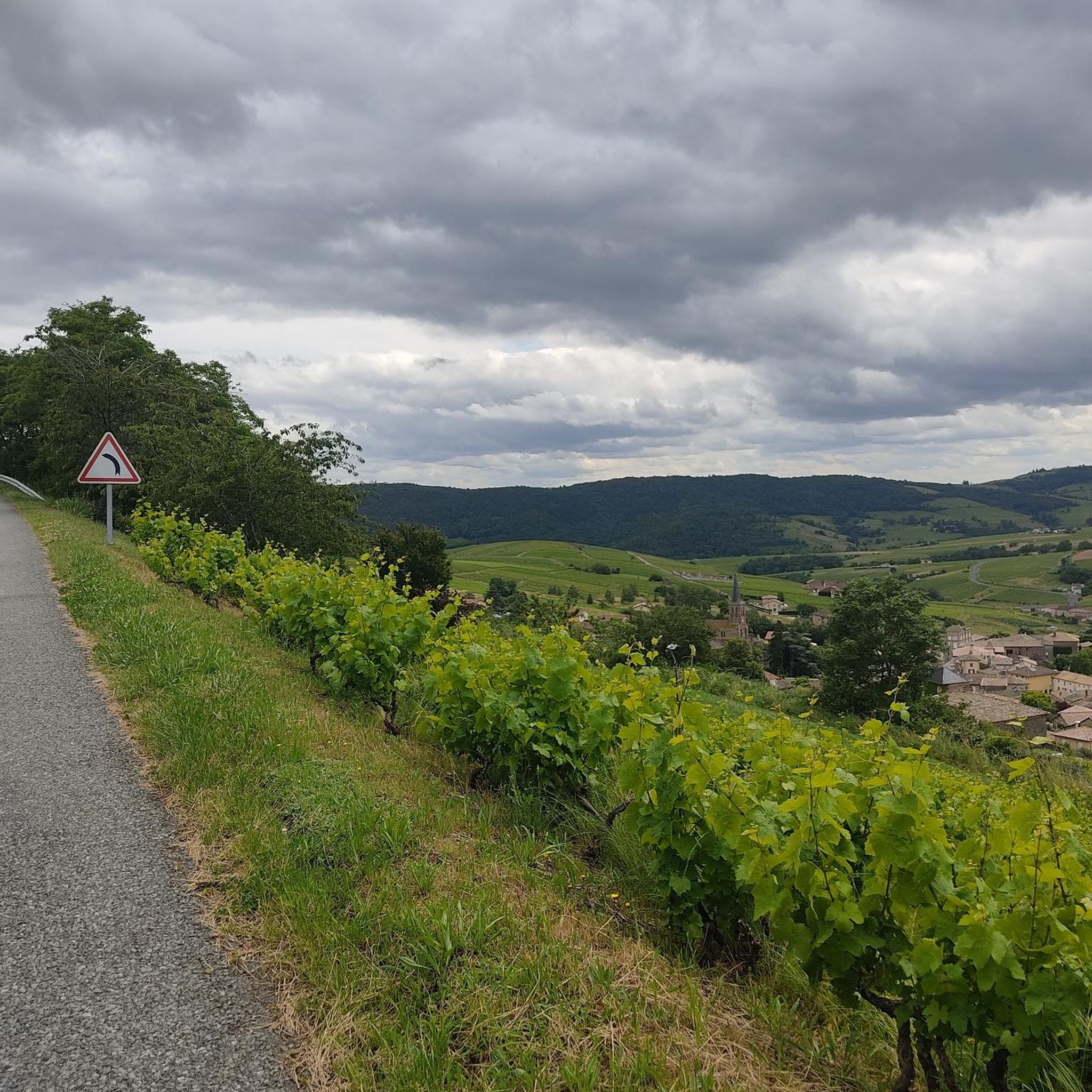
Although the pass is located in France and is not extremely high, its name translates to "Siberia Pass". The name goes back to the often very cold, snow-rich winds and the harsh weather conditions in winter.
1
0
The Col de Durbize is a mountain pass at 550 meters above sea level in the municipality of Chiroubles, in the heart of the Beaujolais wine region. The pass is located in the Massif Central and, as an important road junction (intersection of roads D26, D86, and D18E1), connects surrounding wine villages such as Villié-Morgon and Beaujeu. It is particularly popular with road cyclists and hikers for its panoramic views.
0
0
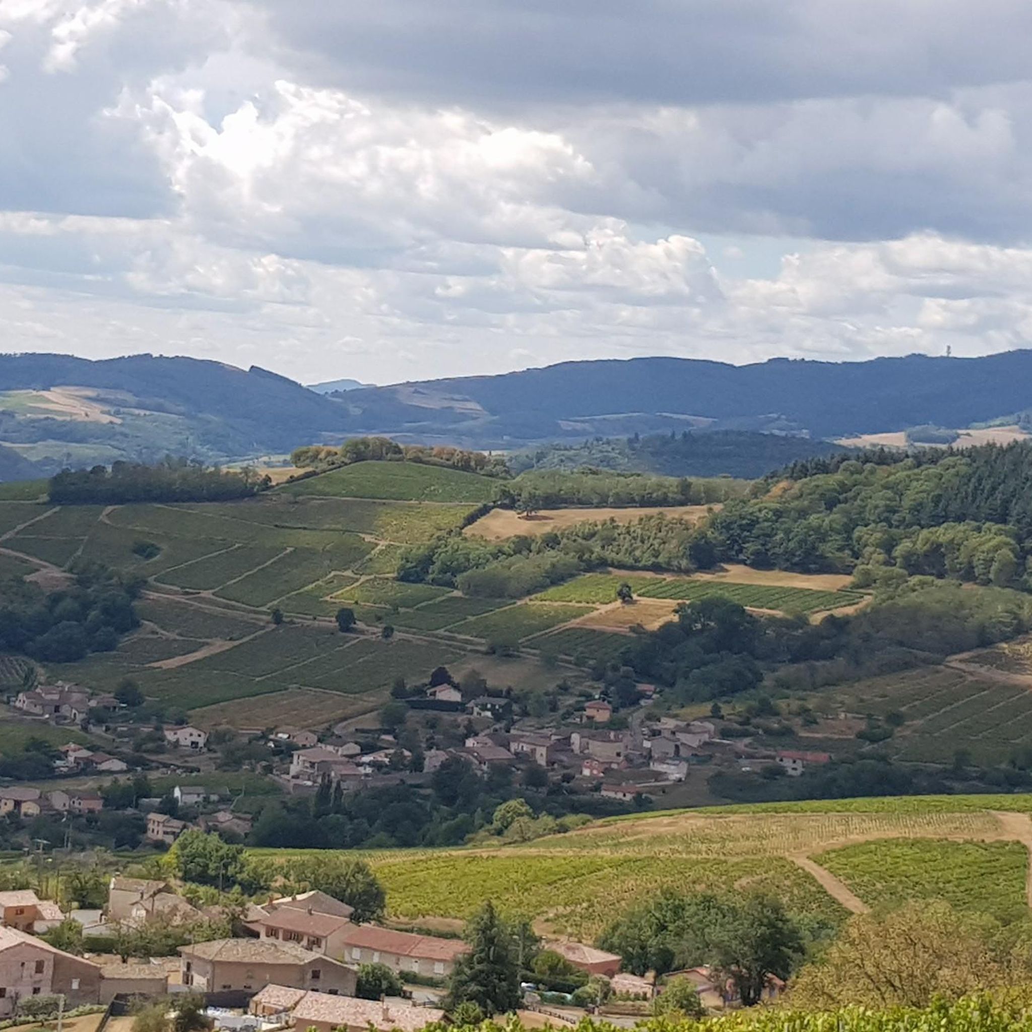
The Col de Gerbet (612 m) is an idyllic mountain pass in the French wine-growing region of Beaujolais. Depending on the starting point, various roads with little traffic lead up to the pass via the D137. From Juliénas (south-east approach): This route is 7.3 kilometers long. It overcomes 342 meters of altitude with a steady, moderate gradient of 4.7% on average. The road winds through shady forest sections. From La Croix Blanche (west approach): A tougher variant 4.5 kilometers long. Here you conquer 270 meters of altitude with an average gradient of 6% and ramps of up to 11%.
1
0
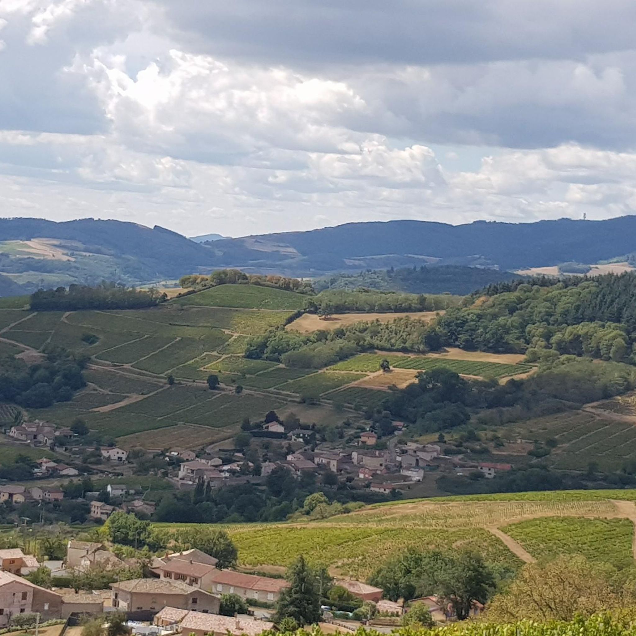
The pass is a popular climb for road cyclists in the region. The route from Villié-Morgon via the Col du Truges up to the higher Col du Fût d'Avenas is considered a scenically beautiful, steady tour past gentle vineyards.
0
0

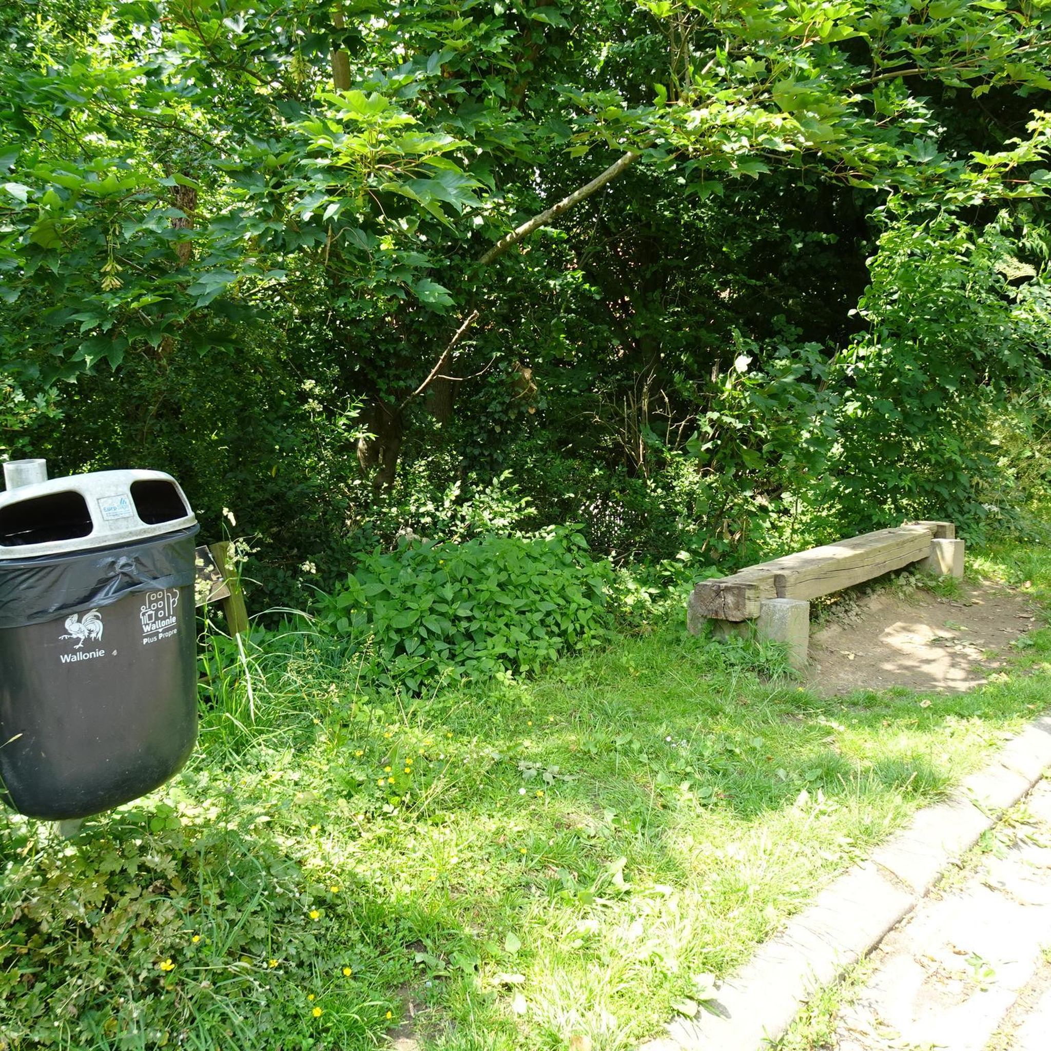
Nice village with beautiful coastline 😅
0
0

Frequently Asked Questions
How many road cycling routes are available around Pruzilly?
There are over 200 road cycling routes around Pruzilly, offering a wide range of options for different skill levels. You'll find everything from easy rides to challenging climbs.
Are there any easy road cycling routes suitable for beginners in Pruzilly?
Yes, Pruzilly offers several easy road cycling routes. There are 14 routes specifically rated as easy, perfect for beginners or those looking for a more relaxed ride. These often incorporate greenway sections, providing a smoother experience.
What kind of terrain can I expect on road cycling routes in Pruzilly?
Road cycling routes in Pruzilly are characterized by undulating terrain, featuring numerous passes and scenic viewpoints. You'll encounter a mix of challenging climbs, such as those leading to Truges Pass or Col de la Sibérie, and more moderate paths, often including dedicated greenways.
Are there any family-friendly road cycling options in the Pruzilly area?
For families, the easier routes and sections of greenway are generally the most suitable. While specific 'family-friendly' routes aren't explicitly categorized, the 14 easy routes available provide less demanding terrain and distances, which can be ideal for a family outing.
Where can I find challenging road cycling routes with significant climbs near Pruzilly?
Pruzilly is known for its challenging climbs. Routes like the Truges Pass - 496 m – Voie verte des Muriers loop from Juliénas and the Col de la Sibérie, 638 m – Col de Gerbet loop from Juliénas offer substantial elevation gain and are rated as difficult, providing a rigorous workout for advanced cyclists.
Are there circular road cycling routes available in Pruzilly?
Many of the road cycling routes in Pruzilly are designed as loops, allowing you to start and finish in the same location. Examples include the Carcan Pass – Col de Gerbet loop from Juliénas and the View of the Roche de Solutré – View of La Roche de Solutré loop from Leynes.
What are some scenic road cycling routes in Pruzilly with good views?
Pruzilly offers many scenic routes with excellent views. The region features landmarks like the Roche de Solutré and Vergisson Rock. The View of the Roche de Solutré – View of La Roche de Solutré loop from Leynes specifically highlights these iconic natural monuments, providing stunning vistas along the way.
What attractions or landmarks can I see along the road cycling routes in Pruzilly?
While cycling, you can encounter several notable landmarks. The prominent Roche de Solutré and Vergisson Rock are often visible or passed by. Other points of interest include a historic Windmill and charming settlements like Saint-Jacques-des-Arrêts.
What do other road cyclists enjoy most about road cycling in Pruzilly?
The road cycling experience in Pruzilly is highly rated by the komoot community, with an average score of 4.5 stars from nearly 100 reviews. Cyclists often praise the challenging passes, diverse elevation profiles, and the scenic viewpoints that offer rewarding vistas of the landscape.
Is there public transport access to road cycling trails in Pruzilly?
While specific public transport connections directly to trailheads are not detailed, many routes start from towns like Juliénas or Leynes, which may have local bus services. It's advisable to check regional public transport schedules for connections to these starting points.
Are there any road cycling routes that pass by cafes or places to stop for refreshments?
Many routes in Pruzilly pass through or near charming villages and towns. While specific cafes aren't listed for each route, towns like Juliénas, where several popular routes begin, typically offer amenities where you can stop for refreshments. Planning your route with komoot allows you to identify potential stops along the way.
What is the best time of year for road biking in Pruzilly?
The best time for road biking in Pruzilly is generally from spring to autumn. During these seasons, the weather is typically more favorable, with milder temperatures and less chance of adverse conditions, making the undulating terrain and climbs more enjoyable.
Most popular attractions around Pruzilly

Get inspired with the komoot mobile app


Explore more
Browse the best Road cycling routes in other regions.
