The best walks and hikes around Saint-Vérand
4.6
(710)
5,162
hikers
297
hikes
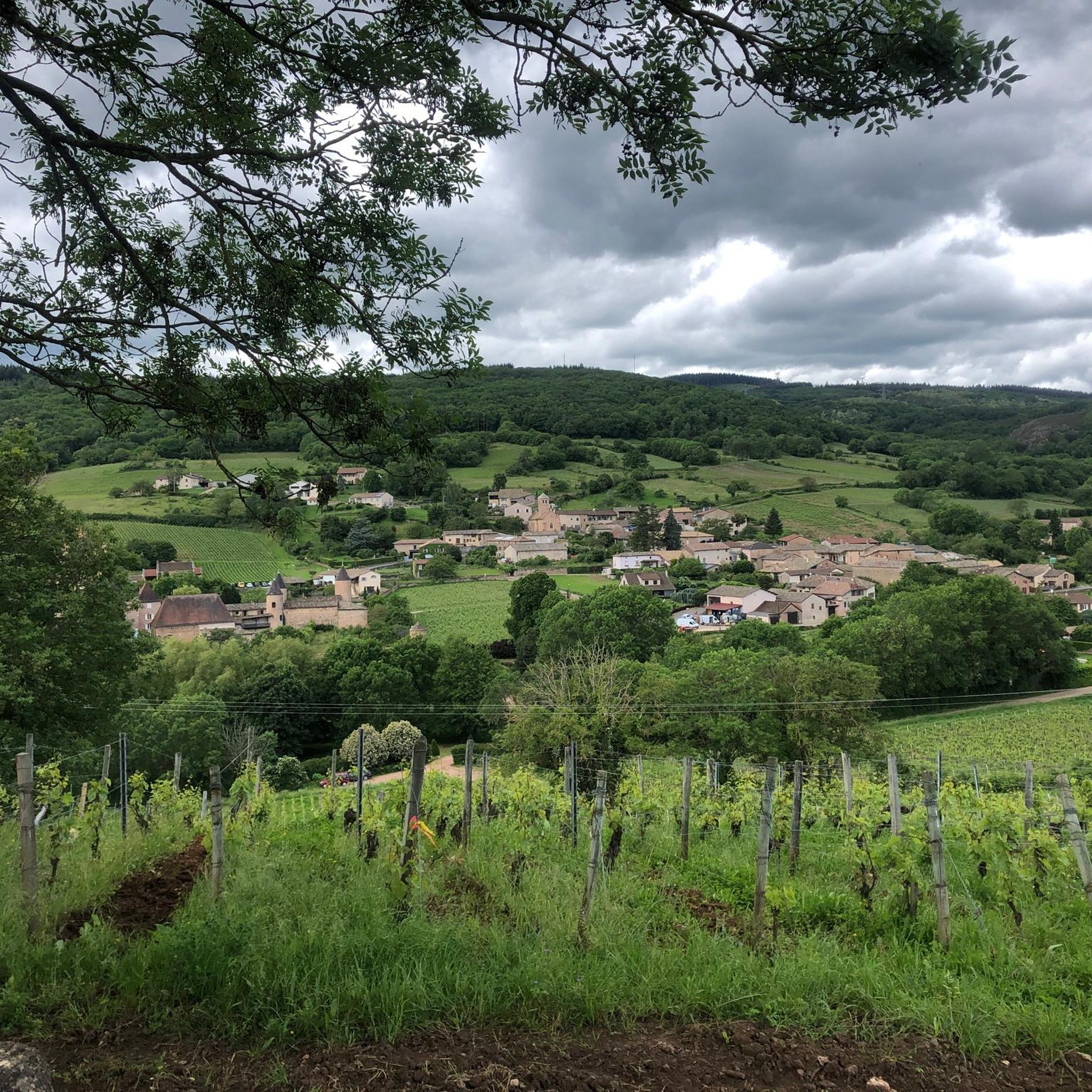
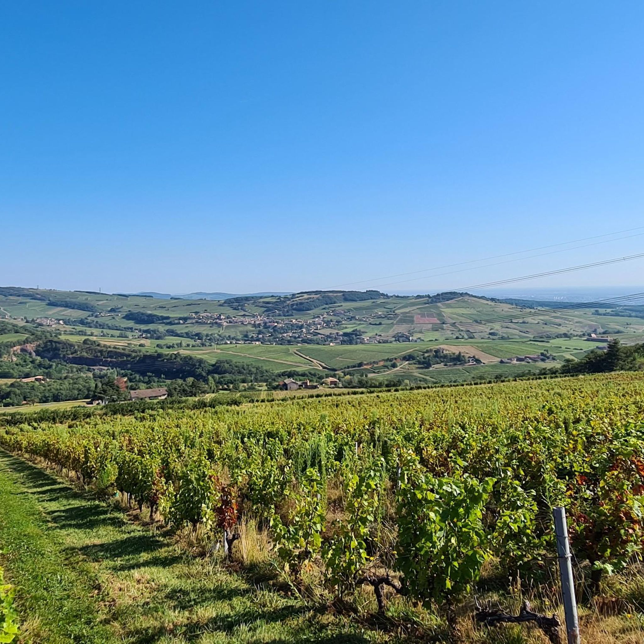
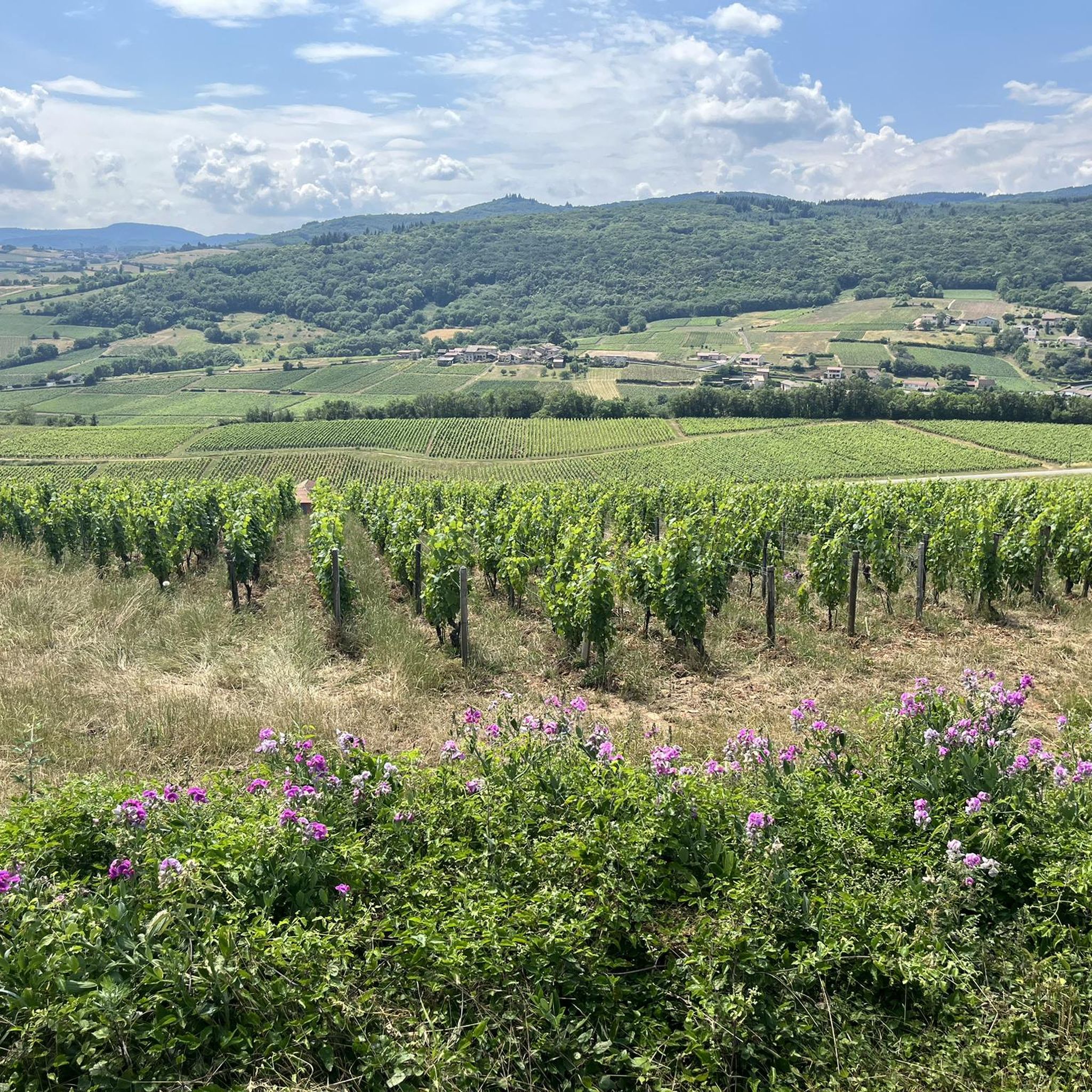
Hiking around Saint-Vérand offers routes through the Mâconnais region, characterized by extensive vineyards and gentle, rolling hills. The landscape features fossiliferous limestone and marly limestones, providing a distinct terroir for wine production. Trails often traverse these vineyards, connecting charming villages and offering scenic views over the surrounding countryside. The terrain is generally accessible, making it suitable for various fitness levels.
Best hiking trails around Saint-Vérand
- The most popular hiking route is Circuit de la Montagne de Remont, a 5.1…
Last updated: August 18, 2026
4.6
(26)
60
hikers
8.17km
02:31
290m
280m
Hike the moderate 5.1-mile Montagne Rémont loop through vineyards and woods, enjoying views over Juliénas and historical buildings.
4.0
(5)
50
hikers
10.3km
02:56
240m
240m
Moderate hike. Good fitness required. Easily-accessible paths. Suitable for all skill levels.

Sign up for free
4.5
(4)
43
hikers
10.4km
02:58
240m
240m
Moderate hike. Good fitness required. Easily-accessible paths. Suitable for all skill levels.
4.0
(2)
42
hikers
16.5km
05:00
570m
570m
Hard hike. Very good fitness required. Easily-accessible paths. Suitable for all skill levels.
4.8
(4)
30
hikers
4.97km
01:23
100m
100m
Easy hike. Great for any fitness level. Easily-accessible paths. Suitable for all skill levels.
Get access to more routes and recommendations from other explorers.
Sign up for free
Already have an account?
Our route recommendations are based on thousands of hikes, rides, and runs completed by other people on komoot.
Start today with a free account
Your next adventure awaits.
Login or Signup

Tips from the Community

The Rock of Solutré is a world-famous, 493-meter-high limestone rock in the south of the Burgundy region. It is located amidst the picturesque vineyards of the municipality of Solutré-Pouilly. The region is officially designated as a Grand Site de France. The hike to the summit is easy to moderate and very doable for families. It takes about 1 hour for the entire loop (approx. 4 kilometers round trip). The elevation gain is around 100 to 140 meters from the official parking lot on well-maintained paths with information panels, although there are many steps.
1
0
The Solutré Rock is a world-famous, 493-meter-high limestone cliff in the south of the Burgundy region. It is situated amidst the picturesque vineyards of the municipality of Solutré-Pouilly. The region is officially designated as a Grand Site de France. The hike to the summit is easy to moderate and well-suited for families. It takes about 1 hour for the entire circular route (approx. 4 kilometers round trip). The elevation gain is around 100 to 140 meters from the official parking lot, on well-maintained paths with information panels, although there are many steps.
0
0
The viewpoint is located in the well-known Beaujolais wine region, in the municipality of Chénas. It is an old stone ruin (historically often referred to as Cabane des Chasseurs or hunter's hut), which has been equipped with a modern metal staircase and a viewing platform. The ruin is located at 515 meters above sea level and offers hikers a spectacular 360-degree panoramic view of the surrounding vineyards and valleys of the region.
2
0

Pleasant walk for the start of the season. No difficulty, however, prefer dry weather and clear skies.
1
0

Mont Pouilly 481m above sea level with a magnificent panoramic view
1
0

Very nice view of Solutré, if you open your eyes carefully you can find surprises 😉
0
0

From here, there is a lovely view of Chasselas and the surrounding vineyards. Photography lovers, it’s time to get out there!
0
0
Frequently Asked Questions
How many hiking trails are available in Saint-Vérand?
There are over 270 hiking routes around Saint-Vérand, offering a wide range of options from easy strolls through vineyards to more challenging paths across the rolling hills. The komoot community has explored over 5,000 of these routes.
What kind of terrain can I expect on hikes around Saint-Vérand?
Hikes in Saint-Vérand primarily traverse vineyard landscapes and gentle, rolling hills. The terrain is generally accessible, characterized by fossiliferous limestone and marly limestones. You'll find well-maintained paths suitable for various fitness levels, with some routes featuring moderate elevation gains.
Are there easy hiking options suitable for beginners or families?
Yes, Saint-Vérand offers numerous easy hiking options perfect for beginners or families. For instance, the View of Solutré-Pouilly – Mount Pouilly loop from Leynes is an easy 4.9 km path with minimal elevation, taking just over an hour to complete. There are over 100 easy routes in the area.
Can I find circular hiking routes in Saint-Vérand?
Yes, many of the hiking routes in Saint-Vérand are circular, allowing you to start and end in the same location. A popular choice is the Circuit de la Montagne de Remont, a moderate 8.2 km loop that offers scenic views and takes about 2 hours 30 minutes.
Are dogs allowed on the hiking trails in Saint-Vérand?
Generally, dogs are welcome on most hiking trails in Saint-Vérand, especially those that pass through vineyards and natural areas. However, it's always recommended to keep them on a leash, particularly when passing through agricultural land or near livestock, and to check local regulations for specific routes or protected areas.
What natural features or landmarks can I see while hiking?
While hiking in Saint-Vérand, you can explore several notable natural monuments and viewpoints. Highlights include the iconic Roche de Solutré, the Vergisson Rock, and Rémont Mountain, which offers excellent panoramic views. These features provide stunning backdrops to the vineyard landscapes.
What is the best time of year to go hiking in Saint-Vérand?
The best time to hike in Saint-Vérand is typically from spring to autumn. Spring offers lush greenery and blooming vineyards, while autumn provides beautiful fall colors and harvest activity. Summer is also pleasant, though it can be warmer. The gentle terrain makes it enjoyable across these seasons.
Are there any longer or more challenging hikes available?
Yes, for those seeking a greater challenge, Saint-Vérand offers some more demanding routes. An example is the Mount Pouilly – View of La Roche de Solutré loop from Chasselas, a difficult 16.4 km trail with significant elevation gain, taking around 5 hours to complete. There are 23 difficult routes in the area.
What do other hikers say about the trails in Saint-Vérand?
The trails in Saint-Vérand are highly regarded by the komoot community, with an average rating of 4.6 stars from over 600 reviews. Hikers often praise the picturesque vineyard scenery, the charming village backdrops, and the well-maintained paths that make for an enjoyable experience.
Can I combine hiking with other activities like wine tasting in Saint-Vérand?
Absolutely. Saint-Vérand is located in the Mâconnais region, renowned for its vineyards and Saint-Véran AOC wine. Many hiking trails weave through these vineyards, making it easy to combine a scenic walk with visits to local wineries for tastings and to experience the region's rich viticultural heritage.
Are there any mountain passes I can explore near Saint-Vérand?
While Saint-Vérand is known for its rolling hills rather than high mountains, there are several passes in the surrounding area that offer scenic views and connect different valleys. Notable passes include the Col de la Grange du Bois and the Col de la Sibérie, which can be incorporated into longer hiking or cycling routes.
Where can I park when hiking in Saint-Vérand?
Parking is generally available in or near the villages that serve as trailheads for hikes in Saint-Vérand. Look for designated parking areas in villages like Leynes or Chaintré, which are common starting points for many popular routes. Specific parking information can often be found on individual route descriptions.
Most popular routes around Saint-Vérand
Most popular attractions around Saint-Vérand

Get inspired with the komoot mobile app


Explore more
Browse the best Hikes in other regions.
