The best road cycling routes around Saint-May
4.6
(227)
4,859
riders
82
rides
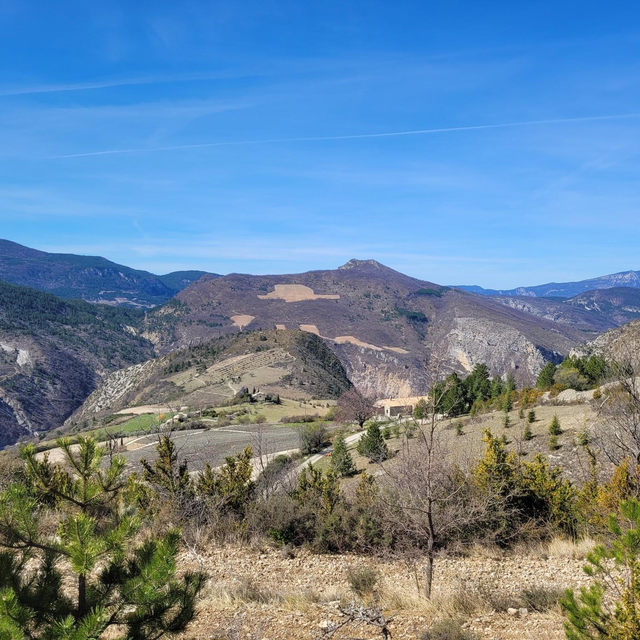
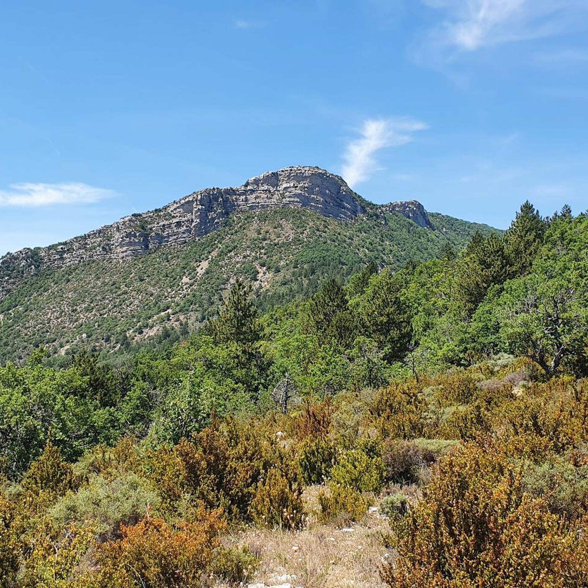
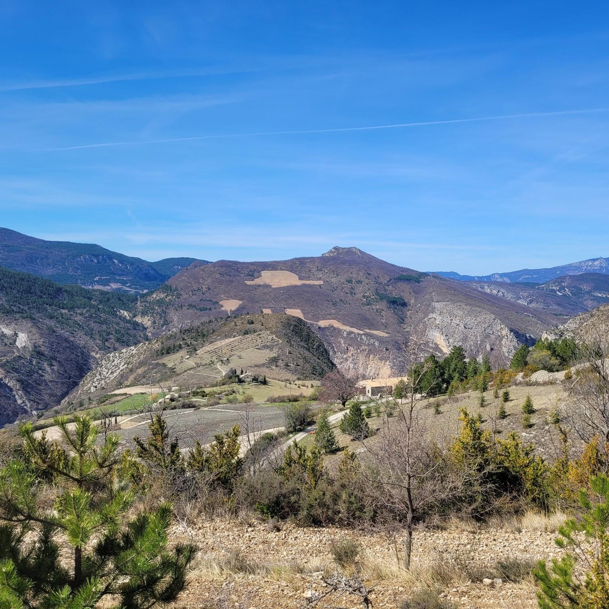
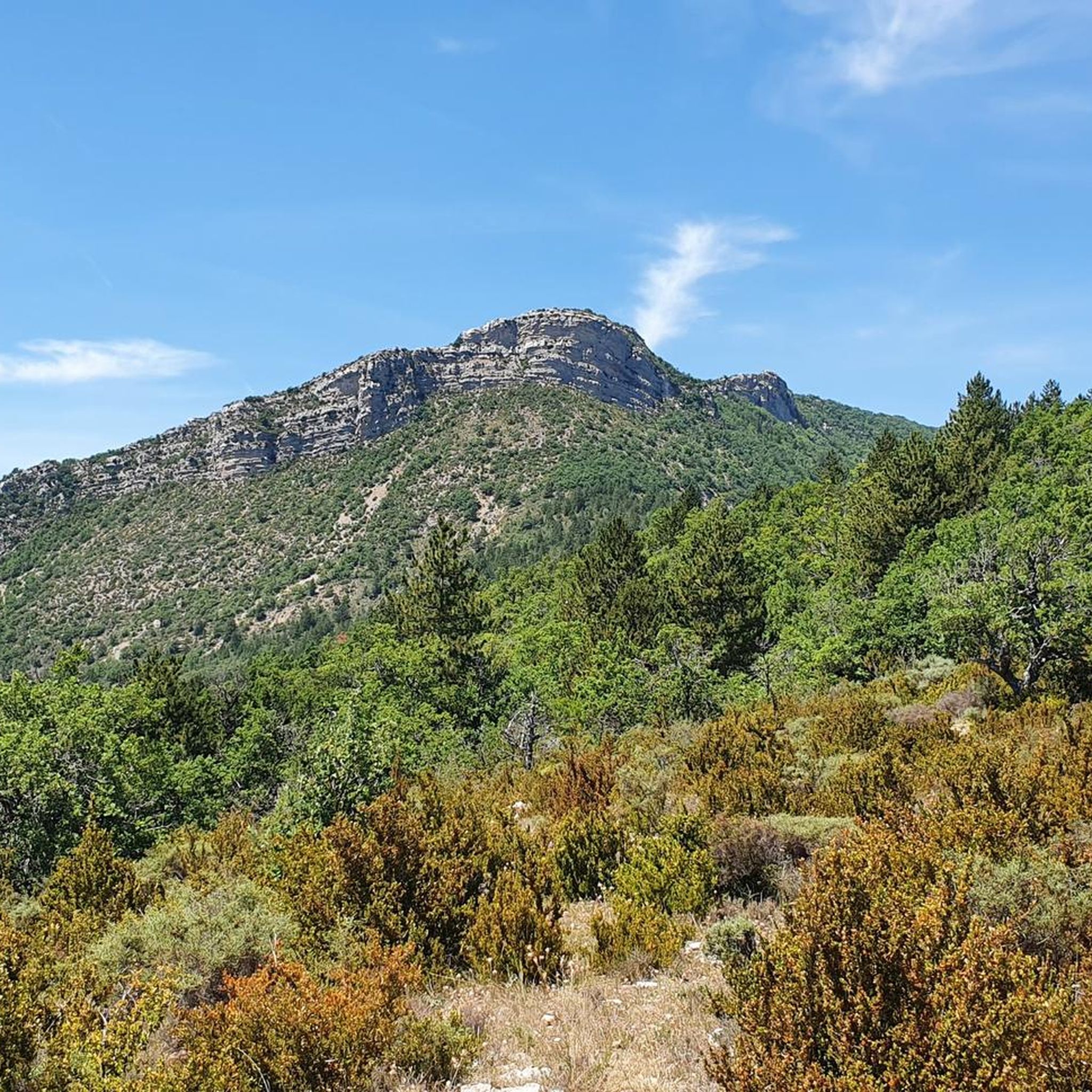
Road cycling routes around Saint-May navigate a landscape characterized by varied terrain, including climbs over mountain passes and descents through valleys. The region offers a network of roads suitable for cycling, with routes that feature significant elevation changes. This area provides opportunities for road cyclists to experience different gradients and distances.
Best road cycling routes around Saint-May
- The most popular road cycling route is Col de Soubeyrand - Le Poët-Sigillat Loop, a 18.8 miles (30.2 km) trail that takes…
Last updated: October 12, 2026
4.5
(2)
10
riders
30.2km
01:51
790m
790m
Moderate road ride. Good fitness required. Mostly well-paved surfaces and easy to ride.
4.9
(21)
372
riders
62.6km
03:11
1,050m
1,050m
Hard road ride. Very good fitness required. Mostly well-paved surfaces and easy to ride.

4.8
(8)
275
riders
92.9km
04:53
1,770m
1,770m
Hard road ride. Very good fitness required. Mostly well-paved surfaces and easy to ride.
5.0
(1)
134
riders
111km
05:51
2,090m
2,090m
Hard road ride. Very good fitness required. Mostly well-paved surfaces and easy to ride.
3.0
(2)
86
riders
62.6km
03:05
920m
920m
Hard road ride. Very good fitness required. Mostly well-paved surfaces and easy to ride.
Get access to more routes and recommendations from other explorers.
Already have an account?
Our route recommendations are based on thousands of hikes, rides, and runs completed by other people on komoot.
Start today with a free account
Your next adventure awaits.

Tips from the Community

A very welcome water point by the roadside
0
0

Excellent lunch at the Auberge de l'Oule in Cornillon, don't hesitate!
0
0

The Col de Pennes (1,038 m) is a pass in the Diois massif, in the Drôme, which connects the Drôme valley with the Roanne valley. It is a little-known climb but highly appreciated by cyclists for the tranquility of the road, the good asphalt and the splendid panoramas.
10
0
Here nature has given its best.
9
0
The Col de Tavard is a small pass in the Drôme, in the Auvergne-Rhône-Alpes region, in the southeast of France.
9
0
Simply stunning viewpoint.
7
0
Building maintained in excellent condition.
10
0
Traffic-free road. A truly sublime passage through the Alps.
7
0
Frequently Asked Questions
What kind of terrain can I expect on road cycling routes around Saint-May?
The road cycling routes around Saint-May are characterized by varied terrain, including significant climbs over mountain passes and descents through valleys. You'll find a network of roads with notable elevation changes, offering a diverse experience for road cyclists.
Are there easy road cycling routes suitable for beginners in Saint-May?
Yes, Saint-May offers routes for various ability levels. While many routes feature significant climbs, there are 7 routes classified as easy. These provide a good starting point for those new to road cycling in the area.
Can I find challenging road cycling routes with significant climbs near Saint-May?
Absolutely. Saint-May is known for its challenging routes with substantial elevation gains. For instance, the Travard Pass – Col de Pennes loop from Rémuzat is a difficult 111 km route with over 2000 meters of elevation gain. Another demanding option is the Col d'Ey (718 m) – Col de la croix rouge (507m) loop from Rémuzat, which covers nearly 93 km and includes multiple mountain passes.
Are there any long-distance road cycling routes available?
Yes, for those seeking longer rides, Saint-May offers several extended routes. The Travard Pass – Col de Pennes loop from Rémuzat spans over 111 km, and the Lescoux Pass – Nyons Roman Bridge loop from Rémuzat is nearly 100 km long, both providing extensive cycling experiences.
What do other road cyclists think about the routes in Saint-May?
The routes in Saint-May are highly rated by the komoot community, with an average score of 4.7 stars from over 200 reviews. More than 4000 road cyclists have used komoot to explore the area's varied terrain, often praising the challenging climbs and scenic descents.
Are there circular road cycling routes around Saint-May?
Many of the road cycling routes around Saint-May are designed as loops, allowing you to start and finish at the same point. Examples include the popular Col de Soubeyrand - Le Poët-Sigillat Loop and the more challenging Sausse Pass – Gorges de Trente-Pas loop from Rémuzat.
What scenic viewpoints or natural attractions can I see along the road cycling routes?
While cycling, you might encounter several scenic spots. Notable natural attractions include the Rocher du Caire, which offers impressive views, and the dramatic Gorges de Trente-Pas. Mountain passes like Col de Soubeyrand and Sausse Pass also provide memorable vistas.
Are there any historical landmarks or settlements to explore near the routes?
Yes, you can find interesting landmarks and settlements. Villeperdrix is a settlement you might pass through, and the historic La Charce Castle is another point of interest in the vicinity.
How many road cycling routes are available in the Saint-May area?
There are nearly 80 road cycling routes documented around Saint-May, offering a wide range of options for different skill levels and preferences.
What is the average duration for a road cycling route in Saint-May?
The duration of routes varies significantly based on distance and difficulty. For example, a moderate route like the Col de Soubeyrand - Le Poët-Sigillat Loop typically takes around 1 hour 51 minutes, while more challenging long-distance routes can take 4-5 hours or more.
Are there any specific natural monuments to look out for?
Beyond the general scenic beauty, you might encounter unique natural monuments such as Le Trou de Souris Rock Arch and the summit of Montagne de Raton, which add to the natural appeal of the area.
Most popular attractions around Saint-May

Get inspired with the komoot mobile app


Explore more
Browse the best Road cycling routes in other regions.
