The best road cycling routes around Jujols
4.2
(39)
1,758
riders
31
rides
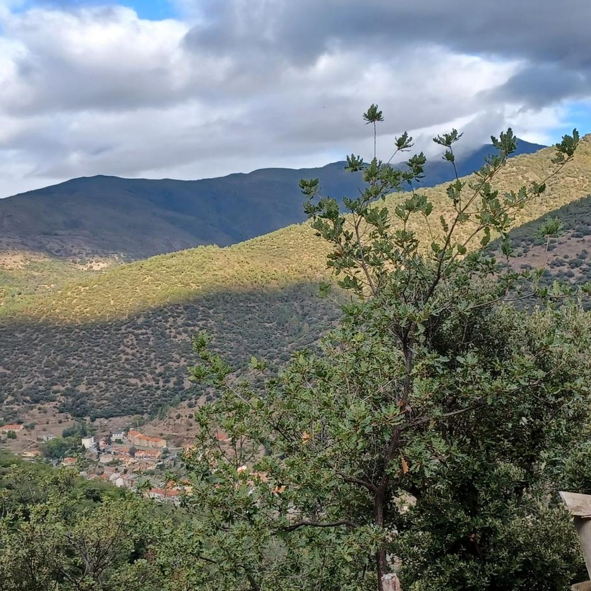
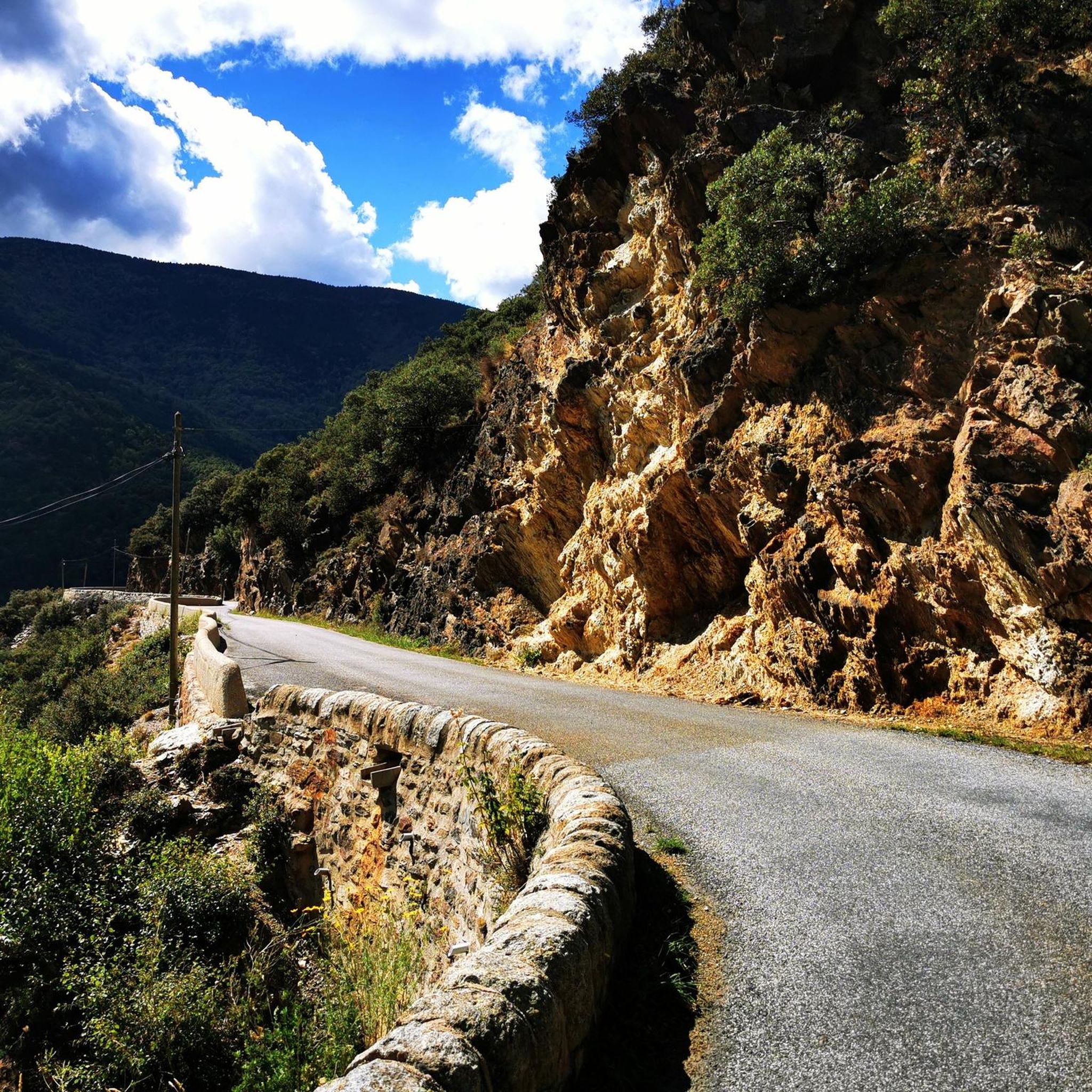
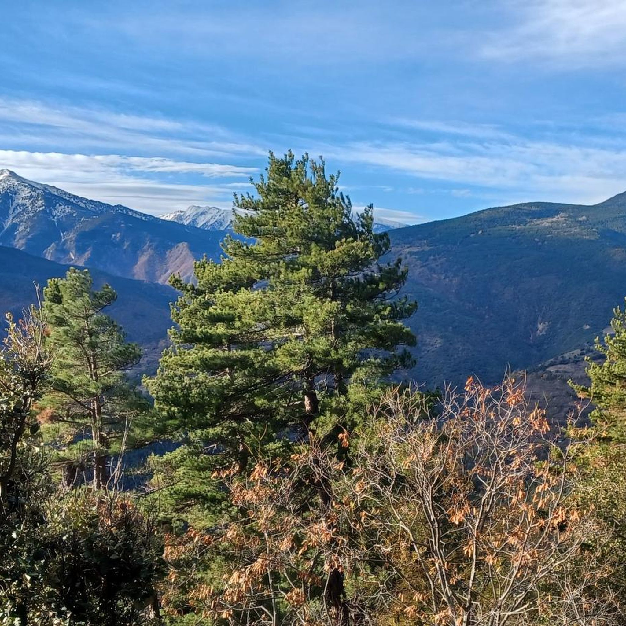
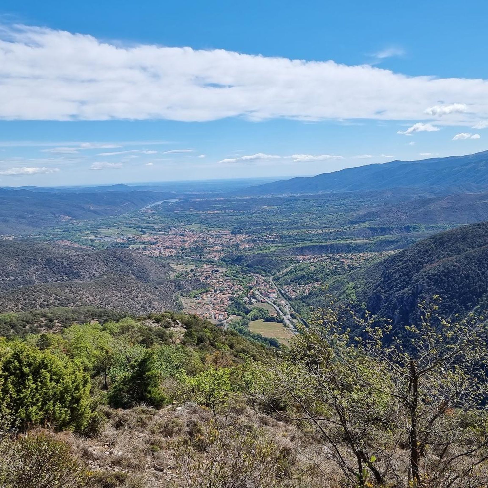
Road cycling routes around Jujols are situated in the mountainous Haut-Conflent region of the Pyrénées-Orientales, characterized by its diverse geology including slaty shales, schists, and limestone masses. The terrain features significant altitudinal gains, with winding and steep roads ascending towards Mont Coronat, offering challenging climbs. The area is part of the eastern Pyrenees, known for its natural environment encompassing forests, heathlands, and natural pastures.
Best road cycling routes around Jujols
- The most popular road cycling route is Ascent of Mont-Louis…
Last updated: July 4, 2026
129
riders
51.2km
03:11
1,390m
1,390m
Hard road ride. Very good fitness required. Mostly well-paved surfaces and easy to ride.
5.0
(5)
775
riders
70.2km
04:20
1,850m
1,850m
Hard road ride. Very good fitness required. Some segments of this route may be unpaved and difficult to ride.

Sign up for free
49
riders
73.7km
03:54
1,350m
1,350m
Hard road ride. Very good fitness required. Mostly well-paved surfaces and easy to ride.
21
riders
39.6km
02:31
1,130m
1,130m
Hard road ride. Very good fitness required. Some segments of this route may be unpaved and difficult to ride.
20
riders
Hard road ride. Very good fitness required. Mostly well-paved surfaces and easy to ride.
Get access to more routes and recommendations from other explorers.
Sign up for free
Already have an account?
Our route recommendations are based on thousands of hikes, rides, and runs completed by other people on komoot.
Start today with a free account
Your next adventure awaits.
Login or Signup

Tips from the Community

The Grand Menhir of Counozouls weighs 50 tons and is 8.9m high. It is the largest menhir in Southern France.
1
0

Quite a bit of traffic, but a pretty port, especially the final section.
0
0

It's an ideal spot for a picnic. It's also an ideal place for groups of cyclists supported by vans, as there's plenty of space here to relax and not disturb anyone. The lake is at an elevated point, so accessing it from La Llagonne or Les Angles requires a steep climb, always at a lower gradient.
0
0

Small pass at the exit of Ayguatebia which leads back to the Col de Creu. Not cleared of snow from November to March.
0
0
Fountain in the charming little village of Ayguatebia to refill your water before the final of the Col de la Llose or the Col de Jouël.
0
0


A very pleasant route in summer thanks to the coolness and the constant presence of the Saint-Vincent River, which flows down from the Conques du Canigó. The atmosphere of these gorges and the roar of the waterfalls will enchant you. Be careful, as this steep trail carries a risk of falling rocks and boulders. Follow the signs. Do not use during storms, rain, or flooding. Cross the stream via a ford at the second waterfall. Rocky path. Hiking boots are strongly recommended. Note: The trail is closed from September 30th to April 1st (municipal decree in effect).
16
0
Frequently Asked Questions
How many road cycling routes are available around Jujols?
There are over 25 road cycling routes around Jujols, offering a diverse range of experiences. You'll find options catering to various skill levels, including 2 easy routes, 10 moderate routes, and 13 challenging routes, all set within the mountainous Haut-Conflent region.
What kind of terrain can I expect on road cycling routes in Jujols?
Road cycling in Jujols is characterized by mountainous terrain with significant altitudinal gains. Routes feature winding and often steep roads, including high mountain passes, as you ascend towards Mont Coronat. The geological diversity, with slaty shales, schists, and limestone masses, contributes to varied gradients and scenic backdrops across the eastern Pyrenees.
What are some challenging road cycling routes in the Jujols area?
For those seeking a challenge, routes like the Ascent of Mont-Louis and col de la Llose offer significant elevation gain over 31.8 miles. Another demanding option is the Col de la Creu – Col de la Llose loop from Olette, a 43.6-mile path with extensive mountain scenery and demanding climbs. The Beautiful mountain road – Col de la Llose loop from Serdinya is also a popular choice for experienced cyclists, covering 51.6 miles through high mountain passes.
Are there any scenic viewpoints or natural features to look out for on the cycling routes?
Absolutely. The region is rich in natural beauty. As you cycle, you'll pass through forests, heathlands, and natural pastures. The Carança Corniche and the dramatic Footbridges of the Carançà Gorge offer spectacular views. You might also encounter the serene Saint-Vincent Waterfall, providing picturesque stops along your ride.
What do other road cyclists enjoy most about road cycling in Jujols?
The road cycling experience in Jujols is highly rated by the komoot community, with an average score of 4.4 stars from over 20 reviews. Cyclists often praise the challenging ascents, the extensive mountain scenery, and the tranquil environment provided by the village's altitude and isolation. The diverse terrain, from winding roads to high mountain passes, is also a significant draw.
What is the best time of year for road biking in Jujols?
The mountainous nature of Jujols suggests that late spring, summer, and early autumn are generally the best times for road cycling. During these periods, the weather is typically more stable, and mountain passes are clear of snow, allowing for optimal conditions to enjoy the challenging climbs and scenic routes. Always check the local weather forecast before heading out.
Are there any historical or cultural landmarks accessible by road bike near Jujols?
Yes, Jujols serves as a gateway to several significant historical and cultural sites. You can cycle towards the UNESCO World Heritage site of Villefranche-de-Conflent, known for its Vauban fortifications. The fortified town of Mont-Louis is also within reach. The village of Jujols itself features the well-preserved 11th-century Saint-Julien Church and remnants of ancient fortifications.
Are there any circular road cycling routes around Jujols?
Yes, many of the routes in the region are designed as loops, allowing you to start and end in the same location. Examples include the Col de la Creu – Col de la Llose loop from Olette and the Beautiful mountain road – Col de la Llose loop from Serdinya. These circular routes are excellent for exploring the diverse Pyrenean landscape.
Where can I find parking for road cycling in the Jujols area?
While specific parking details for Jujols are not extensively detailed, Olette, a nearby town, is a common starting point for many routes and offers parking options for cyclists. It's advisable to check local signage upon arrival in Jujols or Olette for designated parking areas suitable for longer stays while you cycle.
Can I access road cycling routes around Jujols using public transport?
Public transport options in mountainous regions like Jujols can be limited. While some regional bus services might connect to larger towns like Olette, direct access to Jujols itself via public transport with a bike might require careful planning. It's recommended to check local transport schedules and bike carriage policies in the Pyrénées-Orientales region beforehand.
Are there any cafes or places to stop for refreshments along the road cycling routes?
While Jujols is a secluded village, larger nearby towns like Olette offer amenities such as cafes and restaurants where you can refuel. For routes passing through or near other villages, you may find small local establishments. It's always a good idea to carry sufficient water and snacks, especially on longer or more remote routes, as stops might be infrequent.
Are there any easy or beginner-friendly road cycling routes in Jujols?
While Jujols is known for its challenging mountainous terrain, the region does offer some less demanding options. There are 2 routes classified as easy and 10 as moderate among the total of 25 routes. These routes provide a gentler introduction to road cycling in the Pyrenees, though they may still involve some elevation gain typical of the area.
What is the Jujols National Nature Reserve, and how does it relate to cycling?
The Jujols National Nature Reserve is a protected area covering approximately 472 hectares, known for its diverse geology and rich biodiversity. While the reserve itself is primarily for hiking and nature observation, the road cycling routes often traverse its periphery or offer stunning views of its landscapes, including forests, heathlands, and natural pastures. It contributes to the pristine and tranquil environment enjoyed by cyclists.
Most popular attractions around Jujols

Get inspired with the komoot mobile app


Explore more
Browse the best Road cycling routes in other regions.
