The best road cycling routes around Curnier
4.5
(320)
7,694
riders
81
rides
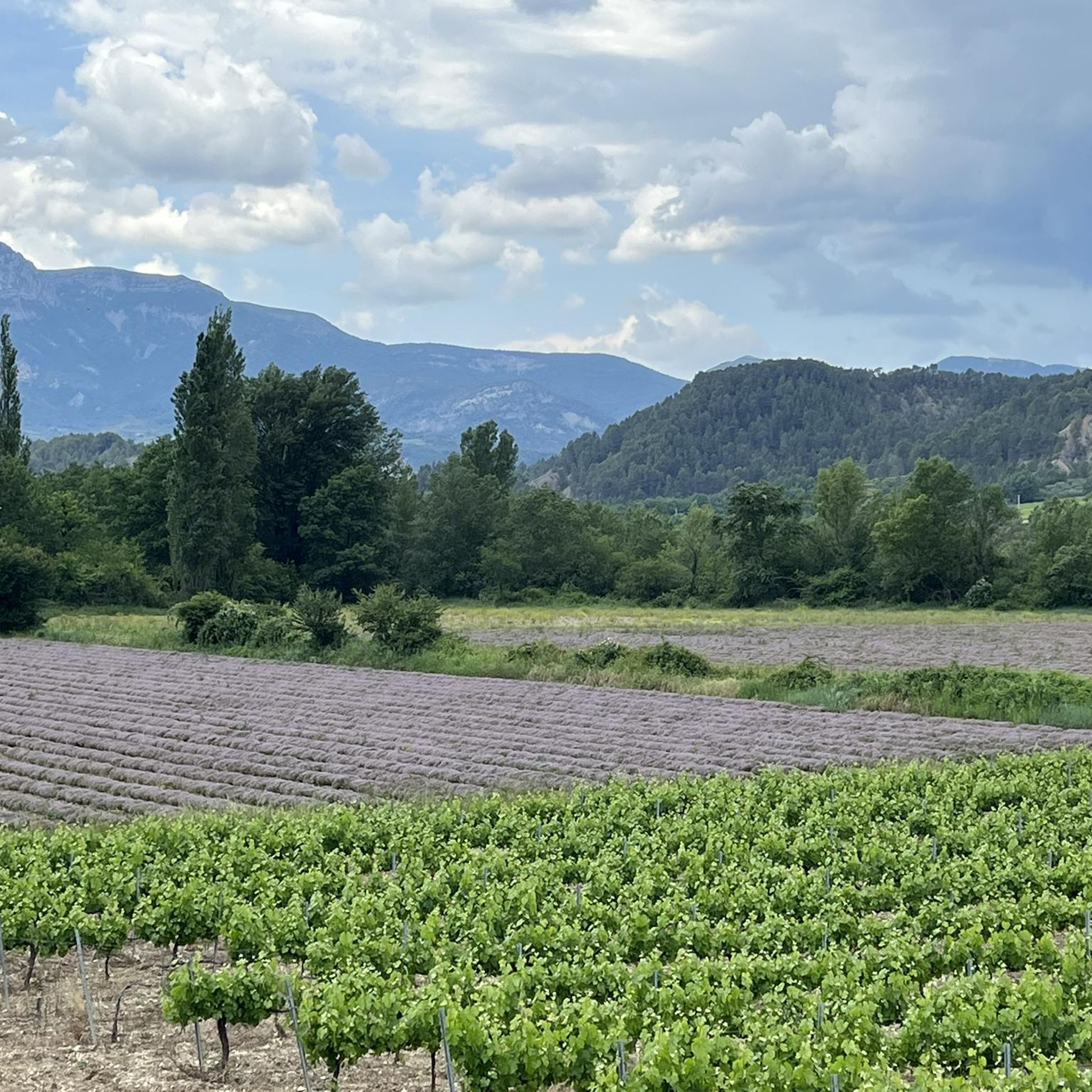
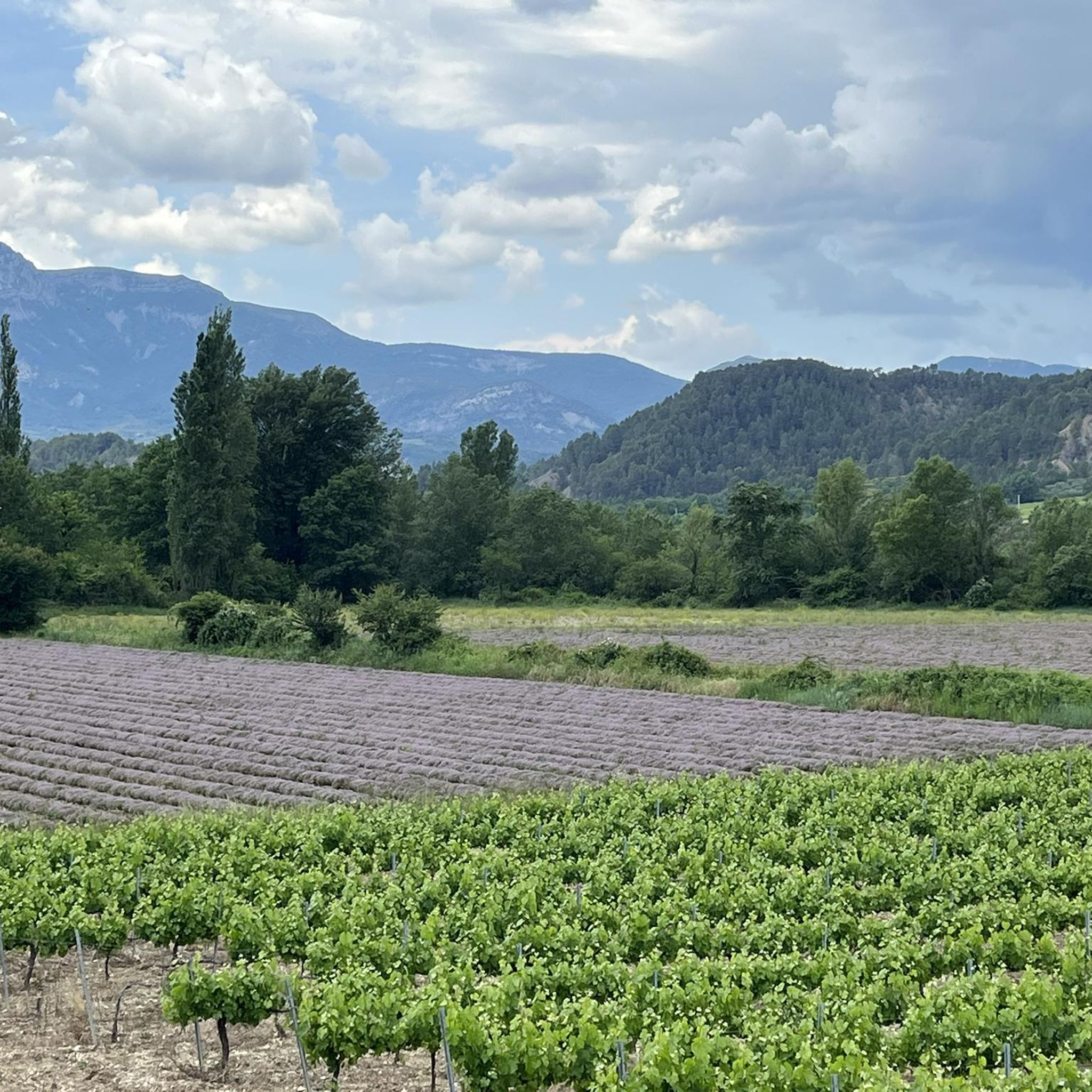
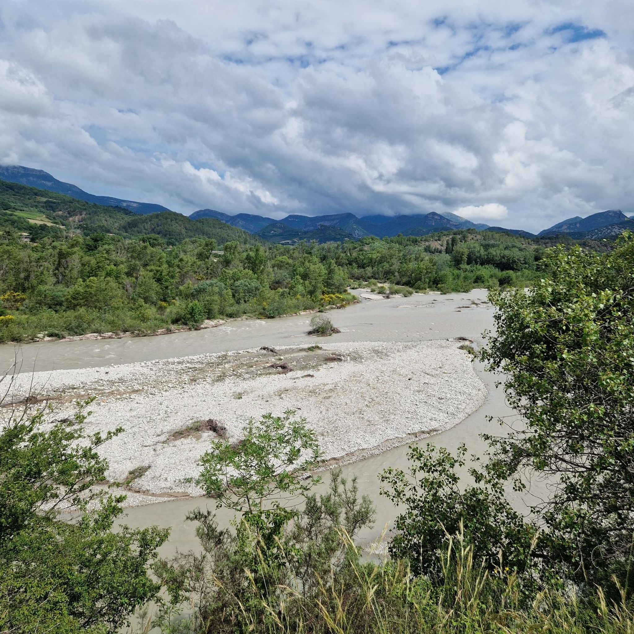
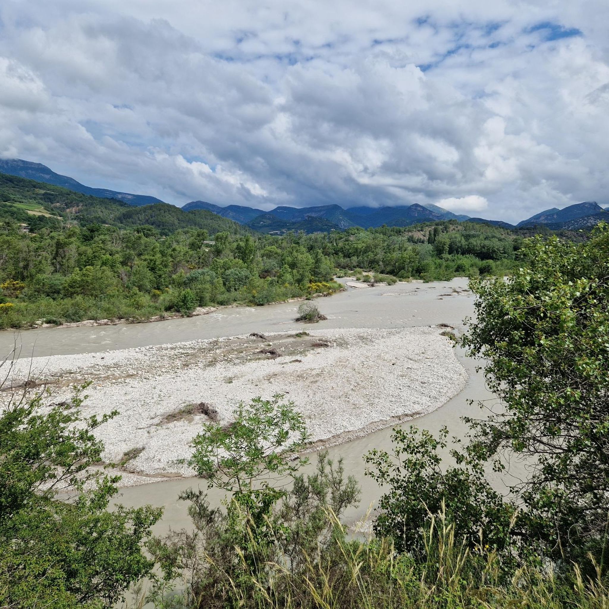
Road cycling routes around Curnier traverse a landscape characterized by small valleys, extensive vineyards, and distinctive folded rock formations. The region offers a combination of challenging mountain passes and picturesque routes through varied terrain. Elevated points like Col de la Croix Rouge and Col d'Ey provide expansive views of the surrounding valleys and geological features. The area's well-maintained roads cater to road cyclists seeking both sport and scenic beauty.
Best road cycling routes around Curnier
- The most popular road cycling…
Last updated: June 30, 2026
4.8
(17)
307
riders
64.5km
03:33
1,170m
1,170m
Hard road ride. Very good fitness required. Some segments of this route may be unpaved and difficult to ride.
5.0
(3)
147
riders
115km
06:14
2,310m
2,310m
Hard road ride. Very good fitness required. Some segments of this route may be unpaved and difficult to ride.

Sign up for free
5.0
(3)
83
riders
77.5km
03:45
1,140m
1,150m
Hard road ride. Very good fitness required. Mostly well-paved surfaces and easy to ride.
4.7
(3)
27
riders
36.4km
01:43
480m
480m
Moderate road ride. Good fitness required. Mostly well-paved surfaces and easy to ride.
4.5
(2)
52
riders
37.9km
01:44
450m
450m
Moderate road ride. Good fitness required. Mostly well-paved surfaces and easy to ride.
Get access to more routes and recommendations from other explorers.
Sign up for free
Already have an account?
Our route recommendations are based on thousands of hikes, rides, and runs completed by other people on komoot.
Start today with a free account
Your next adventure awaits.
Login or Signup

Tips from the Community

For cyclists it's a climb: * Length: approx. 7 km * Elevation gain: approx. 320 m * Average gradient: 4.6% * Maximum gradient: approx. 5%
5
0
This is truly a spectacular spot.
5
0
The Col de Soubeyrand (987–994 m, depending on the map source) is located in the Drôme department, in the Auvergne-Rhône-Alpes region, within the Baronnies provençales massif. It connects the Eygues valley with the Ennuye valley, between the villages of Rémuzat and Sainte-Jalle.
7
0
The Col de Peyruergue (794 m) is a pass located in the Drôme department, within the Parc naturel régional des Baronnies provençales. It connects the Ennuye valley with that of the Ouvèze, near Saint-Sauveur-Gouvernet.
6
0
Spot for taking unforgettable photos.
7
0

Here, right in front of the school, water bottles can be refilled.
1
0

Breathtaking ride through this unique moonscape.
0
0

Excellent workout for cardio
0
0
Frequently Asked Questions
How many road cycling routes are available around Curnier?
There are over 80 road cycling routes around Curnier, offering a diverse range of experiences. These include 9 easy routes, 49 moderate routes, and 24 difficult routes, catering to various skill levels.
What kind of terrain can I expect when road cycling near Curnier?
Road cycling around Curnier features a varied landscape of small valleys, extensive vineyards, and distinctive folded rock formations. You'll encounter well-maintained roads, picturesque routes through diverse terrain, and challenging mountain passes like Col de la Croix Rouge and Col d'Ey.
Are there road cycling routes suitable for beginners in Curnier?
Yes, Curnier offers several options for beginners. There are 9 easy road cycling routes available. For example, the Roadbike loop from Les Pilles is an easy 18.5 km path that provides a pleasant introduction to the area's cycling.
What scenic viewpoints can I discover on road cycling routes near Curnier?
Many routes offer stunning vistas. The Col d'Ey – Col de Soubeyrand loop from Nyons provides breathtaking views, especially of the north face of Mont Ventoux from Col d'Ey. Another notable point is Col de la Croix Rouge, which offers expansive panoramas of the surrounding valleys and geological features.
Are there challenging road cycling routes around Curnier for experienced cyclists?
Absolutely. Curnier is known for its challenging mountain passes. There are 24 difficult routes, including the Col de la croix rouge (507m) – Red Cross Pass loop from Curnier, a 114.5 km trail with significant elevation gain. The final kilometer of the Col de la Croix Rouge itself presents gradients up to 10%.
What do other cyclists say about road cycling in Curnier?
The road cycling routes in Curnier are highly rated by the komoot community, with an average score of 4.6 stars from over 300 reviews. Cyclists often praise the well-maintained roads, the combination of challenging climbs and scenic beauty, and the diverse terrain that includes vineyards and folded rock formations.
Are there any circular road cycling routes in the Curnier area?
Yes, many of the road cycling routes around Curnier are circular, allowing you to start and finish in the same location. Examples include the popular Col d'Ey – Col de Soubeyrand (994 m) loop from Nyons and the Amayon Torrent Gorge – Gorges de l’Eygues loop from Curnier.
What natural attractions can I see along the road cycling routes?
The region is rich in natural beauty. You can encounter impressive geological features like the Rocher du Caire, the dramatic Gorges de Trente-Pas, and the unique Le Trou de Souris Rock Arch. The Gorges de l’Eygues also offer stunning scenery.
Are there any historical or cultural sites to visit near the cycling routes?
Yes, the area around Curnier has several charming villages and historical sites. You might pass through villages like Les Pilles, known for its riverside location. The Roman Bridge in Nyons, a remarkable 14th-century single-arch structure, is also a notable historical landmark in the wider region.
Can I find routes that explore gorges and valleys around Curnier?
Definitely. The region is characterized by its valleys and gorges. The Amayon Torrent Gorge – Gorges de l’Eygues loop from Curnier is a moderate route specifically designed to explore these scenic natural features.
What is the best time of year for road cycling in Curnier?
The region around Curnier generally offers pleasant cycling conditions for much of the year. Spring and autumn are often ideal, with milder temperatures and beautiful scenery. Summer can be warm, so early morning rides are recommended during peak season.
Are there routes that pass through vineyards?
Yes, the landscape around Curnier is characterized by extensive vineyards. Many routes, such as the Col de la croix rouge (507m) – Red Cross Pass loop from Curnier, lead through these picturesque vineyards, offering a charming backdrop to your ride.
Most popular attractions around Curnier

Get inspired with the komoot mobile app


Explore more
Browse the best Road cycling routes in other regions.
