The best road cycling routes around Chaudebonne
4.6
(237)
5,051
riders
93
rides
Road cycling around Chaudebonne offers a diverse landscape characterized by mountainous and hilly terrain within the Drôme department. The commune itself is situated at altitudes between 800 and 1300 meters, providing significant elevation changes suitable for challenging road cycling. The region features views of Mont-Angèle, the picturesque Gorges de Trente Pas, and prominent cliffs like Rocher du Caire. This lush green environment provides varied routes for road cyclists.
Best road cycling routes around Chaudebonne
- The most popular road cycling route…
Last updated: October 16, 2026
4.4
(25)
401
riders
Moderate road ride. Good fitness required. Mostly well-paved surfaces and easy to ride.
4.0
(10)
265
riders
64.3km
03:15
1,070m
1,070m
Hard road ride. Very good fitness required. Mostly well-paved surfaces and easy to ride.

3.3
(3)
178
riders
71.5km
03:58
1,560m
1,560m
Hard road ride. Very good fitness required. Mostly well-paved surfaces and easy to ride.
4.9
(8)
136
riders
48.0km
02:18
690m
690m
Moderate road ride. Good fitness required. Mostly well-paved surfaces and easy to ride.
5.0
(23)
286
riders
39.9km
02:04
730m
720m
Moderate road ride. Good fitness required. Mostly well-paved surfaces and easy to ride.
Get access to more routes and recommendations from other explorers.
Already have an account?
Our route recommendations are based on thousands of hikes, rides, and runs completed by other people on komoot.
Start today with a free account
Your next adventure awaits.
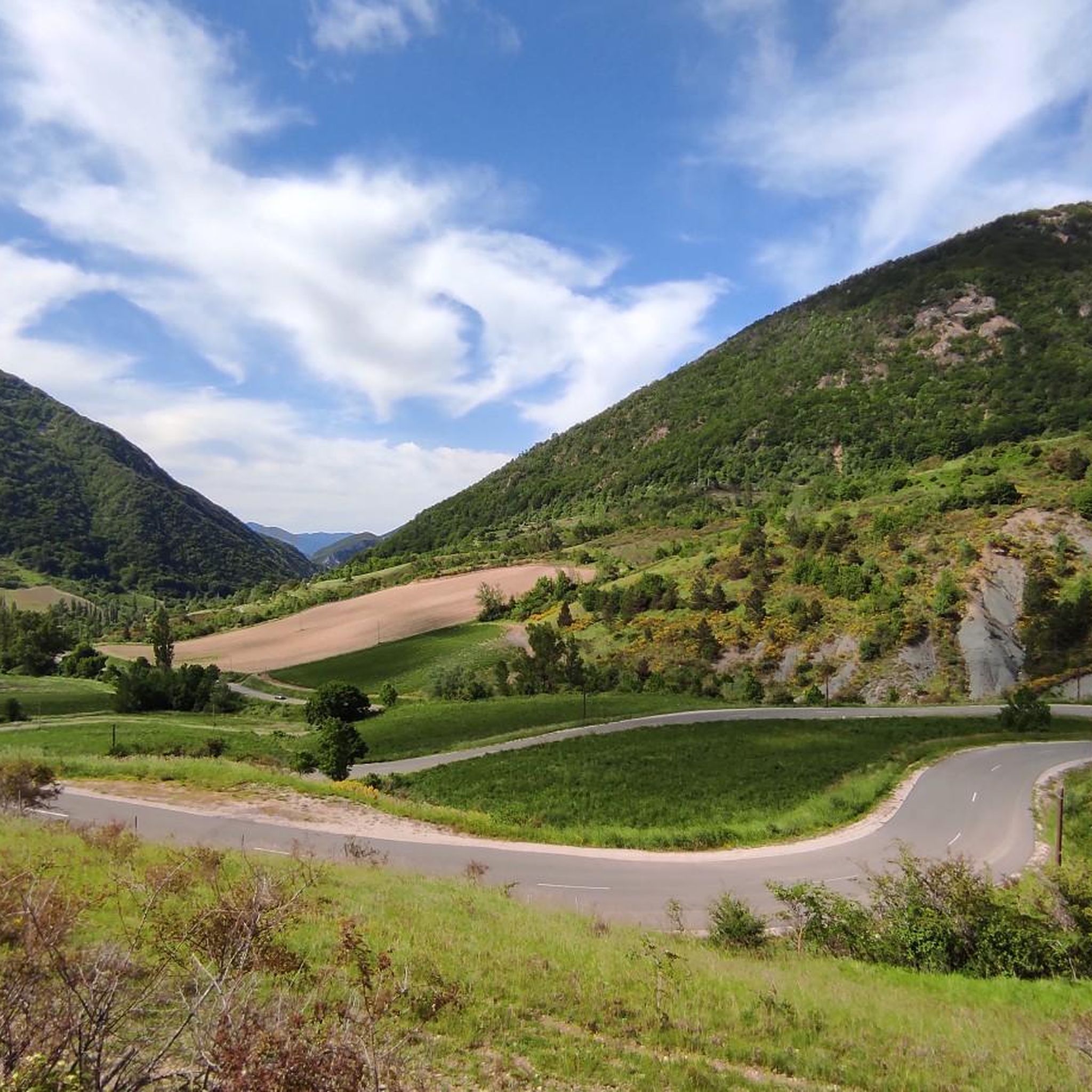
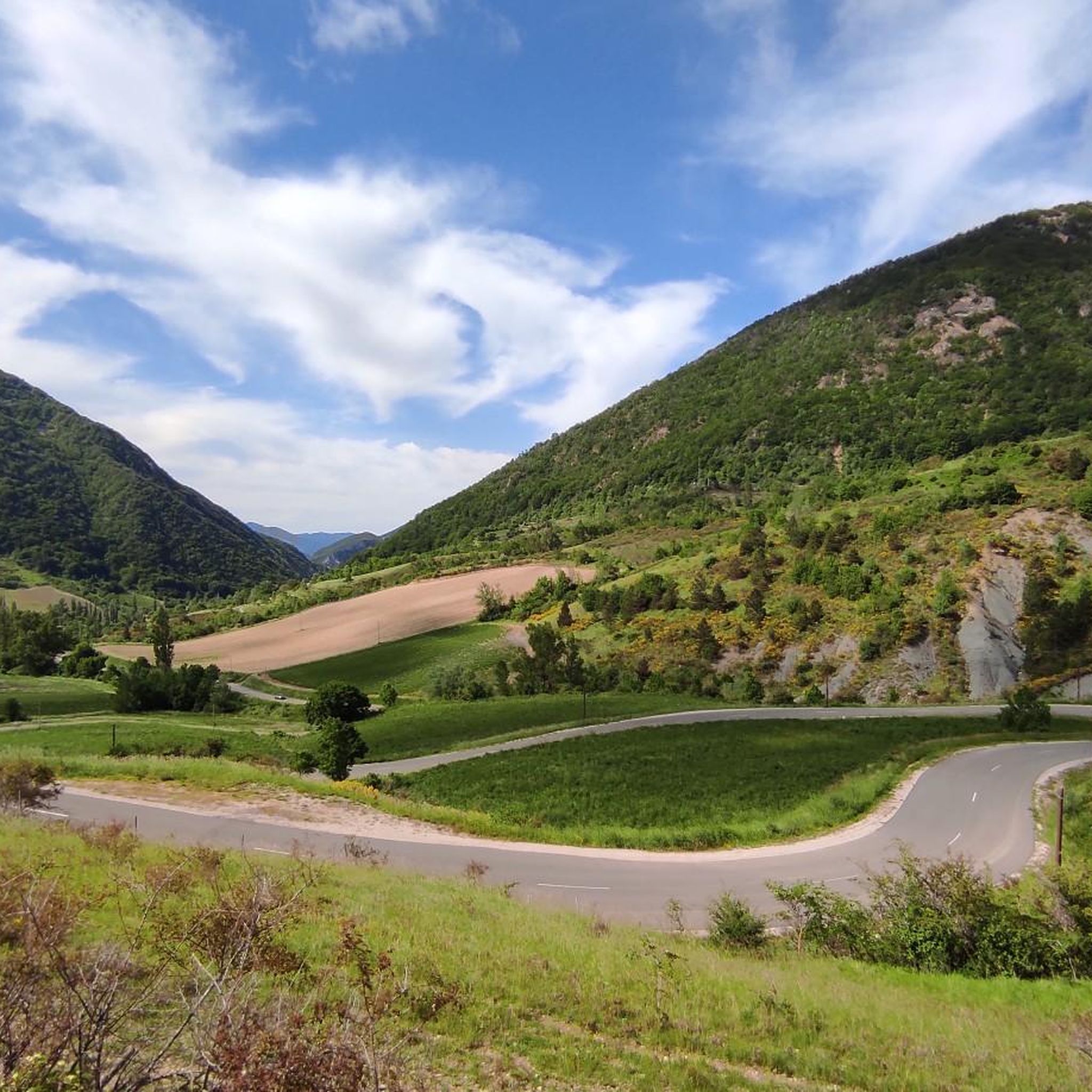
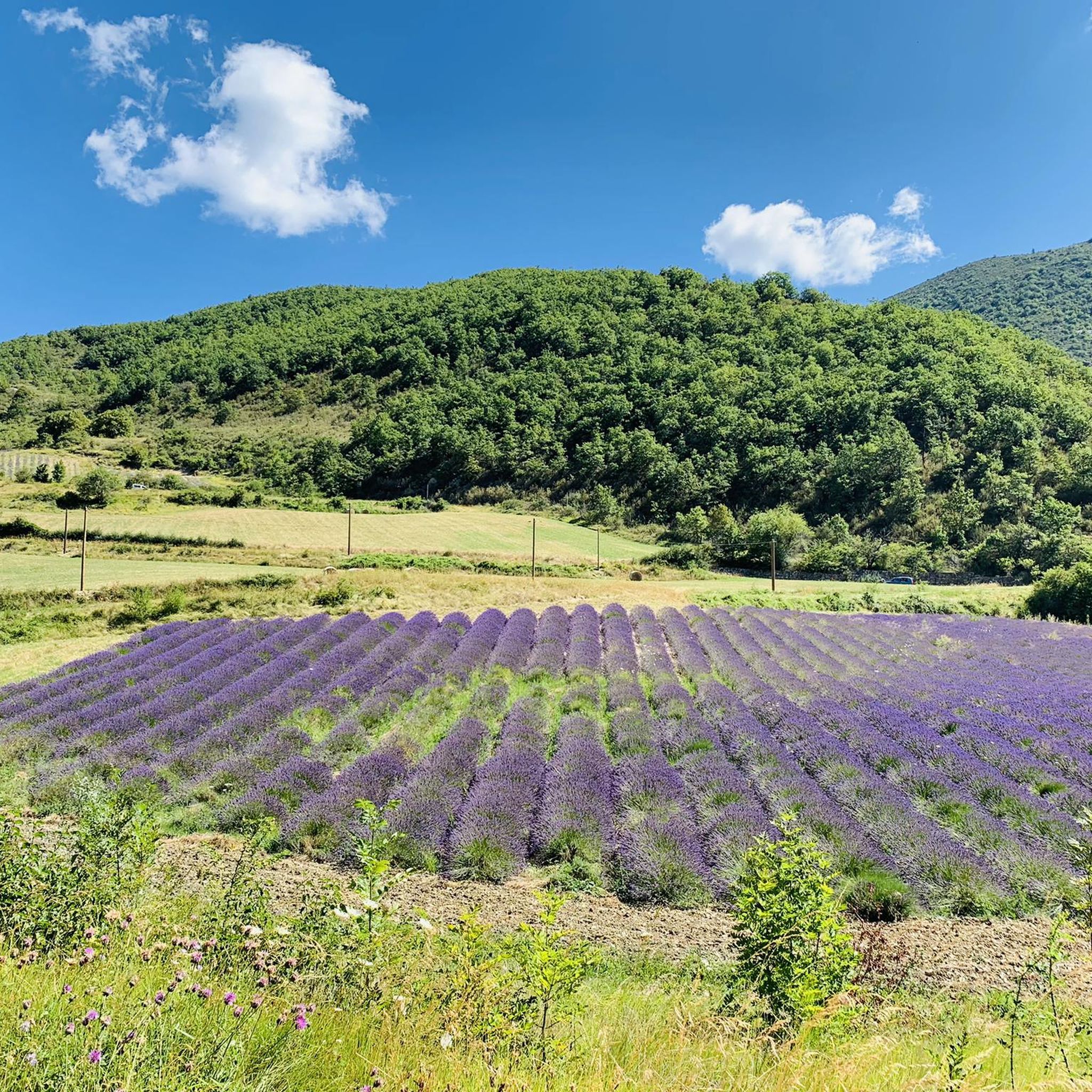
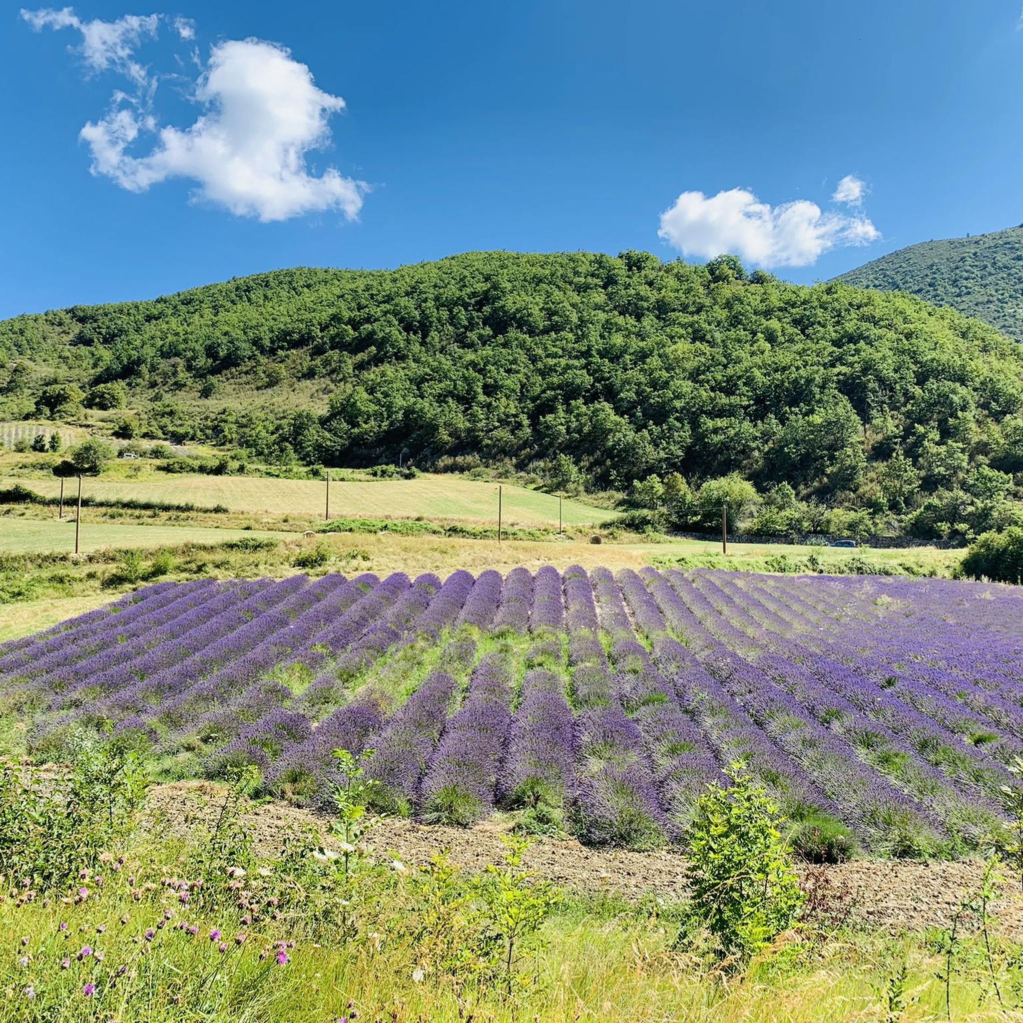

Tips from the Community

A very welcome water point by the roadside
0
0
A nice pass to climb, rarely frequented by motorized vehicles. The Gorges are sometimes narrow.
0
0
sources that appear at the right time
0
0

very nice view from the bridge
0
0

Simply stunning viewpoint.
7
0
Building maintained in excellent condition.
10
0
The ascent to Col de la Fromagère / Col de Pommerol from Rosans is located in the Hautes-Alpes region. This ascent is 6.6 km long, with a total elevation gain of 371 m. The average gradient of the ascent to Col de la Fromagère / Col de Pommerol from Rosans is 5.6%.
7
0
The ascent to Col de la Fromagère / Col de Pommerol from Rosans is located in the Hautes-Alpes region. This ascent is 6.6 km long, with a total elevation gain of 371 m. The average gradient of the ascent to Col de la Fromagère / Col de Pommerol from Rosans is 5.6%.
5
0
Frequently Asked Questions
What kind of terrain can I expect when road cycling in Chaudebonne?
Road cycling around Chaudebonne offers a diverse landscape characterized by mountainous and hilly terrain within the Drôme department. You'll encounter significant elevation changes, deep gorges like the Gorges de Trente Pas, and lush green valleys. The region is known for its challenging mountain passes, providing varied routes for all ability levels.
How many road cycling routes are available around Chaudebonne?
There are over 90 road cycling routes available around Chaudebonne, catering to various skill levels. This includes 7 easy routes, 43 moderate routes, and 42 difficult routes, ensuring options for every cyclist.
Are there road cycling routes suitable for beginners or less experienced cyclists?
Yes, Chaudebonne offers several routes suitable for beginners or those seeking a less strenuous ride. There are 7 easy routes available, providing a gentler introduction to the region's beautiful scenery.
Where can I find challenging road cycling routes with significant climbs?
For experienced cyclists looking for a challenge, Chaudebonne has 42 difficult routes with significant elevation gains. A notable option is the Sausse Pass – Guillens Pass (802 m) loop from Chaudebonne, which covers 71.5 km and includes over 1500 meters of ascent. Another demanding route is the Rémuzat – COL DE POMMEROL loop from Villeperdrix, spanning 64.9 km with over 1000 meters of climbing.
What scenic viewpoints or natural features can I see along road cycling routes?
The region boasts stunning natural features. You can enjoy remarkable viewpoints of Mont-Angèle, explore the picturesque Gorges de Trente-Pas, or visit the prominent Rocher du Caire, known for its vulture reintroduction program. Many routes also pass through various mountain passes like Sausse Pass and Col de Muse (932 m), offering expansive vistas.
When is the best time of year for road cycling in Chaudebonne?
The Drôme department, where Chaudebonne is located, generally offers pleasant cycling conditions from spring through autumn. The lush green environment is particularly inviting during these seasons. To avoid the hottest summer days, spring and early autumn are often ideal, providing comfortable temperatures for tackling the region's climbs.
Are there any circular road cycling routes starting from or passing through Chaudebonne?
Yes, many routes in the area are designed as loops, allowing you to start and finish in the same location. For example, the Sausse Pass – Guillens Pass (802 m) loop from Chaudebonne is a challenging circular route directly from the commune. Another popular option is the Nyons Roman Bridge – Col de la croix rouge (507m) loop from Nyons, which offers moderate climbs and descents.
What do other road cyclists enjoy most about road cycling in Chaudebonne?
The road cycling experience in Chaudebonne is highly rated by the komoot community, with an average score of 4.6 stars from over 200 reviews. Cyclists often praise the diverse and challenging terrain, the breathtaking views of Mont-Angèle and the surrounding natural beauty, and the rewarding climbs through mountain passes.
Are there any specific initiatives for cyclists in the wider Drôme region?
Yes, the wider Auvergne-Rhône-Alpes region, which includes Drôme, features initiatives like "Cols réservés." This program closes certain legendary mountain roads to motorized vehicles on specific mornings, allowing cyclists to conquer these passes in a peaceful and dedicated environment. While not specific to Chaudebonne itself, it highlights the region's commitment to cycling.
What amenities are available for cyclists in Chaudebonne?
While Chaudebonne is a smaller commune, it offers basic amenities. For more extensive services like cafes, pubs, and accommodation, nearby towns such as Nyons or Villeperdrix, which are common starting points or pass-throughs for routes, provide more options. It's always advisable to plan your stops, especially on longer rides.
Are there any moderate-difficulty road cycling routes that offer a good balance of challenge and scenery?
Absolutely. The region offers 43 moderate routes that provide a great balance. A popular choice is the Nyons Roman Bridge – Col de la croix rouge (507m) loop from Nyons. This 41.3 km route features scenic climbs and descents, making it an enjoyable ride without being overly strenuous.
Can I find routes that connect Chaudebonne with other towns like Nyons or Villeperdrix?
Many routes in the region naturally connect these towns, as they are key points for road cycling. For instance, the Nyons Roman Bridge – Col de la croix rouge (507m) loop from Nyons starts in Nyons and explores the surrounding area, which is easily accessible from Chaudebonne. Similarly, the Rémuzat – COL DE POMMEROL loop from Villeperdrix uses Villeperdrix as a starting point, integrating these locations into the cycling network.
Most popular attractions around Chaudebonne

Get inspired with the komoot mobile app


Explore more
Browse the best Road cycling routes in other regions.
