The best walks and hikes around Montferrer
4.5
(742)
4,487
hikers
162
hikes
Hiking around Montferrer offers diverse terrain within the Pyrénées-Orientales department, part of the mountainous Vallespir region. The village is situated on the "lo Cingle" rocky outcrop, providing expansive views of the surrounding Pyrenees mountains. Trails often traverse varied elevations, ranging from 308 to over 1,600 meters, leading through forests and alpine meadows. The landscape is defined by its proximity to the Pyrenees, offering views of peaks like Mount Canigou.
Best hiking trails around Montferrer
- The most popular hiking route is…
Last updated: October 15, 2026
4.9
(10)
54
hikers
Hard hike. Good fitness required. Sure-footedness, sturdy shoes and alpine experience required.
4.7
(11)
65
hikers
12.3km
03:46
440m
440m
Moderate hike. Good fitness required. Easily-accessible paths. Suitable for all skill levels.

4.3
(4)
38
hikers
15.4km
05:13
820m
830m
Hard hike. Very good fitness required. Easily-accessible paths. Suitable for all skill levels.
3.7
(6)
32
hikers
11.6km
05:09
980m
980m
Hard hike. Very good fitness required. Sure-footedness, sturdy shoes and alpine experience required.
4.5
(8)
29
hikers
11.6km
03:35
450m
450m
Moderate hike. Good fitness required. Easily-accessible paths. Suitable for all skill levels.
Get access to more routes and recommendations from other explorers.
Already have an account?
Our route recommendations are based on thousands of hikes, rides, and runs completed by other people on komoot.
Start today with a free account
Your next adventure awaits.

Tips from the Community

With a beautiful view of the village towers.
0
0
Beautiful views. Fast-flowing water. Nearby is La Fontaine des Buis, an inn that is only open in the summer. Special menu & good reviews. With a bit of luck, the cows will be grazing low in the meadow along the way.
0
0

The Sainte-Engracia chapel, perched in the Pyrenees mountains, is a place of meditation and natural beauty. Surrounded by forests and alpine meadows, this small stone chapel offers a peaceful and picturesque setting. Accessible by a hiking trail, it reveals a breathtaking view of the surrounding valleys and the Pyrenean peaks.
0
0
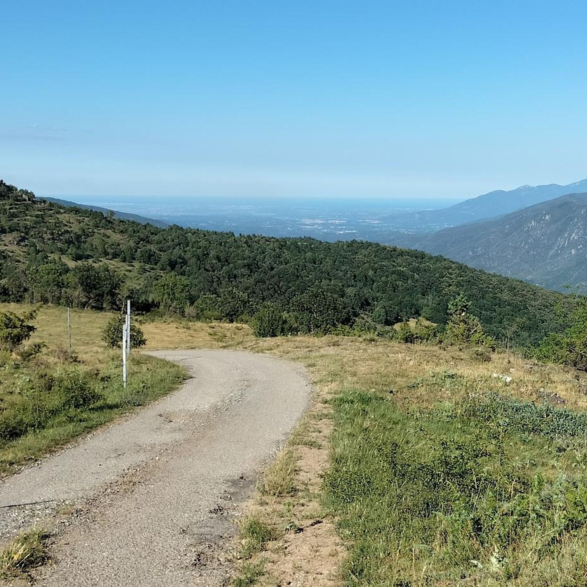
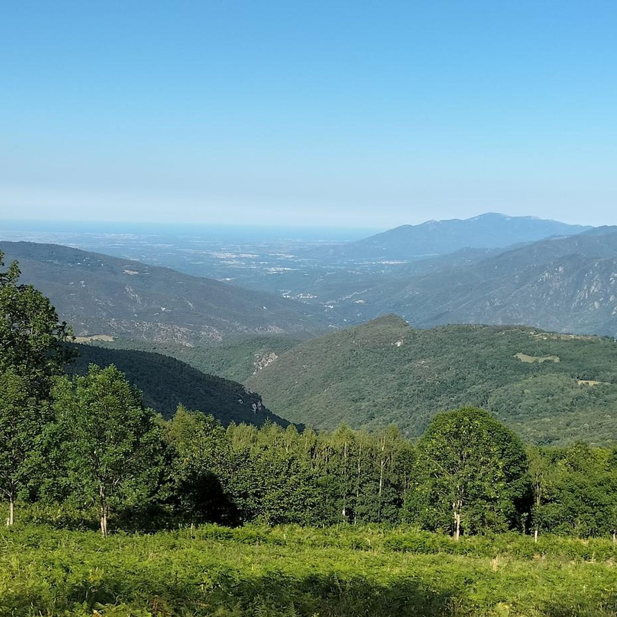
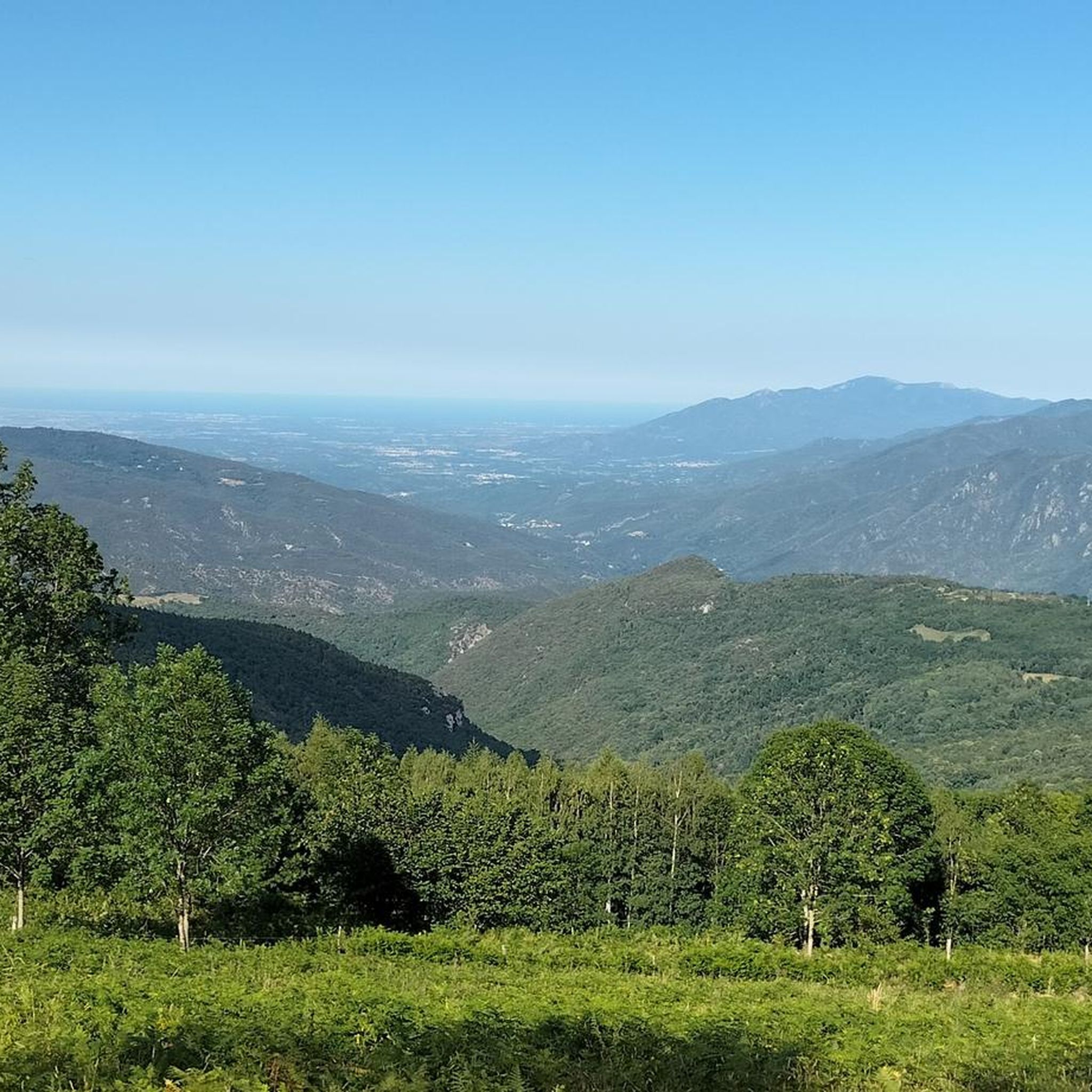
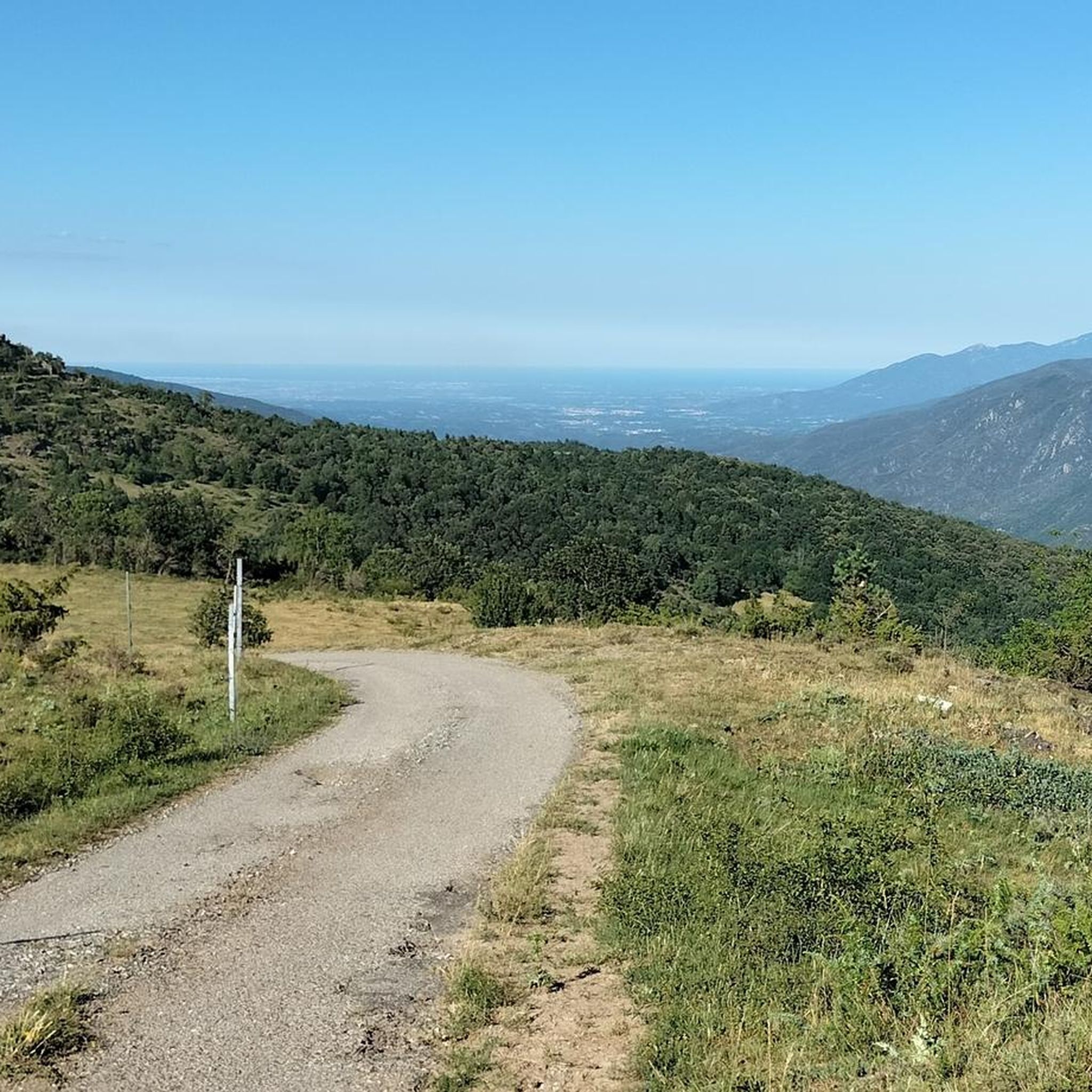
From here, you can see the summit of Canigou. The panorama is breathtaking! This giant of the Pyrénées-Orientales, culminating at 2,784 meters. You can also enjoy a breathtaking view of Arles-sur-Tech.
1
0

very beautiful landscape, great to do a tour here by bike
1
0

The Paracolls pass is the summit of several hikes that crisscross the surrounding area. It is a clear pass which offers very beautiful panoramas.
0
0
This trail is a very unique passage of the GR 10 with its very tight serpentines and its ground covered with natural “slabs”. At the end of its 22 turns, you arrive at a clear spot offering a superb view of Arles-sur-Tech and the Vallespir valley.
0
0
Frequently Asked Questions
How many hiking trails are available around Montferrer?
Montferrer offers a wide variety of hiking opportunities, with over 160 routes recorded on komoot. These trails cater to different skill levels, including 30 easy, 88 moderate, and 42 difficult options.
Are there any easy hiking trails suitable for beginners in Montferrer?
Yes, Montferrer has approximately 30 easy hiking trails. These routes are generally shorter and have less elevation gain, making them ideal for beginners or those looking for a relaxed walk through the Vallespir region's beautiful landscapes.
What kind of views can I expect on hikes around Montferrer?
Hikes around Montferrer often provide spectacular views. From the village's rocky outcrop, you can see across the Roussillon plain to the sea. Many trails offer glimpses of the majestic Mount Canigou, a significant landmark in the Pyrenees. Higher elevation routes, such as those leading to Pla Guillem or other summits, provide panoramic vistas of the surrounding mountains and valleys.
Are there any circular hiking routes starting directly from Montferrer?
Yes, there are several circular routes. A popular option is the Hiking loop from Montferrer, a moderate 12.3 km path that showcases the local landscape directly from the village. Another challenging circular route is The Soca – Summit of Pic du Costabonne loop from Montferrer, which covers about 15.4 km.
What are some notable natural landmarks or attractions to see while hiking?
The region is rich in natural beauty. You can encounter various mountain passes like Coll d'Arès or Col Palomere. Summits such as El Moixer Peak and Roc de Frausa offer rewarding climbs. The distant Mount Canigou is often visible, and the village itself is built on the dramatic 'lo Cingle' rocky outcrop.
What do other hikers say about the trails in Montferrer?
The hiking trails in Montferrer are highly regarded by the komoot community, holding an average rating of 4.5 stars from over 680 reviews. Hikers frequently praise the diverse terrain, the stunning panoramic views, and the well-maintained paths that lead through forests and alpine meadows.
Are there any long-distance or multi-day hiking opportunities in the area?
While specific multi-day routes aren't detailed, the presence of the Refuge de Sant Guillem in the wider region suggests opportunities for overnight stops. Many trails, especially those leading to higher peaks like Pic du Costabonne, can be combined or extended for longer, more strenuous treks, offering vast landscapes for exploration.
What is the terrain like on Montferrer's hiking trails?
The terrain around Montferrer is quite varied, reflecting its location in the Pyrenees-Orientales. You'll encounter mountainous paths, rocky outcrops, and extensive forests. Trails often traverse significant elevation changes, ranging from 308 to over 1,600 meters, providing a diverse hiking experience.
Can I find trails that offer views of Mount Canigou?
Absolutely. Many trails in the Montferrer area provide excellent vantage points for viewing Mount Canigou. For example, the difficult Sainte-Engracia Chapel – Panoramic View of the Canigou loop from Arles-sur-Tech is specifically highlighted for its panoramic views of this iconic peak.
Are there any challenging hikes for experienced trekkers?
Yes, Montferrer offers 42 difficult trails for experienced hikers. These often involve significant elevation gain and longer distances. Routes like Arles-sur-Tech – Paracolls Pass loop from Arles-sur-Tech or The Soca – Summit of Pic du Costabonne loop from Montferrer provide strenuous ascents and rewarding challenges.
What kind of natural environments will I pass through on the trails?
Hiking trails around Montferrer lead through a mix of natural environments. You'll often find yourself in dense wooded areas, crossing open alpine meadows, and navigating rocky mountainous terrain. During summer, you might also pass through grazing areas, adding to the natural experience.
Are there any specific attractions near Montferrer that are worth visiting after a hike?
Beyond the trails, the nearby Gorges de la Fou, located about 6 km from Montferrer, offer a unique walking experience through a canyon. The wider Vallespir region also has historical sites and charming villages to explore.
Most popular routes around Montferrer
Most popular attractions around Montferrer

Get inspired with the komoot mobile app


Explore more
Browse the best Hikes in other regions.
