The 6 Most Amazing Peaks around L'Estréchure
Best mountain peaks around L'Estréchure are found in the heart of Occitanie, France, within the Massif Central and the Cévennes mountains in the Gard department. This area serves as a base for exploring scenic mountain passes and viewpoints. The region offers diverse landscapes and opportunities for outdoor activities. It is characterized by its rugged beauty and expansive natural features.
Best mountain peaks around L'Estréchure
- The most popular mountain peaks is The 4000 Steps, a summit that is a path…
Last updated: October 11, 2026
The 4000 Steps
Highlight (Segment) • Summit
In …
Translated by Google •
Tip by

Arbousse Peak
Highlight • Summit
Translated by Google •
Tip by

Sign up now to discover places like this
Get recommendations on the best single tracks, peaks, & plenty of other exciting outdoor places.
Signal de Saint-Pierre Orientation Table
Highlight • Viewpoint
Translated by Google •
Tip by
Mont Brion
Highlight • Summit
Translated by Google •
Tip by

Eagle Rock
Highlight • Summit
Translated by Google •
Tip by
Sign up for free to discover even more peaks around L'Estréchure.
Already have an account?
Start today with a free account
Your next adventure awaits.

Tips from the Community

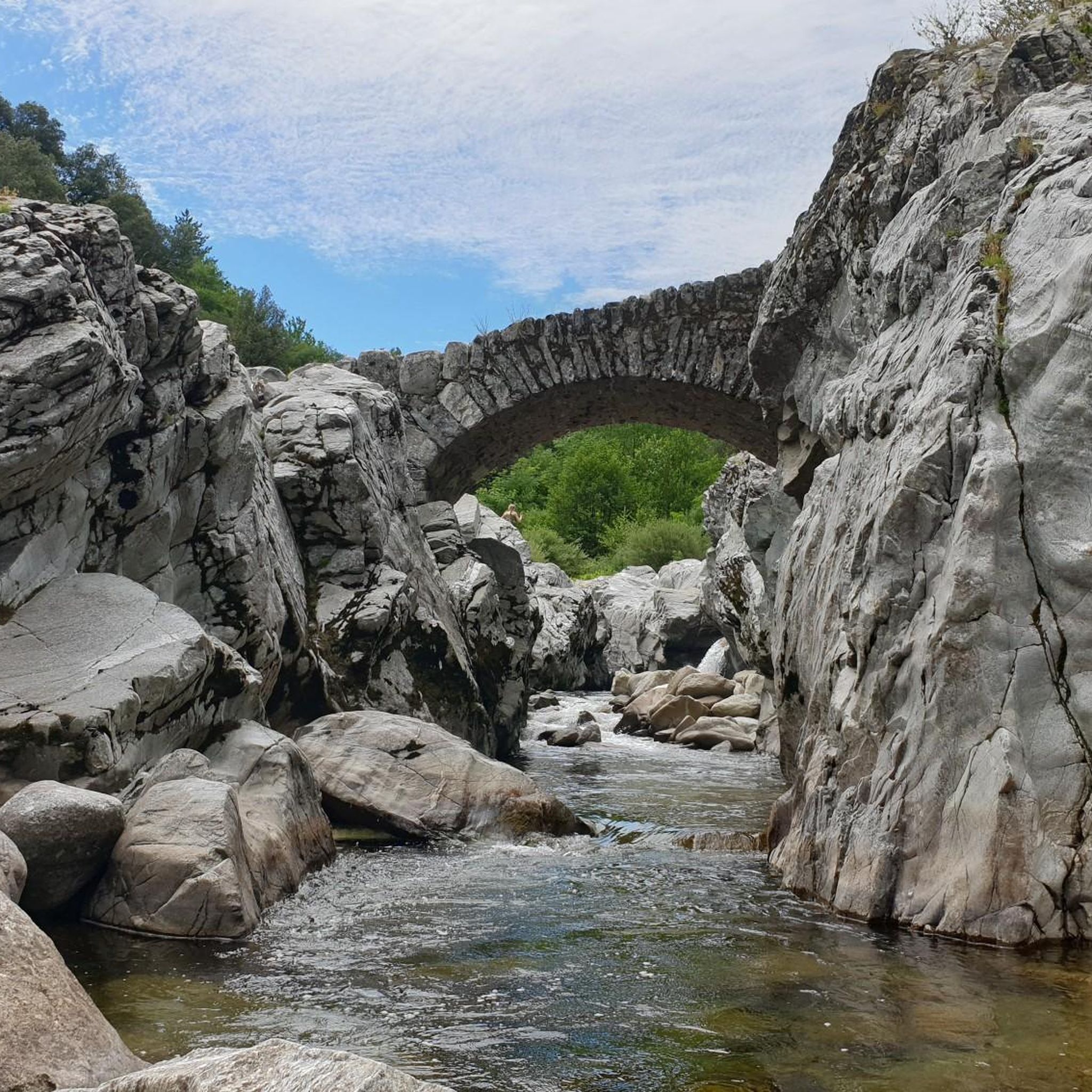
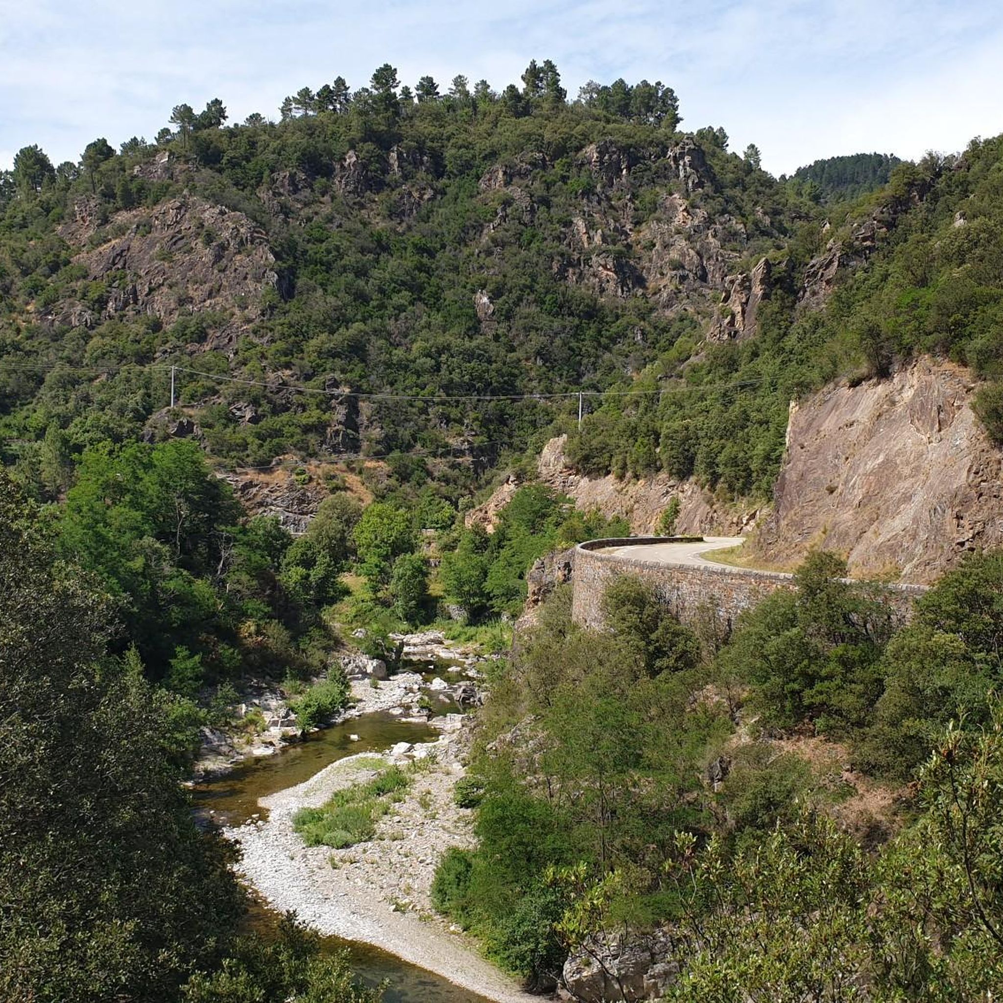
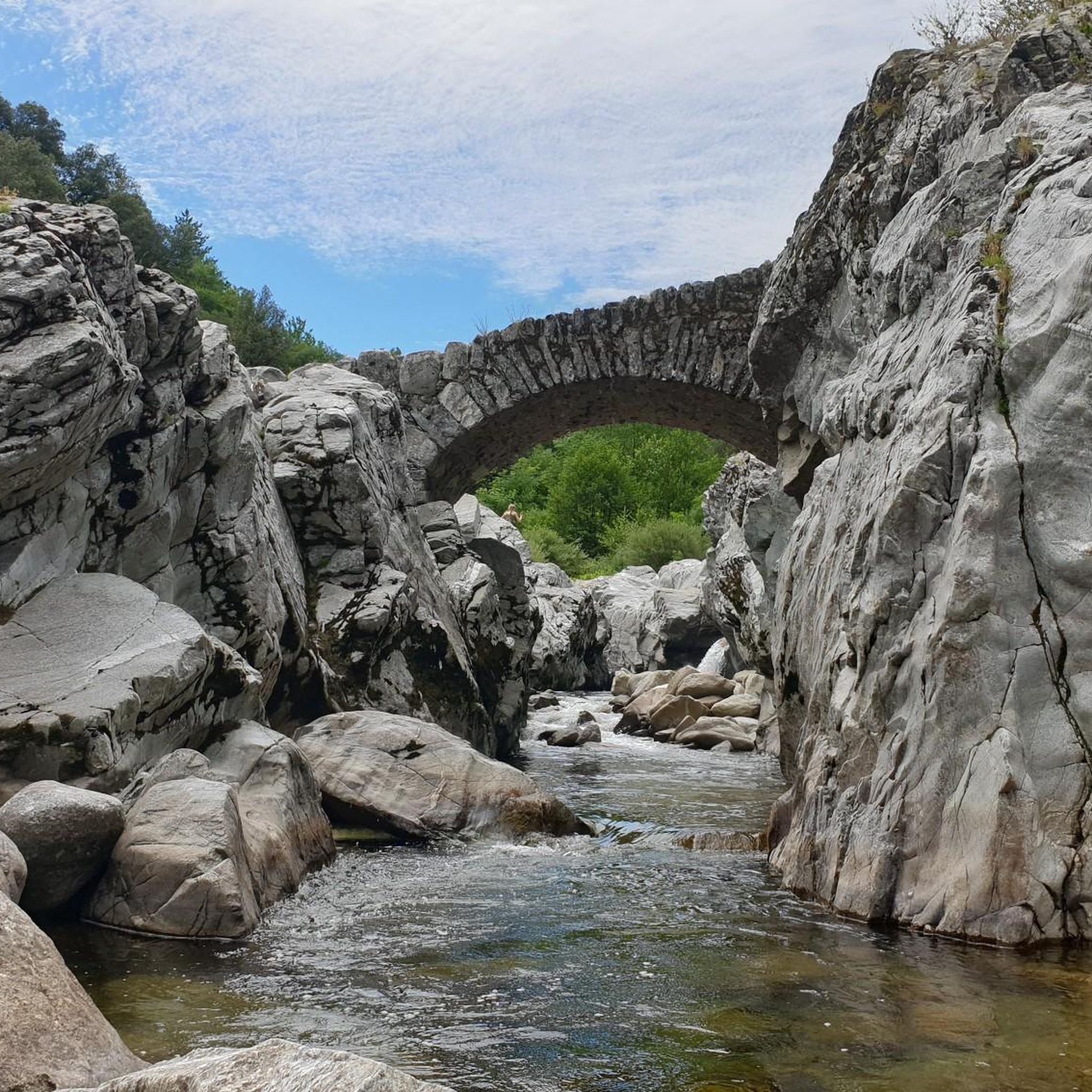
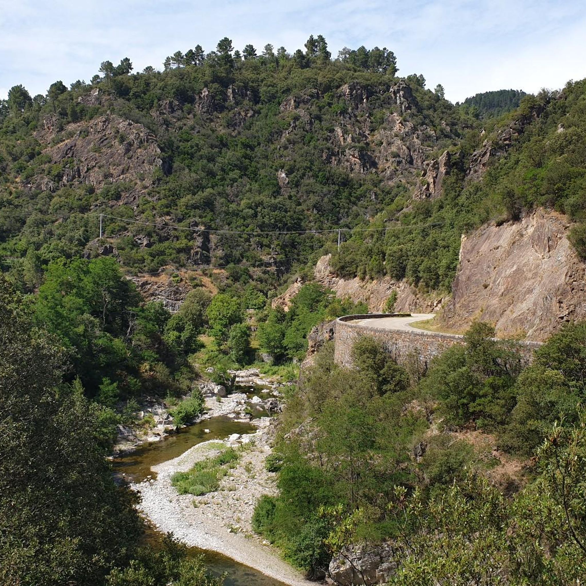
Beautiful views of the Cévennes. Be careful, the rock is slippery when wet.
0
0


Caution: difficult hike for the last 2 kilometers.
0
0


The Signal Saint-Pierre, a few hundred meters from the Col Saint-Pierre, allows you to contemplate the Cévennes at an altitude of 695m.
0
0
The Pic d'Arbousse offers a magnificent view of the Gardon de Saint-Jean and Gardon de Mialet valleys
0
0
The Rocher de l'Aigle offers an exceptional 360° view, from Mont Aigoual in the west to Ventoux in the east, passing by Pic Saint-Loup in the south.
0
0
Frequently Asked Questions
What are some of the most notable mountain peaks and viewpoints around L'Estréchure?
The region around L'Estréchure, nestled in the Cévennes mountains, offers several significant peaks and viewpoints. Among them is The 4000 Steps, a challenging path leading to the observatory of Aigoual. Another popular spot is Arbousse Peak, known for its quiet atmosphere and rewarding vistas. For panoramic views, consider the Signal de Saint-Pierre Orientation Table, located near Col Saint-Pierre.
Are there challenging mountain hikes available near L'Estréchure?
Yes, for those seeking a challenge, The 4000 Steps offers a demanding route. This path covers 9.5 km with a 1200 m elevation gain, leading from Valleraugue to the observatory of Aigoual. It's a consistently steep but well-defined trail, formerly a postman's path.
Where can I find the best panoramic views of the Cévennes mountains?
For exceptional panoramic views, the Signal de Saint-Pierre Orientation Table provides impressive vistas of the Cévennes at an altitude of 695 meters. Additionally, the Eagle Rock offers an outstanding 360° view, stretching from Mont Aigoual to Ventoux and Pic Saint-Loup.
What kind of natural features can I expect to see on the mountain peaks?
The mountain peaks and passes around L'Estréchure are characterized by the rugged beauty of the Cévennes. You'll encounter diverse landscapes, from dense forests to rocky outcrops. The 4000 Steps path, for instance, crosses the arboretum of the Hort de Dieu, showcasing varied flora. Many viewpoints offer expansive views of valleys like the Gardon de Saint-Jean and Gardon de Mialet.
Are there any easy or family-friendly mountain walks in the area?
While some routes are challenging, the region also offers accessible points for enjoying the mountainous landscape. The Signal de Saint-Pierre Orientation Table is an accessible viewpoint to soak in the vastness of the Cévennes. The Col de l'Asclier, at 911 meters, also features an interpretive trail suitable for nature enthusiasts looking for less strenuous options.
What outdoor activities can I do near these mountain peaks?
Beyond hiking, the area around L'Estréchure is excellent for cycling and running. You can find various routes, such as the 'Saint-Jean-du-Gard – Gardon of Saint-Jean-du-Gard loop' for touring bicycles or the 'Col du Mercou (570 m) – Bridge over the Salindrenque loop' for road cycling. For runners, there are trails like the 'Château de l'Hom loop'. You can explore more options on the Cycling around L'Estréchure, Road Cycling Routes around L'Estréchure, and Running Trails around L'Estréchure guide pages.
What is the best time of year to visit the mountain peaks around L'Estréchure?
The Cévennes region experiences diverse weather. While specific seasonal recommendations depend on your activity, spring and autumn generally offer pleasant temperatures for hiking and cycling, with vibrant foliage or blooming wildflowers. Summer can be warm but is ideal for enjoying the outdoors, while winter might bring snow to higher elevations, offering different challenges and scenery.
Are there any hidden gems or less-known viewpoints worth exploring?
While not widely publicized, Mont Brion offers a superb viewpoint and was formerly a fire observation station. In clear weather, you might even see the Rhone plain and Mont Ventoux. Be aware that the last 2 kilometers of the hike to Mont Brion can be difficult.
What do visitors enjoy most about the mountain peaks in this region?
Visitors consistently praise the magnificent views and the quiet, natural atmosphere. Many appreciate the rewarding vistas after a challenging climb, such as at Arbousse Peak. The sense of immersion in nature, surrounded by vibrant trees and bird sounds, is also a common highlight, especially along scenic trails like the Sentier des Arbousiers.
Can I find multi-day treks or longer routes in the L'Estréchure area?
The Cévennes mountains are part of the Massif Central, offering extensive networks for longer treks. While specific multi-day routes are not detailed here, the challenging nature and length of paths like The 4000 Steps, which leads to Mont Aigoual, suggest that longer, interconnected routes are feasible for experienced hikers looking to explore the region over several days.
Are there any specific tips for hiking <a href="https://www.komoot.com/highlight/1606611" target="_blank" rel="noopener">The 4000 Steps</a>?
Hikers recommend bringing poles for The 4000 Steps due to its consistently steep nature. It's a 9.5 km path with a 1200 m elevation gain. While you can't get lost on the ascent, it's wise to carry sufficient food and drink, as facilities at the summit (like the restaurant at Aigoual observatory) may not always be open.
What makes the Cévennes mountains unique in the L'Estréchure area?
The Cévennes mountains, part of the Massif Central, are known for their rugged beauty and expansive natural features. Despite modest altitudes, the region experiences significant precipitation, wind, and fog, creating a true mountain environment. It's a transitional zone between Atlantic and Mediterranean climates, contributing to its diverse landscapes and rich biodiversity.
Most popular routes around L'Estréchure
Most popular attractions around L'Estréchure

Get inspired with the komoot mobile app


Explore more
See even more amazing summits around L'Estréchure with these guides:
