The best walks and hikes around Savianges
4.5
(209)
1,080
hikers
113
hikes
Hiking around Savianges offers exploration of a landscape characterized by grass pastures and the prominent Le bois Rougeon hill. The Guye River flows through the area, which is situated on a geological fault, contributing to varied topography. This region in the Saône-et-Loire department of France provides diverse scenery for outdoor activities. The terrain includes both gentle paths and routes with notable elevation gains, suitable for different fitness levels.
Best hiking trails around Savianges
- The most popular hiking route is Château…
Last updated: October 9, 2026
5.0
(5)
16
hikers
14.5km
04:04
290m
290m
Moderate hike. Good fitness required. Easily-accessible paths. Suitable for all skill levels.
5.0
(7)
25
hikers
11.4km
03:09
200m
200m
Moderate hike. Good fitness required. Easily-accessible paths. Suitable for all skill levels.

4.0
(1)
9
hikers
12.9km
03:42
300m
300m
Moderate hike. Good fitness required. Easily-accessible paths. Suitable for all skill levels.
3.7
(3)
5
hikers
12.3km
03:22
190m
190m
Moderate hike. Good fitness required. Easily-accessible paths. Suitable for all skill levels.
5.0
(1)
7
hikers
11.6km
03:11
200m
200m
Moderate hike. Good fitness required. Easily-accessible paths. Suitable for all skill levels.
Get access to more routes and recommendations from other explorers.
Already have an account?
Our route recommendations are based on thousands of hikes, rides, and runs completed by other people on komoot.
Start today with a free account
Your next adventure awaits.

Tips from the Community

On June 12, 1944, nine members of a detachment of the Cruchaud resistance group and three residents of Neuilly were executed by the Nazis, who also set fire to the hamlet's farms and the château that had stood on the site since the 18th century. A commemorative plaque was unveiled on June 12, 1945, and the monument was erected in its current form in 1946. Access to the monument for remembrance is on foot only (the access road is private and vehicles are not permitted).
0
0
Rimont is a small, peaceful hamlet where 2 congregations of brothers and sisters reside.
1
0
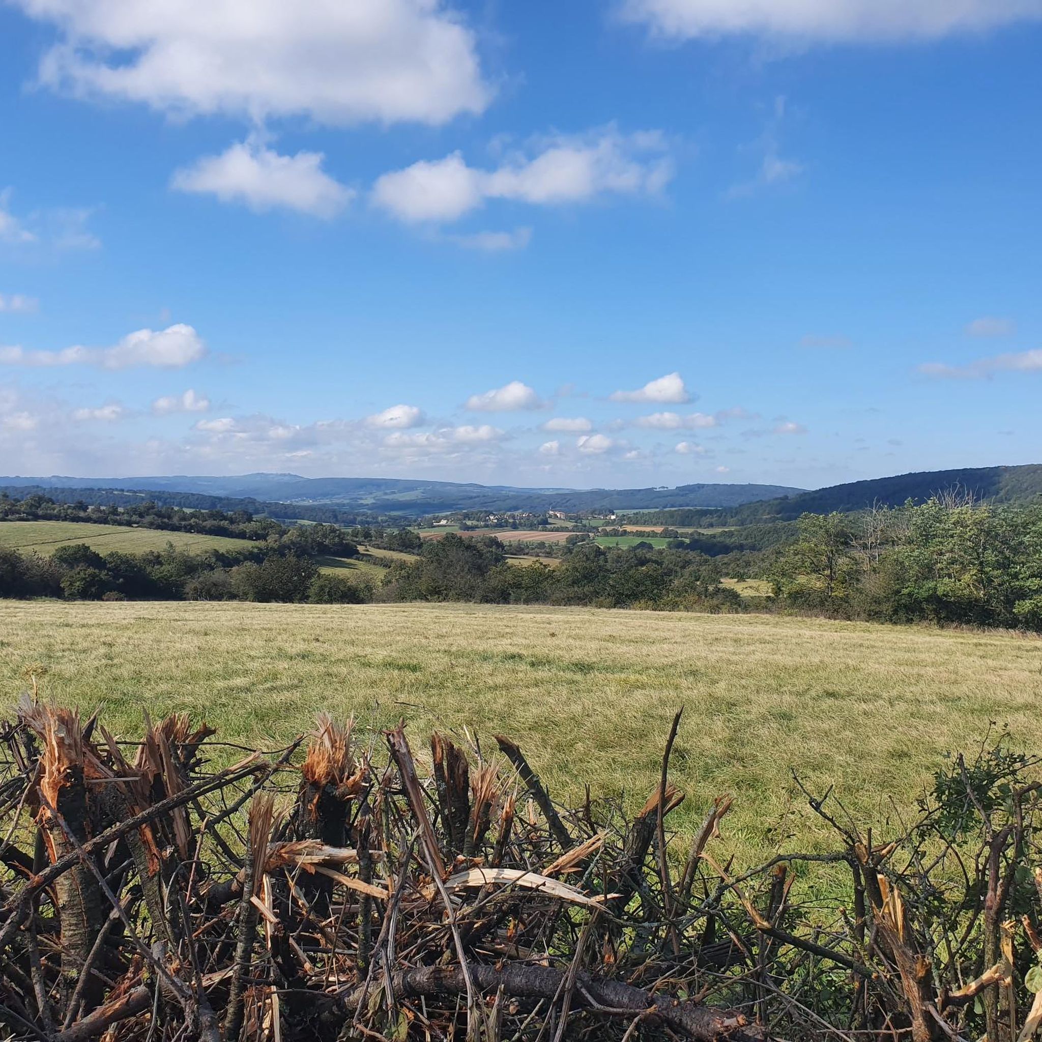
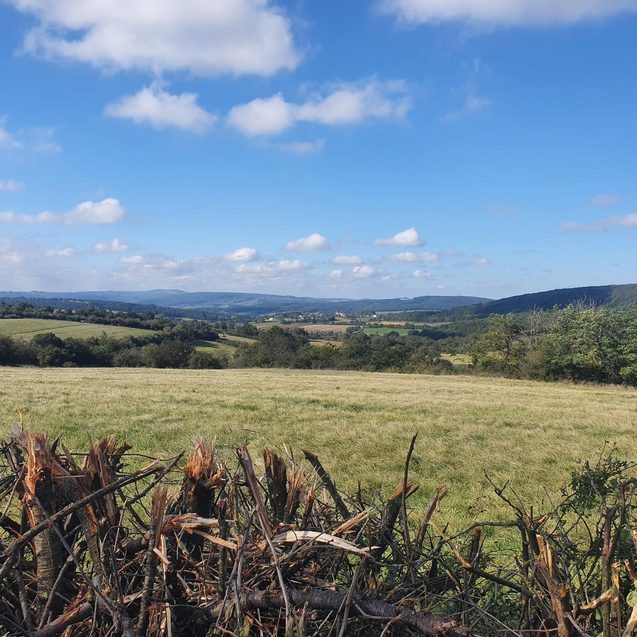
Superb view, pleasant place for a break. Presence of a fitness trail.
1
0
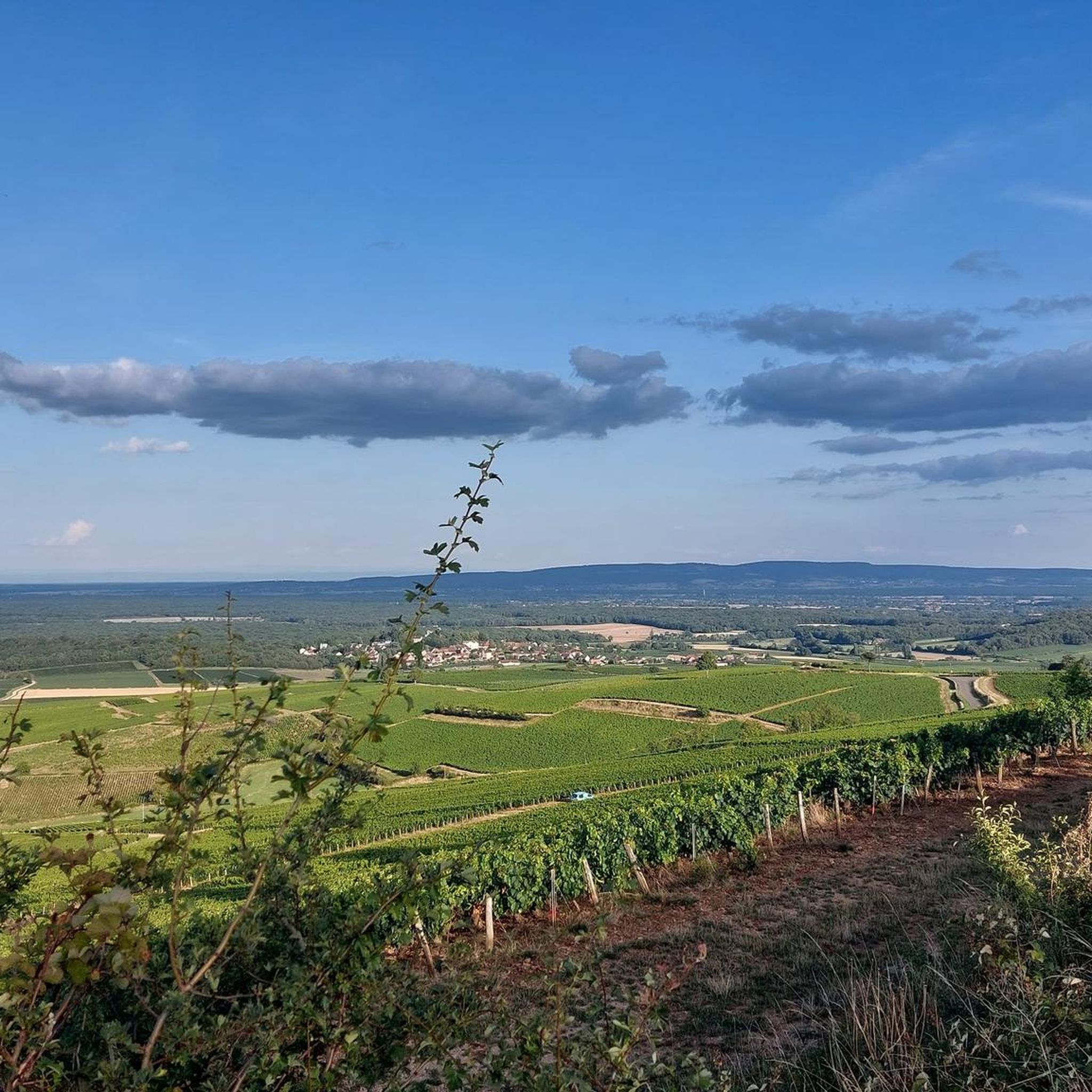
Beautiful view of the "Montagny 1er cru" vineyard / seen from Mont Blanc on a clear day
0
0


At the rest area with the Madonna statue there is a drinking water fountain right at the entrance on the right.
0
0


Large rest area with several picnic spots and a superb panoramic view of the Saône valley.
4
0
Frequently Asked Questions
How many hiking trails are available around Savianges?
There are over 110 hiking routes around Savianges, offering a wide range of options for different preferences and fitness levels. These include easy walks, moderate trails, and some more challenging routes.
What are the typical difficulty levels for hiking in Savianges?
The trails around Savianges cater to various fitness levels. You'll find approximately 36 easy routes, 70 moderate routes, and 10 more difficult options. This variety ensures there's something for everyone, from casual strolls to more strenuous hikes.
Are there any circular hiking routes in the area?
Yes, many of the trails around Savianges are circular, allowing you to start and end at the same point. For example, the Château de Pontus de Tyard — loop by Culles-les-Roches is a popular moderate circular route that combines natural exploration with historical sights.
What kind of landscapes can I expect to see while hiking in Savianges?
Savianges is characterized by picturesque grass pastures, the prominent Le bois Rougeon hill, and the Guye River flowing through the area. The region's location on a geological fault contributes to varied topography, offering diverse scenery from gentle river valleys to elevated viewpoints.
Are there any historical landmarks or points of interest along the hiking trails?
Yes, hikers can discover several historical and cultural points of interest. You might encounter the ancient Sercy Castle, the 12th-century Romanesque Church of Savianges, or the old Guye River washhouse. The area also has remnants of ancient Roman roads and is home to the Statue of Mary, which is featured on some routes like the Panoramic rest area – Statue of Mary loop from Savianges.
What do other hikers say about the trails in Savianges?
The hiking routes in Savianges are highly rated by the komoot community, with an average score of 4.6 stars from over 180 reviews. Hikers often praise the varied terrain, the combination of natural beauty with historical sites, and the well-maintained paths.
Are there any family-friendly hiking options in Savianges?
Yes, Savianges offers several easy routes suitable for families. While specific 'family-friendly' routes aren't explicitly detailed, the presence of 36 easy trails suggests many options that are less strenuous and can be enjoyed by all ages. The 'Pontus de Tyard Castle – Historic Washhouse loop from Fley' mentioned in regional research is noted as easily accessible for all skill levels.
Can I bring my dog on the hiking trails around Savianges?
Generally, dogs are welcome on hiking trails in the Savianges region, especially in rural areas. However, it's always advisable to keep them on a leash, particularly near livestock or in nature reserves, and to clean up after them. There are no specific restrictions mentioned for dogs on the trails in this area.
What is the best time of year to go hiking in Savianges?
The region benefits from a generally good amount of sunshine annually, making spring, summer, and early autumn ideal for hiking. These seasons offer pleasant weather conditions to explore the grass pastures, river valleys, and historical sites. Winter hikes are also possible, but conditions may vary.
Are there any long-distance hiking trails near Savianges?
While Savianges itself offers many local routes, the broader Burgundy region, where Savianges is located, boasts an extensive network of 6,000 km of marked trails. This includes long-distance trails (Grande Randonnée or GR) like the GR 13 and GR 2, which traverse other parts of Burgundy, indicating the region's commitment to extensive hiking infrastructure.
Where can I find parking for hiking trails in Savianges?
Parking is typically available near the starting points of many trails, especially in or near villages like Savianges, Culles-les-Roches, or Fley, which serve as common access points for routes such as the Pontus de Tyard Castle – Fley loop from Fley. Specific parking details are often provided on individual route descriptions.
Are there any facilities or amenities like cafes near the hiking routes?
While the immediate trailheads in Savianges are primarily natural, you can find amenities like cafes and restaurants in nearby villages and towns. For example, Saint-Gengoux-le-National, a nearby settlement, offers facilities that hikers can access before or after their walks.
Most popular attractions around Savianges

Get inspired with the komoot mobile app


Explore more
Browse the best Hikes in other regions.
