The best walks and hikes around Mestes
4.5
(121)
492
hikers
47
hikes
Hiking around Mestes offers a diverse landscape characterized by dense forests, tranquil lakes, and historical sites. The region features rolling hills and varied terrain, providing a range of experiences for outdoor enthusiasts. Trails often lead through wooded areas and past bodies of water, with moderate elevation changes. Mestes sits at an elevation ranging from 1,788 to 2,251 feet (545 to 686 meters), indicating a landscape with hills and valleys that provide varied perspectives of the surrounding countryside.
Best hiking trails…
Last updated: October 16, 2026
4.8
(4)
21
hikers
9.57km
02:38
160m
160m
Moderate hike. Good fitness required. Easily-accessible paths. Suitable for all skill levels.
4.7
(6)
16
hikers
8.55km
02:22
150m
150m
Moderate hike. Good fitness required. Easily-accessible paths. Suitable for all skill levels.

12
hikers
12.4km
03:24
190m
190m
Moderate hike. Good fitness required. Easily-accessible paths. Suitable for all skill levels.
4.3
(4)
21
hikers
2.62km
00:40
10m
10m
Easy hike. Great for any fitness level. Easily-accessible paths. Suitable for all skill levels.
4.0
(1)
12
hikers
12.6km
03:27
200m
200m
Moderate hike. Good fitness required. Easily-accessible paths. Suitable for all skill levels.
Get access to more routes and recommendations from other explorers.
Already have an account?
Our route recommendations are based on thousands of hikes, rides, and runs completed by other people on komoot.
Start today with a free account
Your next adventure awaits.


Tips from the Community


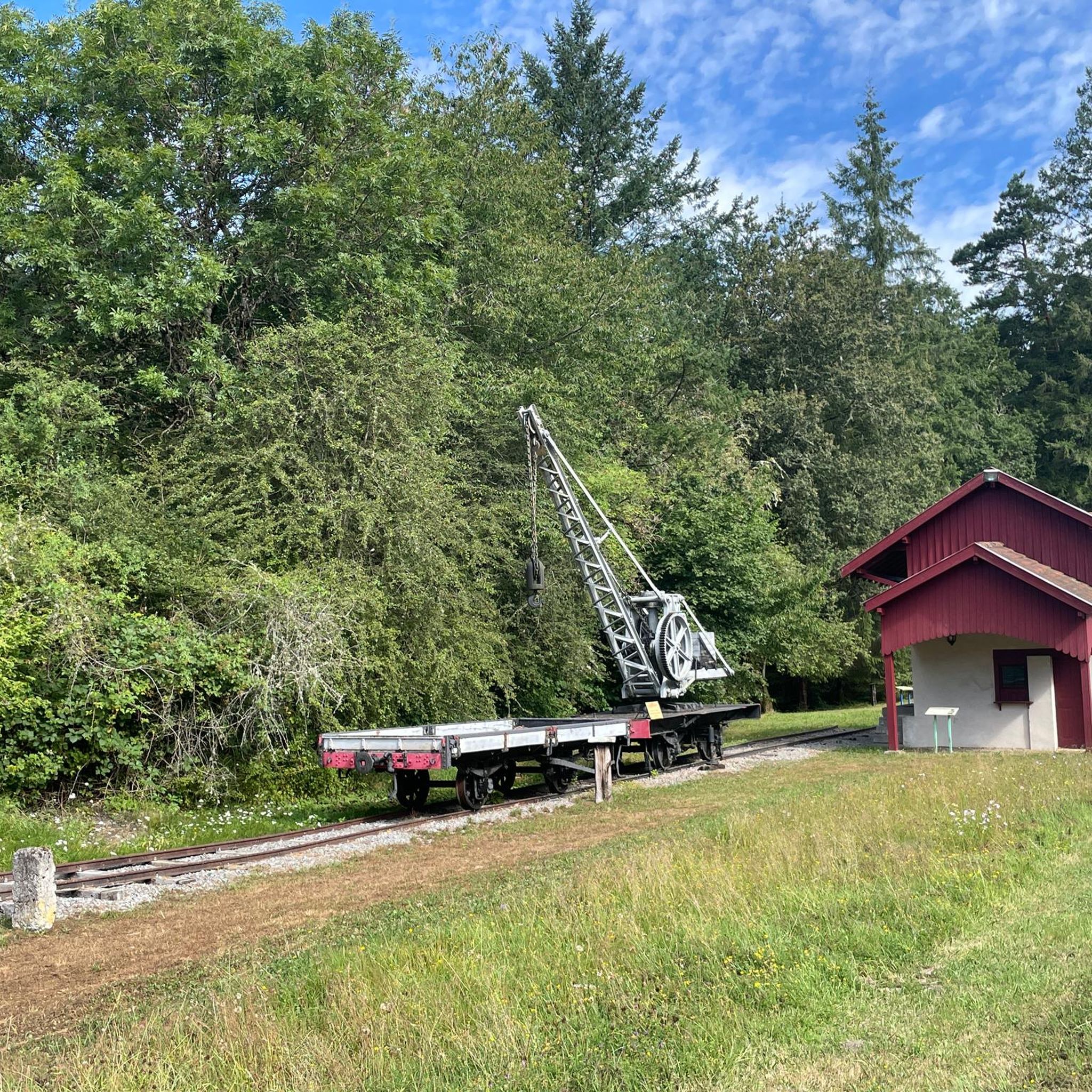
Its name suggests that it was considered a sacred spring, and it must have been the destination of a procession from the nearby church, along with the statue of the saint. It is said that the priest blessed the water directly from the fountain, which would then fill the holy water font. No evidence of its healing properties seems to have survived. Further down, 50 meters, is a rather impressive pool, surely fed by the fountain.
0
0

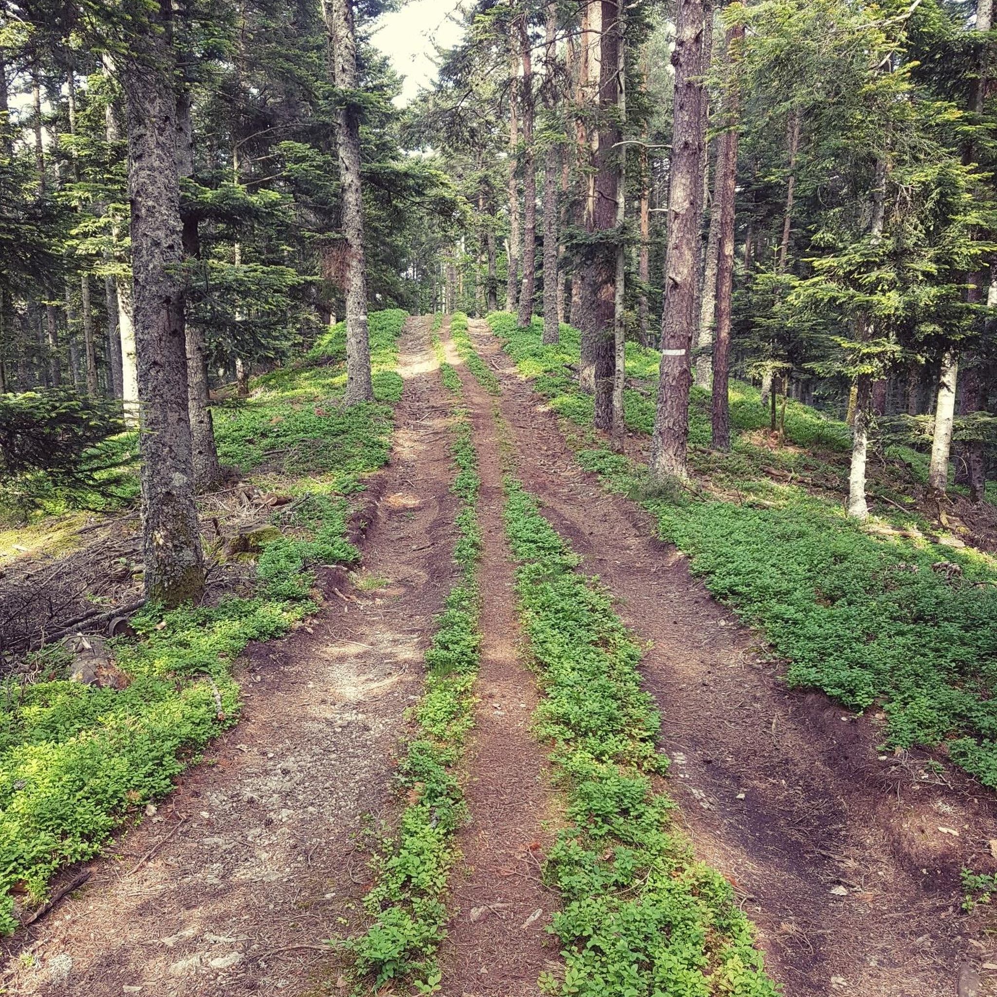
Circular trail with panels > Flora & Fauna < Biodiversity well presented & described
0
0

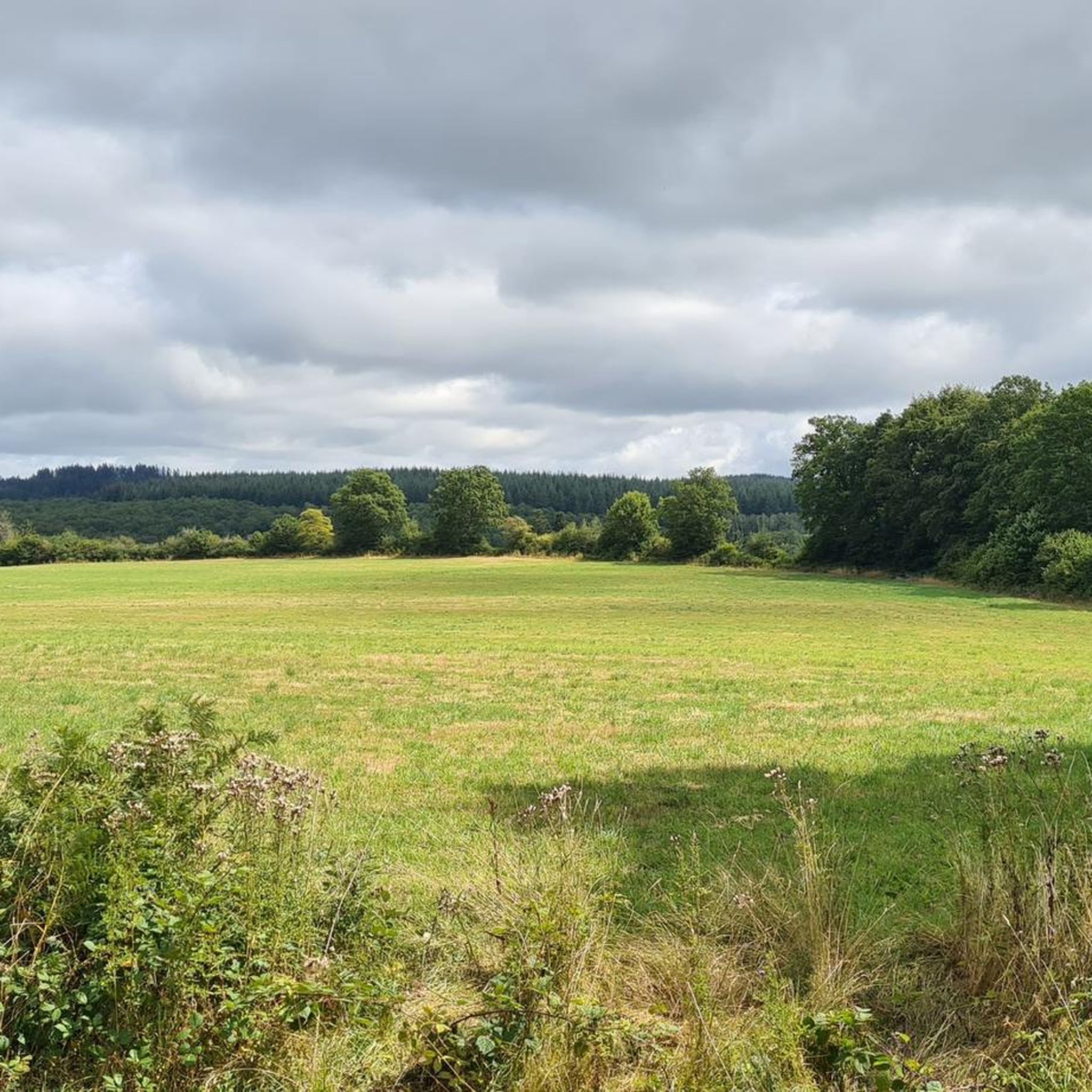
Village located on a rocky outcrop overlooking the right bank of the Triouzoune. The Saint-Michel-des-Anges Priory is classified as a historical monument.
1
0
Building from the end of the 13th century. Originally, the building had a nave of two square vaulted bays, a transept, a choir and two small chapels on the arms of the transept. After a fire in 1472, two aisles were added, along with a small chapel at the north end of the transept.
0
0
A former priory church founded in the 11th century!
0
0
Frequently Asked Questions
What kind of terrain can I expect when hiking around Mestes?
Hiking around Mestes offers a diverse landscape characterized by dense forests, tranquil lakes, and historical sites. You'll encounter rolling hills and varied terrain, with trails often leading through wooded areas and past bodies of water. The elevation changes are generally moderate, providing a range of experiences for different fitness levels.
How many hiking trails are available in the Mestes area?
There are over 50 hiking trails available around Mestes, catering to various skill levels. This includes 22 easy routes, 26 moderate paths, and a few more challenging options for experienced hikers.
Are there any family-friendly hiking options in Mestes?
Yes, Mestes offers several family-friendly hiking options. Easy routes like the Ponty Forest – Ponty Lake loop from Haute-Corrèze Communauté are perfect for families, being only 2.8 miles (4.5 km) long and taking about 1 hour 10 minutes to complete. These trails are generally flat and explore serene natural settings.
Can I bring my dog on the hiking trails in Mestes?
While the guide data does not specify dog regulations for Mestes, many natural areas in France are dog-friendly, especially on leash. It's always best to check local signage at trailheads or the specific regulations for the Haute-Corrèze Communauté or Margerides areas before heading out with your canine companion.
What interesting landmarks or natural features can I see on a hike in Mestes?
Mestes offers a blend of natural beauty and historical interest. You can explore dense woodlands and tranquil lakes, such as those found on the Ponty Forest – Ponty Lake loop. For historical landmarks, consider the Fontaine St-Martin – Gallo-Roman ruins loop from Margerides, which takes you through ancient landscapes. Other notable points of interest include Puy de Manzagol and the Ussel church.
Are there any circular hiking routes available in Mestes?
Yes, many of the popular routes in Mestes are circular, allowing you to start and end at the same point. Examples include the easy Ponty Forest – Ponty Lake loop and the moderate Camping-Car Park at the Lake – Ponty Forest loop, which offers varied terrain and lake views.
What is the best time of year to go hiking in Mestes?
Given the region's characteristics of dense forests and lakes, spring, summer, and early autumn are generally the best times for hiking in Mestes. These seasons offer pleasant temperatures and vibrant natural scenery. Always check local weather conditions before your hike.
Are there any longer, more challenging hikes in Mestes?
While Mestes is known for its easy to moderate trails, there are options for longer excursions. The Camping-Car Park at the Lake – Ponty Forest loop is a moderate 7.1 miles (11.5 km) path with an elevation gain of 607 feet (185 m), offering a more extended experience through varied terrain.
What do other hikers say about the trails in Mestes?
The routes in Mestes are highly rated by the komoot community, with an average score of 4.5 stars from over 100 reviews. Hikers often praise the serene natural beauty, the well-maintained paths through forests and along lakes, and the historical points of interest found along the way.
Is public transport available to reach trailheads in Mestes?
The provided data does not offer specific information on public transport options directly to Mestes trailheads. It is advisable to check local transport services for the Corrèze department in France, or plan for car access, as many trailheads in rural areas are best reached by private vehicle.
Are there any viewpoints offering scenic vistas in Mestes?
Yes, the region offers several opportunities for scenic views. While hiking, you might encounter elevated sections that provide vistas over the dense forests and tranquil lakes. Specifically, the View of Lake Neuvic is a designated highlight offering picturesque scenery.
Most popular attractions around Mestes

Get inspired with the komoot mobile app


Explore more
Browse the best Hikes in other regions.
