The best running trails around Condat-Sur-Ganaveix
4.6
(15)
428
runners
57
runs
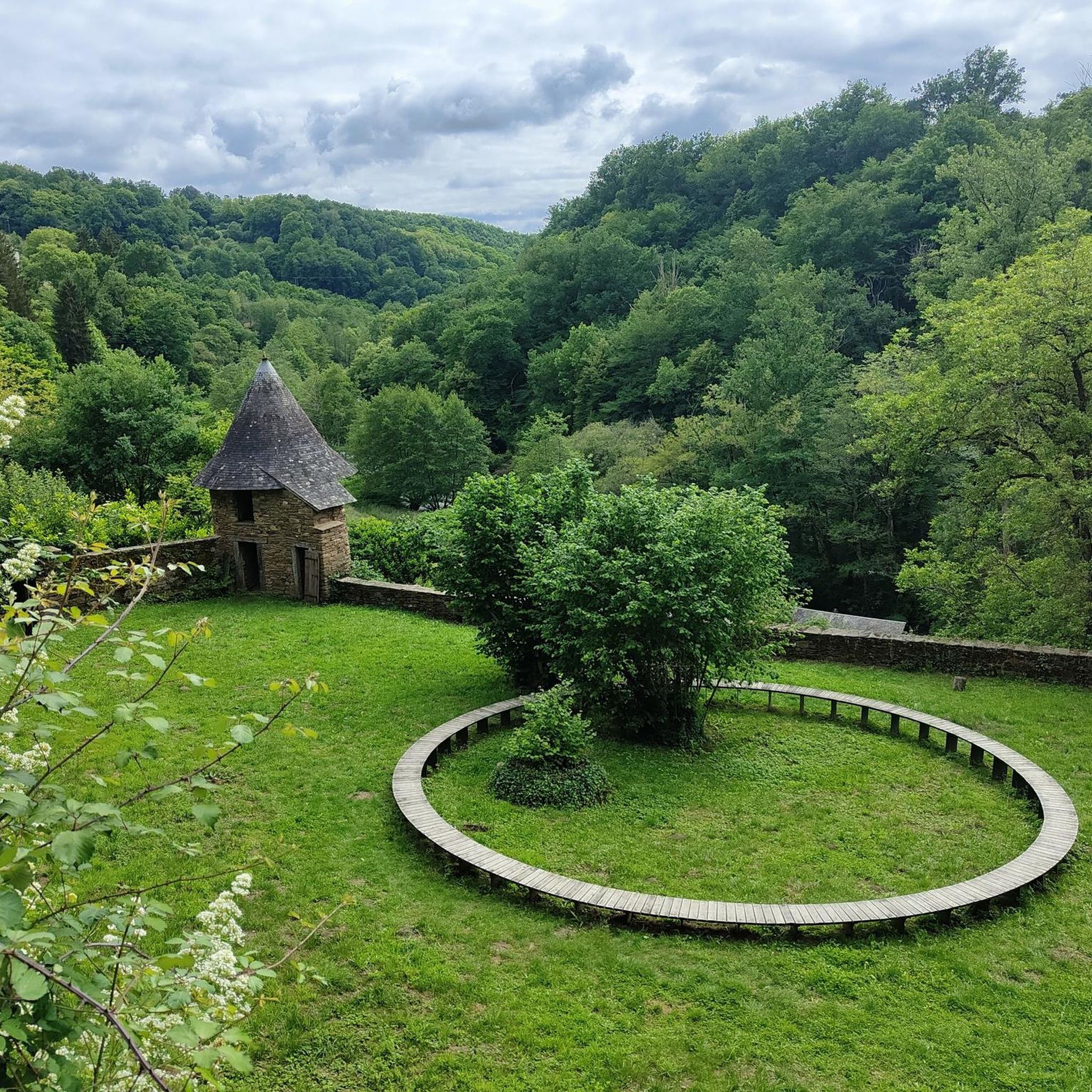
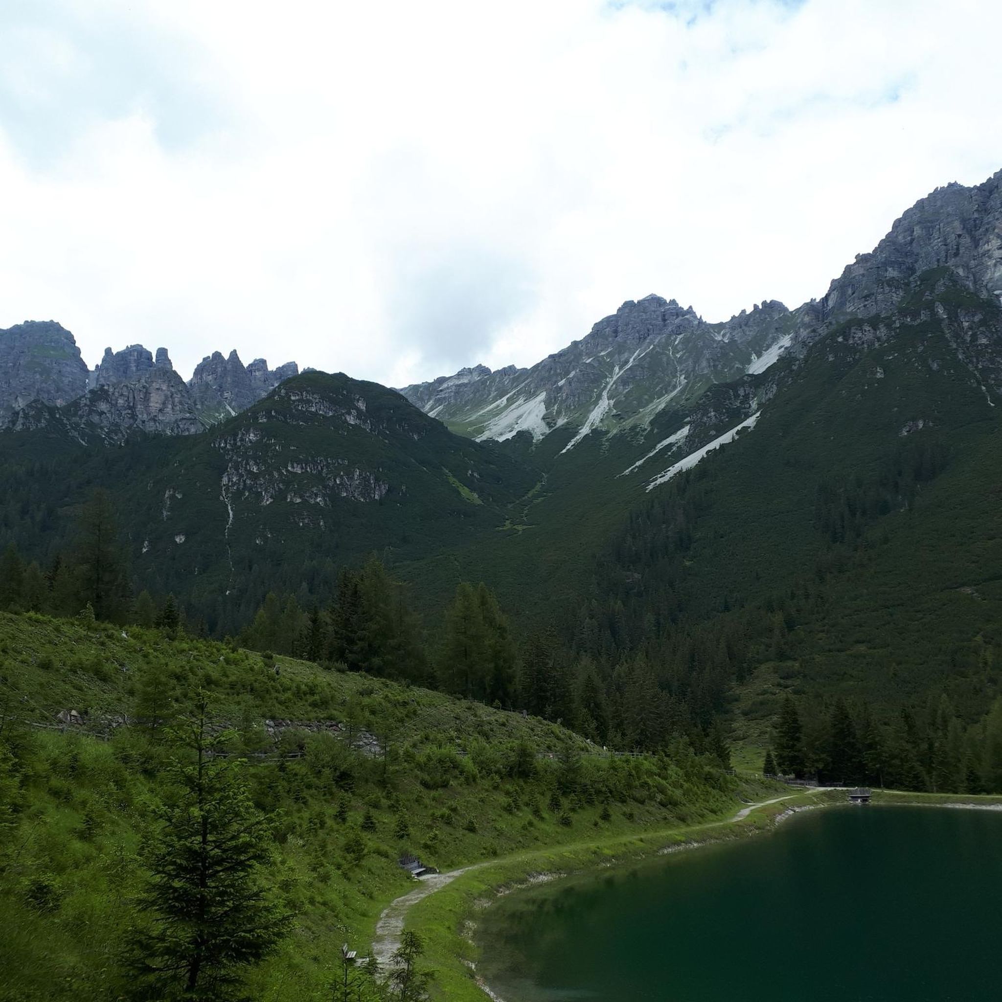
Jogging routes around Condat-sur-Ganaveix traverse a rural and verdant landscape within the Corrèze department. The commune features a blend of hedgerow meadows, agricultural areas, and forests, providing varied settings for running. Its terrain is discreetly hilly, with altitudes ranging between 296 and 470 meters, offering routes with gentle inclines and some challenging ascents. Several small rivers, including the Bradascou and the Ganaveix, cross the territory, potentially offering scenic paths along waterways.
Best jogging routes around Condat-Sur-Ganaveix
- The most popular jogging…
Last updated: June 29, 2026
5.0
(1)
7
runners
9.20km
01:04
140m
140m
Jog this moderate 5.7-mile (9.2 km) route on the La Corrézienne MTB Trail, gaining 456 feet (139 metres) near Uzerche.
50
runners
6.28km
00:42
50m
50m
Moderate run. Good fitness required. Mostly paved surfaces. Suitable for all skill levels.

Sign up for free
4.5
(2)
52
runners
8.03km
00:54
80m
80m
Moderate run. Good fitness required. Mostly paved surfaces. Suitable for all skill levels.
22
runners
18.9km
02:15
320m
320m
Hard run. Very good fitness required. Mostly paved surfaces. Suitable for all skill levels.
5.0
(1)
7
runners
9.20km
01:05
160m
170m
Moderate run. Good fitness required. Mostly paved surfaces. Suitable for all skill levels.
Get access to more routes and recommendations from other explorers.
Sign up for free
Already have an account?
Our route recommendations are based on thousands of hikes, rides, and runs completed by other people on komoot.
Start today with a free account
Your next adventure awaits.
Login or Signup


Tips from the Community

The beautiful Corrèze town of Uzerche is majestically situated on a rock formation above a tributary of the Vézère. Uzerche, an invincible fortified town, used to be on the border between Upper and Lower Limousin, and played an important role in the Carolingian period and the Middle Ages due to its strategic location and impressive fortresses. At the time it was called "Uzerche the virgin", she who had never been taken. The medieval town is also called the Pearl of Limousin thanks to its rich, remarkable architectural ensemble. Stroll along the old buildings, the stately towers and the atmospheric vaulted passages. The walk takes you past the Bécharie castle, a defence system from the 15th century, rebuilt in the 16th and 17th centuries, on the inventory of historical monuments, definitely recommended to visit
1
0

The Church of Saint-Pierre in Uzerche has been a listed historical monument since 1840. It perfectly embodies the Romanesque heritage of the Limousin region. You can visit the church, the crypt, and the gardens at the rear free of charge.
1
0
Nicknamed the "Pearl of Limousin," Azerche is a fortified town overlooking a bend in the Vézère River. The village's silhouette is particularly recognizable with its many towers pointing toward the sky.
1
0

Beautiful old church and crypt free to visit. Don't forget the garden behind the church.
1
0
Beautiful old city gate. The 12th and 13th century was the time when the troubadours Gaucelm Faidit and Uc la Bachellerie made waves in Uzerche. In the 13th and 14th centuries, Uzerche's position was again reflected in the arrival of influential figures, Louis IX of France in 1244 and 1256, Philip III of France in 1285, Pope Clement V in 1306 and Charles IV of France in 1324. The plague wreaked havoc in Uzerche between 1346 and 1348. In Uzerche there are still many people who hang a nut twig on the front door on June 24. This is an old tradition to thank Saint John for protecting it from the plague. In the 14th century, the inhabitants of Uzerche repulsed several attacks and in 1374, after repulsing an English attack, they were allowed to add three royal lilies to their coat of arms. In the same century, new fortresses were built and the city of Uzerche received nine gates that provided access to the city. Of these gates, only the Porte Bécharie remains.
1
0
The most beautiful perspective on Uzerche. Also parking space.
1
0

Uzerche is a city with a unique charm; towers and pinnacles respond to each other, stone walls and slate roofs merge. The place is truly magical and worth the detour
0
0

Frequently Asked Questions
How many running routes are available in Condat-sur-Ganaveix?
There are over 50 running routes around Condat-sur-Ganaveix, offering a diverse range of experiences for joggers of all levels. These routes traverse the region's rural and verdant landscapes, including hedgerow meadows, agricultural areas, and forests.
Are there easy running paths suitable for beginners or families?
Yes, while most routes are moderate, there is at least one easy running path available. The terrain in Condat-sur-Ganaveix is discreetly hilly, offering options from gentle inclines to more challenging ascents, so you can find routes that suit a leisurely pace or a family outing.
Can I find challenging routes with significant elevation for a more intense workout?
Absolutely. The region's terrain spans altitudes between 296 and 470 meters, providing routes with varied elevation. There are 4 difficult running paths available, such as the View of Uzerche – Saint-Pierre Church loop from Espartignac, which features over 320 meters of elevation gain over its 19 km distance.
Are there any circular running routes in the area?
Many of the running routes around Condat-sur-Ganaveix are circular, allowing you to start and finish at the same point. An example is the popular Running loop from Uzerche, which offers scenic views of the 'Pearl of Limousin'.
What kind of scenery can I expect while jogging around Condat-sur-Ganaveix?
You can expect picturesque rural and verdant landscapes. The routes wind through hedgerow meadows, agricultural areas, and forests, often alongside small rivers like the Bradascou and the Ganaveix. The preserved landscapes are typical of the Limousin region, known for its 'green tourism'.
Are there any historical landmarks or points of interest along the running trails?
Yes, several routes offer views of historical landmarks. For instance, the Running loop from Uzerche provides views of Uzerche, known for its medieval bridge and historic monuments. You might also encounter sights like the Porte Bécharie or the Saint-Pierre Church in Uzerche.
Is Condat-sur-Ganaveix suitable for dog-friendly running?
The rural and natural environment of Condat-sur-Ganaveix and the broader Corrèze department is generally welcoming for outdoor activities with dogs. Many trails pass through forests and open countryside, providing ample space for your canine companion. However, always ensure your dog is under control and check for any local regulations regarding pets on specific trails or in protected areas.
Where can I park my car when accessing running trails?
While specific parking areas for each trail are not detailed, the rural nature of Condat-sur-Ganaveix often means you can find parking in village centers or designated areas near trailheads. For routes starting from Uzerche or Espartignac, parking is typically available within those towns.
Are there options for longer distance running in the region?
Yes, for those seeking longer distances, routes like the View of Uzerche – Saint-Pierre Church loop from Espartignac cover nearly 19 km. The extensive network of trails throughout the Corrèze department also allows for combining shorter segments into longer runs.
What do other runners say about the trails in Condat-sur-Ganaveix?
The running routes in Condat-sur-Ganaveix are highly rated by the komoot community, with an average score of 4.6 stars from over 11 reviews. Reviewers often praise the varied terrain, the peaceful rural setting, and the opportunity to explore the natural beauty of the Limousin region.
What is the best time of year to go running in Condat-sur-Ganaveix?
The region's verdant character makes it appealing for outdoor activities throughout much of the year. Spring and autumn offer pleasant temperatures and beautiful foliage, while summer provides lush green landscapes. Even in winter, the discreetly hilly terrain can be enjoyed, though conditions may vary.
Can I access running routes using public transport in Condat-sur-Ganaveix?
Condat-sur-Ganaveix is a rural commune, and public transport options directly to trailheads may be limited. It's advisable to check local bus schedules or consider starting your run from nearby towns like Uzerche, which may have better public transport connections.
Are there any cafes or amenities near the running routes?
While Condat-sur-Ganaveix itself is a small commune, nearby towns like Uzerche (about 6 km away) offer amenities such as cafes and restaurants where you can refuel after your run. It's a good idea to plan your route to pass through or near these towns if you require facilities.
Most popular attractions around Condat-Sur-Ganaveix

Get inspired with the komoot mobile app


Explore more
Browse the best Running Trails & Routes in other regions.
