The best mountain hikes around Südharz
5.0
(3)
7
hikers
6
hikes
Mountaineering around Südharz offers routes through a distinctive gypsum karst landscape, characterized by unique rock formations and underground streams. The region features diverse beech and oak forests, providing varied terrain for ascents and descents. While part of a low mountain range, Südharz presents rugged elevations suitable for challenging mountaineering experiences. This area is recognized for its geological uniqueness and rich biodiversity.
Best mountaineering routes around Südharz
- The most popular mountaineering route is Goose's Beak – Three-valley view (HWN 93) loop…
Last updated: August 20, 2026
5.0
(1)
2
hikers
Hard mountaineering route. Good fitness required. Sure-footedness, sturdy shoes and alpine experience required.
1
hikers
Moderate mountaineering route. Good fitness required. Mostly accessible paths. Sure-footedness required.

Sign up for free
1
hikers
12.5km
03:38
250m
250m
Hard mountaineering route. Good fitness required. Sure-footedness, sturdy shoes and alpine experience required.
1
hikers
19.7km
05:35
420m
420m
Hard mountaineering route. Very good fitness required. Mostly accessible paths. Sure-footedness required.
5.94km
01:44
140m
140m
Moderate mountaineering route. Great for any fitness level. Mostly accessible paths. Sure-footedness required.
Our route recommendations are based on thousands of hikes, rides, and runs completed by other people on komoot.
Start today with a free account
Your next adventure awaits.
Login or Signup
Popular around Südharz
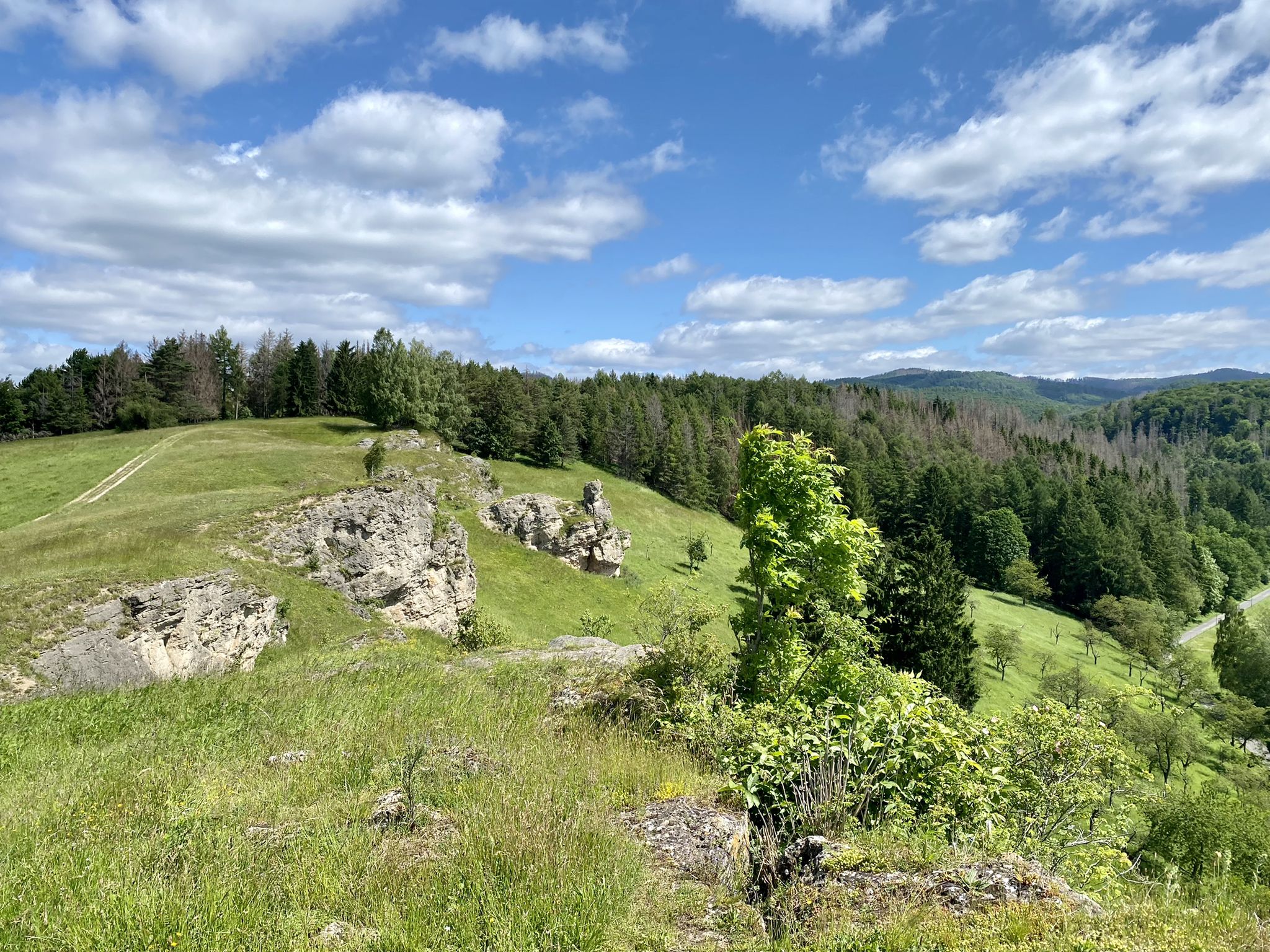
Karst Trail in Germany's Southern Harz Mountains – Where Water Meets Limestone
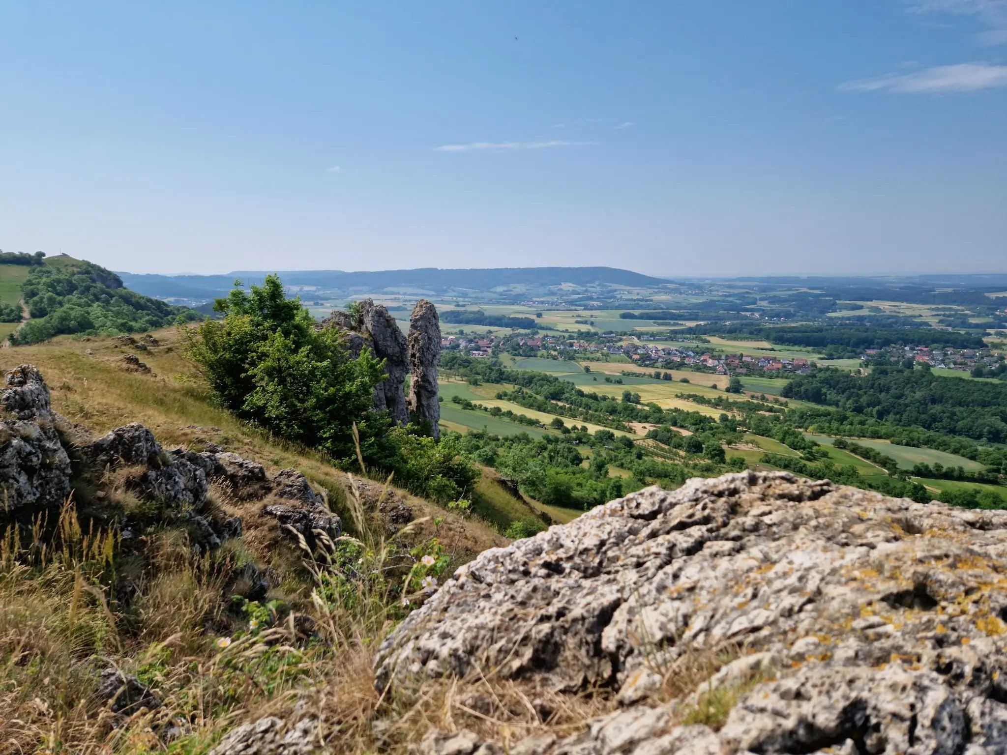
Ten fantastic hikes throughout Germany
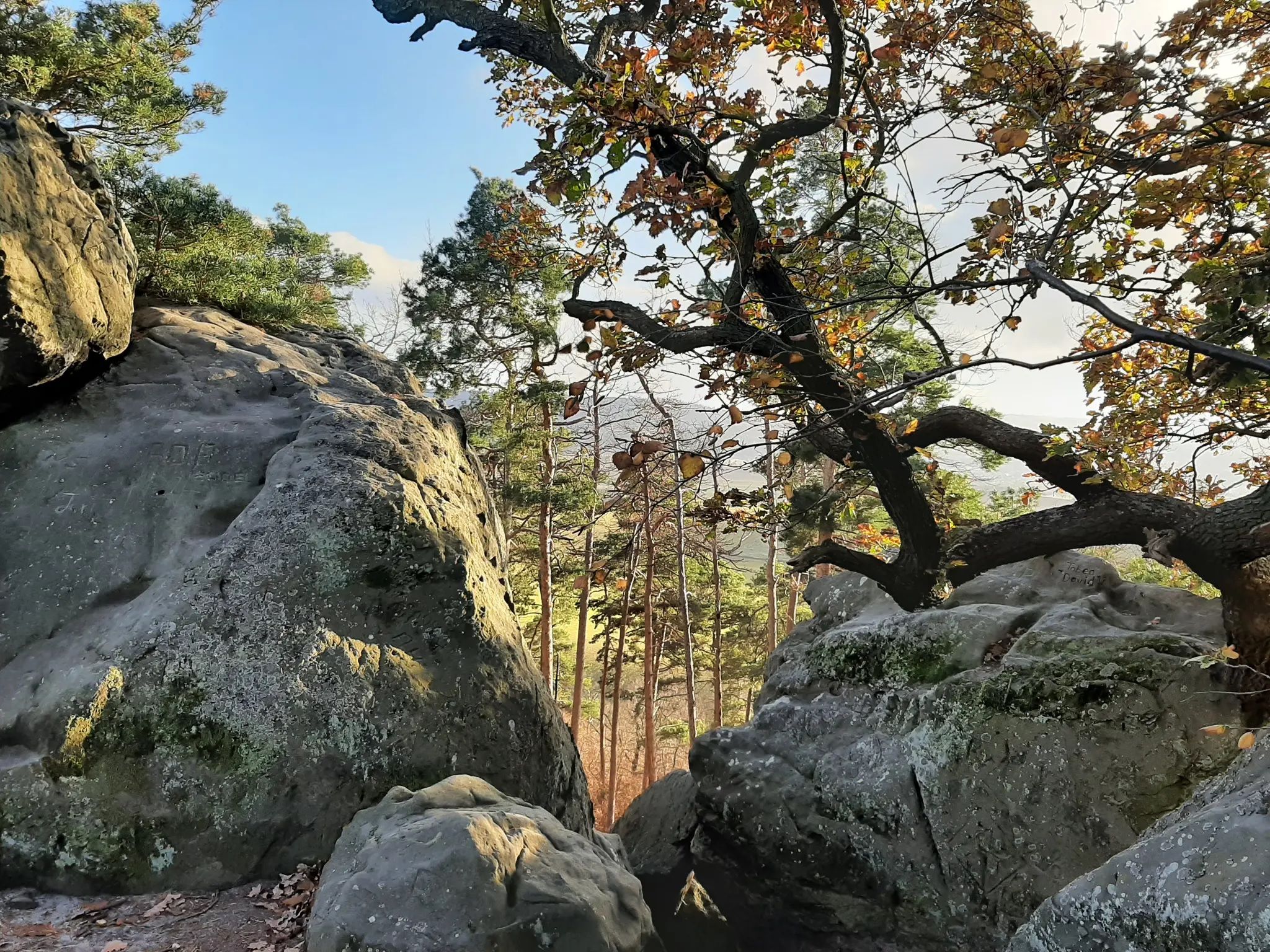
Legendary hikes in the Harz Mountains
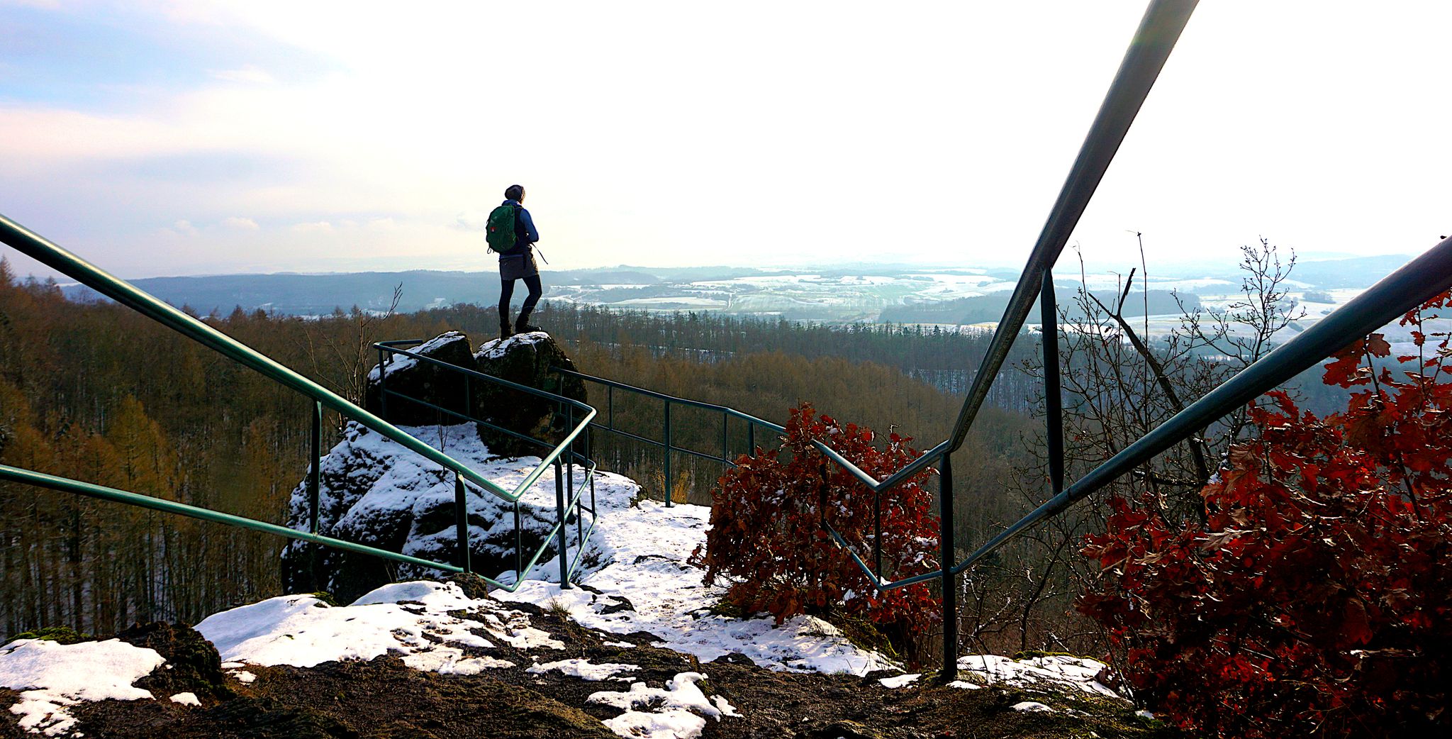
My 25 most beautiful Highlights in the Harz
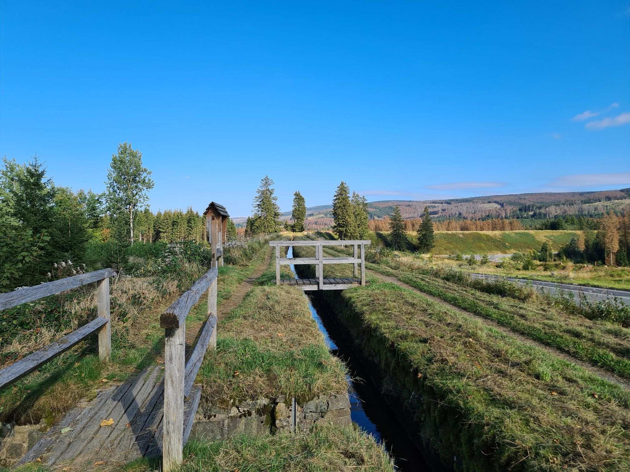
Explore Germany’s mining history — explore the Harz Mountains
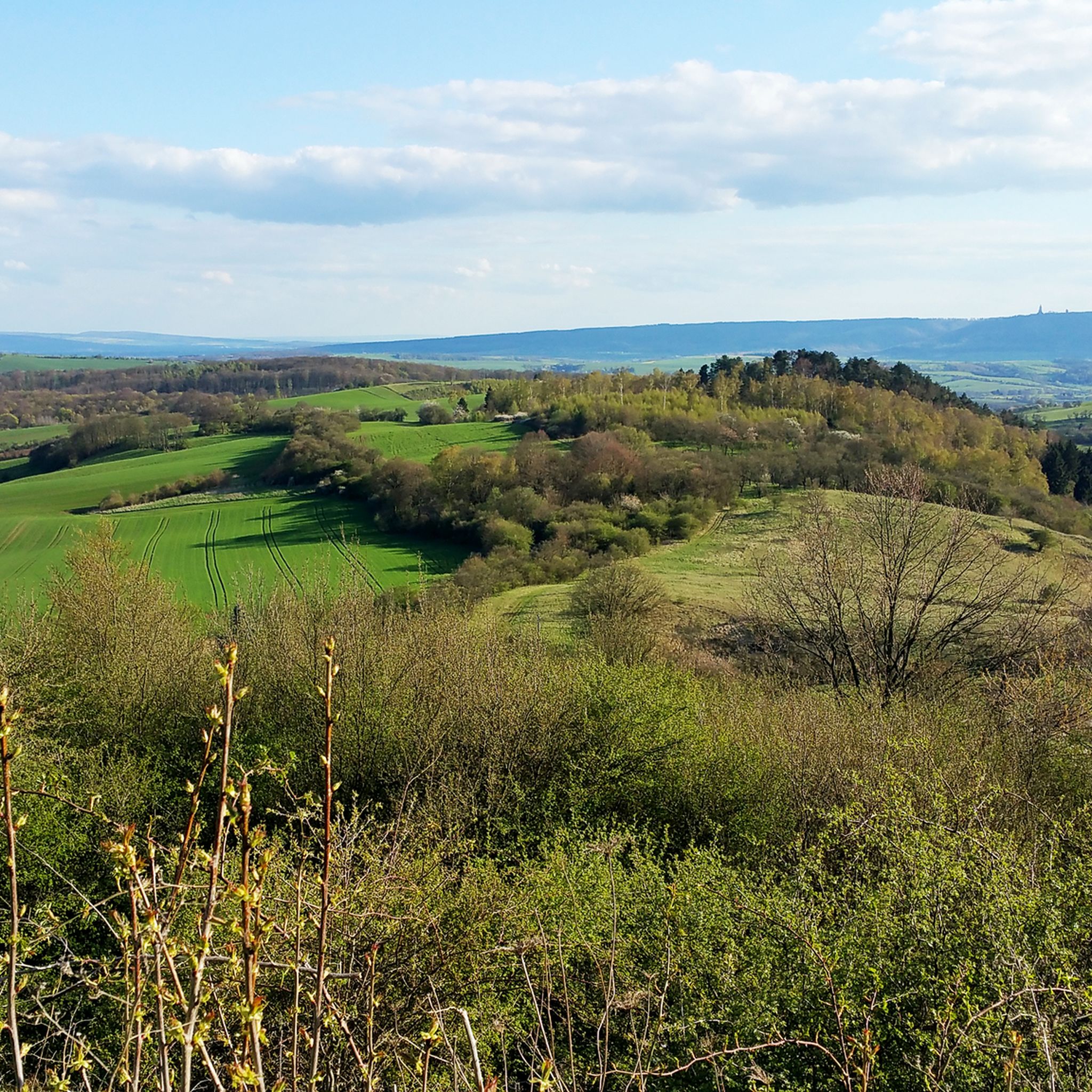
Hiking around Südharz
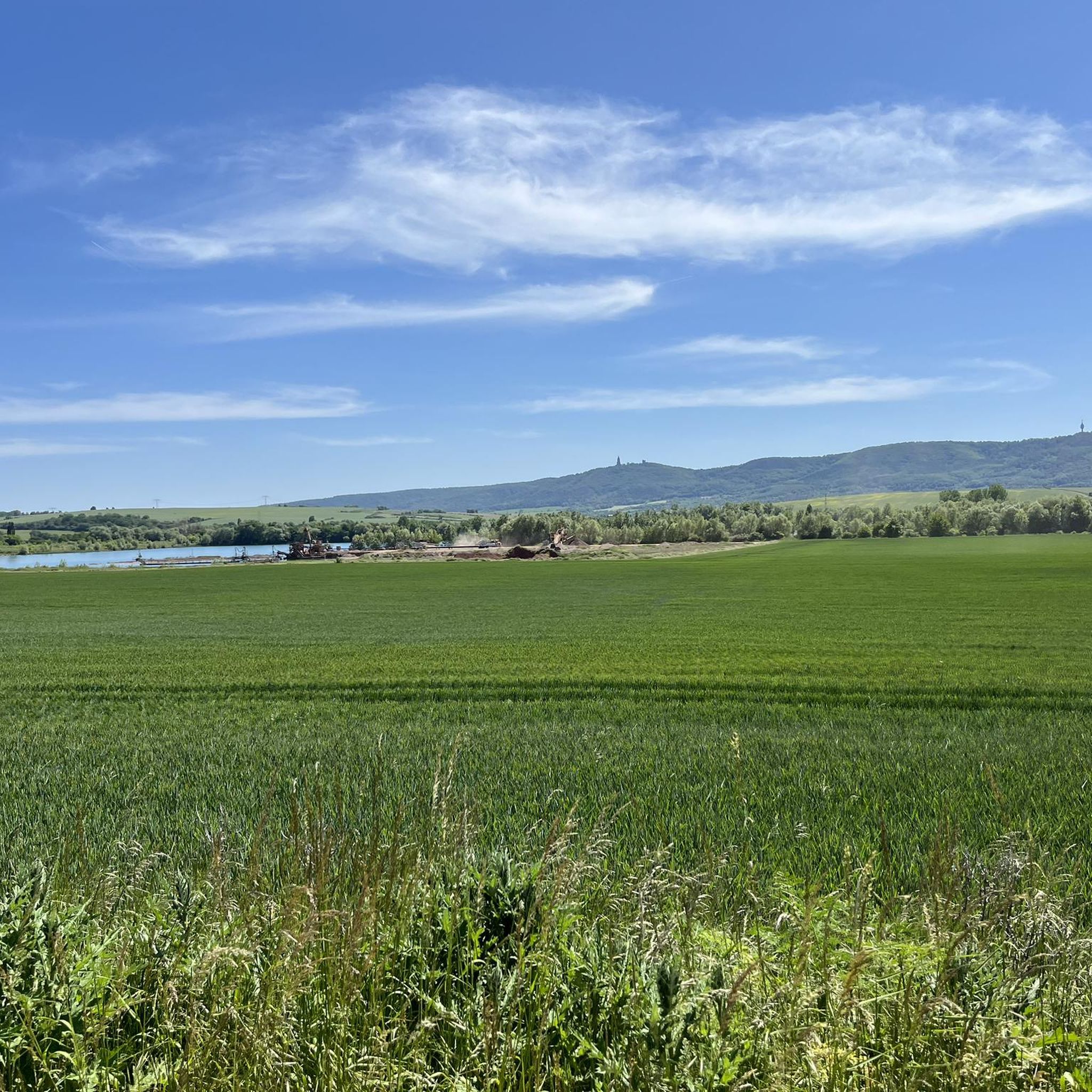
Cycling around Südharz
Road Cycling Routes around Südharz
Running Trails around Südharz
MTB Trails around Südharz
Other adventures around Südharz


Tips from the Community

Beautiful view into the wide country.
0
0

Very quiet corner. We hardly met any other hikers. The view from the tower is fantastic. You can see all the way to the Thuringian Forest, the Kyffhäuser Monument, and of course also the Brocken and the Wurmberg. And all this for free. Absolute recommendation!
0
0

That's not a waterfall, it's just a silly pipe. 0 out of 10 stars.
0
0

nice cozy and quiet corner, the tower also seems to offer a great view (unfortunately it was too high for me) 😎👍
0
0

Pure spring awakening! Discover the fragrant wild garlic meadows in the South Harz Nature Park. A walk or a short hike through lush meadows and light forests, where you can experience the aromatic wild garlic in its natural habitat. Perfect for nature lovers, photography enthusiasts, and anyone who wants to enjoy the fresh air and colors of the South Harz.
0
0

Beautiful view over the alpine landscape.
1
0

At this location, between the crossing over the stream and railway line and the visitor mine, there are actually three parking spaces. The one at the back (and marked here) is the mine's visitor parking lot and is not open to other people—such as hikers. However, there is plenty of parking in front of it.
0
0

Beautiful new observation tower (probably actually built for HSB communications) with a platform at 30 m. The paths here are quite easy to walk.
3
0
Frequently Asked Questions
What kind of terrain can I expect on mountaineering routes in Südharz?
Südharz is characterized by its unique gypsum karst landscape, featuring fascinating rock formations, streams that disappear underground, and funnel-shaped depressions. You'll also traverse diverse beech and oak forests. While part of a low mountain range, the region offers rugged elevations suitable for challenging ascents and descents, providing varied terrain for mountaineering.
Are there any easier mountaineering routes suitable for beginners in Südharz?
While many routes in Südharz are rated difficult, there are options for those seeking a moderate challenge. For instance, the Poppenberg Tower (HWN 92) – Three-valley view (HWN 93) loop from Ilfeld is a moderate 6.7-mile (10.9 km) path that includes ascents to viewpoints like Poppenberg Tower, offering a rewarding experience without extreme difficulty.
What natural features and viewpoints can I discover along the mountaineering routes in Südharz?
Südharz is rich in natural beauty. You can explore the unique karst landscape with its distinctive geological formations. Many routes lead to impressive viewpoints, such as the Poppenberg Tower (HWN 92), which offers panoramic views. The region's forests are also a highlight, especially in spring with wild garlic and wood anemones, or in autumn with their vibrant colors.
Are there any specific attractions or points of interest near the mountaineering trails?
Yes, Südharz offers several points of interest. You might encounter the Poppenberg Tower (HWN 92), which is a popular viewpoint. Other notable natural monuments in the broader area include the Great Devil's Mill (Harzer Wandernadel 189) and the Bergrat Müller Pond (HWN 190). These can often be integrated into longer hiking experiences.
How accessible are the mountaineering trailheads in Südharz by public transport or car?
The Harz Mountains, including Südharz, are well-known for their extensive hiking network. Many trailheads are accessible by car, often with designated parking areas. Public transport options, including buses and trains, also serve various towns and villages in the Südharz region, providing access to different starting points for your mountaineering adventures.
When is the best time of year to go mountaineering in Südharz?
Südharz offers year-round appeal for mountaineering. Spring brings fresh greenery and blossoms, while summer provides cool retreats in the forests. Autumn is particularly beautiful with magnificent red-golden leaves. Even in winter, snow-covered landscapes offer a unique experience. The best time depends on your preference for scenery and weather conditions.
Are the mountaineering routes in Südharz suitable for families or dogs?
Many trails in the Harz region are suitable for families, though mountaineering routes can be more challenging. It's advisable to check individual route descriptions for difficulty and length when planning with children. For dogs, the Harz Nature Park generally requires dogs to be kept on a leash to protect wildlife, especially in sensitive areas. Always ensure your dog is fit for the terrain and distance.
Are there circular mountaineering routes available in Südharz?
Yes, Südharz features several circular mountaineering routes. For example, the Goose's Beak – Three-valley view (HWN 93) loop from Ilfeld is a difficult 4.7-mile (7.5 km) circular trail offering expansive views. Another option is the Carlsturm Observation Tower – Walzhaus Shelter loop from Sophienhof, which is a 7.1-mile (11.4 km) difficult loop through dense forests.
Do I need a permit for mountaineering in Südharz?
Generally, you do not need a specific permit for mountaineering or hiking on marked trails in the Südharz region. The area is part of an extensive network of public trails. However, always respect local regulations, especially within nature reserves, and stay on designated paths to protect the unique gypsum karst landscape and its biodiversity.
What do other mountaineers enjoy the most about mountaineering in Südharz?
The mountaineering routes in Südharz are highly rated by the komoot community, with an average score of 5.0 stars. Reviewers often praise the unique gypsum karst landscape, the diverse forests, and the challenging yet rewarding terrain. The opportunity to explore a region recognized for its geological uniqueness and rich biodiversity is a significant draw.
How many mountaineering routes are available in Südharz?
There are several mountaineering routes available in Südharz, offering a range of experiences. This guide highlights 5 distinct routes, including difficult and moderate options, allowing you to choose based on your skill level and desired challenge.
Are there any longer, more challenging mountaineering routes in Südharz?
For those seeking a longer and more challenging experience, the Questenberg Ruins – Bench With View of Borntal loop from Questenberg is a difficult 12.2-mile (19.7 km) route. Another demanding option is the Three-valley view (HWN 93) – Ilfeld Barbecue Area loop from Naturpark Südharz, a difficult 6.8-mile (11 km) trail with significant elevation changes.
Most popular routes around Südharz
Most popular attractions around Südharz

Get inspired with the komoot mobile app


