The best cycling routes around Étalondes
4.4
(1194)
7,010
riders
228
rides
Touring cycling routes around Étalondes traverse a varied landscape situated on a plateau overlooking the Bresle Valley, near the coast and the Forêt d'Eu. The region features extensive beech forests, coastal areas with cliffs, and agricultural lands. A notable cycling infrastructure includes the Chemin vert du Petit Caux, a greenway built on an old railway line.
Best touring cycling routes around Étalondes
- The most popular touring cycling route is Cycle route from Le Tréport to Eu – Le Tréport loop…
Last updated: October 12, 2026
4.7
(17)
126
riders
22.5km
01:22
140m
140m
Easy bike ride. Great for any fitness level. Mostly paved surfaces. Suitable for all skill levels.
4.0
(14)
89
riders
9.05km
00:35
40m
30m
Easy bike ride. Great for any fitness level. Mostly paved surfaces. Suitable for all skill levels.

4.0
(14)
87
riders
10.6km
00:40
90m
90m
Easy bike ride. Great for any fitness level. Mostly paved surfaces. Suitable for all skill levels.
4.6
(7)
40
riders
27.4km
01:52
180m
180m
Moderate bike ride. Good fitness required. Mostly paved surfaces. Suitable for all skill levels.
20
riders
Easy bike ride. Great for any fitness level. Mostly paved surfaces. Suitable for all skill levels.
Get access to more routes and recommendations from other explorers.
Already have an account?
Our route recommendations are based on thousands of hikes, rides, and runs completed by other people on komoot.
Start today with a free account
Your next adventure awaits.
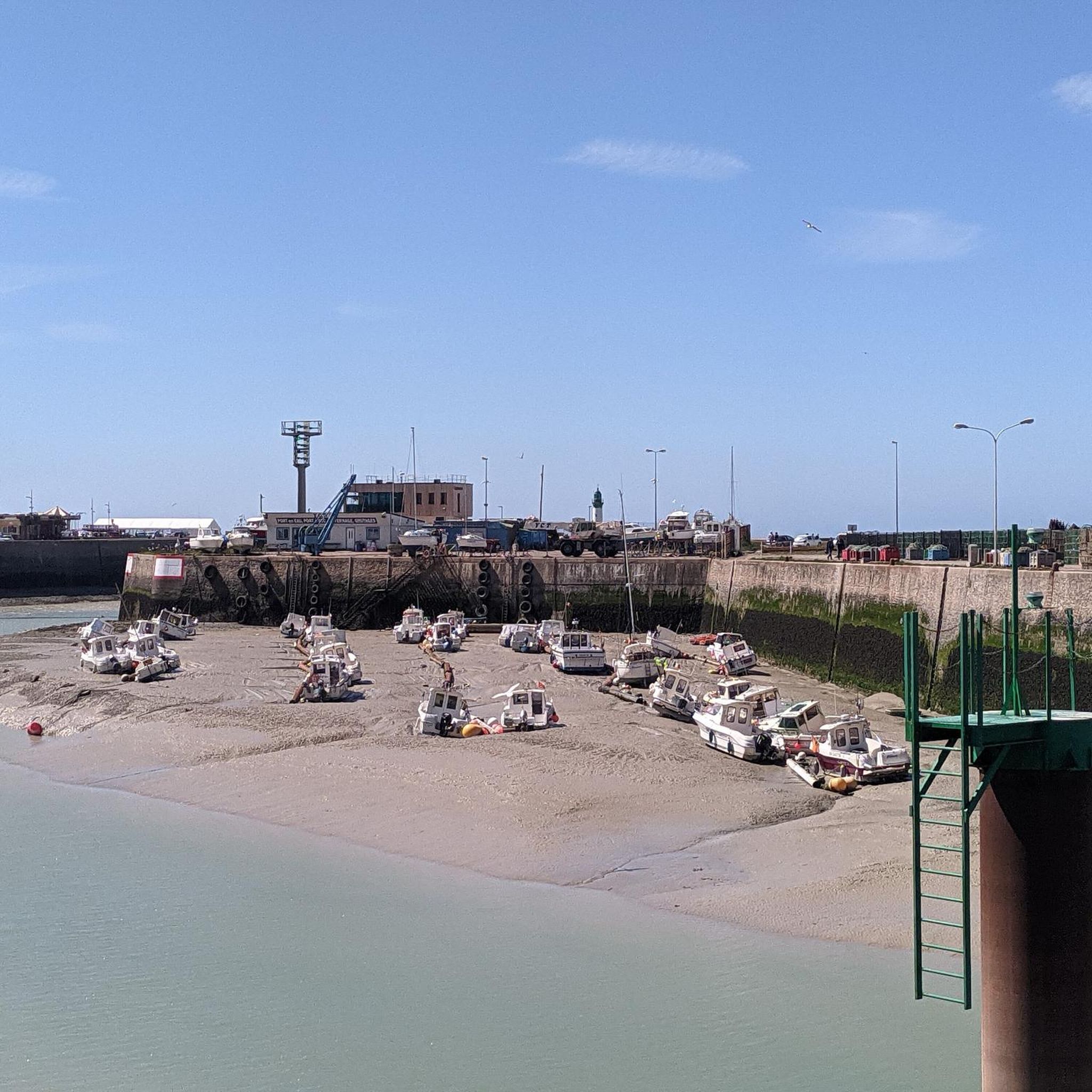
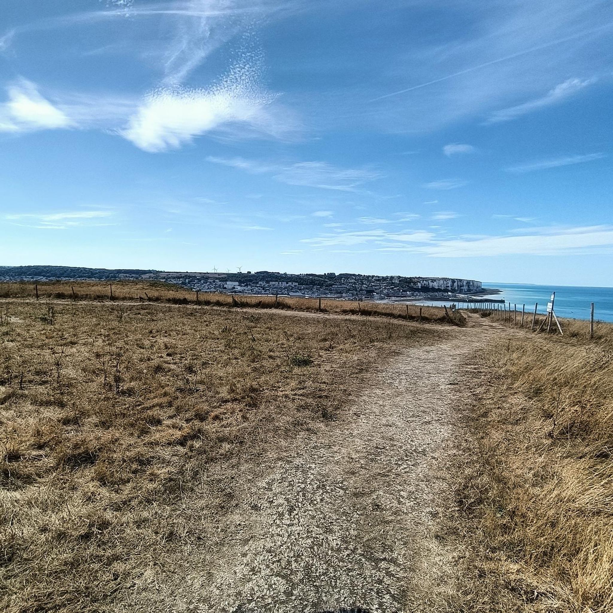
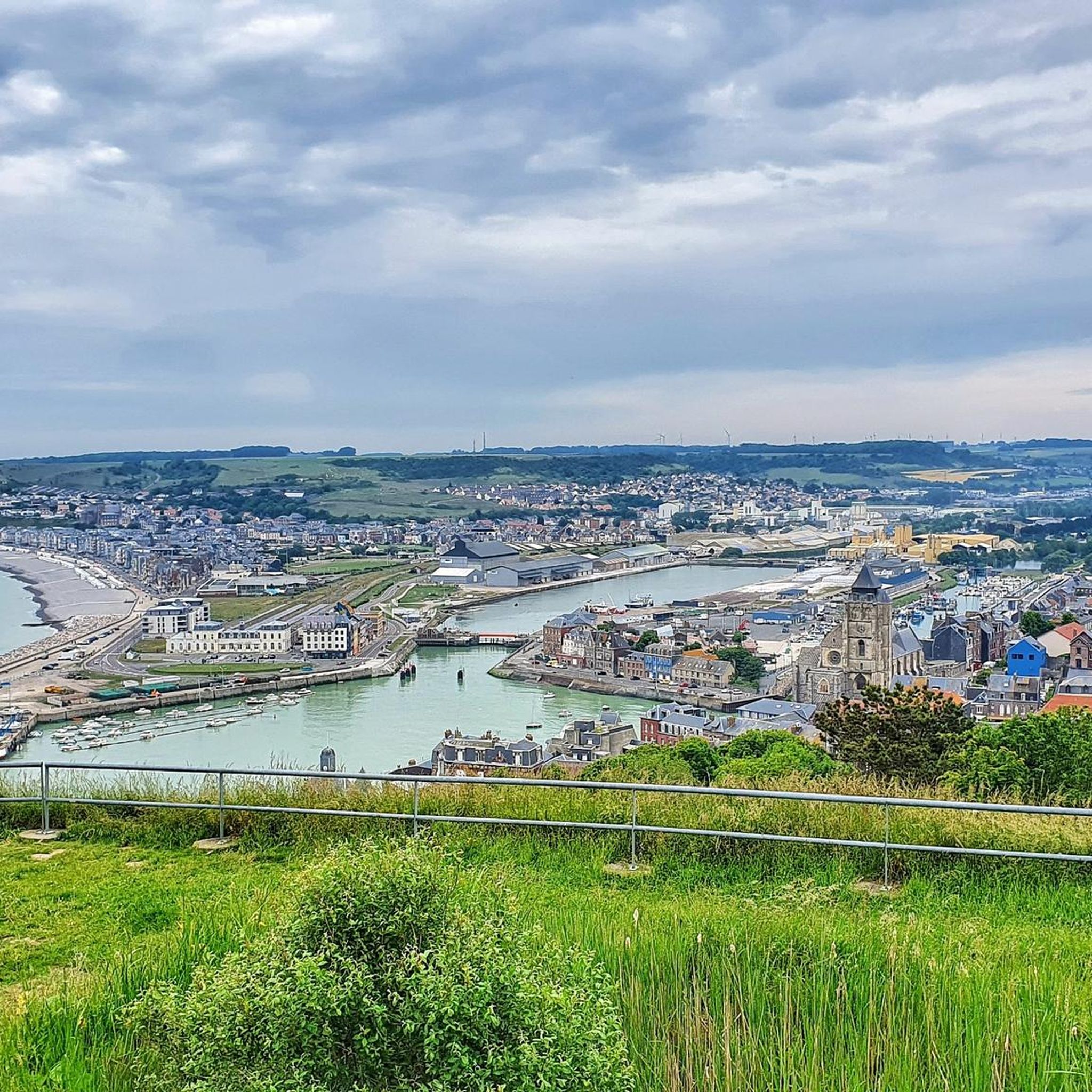
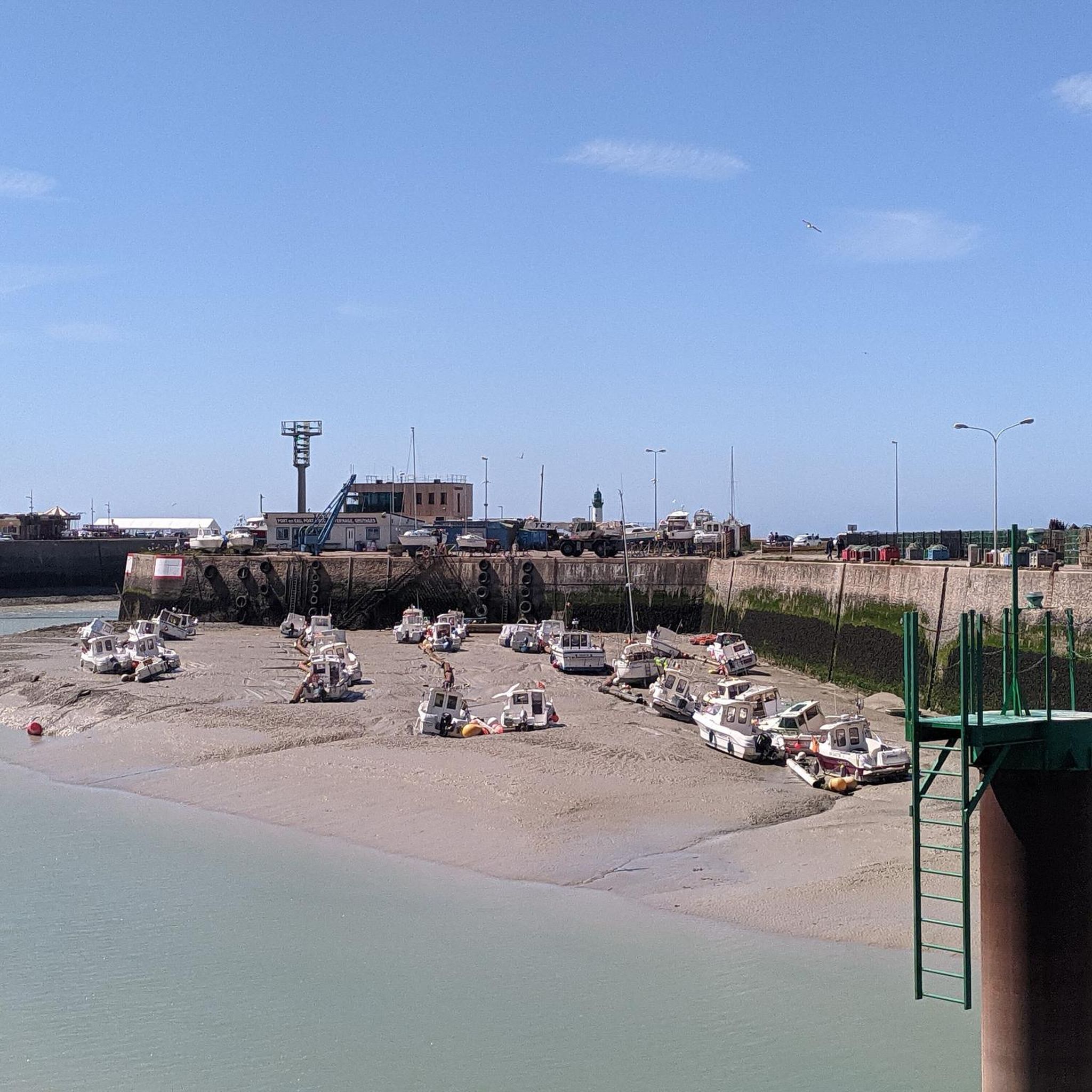

Tips from the Community


Beautiful view of the port of Tréport and the sea
1
0
you don't have to take the cliff top path on the last stretch to Treport funicular
0
0

Above the cliffs of Le Treport there is a great view over the city, the sea and the cliffs of Mers-les-Bains.
3
0
What a view. 100 meters above the city on the chalk cliffs.
4
0

You can see the entire village. A cable car from the Quartier des Cordiers takes you up to the cliffs if you don't want to climb the many steps. The view is worth the effort.
1
0
Be sure to start at Gare Haute as there is ample parking available
1
0

From the viewpoint above the funicular you have a spectacular view of the sea, the narrow streets of the Cordiers district and the long harbor.
2
1
Frequently Asked Questions
How many touring cycling routes can I find around Étalondes?
There are over 220 touring cycling routes available around Étalondes, offering a wide variety of options for different skill levels and preferences.
What types of terrain can I expect on touring cycling routes near Étalondes?
The routes around Étalondes traverse a diverse landscape, including a plateau overlooking the Bresle Valley, extensive beech forests of the Forêt d'Eu, coastal areas with cliffs, and agricultural lands. You'll find a mix of flat sections, gentle inclines, and coastal paths.
Are there routes suitable for beginners or those looking for an easy ride?
Yes, Étalondes offers a good selection of easy touring cycling routes. Approximately 66 routes are classified as easy, such as the Normandy – Castle Park loop from Eu, which is just over 13 km long and takes about 1 hour to complete.
What historical sites or landmarks can I explore while cycling near Étalondes?
While cycling, you can visit the historic town of Eu with its 16th-century castle. The coastal town of Mers-les-Bains is renowned for its Belle Époque villas. You can also see the Belle Époque houses of Mers-les-Bains and the Le Tréport Funicular.
Are there any scenic viewpoints or natural attractions along the cycling routes?
Absolutely. Many routes offer stunning coastal views, especially along the cliffs from Criel-sur-Mer to Mers-les-Bains. You can encounter natural monuments like the Ault Chalk Cliffs and La Cise Cliff, or enjoy panoramic views from the Viewpoint overlooking the cliffs of Le Tréport. The Forêt d'Eu also provides tranquil wooded scenery.
Are there any dedicated cycling paths or greenways in the Étalondes area?
Yes, a significant advantage for touring cyclists is the Chemin vert du Petit Caux. This 17-kilometer marked route is built on an old railway line between Eu and Saint-Quentin-au-Bosc, offering a safe and enjoyable experience away from vehicular traffic.
Can I find circular touring cycling routes around Étalondes?
Yes, many of the touring cycling routes around Étalondes are circular, allowing you to start and end at the same point. An example is the Funicular – Eu Castle loop from Eu, a moderate 25.6 km route.
Are there family-friendly touring cycling routes near Étalondes?
The region offers several easy and relatively flat routes that are suitable for families. The Chemin vert du Petit Caux, being a dedicated greenway, is particularly well-suited for family rides due to its safety and absence of car traffic.
What is the best time of year for touring cycling in Étalondes?
The best time for touring cycling in Étalondes is typically from spring to early autumn (April to October) when the weather is milder and more predictable. This period offers pleasant temperatures for exploring both the coastal areas and the woodlands.
Are there options for longer touring cycling routes in the region?
Yes, for those seeking longer rides, there are routes like the Cliffs – Eastern end of Falaises d'Albâtre, Ault coastal panorama loop from Saint-Rémy-Boscrocourt, which covers 45.1 km and takes over 3 hours to complete, offering a more extensive exploration of the coastal cliffs.
What do other touring cyclists say about the routes in Étalondes?
The touring cycling routes in Étalondes are highly rated by the komoot community, with an average score of 4.4 stars from over 800 reviews. Cyclists often praise the varied scenery, from tranquil forests to dramatic coastal cliffs, and the well-maintained paths like the Chemin vert.
Are there any dog-friendly touring cycling routes around Étalondes?
While specific dog-friendly designations for cycling routes can vary, many of the paths through the Forêt d'Eu and along quieter country roads are generally suitable for cycling with dogs, provided they are well-behaved and kept on a leash where necessary. Always check local regulations for specific areas.
Most popular routes around Étalondes
Most popular attractions around Étalondes

Get inspired with the komoot mobile app


Explore more
Browse the best Cycling routes in other regions.
