The best running trails around Langenbernsdorf
4.6
(42)
159
runners
31
runs
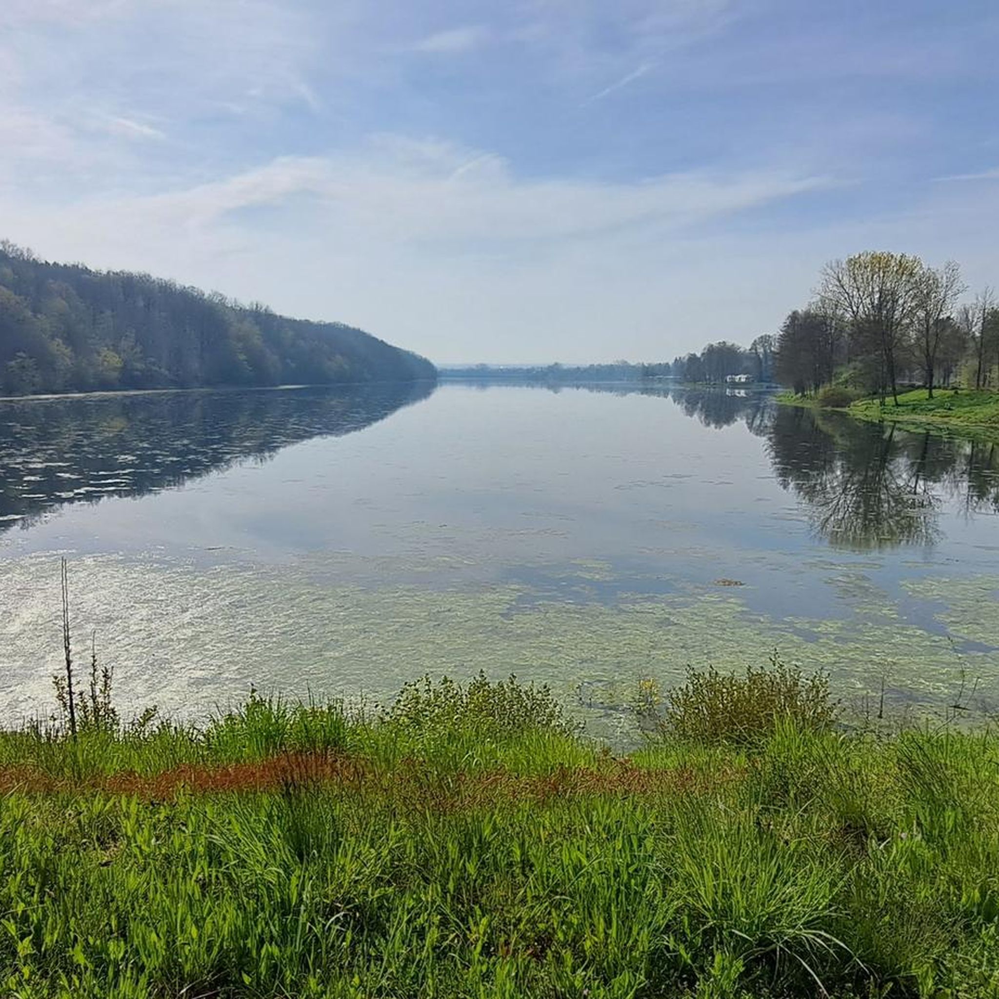
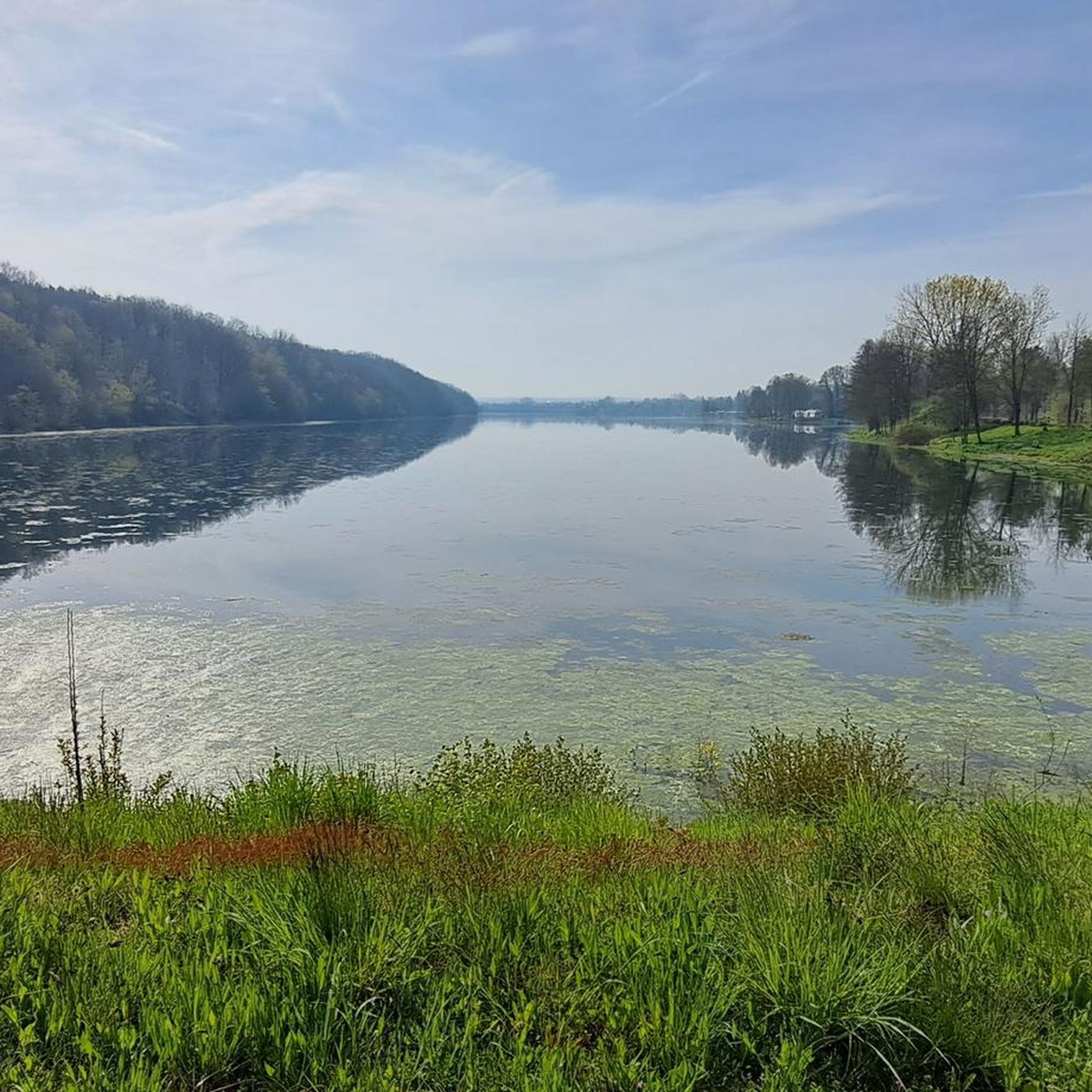
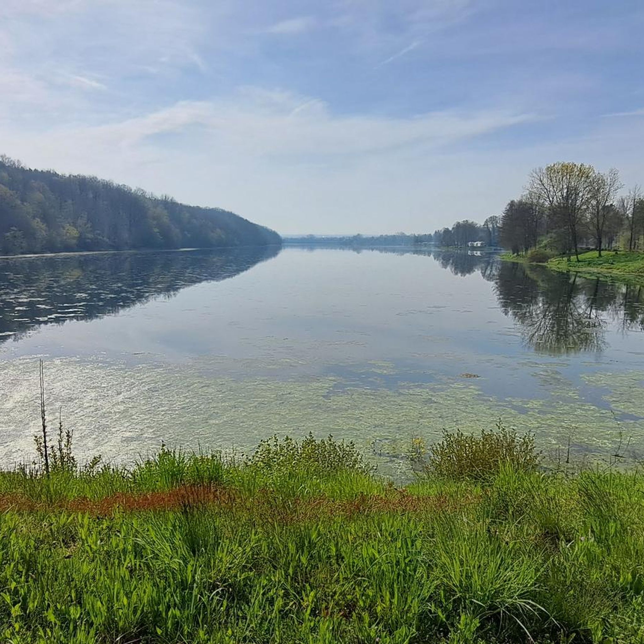
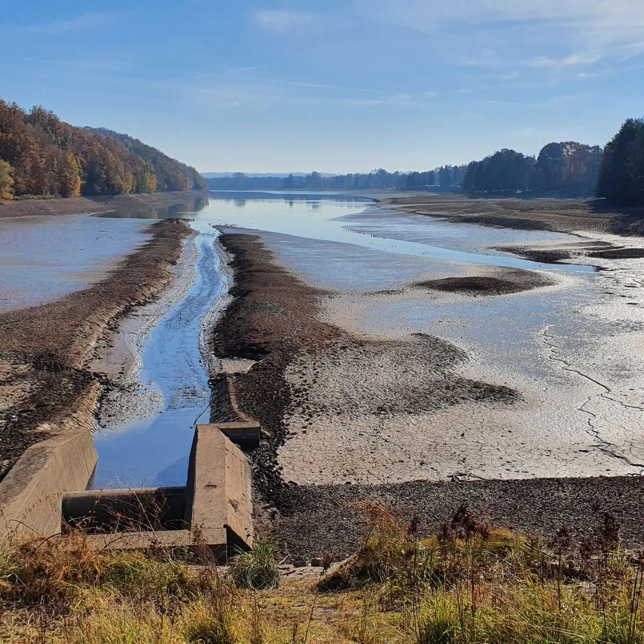
Jogging around Langenbernsdorf offers access to diverse natural landscapes, including extensive forests and scenic reservoirs. The region is characterized by its natural features, providing varied terrain suitable for running. Notable areas include the Werdauer Wald to the north and the Koberbachtalsperre, which features a circular route. These natural settings offer numerous paths and trails for outdoor activities.
Best jogging routes around Langenbernsdorf
- The most popular jogging route is Stöcken Forest Playground loop from LSG Werdauer Wald, a 5.3 miles…
Last updated: October 11, 2026
4.5
(21)
52
runners
Moderate run. Good fitness required. Mostly paved surfaces. Suitable for all skill levels.
4.9
(8)
12
runners
10.7km
01:09
80m
80m
Moderate run. Good fitness required. Mostly paved surfaces. Suitable for all skill levels.

5
runners
8.57km
00:56
70m
70m
Moderate run. Good fitness required. Mostly paved surfaces. Suitable for all skill levels.
3
runners
11.3km
01:13
140m
140m
Moderate run. Good fitness required. Mostly paved surfaces. Suitable for all skill levels.
4.5
(2)
5
runners
14.8km
01:35
150m
150m
Moderate run. Good fitness required. Mostly paved surfaces. Suitable for all skill levels.
Get access to more routes and recommendations from other explorers.
Already have an account?
Our route recommendations are based on thousands of hikes, rides, and runs completed by other people on komoot.
Start today with a free account
Your next adventure awaits.
Tips from the Community

The measuring point (in the middle of the field) on the Glasberg was in the 19th century station 123 of the Royal Saxon Triangulation. "The Royal Saxon Triangulation (here with its historical proper name) is a land survey carried out between 1862 and 1890 in the territory of the Kingdom of Saxony, with the simultaneous creation of a trigonometric network. The aim was to scientifically and geodetically accurately capture the state territory and to create the basis for the production of accurate maps by establishing permanently marked fixed points. The Großenhainer baseline was determined as the scale-defining basis." - https://de.wikipedia.org/wiki/K%C3%B6niglich-S%C3%A4chsische_Triangulirung From the Oberalbertsdorf station, the neighboring stations Fuchsberg, Hospitalberg, Sorge, and Reust were sighted. Today, not all sightlines still exist, but the place offers a fantastic view of the mountains of the Westerzgebirge and Vogtland.
1
0

A young woman was murdered here on June 27, 1945. The site is regularly maintained by unknown persons.
0
0

Fantastic nature, peace and quiet, and great cycle paths.
0
0


Such a shame about the beautiful playground. Now it's all gone :(
0
0

Unfortunately, it's in a terrible state. :((( Closed off, cut down, inaccessible.
1
0
If the visibility is good, you can see as far as the Ore Mountains.
0
0

Unfortunately the playground no longer exists!! All the trees and play equipment are gone... What a shame!🤨😕
1
0
Frequently Asked Questions
How many running trails are available in Langenbernsdorf?
Langenbernsdorf offers a wide selection of running routes, with over 30 trails available for you to explore. These routes vary in difficulty, ensuring there's something for every runner.
What kind of terrain can I expect on the jogging routes in Langenbernsdorf?
The region is characterized by diverse natural landscapes. You'll find extensive forested areas like the Werdauer Wald, scenic paths around the Koberbachtalsperre reservoir, and routes along the Elster river. This mix provides varied terrain, from forest paths to lakeside trails.
Are there running routes suitable for beginners or those looking for an easy run?
Yes, Langenbernsdorf offers several options for easier runs. While most routes are moderate, there are at least two designated easy trails perfect for beginners or a relaxed jog. These routes typically feature gentler inclines and well-maintained paths.
What do other runners say about the trails in Langenbernsdorf?
The running routes in Langenbernsdorf are highly rated by the komoot community, holding an average score of 4.6 stars from over 20 reviews. More than 140 runners have used komoot to explore the area, often praising the varied terrain and natural beauty.
Are there any circular running routes in the area?
Yes, many of the running routes in Langenbernsdorf are circular, offering convenient starting and ending points. A notable example is the scenic 4.3 km circular route around the Koberbachtalsperre reservoir, which is popular for both jogging and walking. You can also find routes like the Stöcken Forest Playground loop from LSG Werdauer Wald or the Röhrteich loop from Neustöcken.
Can I bring my dog on the running trails in Langenbernsdorf?
Many of the natural areas, especially the extensive forested trails in the Werdauer Wald, are generally dog-friendly. However, it's always advisable to keep your dog on a leash and be mindful of local regulations, especially around nature reserves or populated areas. Always clean up after your pet.
Are there family-friendly jogging options in Langenbernsdorf?
Absolutely. The Koberbachtalsperre reservoir offers a relatively flat and scenic circular route that is great for families. Additionally, the Waldsportplatz "Zur Hasenheide" in the Stöcken district is nestled within the woods and provides opportunities for various sporting activities, making it a good starting point for family outings that include a run.
What natural landmarks or scenic views can I expect to see while running?
Langenbernsdorf offers several scenic spots. You can enjoy the tranquil beauty of the Werdauer Wald, the expansive views around the Koberbachtalsperre reservoir, and picturesque stretches along the Elster river. The Elster Weir, Neumühle, for instance, serves as a beautiful starting point for routes along the river.
Are there any specific points of interest or attractions along the routes?
Yes, you can encounter several interesting points. For example, the Weidmannsruh Inn and St. Hubertus Chapel is a notable landmark. You might also come across the Sprotte Water Adventure Trail Suspension Bridge, which adds an interactive element to some paths. The region also features various gorges like Gorge Near Eulamühle, offering unique natural sights.
What are the options for parking near the running trails?
Parking is generally available near popular starting points for trails, especially around key natural attractions. For instance, the Koberbachtalsperre reservoir, a popular spot for jogging, has designated parking areas. Similarly, access points to the Werdauer Wald often provide parking facilities for outdoor enthusiasts.
Is public transport available to access the jogging routes?
While specific public transport links directly to every trailhead might be limited, Langenbernsdorf and its surrounding districts are connected by local bus services. It's recommended to check local bus schedules to find the closest stops to your desired running route, particularly for areas like the Koberbachtalsperre or the Werdauer Wald.
Are there longer running routes for more experienced runners?
Yes, for those seeking a longer challenge, Langenbernsdorf offers several routes exceeding 10 km. An example is the Glasberg loop from Trünzig, which covers over 11 km and features moderate elevation changes, providing a good workout for experienced runners.
Most popular routes around Langenbernsdorf
Most popular attractions around Langenbernsdorf

Get inspired with the komoot mobile app


Explore more
Browse the best Running Trails & Routes in other regions.
