The best running trails around St. Egidien
4.4
(824)
8,390
runners
626
runs
Jogging around St. Egidien offers diverse landscapes, transitioning from the Saxon Granulite Mountains to the Ore Mountains foreland. The region features varied terrain with elevations reaching up to 370 meters, providing engaging backdrops for runs. Water bodies like the Lungwitzbach stream and the Talsperre St. Egidien enhance the scenic routes. This geographical setting provides a mix of gentle inclines and declines suitable for various running experiences.
Best jogging routes around St. Egidien
- The most popular jogging route is Rümpfwald Trail…
Last updated: August 17, 2026
4.8
(9)
64
runners
Moderate run. Good fitness required. Mostly paved surfaces. Suitable for all skill levels.
5.0
(3)
19
runners
Moderate run. Good fitness required. Mostly paved surfaces. Suitable for all skill levels.

Sign up for free
5.0
(1)
31
runners
14.8km
01:32
100m
100m
Moderate run. Good fitness required. Mostly paved surfaces. Suitable for all skill levels.
4.5
(2)
13
runners
Moderate run. Good fitness required. Mostly paved surfaces. Suitable for all skill levels.
4.0
(4)
14
runners
Moderate run. Good fitness required. Mostly paved surfaces. Suitable for all skill levels.
Get access to more routes and recommendations from other explorers.
Sign up for free
Already have an account?
Our route recommendations are based on thousands of hikes, rides, and runs completed by other people on komoot.
Start today with a free account
Your next adventure awaits.
Login or Signup
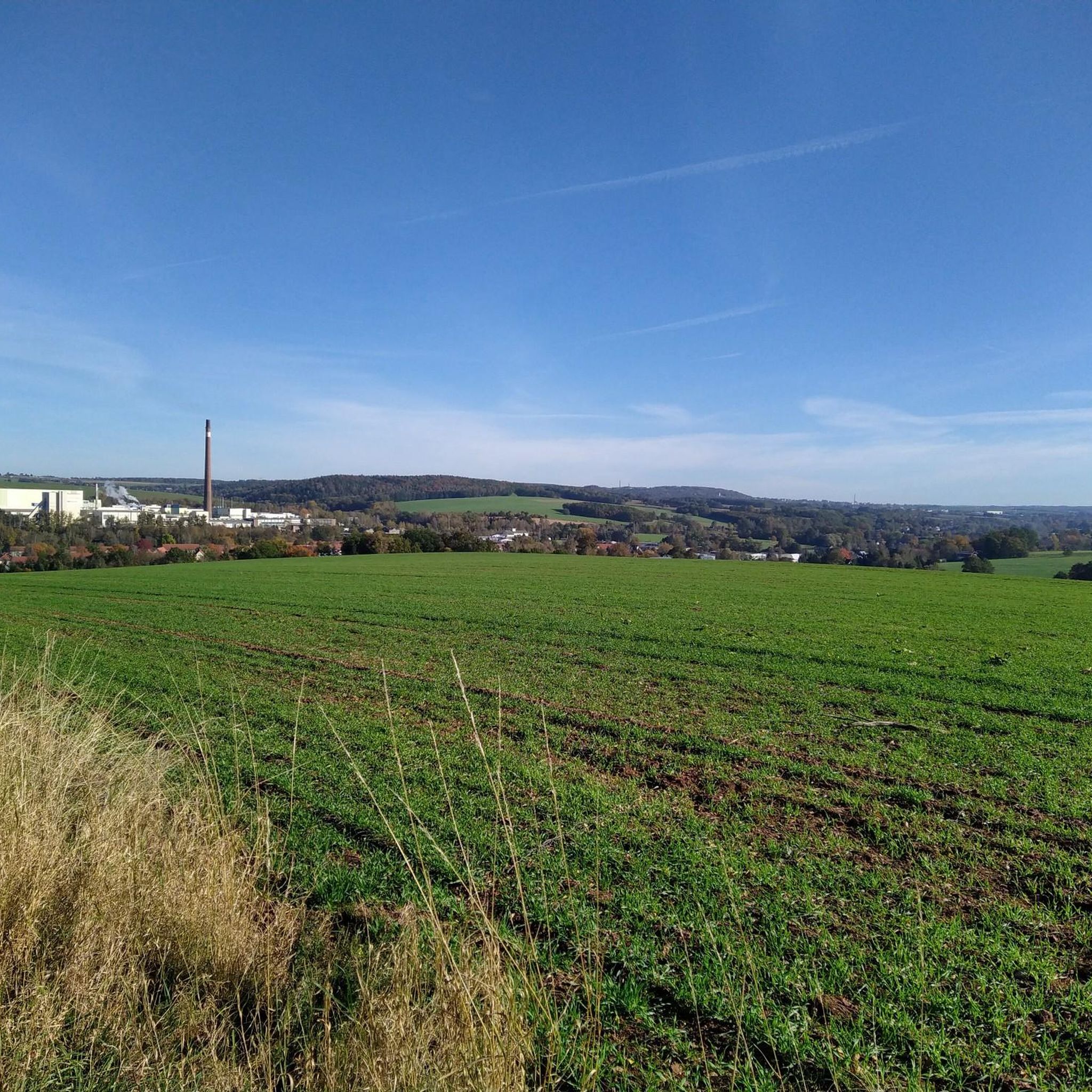
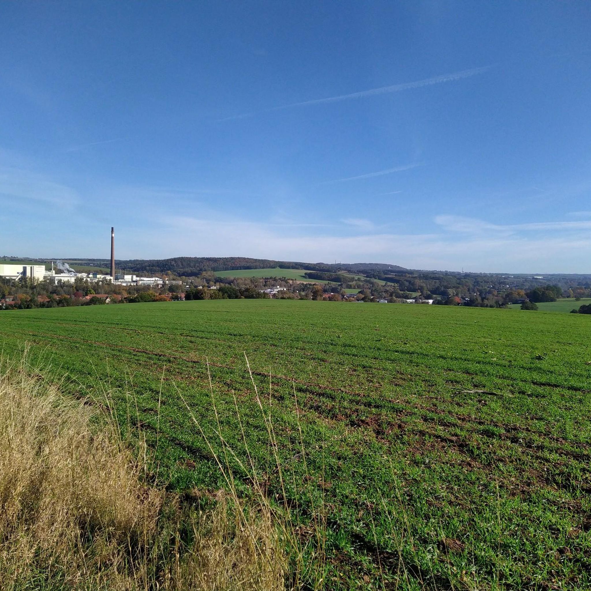
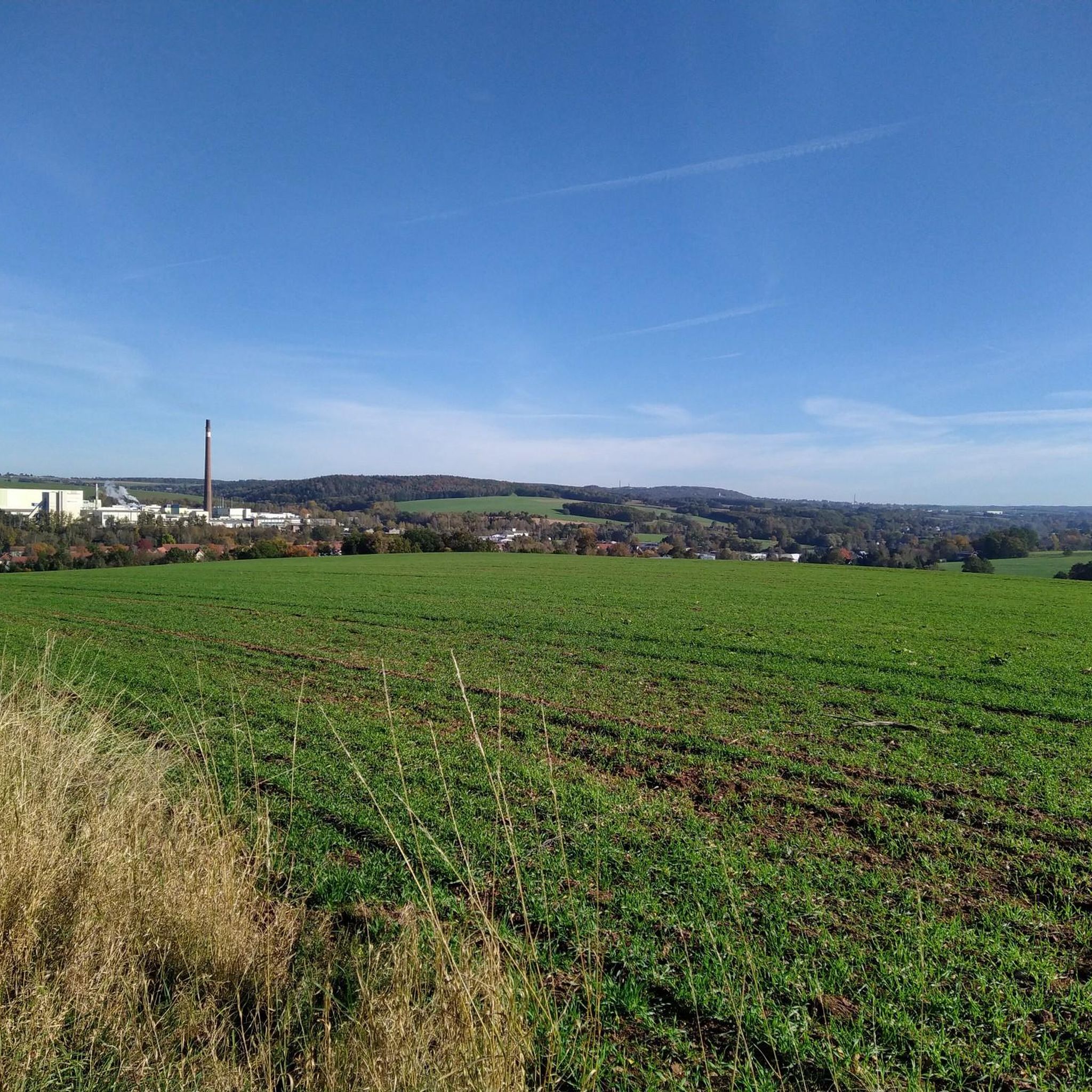
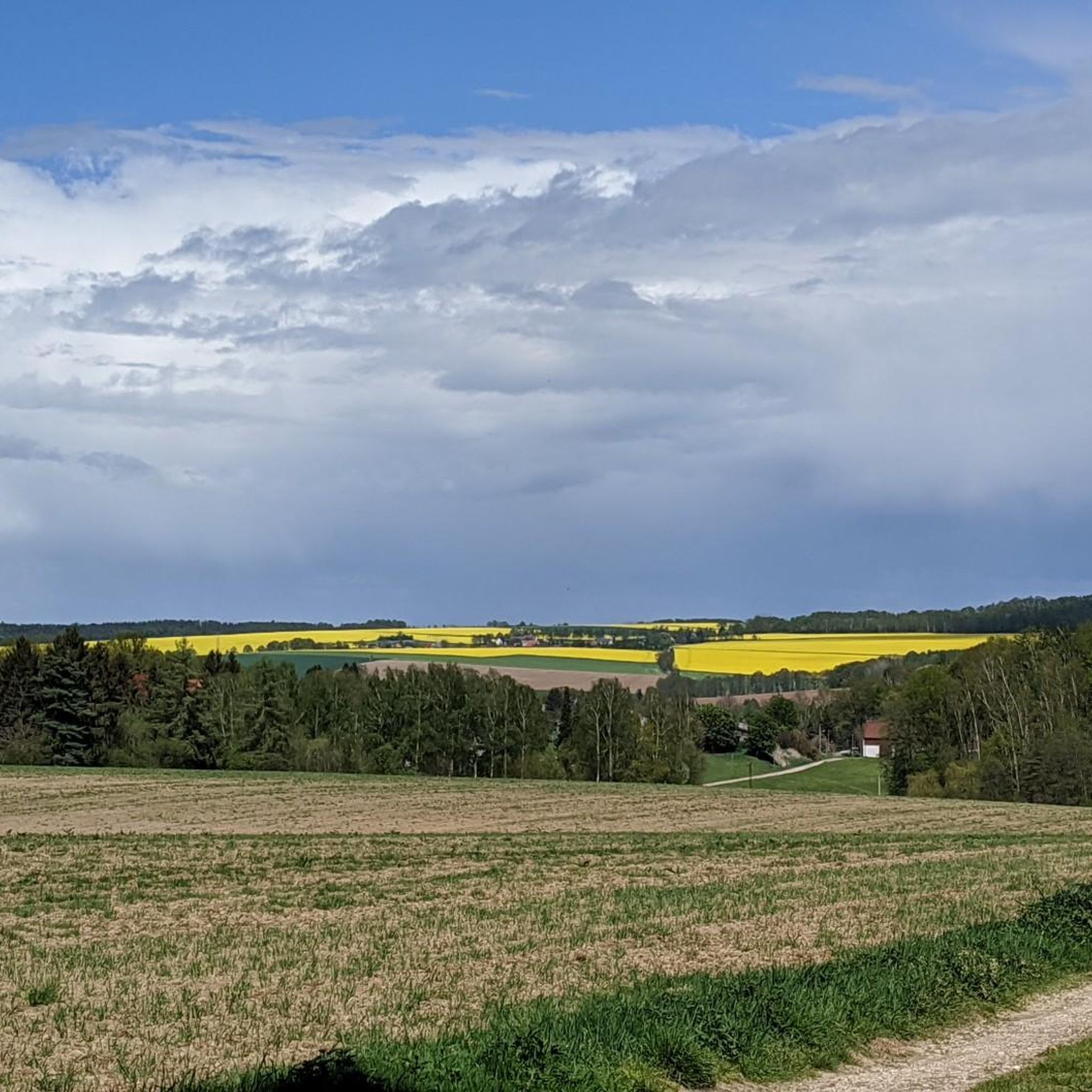

Tips from the Community

Luther Church Lichtenstein, in the old district of Callnberg. Information: A simple Baroque church. Foundation stone laid: June 14, 1770. Construction of the church: 1770–1796. Completion of the tower: 1796. Architecturally, historically, and architecturally significant.
1
0


beautiful path with panoramic views
0
0

The tower was completed six years after the church's consecration in 1796. Due to the very long construction period, the Luther Church was later also called the "Pfennigkirche" (penny church). The churches are open daily from April to October between 10 a.m. and 4 p.m. Source: https://kirche-lichtenstein.de/wp-content/uploads/2021/03/Lutherkirche.pdf
0
1

Reserve in advance, otherwise you won't get a spot
0
0

great corner, always worth a trip
0
1
great corner, always worth a trip
0
1
Frequently Asked Questions
How many running routes are available in St. Egidien?
St. Egidien offers an extensive network of over 560 running routes. These trails cater to various fitness levels, including easy, moderate, and difficult options, ensuring there's a suitable path for every runner.
Are there easy running routes suitable for beginners or families in St. Egidien?
Yes, St. Egidien has numerous easy running routes perfect for beginners or families. There are 63 routes specifically graded as easy. For a pleasant, shorter run, consider the Rümpfwald Trail – Hexenteich loop from Korneliuseiche, which is 4.7 km long and takes about 30 minutes.
What kind of landscapes can I expect while jogging in St. Egidien?
Jogging in St. Egidien offers a diverse range of landscapes. The region is situated at the transition from the Saxon Granulite Mountains to the Ore Mountains foreland, providing varied terrain with gentle inclines and declines. You'll encounter forests, open areas, and scenic routes alongside water bodies like the Lungwitzbach stream and the Talsperre St. Egidien.
Are there any running routes with scenic viewpoints or landmarks in St. Egidien?
Absolutely. Many routes offer scenic views and pass by interesting landmarks. For example, the Reichenbacher Höhe Viewpoint – Oberwald Reservoir loop from Enteninsel provides scenic views towards the Oberwald Reservoir. You can also explore areas with highlights such as the Maria Josepha Tower (Totenstein) Observation Tower or the Leuchtmoos Cave at Totenstein, which are part of the broader natural attractions in the region.
What do other runners say about the trails in St. Egidien?
The running trails in St. Egidien are highly regarded by the komoot community, boasting an average rating of 4.5 stars from over 600 reviews. Runners frequently praise the diverse landscapes, well-maintained paths, and the variety of routes suitable for different skill levels.
Are there circular running routes available in St. Egidien?
Yes, many of the running routes in St. Egidien are circular, offering convenient start and end points. Examples include the popular Rümpfwald Trail – Rümpfwald loop from Korneliuseiche and the Forest Path Wildschweinringen – Twin Beech loop from St. Egidien, both providing engaging loops through forested areas.
Can I find running routes that are dog-friendly in St. Egidien?
While specific dog-friendly designations aren't always listed, the extensive network of natural trails and forest paths in St. Egidien generally welcomes dogs, provided they are kept on a leash and owners adhere to local regulations. The varied terrain and natural environment are ideal for running with your canine companion.
What is the typical length and duration of jogging routes in St. Egidien?
Running routes in St. Egidien vary significantly in length and duration. You can find shorter paths like the 4.7 km Rümpfwald Trail – Hexenteich loop, which takes about 30 minutes, up to longer trails such as the 10.1 km Luther Church Lichtenstein – View of Zwickau loop, typically completed in over an hour. The average route length is around 8-9 km.
Are there any natural monuments or water features to see along the running trails?
Yes, St. Egidien's natural environment includes several notable features. The Lungwitzbach stream flows through the area, and its tributary feeds the Talsperre St. Egidien (St. Egidien Dam), offering scenic routes alongside water. You might also encounter natural monuments like the Karl May cave with rest area or the West shore of the Glauchau Reservoir.
Is there parking available near the running trails in St. Egidien?
Many trailheads and popular starting points for running routes in St. Egidien offer parking facilities. Given the region's focus on outdoor activities, you'll generally find convenient parking options near the access points to the extensive trail network.
What is the best time of year for jogging in St. Egidien?
St. Egidien is suitable for jogging throughout much of the year. Spring and autumn offer pleasant temperatures and beautiful scenery with changing foliage. Summer is also great, especially for shaded forest trails. While winter jogging is possible, be mindful of potential snow and ice conditions on trails, particularly in higher elevations.
Most popular routes around St. Egidien
Most popular attractions around St. Egidien

Get inspired with the komoot mobile app


Explore more
Browse the best Running Trails & Routes in other regions.
