The best running trails around Saint-Jeures
4.3
(18)
698
runners
15
runs
Jogging routes around Saint-Jeures offer diverse terrain in the Haute-Loire department of south-central France. The region is characterized by its mountainous landscape, including ancient volcanic peaks known as "sucs," which provide varied inclines and descents. Extensive woodlands and the presence of the Lignon du Velay river contribute to a natural setting for running. This area, situated at an altitude of 1,050 meters, features a mix of paved surfaces and challenging trails.
Best jogging routes around Saint-Jeures
- The most popular jogging…
Last updated: June 29, 2026
10
runners
8.91km
00:59
200m
200m
Moderate run. Good fitness required. Mostly paved surfaces. Suitable for all skill levels.
8
runners
7.41km
00:49
170m
170m
Moderate run. Good fitness required. Mostly paved surfaces. Suitable for all skill levels.

Sign up for free
9
runners
18.0km
02:06
490m
490m
Hard run. Very good fitness required. Mostly paved surfaces. Suitable for all skill levels.
4
runners
6.89km
00:45
140m
140m
Moderate run. Good fitness required. Mostly paved surfaces. Suitable for all skill levels.
4
runners
5.67km
00:37
100m
100m
Moderate run. Good fitness required. Mostly paved surfaces. Suitable for all skill levels.
Get access to more routes and recommendations from other explorers.
Sign up for free
Already have an account?
Our route recommendations are based on thousands of hikes, rides, and runs completed by other people on komoot.
Start today with a free account
Your next adventure awaits.
Login or Signup

Tips from the Community

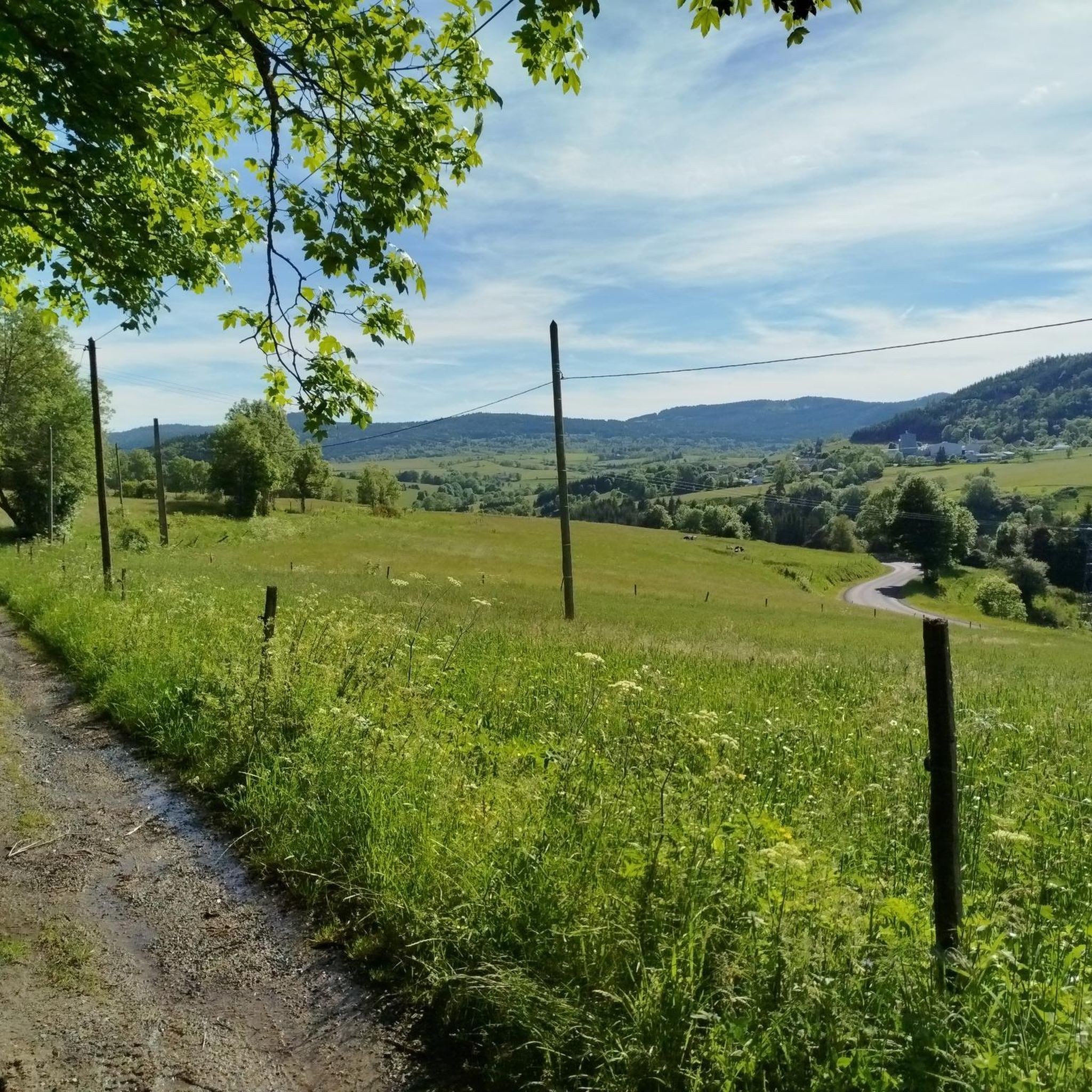
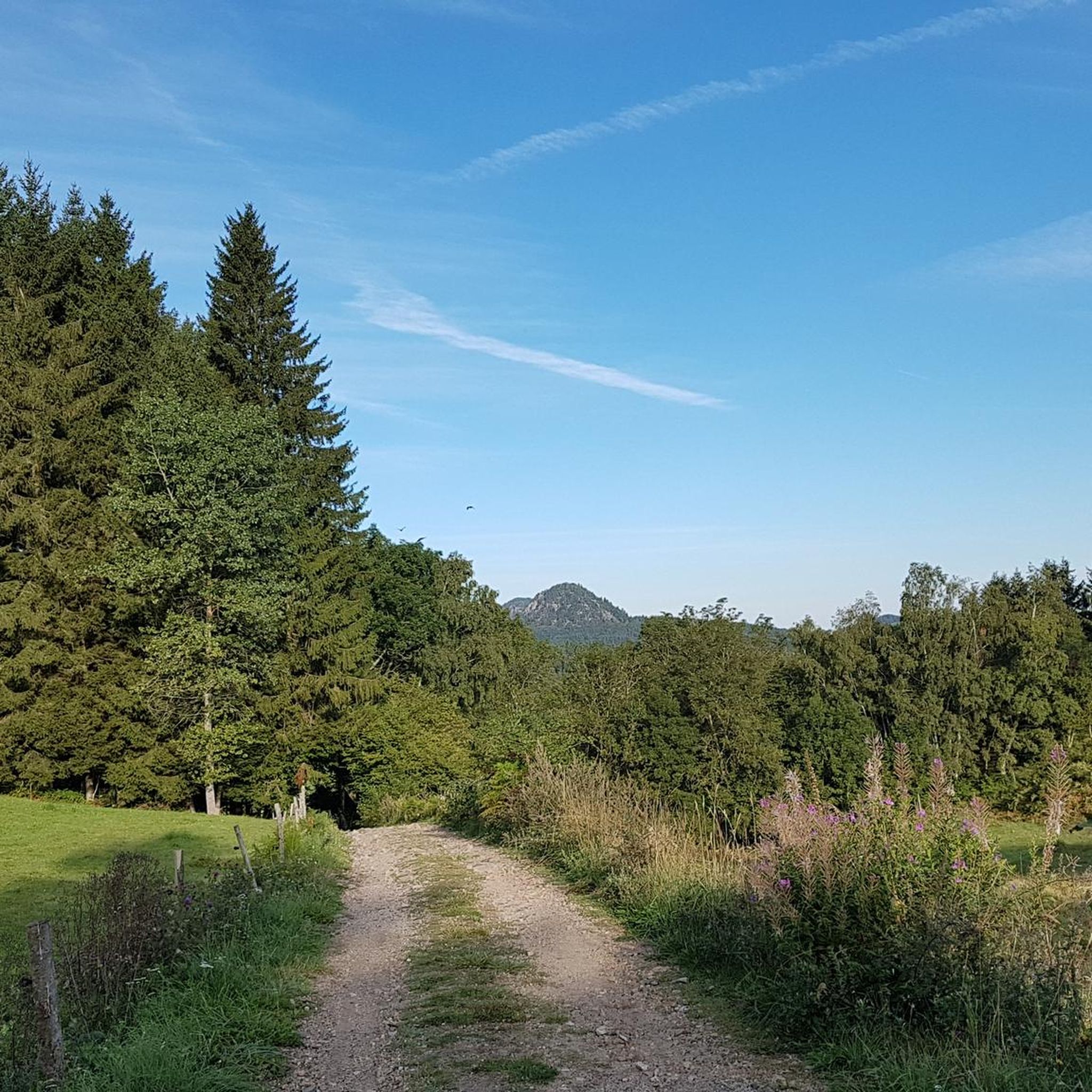
The Lizieux peak to the east of the Meygal massif offers a beautiful view of Mont Mézenc.
1
0
Frequently Asked Questions
How many running routes are available around Saint-Jeures?
Komoot offers 15 diverse running routes around Saint-Jeures. These routes cater to various preferences, from leisurely jogs to more challenging trail runs through the region's volcanic landscape.
What kind of terrain can I expect on the jogging trails in Saint-Jeures?
The jogging trails in Saint-Jeures feature a varied terrain, characteristic of the Haute-Loire department. You'll encounter mountainous landscapes with inclines and descents, including ancient volcanic peaks known as "sucs." The routes offer a mix of paved surfaces, accessible paths, and more challenging trails through extensive woodlands and along the Lignon du Velay river.
Are there any easy running routes suitable for beginners or a relaxed jog?
Yes, Saint-Jeures offers routes suitable for beginners. While many routes are moderate, there are options for an easier pace. For example, the area provides accessible paths that allow for a more leisurely run through the natural settings.
Where can I find challenging running trails in Saint-Jeures?
For those seeking a challenge, the mountainous terrain around Saint-Jeures, particularly near the "Pays des Sucs" and the Massif du Meygal, offers strenuous runs. The Lizieux Peak loop from Les Moulins is a difficult 11.2-mile (18.0 km) trail that leads through the scenic volcanic landscape around Pic du Lizieux, providing significant elevation changes.
Are there any circular running routes around Saint-Jeures?
Yes, many of the running routes in Saint-Jeures are circular, offering convenient starting and ending points. Popular options include the Running loop from Saint-Jeures and the Menhir de Saint-Jeures loop from Saint-Jeures, both of which provide varied terrain around the village and local paths.
What are some scenic viewpoints or natural attractions I can see while running?
The region is rich in natural beauty. You can enjoy panoramic views from volcanic peaks like the Suc du Mounier and Pic du Lizieux. Highlights include the View of the Sucs along the Via Fluvia and the View from Weiler Raffy. The Himalayan footbridge at Gorges du Lignon is another notable attraction.
Are there any historical landmarks or points of interest along the running trails?
Yes, you can discover charming historical elements during your run. The Croix de Couvet is a historical cross that dots the landscape, and the village itself features picturesque streets, a fountain, and a dovecote. The Menhir de Saint-Jeures loop from Saint-Jeures specifically passes by the historic Menhir de Saint-Jeures.
What do other runners say about the trails in Saint-Jeures?
The running routes in Saint-Jeures are highly rated by the komoot community, with an average score of 4.4 stars from over 15 reviews. More than 600 runners have used komoot to explore the varied terrain, often praising the diverse landscapes and well-maintained paths.
Is there public transport access to the running trails in Saint-Jeures?
Saint-Jeures is a commune in a rural, mountainous region. While specific public transport links directly to trailheads might be limited, the village itself is a hub for several trails, including the Saint Régis (GR de Pays 430) and Saint Jacques de Compostelle (GR 65), which pass directly through it. It's advisable to check local transport schedules for connections to the village.
Are there options for longer distance running or trail running in the area?
Absolutely. Saint-Jeures is an excellent base for longer distance running. Two significant long-distance hiking trails, the Saint Régis (GR de Pays 430) and the Saint Jacques de Compostelle (GR 65), pass directly through the village, offering extensive, well-marked paths for extended runs. The Lizieux Peak loop from Les Moulins is also a substantial 11.2-mile (18.0 km) route.
Are the running routes in Saint-Jeures suitable for families?
Many of the trails around Saint-Jeures offer varied surfaces, from paved paths to more accessible routes, which can be suitable for families depending on their fitness level. For a more relaxed experience, consider the easier sections or shorter loops around the village. The nearby Lac de Lavalette also offers paths suitable for walks and runs.
Can I bring my dog on the running trails in Saint-Jeures?
Generally, many outdoor trails in France are dog-friendly, especially in natural areas like Saint-Jeures. Given the extensive woodlands and diverse trail network, it's likely that most routes are suitable for dogs, provided they are kept under control. Always check local signage for specific restrictions, especially in protected areas or near livestock.
Most popular routes around Saint-Jeures
Most popular attractions around Saint-Jeures

Get inspired with the komoot mobile app


Explore more
Browse the best Running Trails & Routes in other regions.
