The best running trails around Roßwein
4.6
(144)
1,337
runners
25
runs
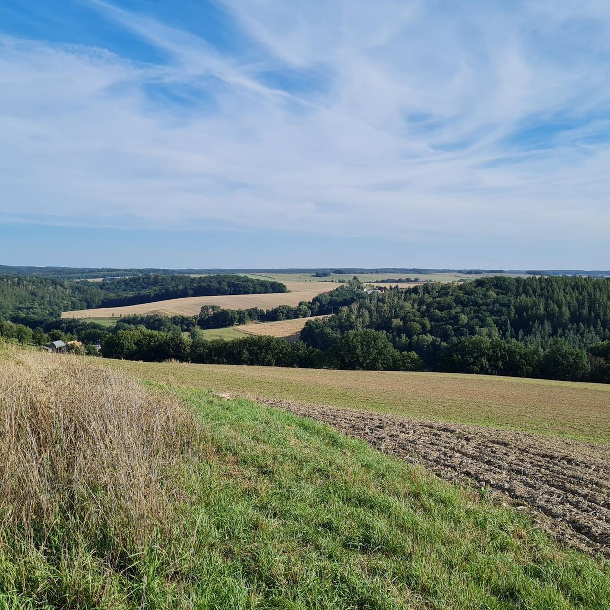
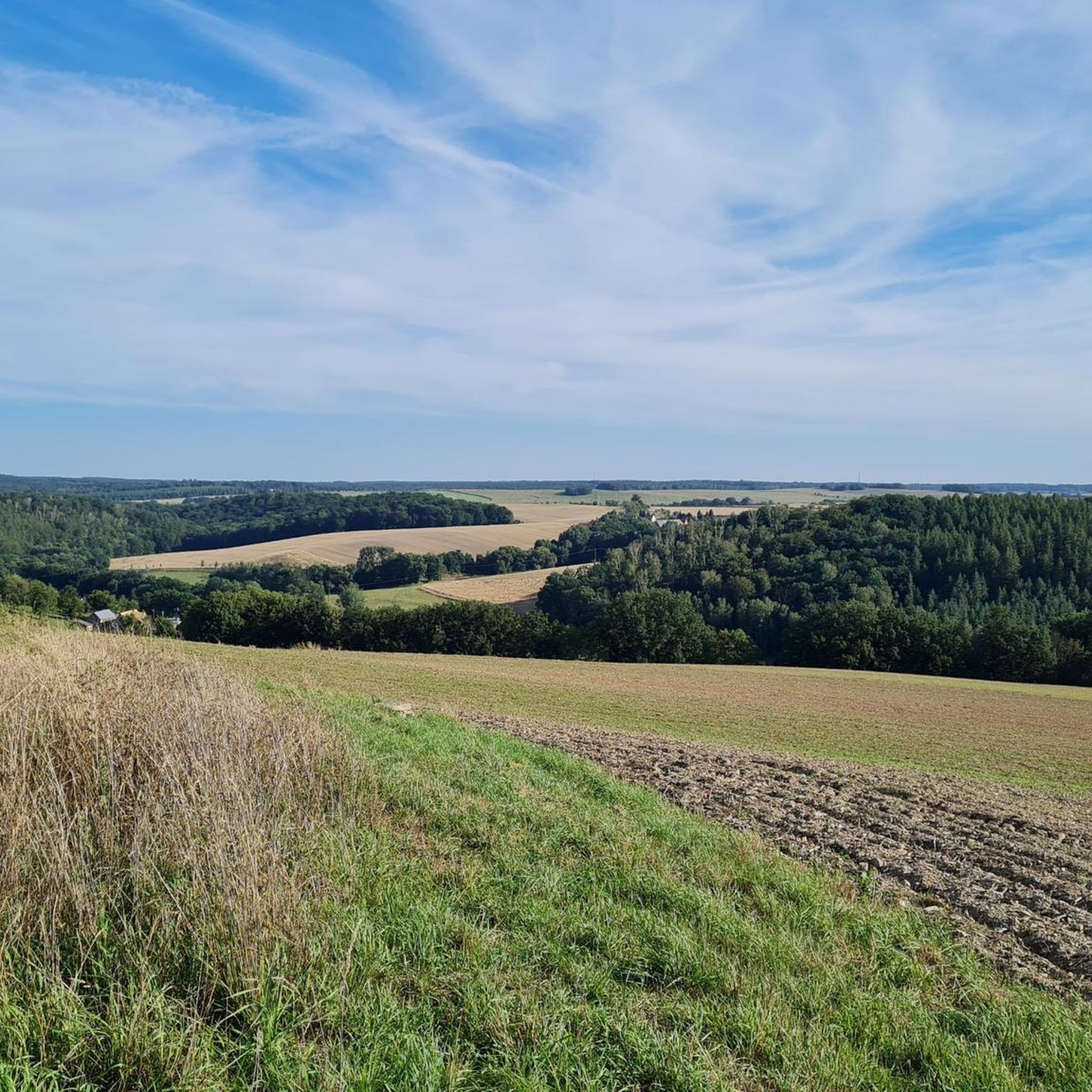
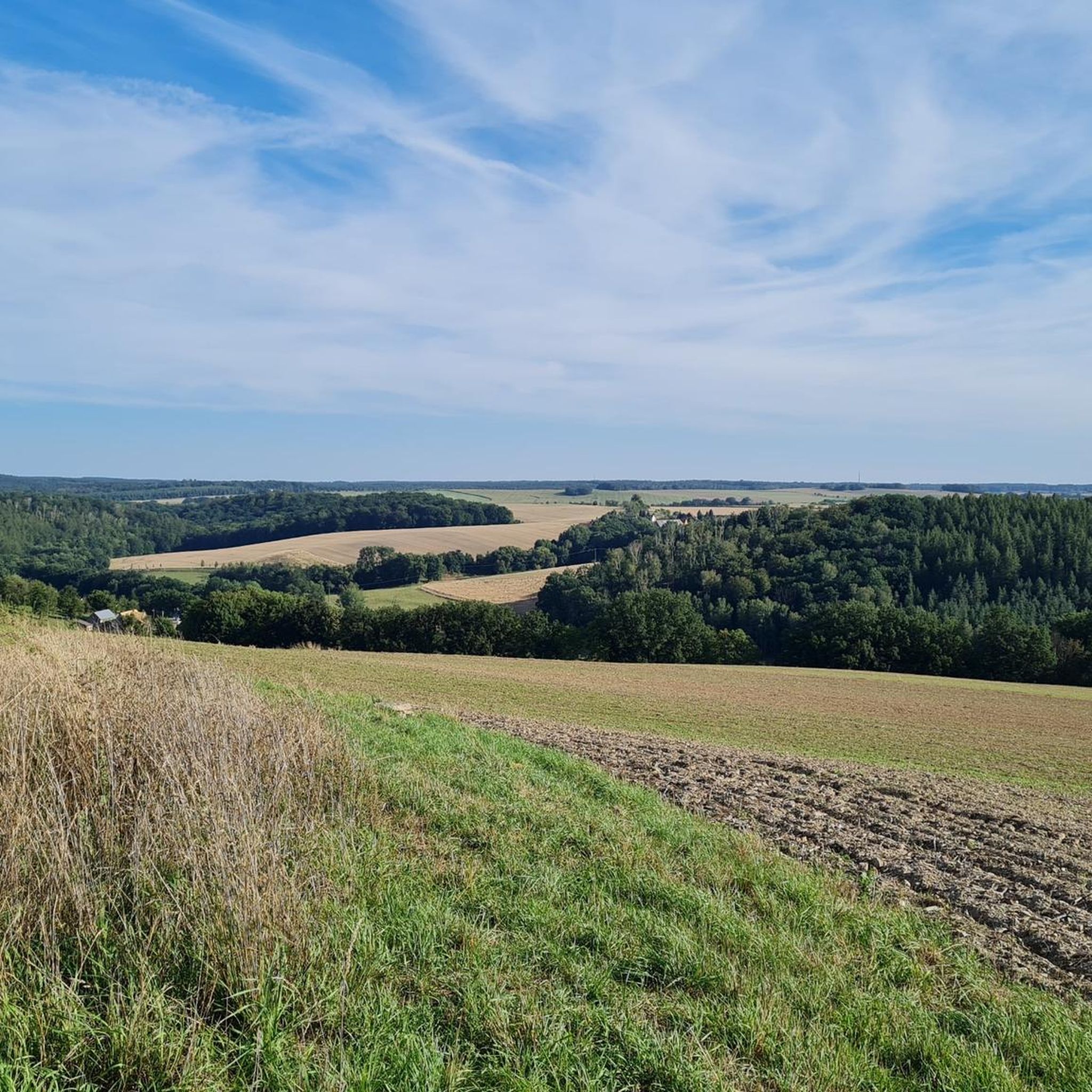
Jogging around Roßwein offers diverse natural landscapes, including rolling hills, expansive meadows, and dense forests. The region is characterized by the picturesque valley of the Freiberger Mulde river, which provides a serene backdrop for running. Its geographical location in the Saxon Upland provides varied ascents and surfaces for runners. This mix of terrain ensures options for various fitness levels, from mostly paved paths to more challenging trails.
Best jogging routes around Roßwein
- The most popular jogging route is Sheep Pond…
Last updated: October 11, 2026
5.0
(1)
18
runners
9.82km
01:05
110m
110m
Moderate run. Good fitness required. Mostly paved surfaces. Suitable for all skill levels.
16
runners
Moderate run. Good fitness required. Mostly paved surfaces. Suitable for all skill levels.

5.0
(2)
12
runners
9.43km
01:04
90m
90m
Moderate run. Good fitness required. Mostly paved surfaces. Suitable for all skill levels.
4.3
(3)
9
runners
Moderate run. Good fitness required. Mostly paved surfaces. Suitable for all skill levels.
5.0
(1)
10
runners
Hard run. Very good fitness required. Mostly paved surfaces. Suitable for all skill levels.
Get access to more routes and recommendations from other explorers.
Already have an account?
Our route recommendations are based on thousands of hikes, rides, and runs completed by other people on komoot.
Start today with a free account
Your next adventure awaits.

Other adventures around Roßwein

Tips from the Community

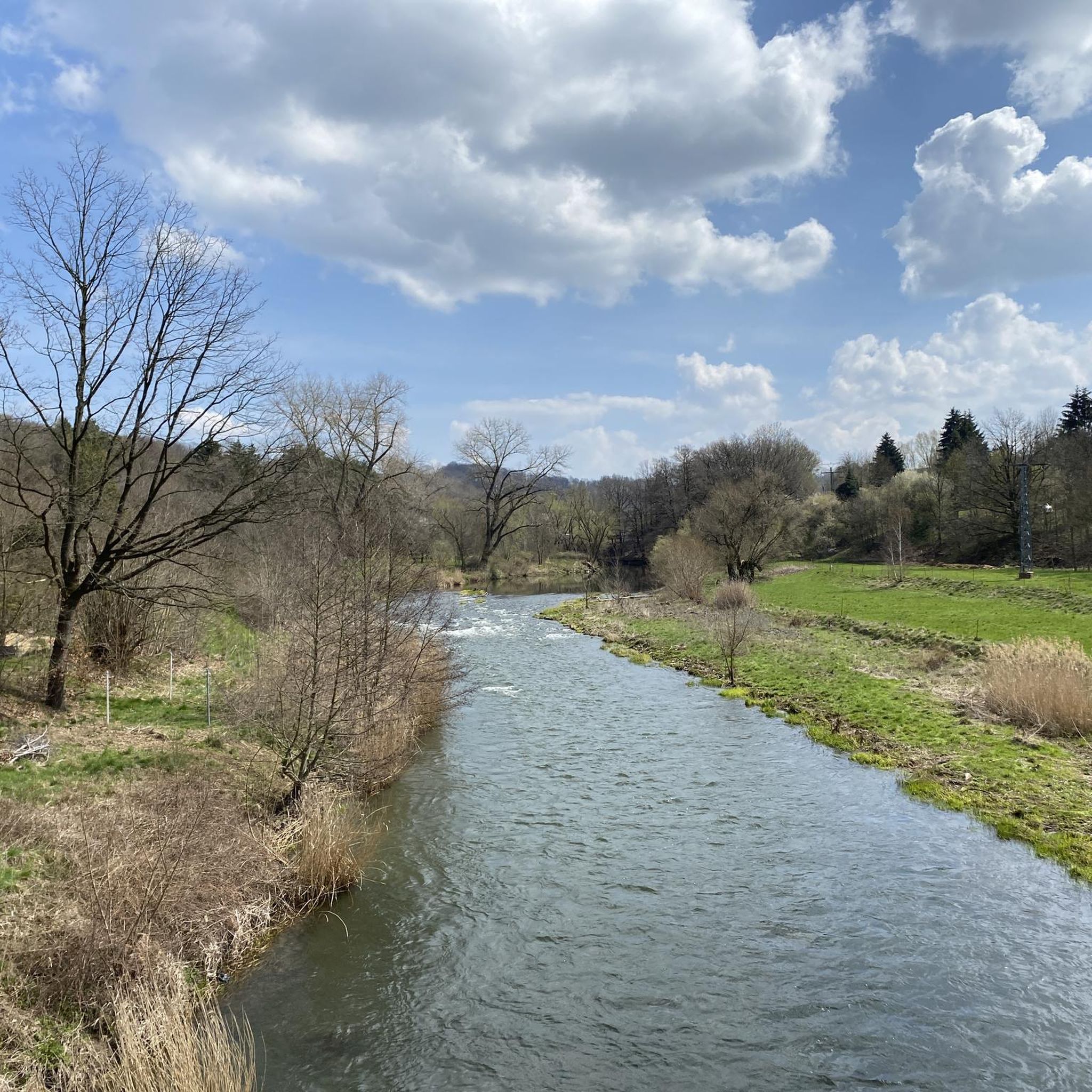
Where is the Wilde Weißeritz? It's the Freiberger Mulde!
0
1

One of 4 bridges crossing the Mulde in Roßwein, two of them not for cars
0
0

Small creative cupboard by the side of the road with nice little things.
0
0


The Protestant parish church of Niederstriegis was built in 1849-1950 in the style of Classicism.
0
0
The Schweizerhaus is a Swiss-style excursion restaurant influenced by Neo-Gothic architecture. It was built in 1856/57 by the diligent master builder Hoffmann from Döbeln. On the morning of May 24, 1857, the house was opened with great participation from the residents of Niederstriegis, Mahlitzsch, Otzdorf, Littdorf, Döbeln, and Roßwein. http://www.pension-schweizerhaus-doebeln.de
0
0


The hollow. Always beautiful.
4
0
Frequently Asked Questions
How many running routes are available in Roßwein?
Roßwein offers a diverse network of over 30 running routes, catering to various preferences and fitness levels. These include easy loops, moderate paths, and some more challenging trails.
What kind of terrain can I expect on the jogging routes around Roßwein?
The region around Roßwein features a varied terrain of rolling hills, expansive meadows, and dense forests. You'll find routes along the picturesque valley of the Freiberger Mulde river, offering a mix of mostly paved paths and more natural, challenging trails. This ensures options for different ascents and surfaces.
Are there running routes suitable for beginners in Roßwein?
Yes, Roßwein has several routes ideal for beginners. There are 4 easy running trails available, perfect for those looking for a less strenuous run. These routes often feature gentle ascents and more forgiving surfaces.
What do other runners say about the trails in Roßwein?
The running routes in Roßwein are highly rated by the komoot community, with an average score of 4.5 stars from over 140 reviews. Runners often praise the varied landscapes, the serene backdrop of the Freiberger Mulde, and the well-maintained paths suitable for different skill levels.
Are there any circular running routes in Roßwein?
Many of the running routes in Roßwein are designed as loops, offering convenient circular options. For example, the Fischers Teich loop from Niederstriegis is a popular moderate circular path, and the Schafteich – Burgruine Kempe loop from Kobelsdorf provides a longer, scenic circular run.
What is the best time of year for jogging in Roßwein?
Spring and summer are considered the best seasons to fully enjoy outdoor activities like jogging in Roßwein. The weather is generally pleasant, and the natural landscapes are at their most vibrant, making for a more enjoyable running experience.
Can I bring my dog on the running trails in Roßwein?
Generally, dogs are welcome on most outdoor trails in Roßwein, provided they are kept on a leash and you clean up after them. It's always a good idea to check local signage at trailheads for any specific restrictions or protected areas.
Are there any family-friendly running routes in Roßwein?
While specific 'family-friendly' designations aren't always given, the 4 easy routes available in Roßwein are typically suitable for families with children who enjoy running or walking. These routes tend to have gentler gradients and less challenging surfaces.
Are there any interesting landmarks or viewpoints along the running routes?
Yes, Roßwein's trails offer opportunities to see various points of interest. You might encounter historical sites like the Hainichen’s First Mining Site or enjoy scenic vistas from viewpoints such as Lutherhöhe Viewpoint. The region also features natural attractions like the over 200-year-old camellia in Wolfstal and the Kriebstein Dam nearby.
Are there any longer running trails for endurance training?
For longer runs, you can explore sections of the Mulde Valley Hiking Trail or the Mulde Cycle Path, which offer significant distances. The Schafteich – Burgruine Kempe loop from Kobelsdorf is also a good option, covering approximately 14.5 km (9.0 miles) through varied landscapes.
Where can I find parking for the running trails in Roßwein?
Parking availability varies by trailhead. Many routes, especially those starting from villages or specific attractions, will have designated parking areas. For instance, routes like the Zweiniger Grund – Inn "Zum Kaiserbach" loop from Oberranschütz typically have parking options near their starting points in the smaller communities.
Are there any running routes that follow the Freiberger Mulde river?
Absolutely. The Freiberger Mulde river winds through the region, creating romantic river landscapes. Sections of the Mulde Valley Hiking Trail and the Mulde Cycle Path run alongside the river, offering serene and picturesque routes. The Freiberger Mulde near Altzella – Nossen 1 Gauge Station loop from Gleisberg-Marbach is a great example of a route that explores the river valley.
Most popular routes around Roßwein
Most popular attractions around Roßwein

Get inspired with the komoot mobile app


Explore more
Browse the best Running Trails & Routes in other regions.
