The best walks and hikes around Saint-Julien-Sous-Les-Côtes
4.0
(70)
243
hikers
67
hikes
Hiking around Saint-Julien-Sous-Les-Côtes offers a diverse landscape characterized by the rolling terrain of the Parc Naturel Régional de Lorraine. The region features a mix of woodlands, river valleys along the Canal de Meuse, and historical sites, including remnants from the First World War. These varied environments provide a range of hiking experiences, from gentle riverside paths to routes with moderate elevation changes.
Best hiking trails around Saint-Julien-Sous-Les-Côtes
- The most popular hiking route is La croix des Redoutes and the trenches…
Last updated: August 29, 2026
4.2
(9)
22
hikers
Moderate hike. Good fitness required. Easily-accessible paths. Suitable for all skill levels.
4.3
(3)
10
hikers
19.5km
05:22
310m
310m
Hard hike. Very good fitness required. Easily-accessible paths. Suitable for all skill levels.

Sign up for free
4.0
(8)
13
hikers
6.90km
01:44
10m
10m
Easy hike. Great for any fitness level. Easily-accessible paths. Suitable for all skill levels.
3.0
(1)
9
hikers
17.3km
04:59
430m
430m
Moderate hike. Good fitness required. Easily-accessible paths. Suitable for all skill levels.
4.5
(2)
6
hikers
10.3km
02:53
200m
200m
Moderate hike. Good fitness required. Easily-accessible paths. Suitable for all skill levels.
Get access to more routes and recommendations from other explorers.
Sign up for free
Already have an account?
Our route recommendations are based on thousands of hikes, rides, and runs completed by other people on komoot.
Start today with a free account
Your next adventure awaits.
Login or Signup



Tips from the Community

Very long front lines of trenches; today only a few remnants remain.
1
0
It's impressive how many kilometers of trenches there were in the forest. The war in the trenches was very strenuous, and many soldiers fought until they were exhausted.
1
0
Very long front lines of trenches; today, the forest has grown back on the other side. During the war, not a single tree remained. It was very impressive how many kilometers of trenches there were in the forest, with shell holes every few meters.
2
0
Monument in the immediate vicinity of the shooting graves "Tranche de la soif" in memory of the fallen.
2
0
Monument in the immediate vicinity of the shooting graves "Tranche de la soif" in memory of the fallen.
2
0
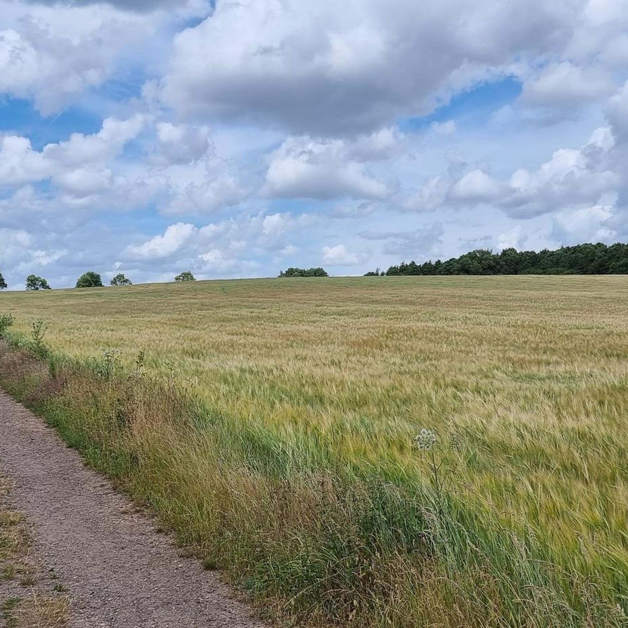
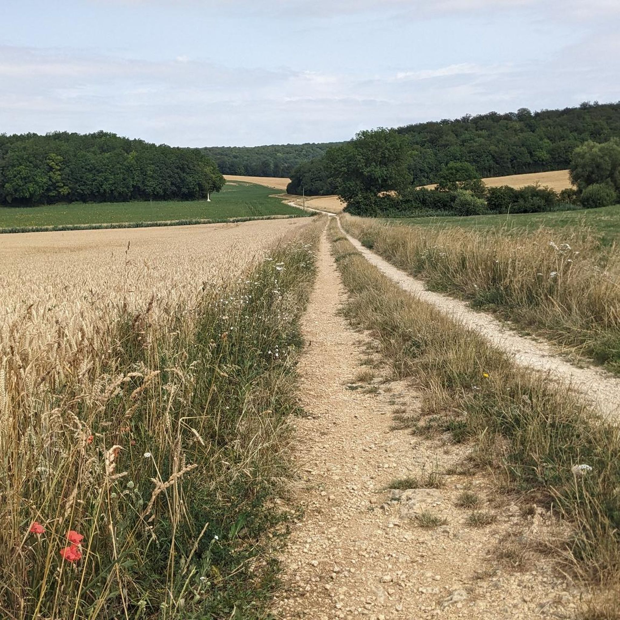
The picturesque landscape invites you to unwind and escape the stresses of everyday life. Along the canal, you can fully experience the peace and quiet of the surroundings. The fresh air and beautiful views contribute to an unforgettable experience. This walk is a perfect way to recharge your batteries and rejuvenate your soul.
0
0
The picturesque landscape invites you to relax and escape the stress of everyday life.
2
0

Founded around 708 by Count Wulfoalde, this Benedictine abbey became an important religious and cultural centre in Lorraine. The abbey was under the protection of Charlemagne and flourished under Abbot Smaragdus in the 9th century. Today, you can still visit the abbey church of Saint-Michel, home to the masterpiece La Pâmoison de la Vierge by Ligier Richier. The 18th-century monastery library houses thousands of ancient works and is one of the most beautiful in the region.
7
0
Frequently Asked Questions
How many hiking trails are available around Saint-Julien-Sous-Les-Côtes?
There are over 40 hiking trails around Saint-Julien-Sous-Les-Côtes, offering a variety of experiences within the Parc Naturel Régional de Lorraine. These include easy riverside strolls and more challenging routes through woodlands and historical sites.
Are there easy hiking trails suitable for beginners or families in Saint-Julien-Sous-Les-Côtes?
Yes, Saint-Julien-Sous-Les-Côtes offers 19 easy hiking trails. A great option for a relaxed walk is Along the Canal de Meuse. – Aux Taises Riverbank loop from Mécrin, which follows tranquil riverbanks and is relatively flat. Another easy choice is the Lavoir des Dames. – Aux Taises Riverbank loop from Sampigny.
What kind of historical sites can I explore on hikes in this region?
The region is rich in history, particularly related to the First World War. You can explore remnants like trenches and memorials. For example, the La croix des Redoutes and the trenches of the First World War — loop from Apremont-le-Forêt takes you through historical trenches. You can also visit the Montsec American Memorial or the Trench of Thirst and Ailly Wood.
Are there any circular walks available in Saint-Julien-Sous-Les-Côtes?
Yes, many of the trails in the area are circular, allowing you to start and end at the same point. Examples include the moderate La croix des Redoutes and the trenches of the First World War — loop from Apremont-le-Forêt, or the easy Along the Canal de Meuse. – Aux Taises Riverbank loop from Mécrin.
What do other hikers enjoy most about hiking in Saint-Julien-Sous-Les-Côtes?
The hiking trails around Saint-Julien-Sous-Les-Côtes are highly rated by the komoot community, with an average score of 4.2 stars from over 40 reviews. Hikers often praise the diverse landscape, which includes peaceful river valleys along the Canal de Meuse, natural park woodlands, and the unique historical context of the First World War sites.
Are there any challenging routes for experienced hikers?
Yes, for experienced hikers seeking a challenge, there are 3 difficult routes available. One such route is the Shelter – German trench loop from Apremont-la-Forêt, which covers a longer distance and features more significant elevation changes.
What kind of natural scenery can I expect on the trails?
The region is part of the Parc Naturel Régional de Lorraine, offering a mix of natural scenery. You'll find extensive woodlands, tranquil river valleys along the Canal de Meuse, and rolling terrain. Many routes provide a blend of these environments, often with historical elements integrated into the natural landscape.
Are there any notable landmarks or points of interest to visit near the hiking trails?
Absolutely. Beyond the trails themselves, you can visit several significant landmarks. These include the Montsec American Memorial, the Redoutes Cross Memorial, and the historic Saint-Mihiel Abbey Church. The town of Saint-Mihiel itself is also a point of interest.
What is the typical duration for hikes in Saint-Julien-Sous-Les-Côtes?
Hike durations vary widely depending on the route's length and difficulty. Easy riverbank strolls, like the Along the Canal de Meuse. – Aux Taises Riverbank loop from Mécrin, can take around 1 hour 45 minutes. Moderate routes, such as La croix des Redoutes and the trenches of the First World War — loop from Apremont-le-Forêt, typically take about 2 hours 30 minutes, while more difficult trails can extend to 5 hours or more.
Can I find trails that combine natural beauty with cultural or historical exploration?
Yes, many trails in Saint-Julien-Sous-Les-Côtes offer this combination. For instance, the Concrete positions – Saint-Mihiel Abbey Church loop from Han-sur-Meuse allows you to explore historical sites while enjoying the surrounding natural landscape, culminating near the impressive Saint-Mihiel Abbey Church.
Are there any trails that follow the Canal de Meuse?
Yes, the Canal de Meuse is a prominent feature of the region, and several trails follow its banks. The Along the Canal de Meuse. – Aux Taises Riverbank loop from Mécrin is an excellent example, offering a flat and scenic walk along the tranquil river.
Most popular routes around Saint-Julien-Sous-Les-Côtes
Most popular attractions around Saint-Julien-Sous-Les-Côtes

Get inspired with the komoot mobile app


Explore more
Browse the best Hikes in other regions.
