The best running trails around Staudt
4.3
(740)
6,055
runners
479
runs
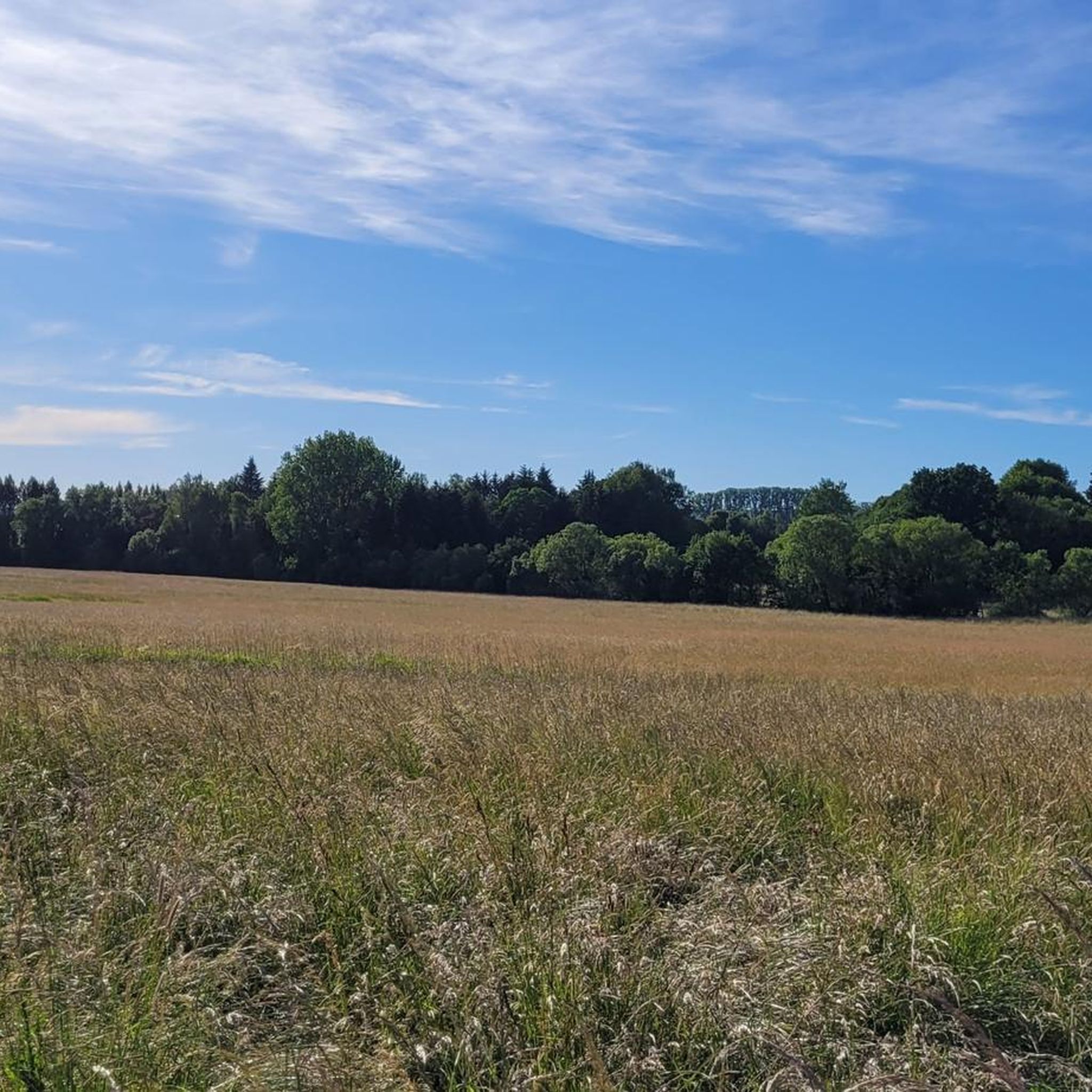
Jogging routes around Staudt offer diverse terrain within the scenic Westerwald region of Rhineland-Palatinate, Germany. The area features a mix of dense woods, lush meadows, and varied landscapes, providing a tranquil environment for running. Joggers can find paths ranging from easily accessible routes to more challenging trails with elevation changes. The region's natural beauty, including river valleys and forests, creates a scenic backdrop for outdoor exercise.
Best jogging routes around Staudt
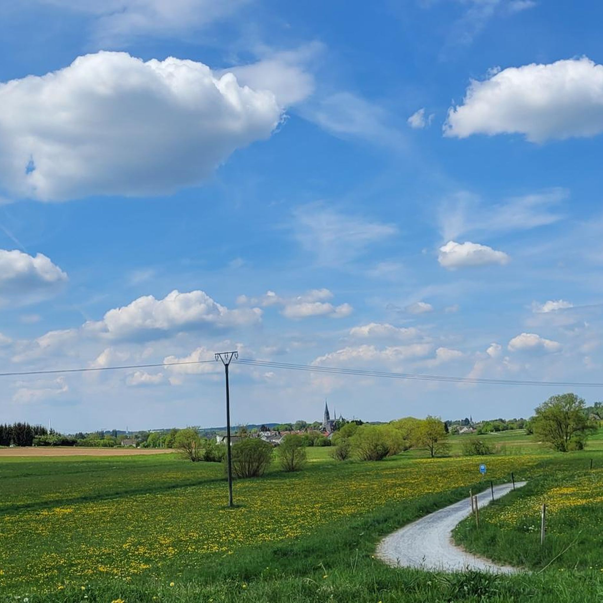
- The most popular jogging route is Sunflower Field –…
Last updated: October 3, 2026
25
runners
9.63km
01:01
80m
80m
Moderate run. Good fitness required. Mostly paved surfaces. Suitable for all skill levels.
5.0
(1)
25
runners
4.37km
00:27
10m
10m
Easy run. Great for any fitness level. Mostly paved surfaces. Suitable for all skill levels.

17
runners
18.1km
01:56
220m
220m
Hard run. Very good fitness required. Mostly paved surfaces. Suitable for all skill levels.
5.0
(3)
13
runners
11.5km
01:13
120m
120m
Moderate run. Good fitness required. Mostly paved surfaces. Suitable for all skill levels.
5.0
(1)
19
runners
12.2km
01:17
80m
80m
Moderate run. Good fitness required. Mostly paved surfaces. Suitable for all skill levels.
Get access to more routes and recommendations from other explorers.
Already have an account?
Our route recommendations are based on thousands of hikes, rides, and runs completed by other people on komoot.
Start today with a free account
Your next adventure awaits.

Tips from the Community


The Ahrbach accompanies the route for large parts with its quiet splashing and creates a pleasantly relaxed atmosphere. Again and again, small view axes open up to the water, while the path winds in gentle curves through the riverside landscape.
5
0
The path follows the course of the small Eisenbach, offering a varied mix of shady forest sections and open areas along the water.
5
0
Westerwald Cathedral; always worth a stop!
0
1

Westerwälder House of St. Bonifatius
1
0


Cathedral town of Wirges, also great for playing table tennis I heard
1
2

Many rest areas along the way
0
0
Frequently Asked Questions
How many running routes are available around Staudt?
Staudt and its surroundings offer a comprehensive network of nearly 500 running routes. This includes a wide variety of trails, from easy paths to more challenging runs, ensuring options for all fitness levels.
Are there easy jogging paths suitable for beginners or families in Staudt?
Yes, Staudt has over 50 easy jogging routes perfect for beginners or a relaxed family run. An excellent option is the Sunflower Field loop from Staudt, which is an easy 4.4 km path with minimal elevation gain, providing accessible trails through open fields.
What kind of terrain can I expect on the running trails in Staudt?
The running trails around Staudt offer diverse terrain within the scenic Westerwald region. You'll find a mix of dense woods, lush meadows, and varied landscapes. Paths range from easily accessible and well-maintained surfaces to more challenging routes with significant elevation changes, providing a tranquil and engaging environment for your run.
Are there any running routes with scenic viewpoints in the Staudt area?
Absolutely! Many routes in the region offer engaging vistas. For example, the Sunflower Field – View of Malberg loop from Staudt provides excellent views towards Malberg. You can also find highlights like the Köppel Observation Tower and View of Malberg, which are accessible from various trails.
Can I find circular running routes around Staudt?
Yes, the majority of running routes in Staudt are circular, making them convenient for starting and ending your run at the same point. Examples include the popular Sunflower Field – View of Malberg loop from Staudt and the Westerwald Cycle Path – Sunflower Field loop from Staudt.
What do other runners say about the trails in Staudt?
The running routes in Staudt are highly rated by the komoot community, with an average score of 4.4 stars from over 600 reviews. More than 5,000 runners have explored Staudt's varied terrain, often praising the natural beauty, well-maintained paths, and the diversity of options available.
Are there any longer, more challenging running trails for experienced runners?
Yes, for experienced runners seeking a challenge, there are over 50 difficult routes available. An example is the Eisenbach Stream Trail – Bridge Over the Ahrbach loop from Montabaur, an 18.1 km route with significant elevation gain, requiring good fitness.
What are some interesting landmarks or attractions to see while running near Staudt?
While running near Staudt, you can encounter several interesting landmarks. Notable points include the Köppel Observation Tower, offering panoramic views, and the Malberg summit and Wildweiberhäuschen (“Wild Women’s Hut”) rock formation. These highlights add cultural and scenic interest to your run.
Is Staudt a good place for trail running in winter?
The Westerwald region, where Staudt is located, offers beautiful landscapes year-round. While specific winter conditions can vary, the extensive trail network means many paths are suitable for winter running, especially those that are well-maintained. Always check local weather conditions and trail reports before heading out in winter.
Are there any running routes that are particularly suitable for dogs?
Many of the natural trails through forests and meadows around Staudt are suitable for running with dogs, provided they are kept on a leash where required. The tranquil environment and varied terrain offer a great experience for both you and your canine companion. Always ensure your dog is well-behaved and that you clean up after them.
How long do the running routes in Staudt typically take to complete?
The duration of running routes in Staudt varies significantly depending on the distance and difficulty. Easy routes like the 4.4 km Sunflower Field loop from Staudt can take around 30 minutes, while moderate routes such as the 9.6 km Sunflower Field – View of Malberg loop from Staudt typically take about an hour. Longer, more difficult trails can extend to several hours.
Are there any running routes that incorporate parts of the WesterwaldSteig?
Yes, Staudt's proximity to the WesterwaldSteig, a certified long-distance hiking trail, means that some local running routes may intersect with or run parallel to sections of this renowned path. This provides opportunities to experience the diverse natural beauty and well-maintained trails of the broader Westerwald region during your run.
Most popular attractions around Staudt

Get inspired with the komoot mobile app


Explore more
Browse the best Running Trails & Routes in other regions.
