The best cycling routes around Vermandovillers
4.4
(149)
750
riders
55
rides
Touring cycling routes around Vermandovillers are situated within the Somme region of Northern France, characterized by serene river valleys and a generally flat to undulating terrain. The area features extensive cycling networks, often following the calm course of the Somme River. Cyclists can expect quiet back roads and dedicated paths, passing through marshes, lakes, and historical sites. The landscape provides accessible routes suitable for various fitness levels.
Best touring cycling routes around Vermandovillers
- The most popular touring cycling route is…
Last updated: July 2, 2026
4.8
(22)
165
riders
121km
07:27
380m
380m
Hard bike ride. Very good fitness required. Mostly paved surfaces. Suitable for all skill levels.
4.6
(11)
73
riders
Moderate bike ride. Good fitness required. Mostly paved surfaces. Suitable for all skill levels.

Sign up for free
3.0
(1)
7
riders
Moderate bike ride. Good fitness required. Mostly paved surfaces. Suitable for all skill levels.
7
riders
54.7km
04:19
450m
450m
Moderate bike ride. Good fitness required. Mostly paved surfaces. Suitable for all skill levels.
3
riders
Moderate bike ride. Good fitness required. Mostly paved surfaces. Suitable for all skill levels.
Get access to more routes and recommendations from other explorers.
Sign up for free
Already have an account?
Our route recommendations are based on thousands of hikes, rides, and runs completed by other people on komoot.
Start today with a free account
Your next adventure awaits.
Login or Signup




Tips from the Community

The Somme 245 km is a river in Hauts-de-France (France). The old Gallic name of the river is "Samara", meaning "the calm one". It is the river from which the Somme department derives its name.
8
0
Welcome to Eclusier-Vaux, a municipality in the Somme with 85 inhabitants.
9
0
The castle served for centuries as a meeting place for the regional nobility and thinkers.
10
0
This lock also has a fish ladder / bypass.
14
0

A beautiful place for a walk in nature. The bike path is perfect.
0
0

Nice view of the ponds and the villa "Les étangs".
0
0

Well-developed cycle path next to the canal, great thing
0
0

There are several of these bridges - unfortunately I didn't see any of them in action.
0
0
Frequently Asked Questions
How many touring cycling routes are available around Vermandovillers?
There are over 50 touring cycling routes available around Vermandovillers, catering to various skill levels. These routes are highly rated by the komoot community, with an average score of 4.4 stars from over 150 reviews.
What kind of terrain can I expect on touring cycling routes in the Vermandovillers area?
The terrain around Vermandovillers is generally flat to undulating, making it accessible for various fitness levels. Many routes follow peaceful, comfortable cycle paths, often converted towpaths along the Somme River, providing a smooth riding experience.
Are there any challenging touring cycling routes near Vermandovillers?
Yes, for those seeking a challenge, the Canal de la Somme Cycle Path – Marais des Bœufs loop from TGV Haute-Picardie is a difficult 74.7-mile (120.3 km) route. It follows the Canal de la Somme and passes through the Marais des Bœufs, offering a longer and more demanding ride.
What natural features can I expect to see while cycling in the Somme Valley near Vermandovillers?
The Somme Valley is rich in natural beauty. You'll encounter serene river valleys, marshes, and lakes. Notable areas include the marshes of Méricourt-sur-Somme, the Barette ponds in Corbie, and the Cavins marsh in Bourdon, which are excellent for observing local flora and fauna. The Canal du Nord and the Canal de la Somme Cycle Path are prominent features.
Are there any historical landmarks or points of interest along the cycling routes?
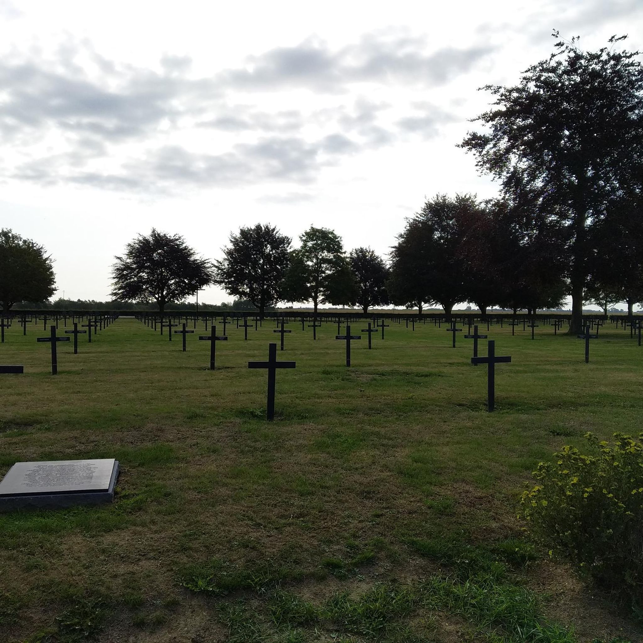
Yes, the Somme region is steeped in history, particularly from World War I. While cycling, you might pass by sites like the German Military Cemetery in Vermandovillers. Routes also offer views of historical structures such as the Château d'Happlincourt, and the Canal de la Somme Cycle Path – Château de Suzanne loop from Terminus de Dompierre specifically passes by the historic Château de Suzanne.
Are there family-friendly cycling options around Vermandovillers?
Yes, many of the routes in the Somme Valley are along dedicated cycle paths and converted towpaths, offering gentle terrain suitable for families. The overall network includes 18 easy routes, providing comfortable and safe options for cyclists of all ages and abilities.
Can I find circular cycling routes in the Vermandovillers area?
Yes, many routes are designed as loops, allowing you to start and end at the same point. Examples include the Froissy Lock – Towpath Along the Somme River loop from Terminus de Dompierre and the Bike loop from Rosières-en-Santerre, which offer convenient circular journeys through the scenic landscape.
What is the best season for touring cycling around Vermandovillers?
The gentle terrain and river valley setting make the Somme region enjoyable for cycling during spring, summer, and early autumn. These seasons typically offer pleasant weather conditions, allowing you to fully appreciate the natural beauty and historical sites without extreme temperatures.
Are there places to eat or stay near the cycling routes?
The Somme region is well-equipped for touring cyclists. Many establishments, including accommodation, restaurants, and cafes, hold the 'Accueil Vélo' label, indicating they offer bike-friendly amenities such as secure bicycle shelters and helpful information. Charming towns and villages along the routes provide opportunities for breaks and local cuisine.
How can I access the cycling routes, and is parking available?
The region is accessible by car, and many starting points for routes, such as those near Terminus de Dompierre or TGV Haute-Picardie, will have parking facilities. For more detailed information on specific access points and parking, it's advisable to check the individual route details on komoot or local tourist information.
What do other touring cyclists enjoy most about cycling in Vermandovillers?
The area is highly rated by the komoot community, with an average score of 4.4 stars. Reviewers often praise the serene river valleys, the well-maintained cycle paths, and the blend of natural beauty with historical significance. The accessibility of the routes for various fitness levels is also frequently highlighted.
Where can I find more information about the Somme Valley cycle route?
For comprehensive details about the broader Somme Valley cycle route, including its full 160 km length and amenities, you can visit the official tourism websites. The Somme Tourisme website and France Vélo Tourisme provide extensive information.
Most popular routes around Vermandovillers
Most popular attractions around Vermandovillers

Get inspired with the komoot mobile app


Explore more
Browse the best Cycling routes in other regions.
