The best walks and hikes around Beaurepaire
4.5
(4645)
25,336
hikers
245
hikes
Hiking around Beaurepaire offers diverse landscapes for outdoor enthusiasts. The region is characterized by varied terrain, including agricultural fields, dense woods, and valleys. Hikers can find routes that provide views of the Beaurepaire plain and surrounding areas. The network of hiking trails near Beaurepaire includes options ranging from easy walks through crops and woods to more challenging long-distance routes.
Best hiking trails in Beaurepaire
- The most popular hiking route is Gonneville-la-Mallet – Bois de Beaurepaire Trail loop from Gonneville-la-Mallet,…
Last updated: August 19, 2026
4.5
(15)
57
hikers
Moderate hike. Good fitness required. Easily-accessible paths. Suitable for all skill levels.
4.3
(9)
37
hikers
Moderate hike. Good fitness required. Easily-accessible paths. Suitable for all skill levels.

Sign up for free
4.3
(4)
30
hikers
Hard hike. Very good fitness required. Easily-accessible paths. Suitable for all skill levels.
4
hikers
11.8km
03:05
100m
100m
Moderate hike. Good fitness required. Easily-accessible paths. Suitable for all skill levels.
5.0
(2)
6
hikers
6.53km
01:45
80m
80m
Easy hike. Great for any fitness level. Easily-accessible paths. Suitable for all skill levels.
Get access to more routes and recommendations from other explorers.
Sign up for free
Already have an account?
Our route recommendations are based on thousands of hikes, rides, and runs completed by other people on komoot.
Start today with a free account
Your next adventure awaits.
Login or Signup


Tips from the Community

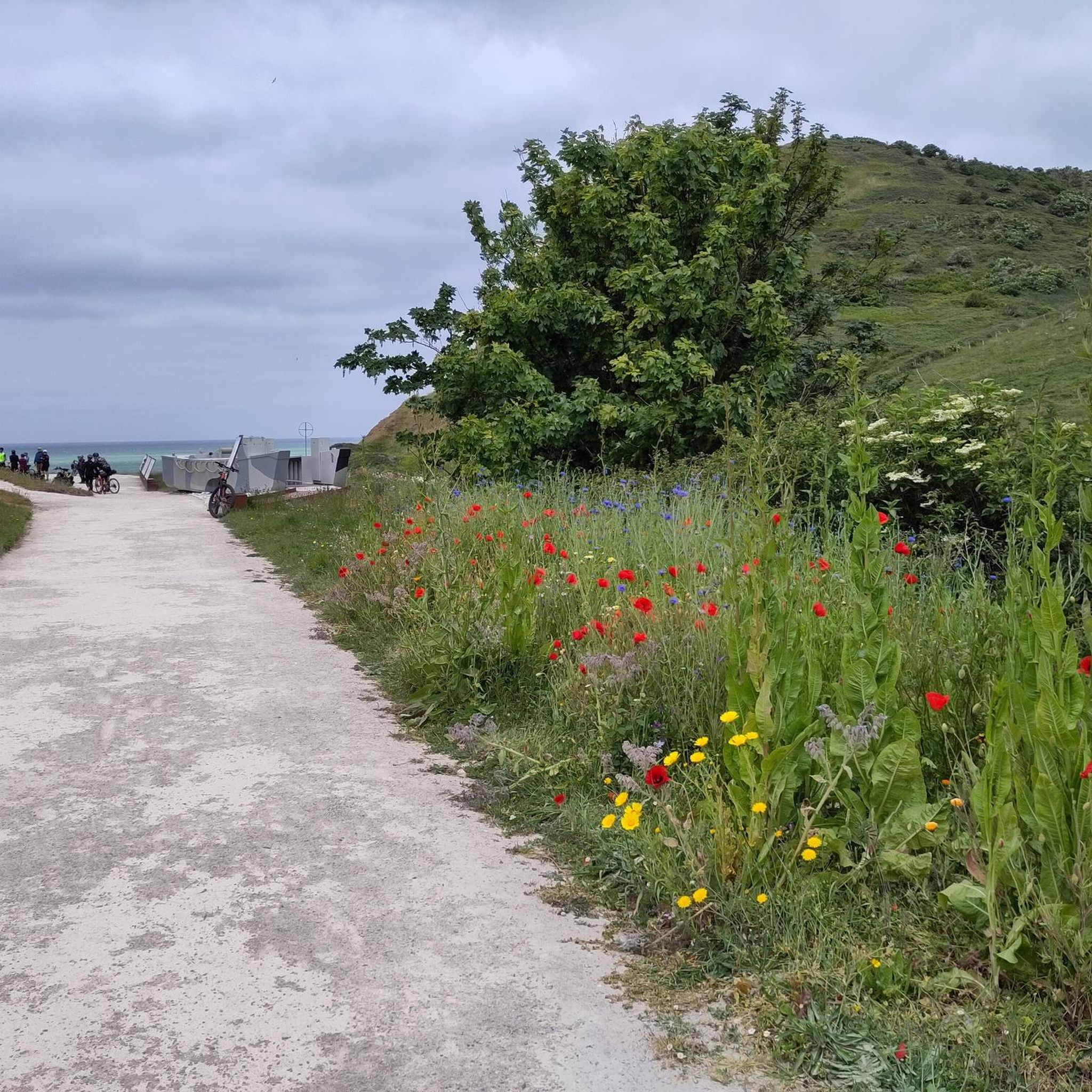
The cliffs are simply a dream. A highlight of a holiday in Normandy. I highly recommend a hike right along the cliffs. There's something for everyone, whether it's a short or long hike.
1
0

And again the many small, beautiful coastal houses
6
0

perfect for regaining strength, a small shaded corner with orientation table and information on regional heritage
0
0

Now I see salvation, the end of my journey. Seeing Etretat, this beach, and leaving again, it would be too sad.
0
0

You have a wonderful view from everywhere
1
0
You can see them on the main road towards the cliffs
2
0

The white cliffs of Étretat are a true pearl of Normandy and are a breathtaking sight. The striking D'Amont rock, rising majestically above the Atlantic, creates an impressive backdrop for every visitor. Whether relaxing on the beach or exploring the hiking trails along the cliffs, the natural beauty of this landscape is omnipresent. The pictures show the sweeping view over the turquoise sea breaking on the imposing cliff faces and the picturesque coastline with the small town in the background. A perfect place to unwind, enjoy the fresh sea breeze and be inspired by the power of nature.
2
0

The town of Étretat is small and doesn't offer any real highlights. However, this old market hall is very beautiful. Étretat lives on through its famous chalk cliffs and its sad World War II past.
6
0
Frequently Asked Questions
How many hiking trails are available around Beaurepaire?
There are over 240 hiking trails around Beaurepaire, offering a wide range of options for different skill levels. You'll find routes varying from easy walks to more challenging long-distance treks.
What kind of terrain can I expect on hikes near Beaurepaire?
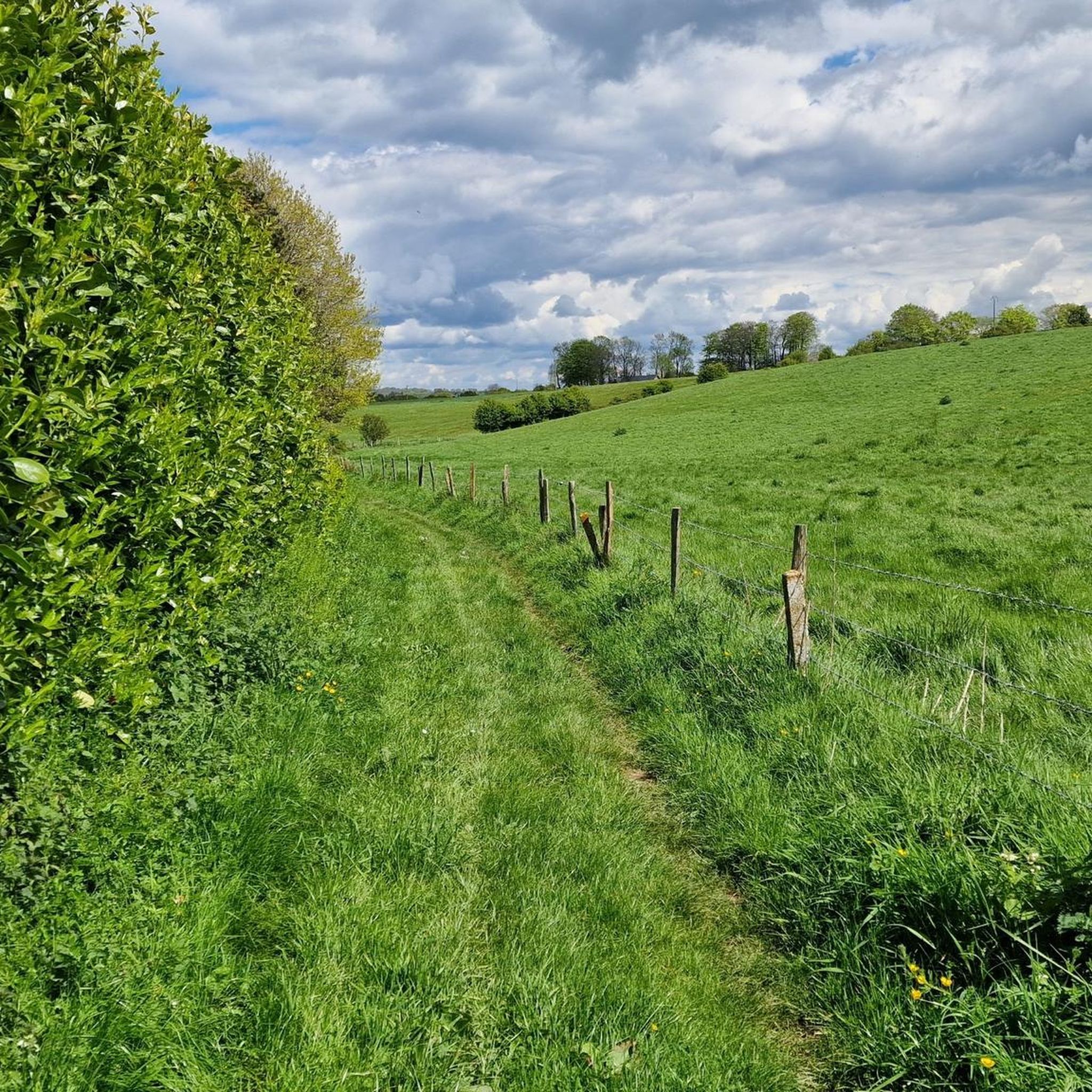
The region around Beaurepaire features diverse terrain, including agricultural fields, dense woods, and valleys. You can expect to walk through varied landscapes, from open meadows to shaded undergrowth, with some routes offering panoramic views of the Beaurepaire plain.
Are there any easy, family-friendly hiking options in Beaurepaire?
Yes, Beaurepaire offers several easy, family-friendly hikes. For example, the Sainte-Marie-au-Bosc trail loop from Beaurepaire is an easy 5.5 km route through woodlands and open fields, typically completed in under 1.5 hours. The region research also mentions easy routes like the one through La Combe du Grand Suzon, suitable for a relaxed outing.
Are there any circular walks around Beaurepaire?
Yes, many of the trails around Beaurepaire are circular. For instance, the Gonneville-la-Mallet – Bois de Beaurepaire Trail loop from Gonneville-la-Mallet is a moderate 11.4 km loop, and the Bois de Beaurepaire Trail – Sainte-Marie-au-Bosc trail loop from Sainte-Marie-au-Bosc is another popular moderate loop covering 8.6 km. The region also features a circular route from Pisieu that explores a Dauphiné village and offers ridge paths with expansive views.
What do other hikers enjoy most about hiking in Beaurepaire?
The hiking trails around Beaurepaire are highly rated by the komoot community, with an average score of 4.5 stars from over 3600 reviews. Hikers often praise the varied terrain, which includes quiet woodlands and open fields, and the well-maintained paths that offer a pleasant outdoor experience.
Are there any notable natural features or viewpoints along the trails?
Yes, the region offers several natural features and viewpoints. While hiking, you might encounter dense woods, agricultural fields, and valleys. On clear days, routes like those around Revel can provide expansive views from the Alps to the Massif Central. Additionally, nearby attractions include the stunning Cliffs of Étretat and the Porte d'Aval Arch, which can be reached on more challenging routes like A photo highlight – Cliffs of Étretat loop from Beaurepaire.
What are some interesting places to explore near Beaurepaire after a hike?
Beyond the trails, you can explore cultural and historical attractions. The unusual Palais Idéal is about 9 km south-southwest. Approximately 22 km southeast, the village of Saint-Antoine-l'Abbaye is renowned for its abbey and is classified among France's most beautiful villages. For natural beauty, the Cliffs of Étretat are also a significant draw.
What is the best time of year to hike in Beaurepaire?
Hiking in Beaurepaire is enjoyable year-round. Routes like Les Hauts de Marcollin are particularly pleasant in summer for the coolness of their undergrowth, and in spring and autumn for the diverse colors and scents of the landscape. Clear weather is ideal for enjoying the panoramic views of surrounding peaks and plains.
Are there any dog-friendly trails in Beaurepaire?
Many trails in the Beaurepaire region are suitable for dogs, especially those that pass through woodlands and open fields. It's always recommended to keep your dog on a leash, especially near agricultural areas or where wildlife might be present, and to check local regulations for specific routes.
What are the typical distances and durations for hikes in Beaurepaire?
Hikes around Beaurepaire vary significantly in distance and duration. You can find shorter walks like the Sainte-Marie-au-Bosc trail loop from Beaurepaire, which is 5.5 km and takes about 1 hour 29 minutes. Moderate routes, such as the Gonneville-la-Mallet – Bois de Beaurepaire Trail loop from Gonneville-la-Mallet, are around 11.4 km and can take about 3 hours. More difficult routes can extend to nearly seven hours or cover distances like 25 km, as seen with the Cliffs of Étretat loop from Beaurepaire.
Are there options for public transport to reach hiking trails in Beaurepaire?
While specific public transport details for individual trailheads are not provided, Beaurepaire is a commune in Isère, France, and local bus services or regional transport might connect to nearby villages or starting points for some trails. It's advisable to check local transport schedules for the most up-to-date information when planning your hike.
Most popular attractions around Beaurepaire

Get inspired with the komoot mobile app


Explore more
Browse the best Hikes in other regions.
