The best walks and hikes around Villy-Sur-Yères
4.4
(211)
1,058
hikers
83
hikes
Hiking around Villy-Sur-Yères offers routes through the rolling countryside of this region. The landscape is characterized by agricultural fields, interspersed with wooded sections and gentle elevation changes. Trails often follow quiet country lanes and paths, providing views of the rural environment. The area provides a network of paths suitable for exploring the local natural setting.
Best hiking trails around Villy-Sur-Yères
- The most popular hiking route is Hiking loop from Millebosc, a moderate 9.1 miles (14.7 km) trail that takes…
Last updated: June 25, 2026
4.6
(12)
44
hikers
14.7km
04:04
250m
250m
Moderate hike. Good fitness required. Easily-accessible paths. Suitable for all skill levels.
4.3
(3)
9
hikers
11.4km
03:07
180m
180m
Moderate hike. Good fitness required. Easily-accessible paths. Suitable for all skill levels.

Sign up for free
5.0
(1)
14
hikers
11.9km
03:14
170m
170m
Moderate hike. Good fitness required. Easily-accessible paths. Suitable for all skill levels.
5.0
(2)
15
hikers
9.88km
02:42
150m
150m
Moderate hike. Good fitness required. Easily-accessible paths. Suitable for all skill levels.
4.3
(3)
16
hikers
4.84km
01:18
60m
60m
Easy hike. Great for any fitness level. Easily-accessible paths. Suitable for all skill levels.
Get access to more routes and recommendations from other explorers.
Sign up for free
Already have an account?
Our route recommendations are based on thousands of hikes, rides, and runs completed by other people on komoot.
Start today with a free account
Your next adventure awaits.
Login or Signup


Tips from the Community

An ideal place for a picnic
0
0
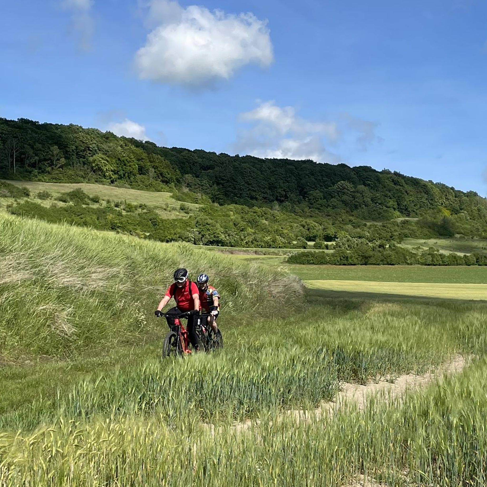
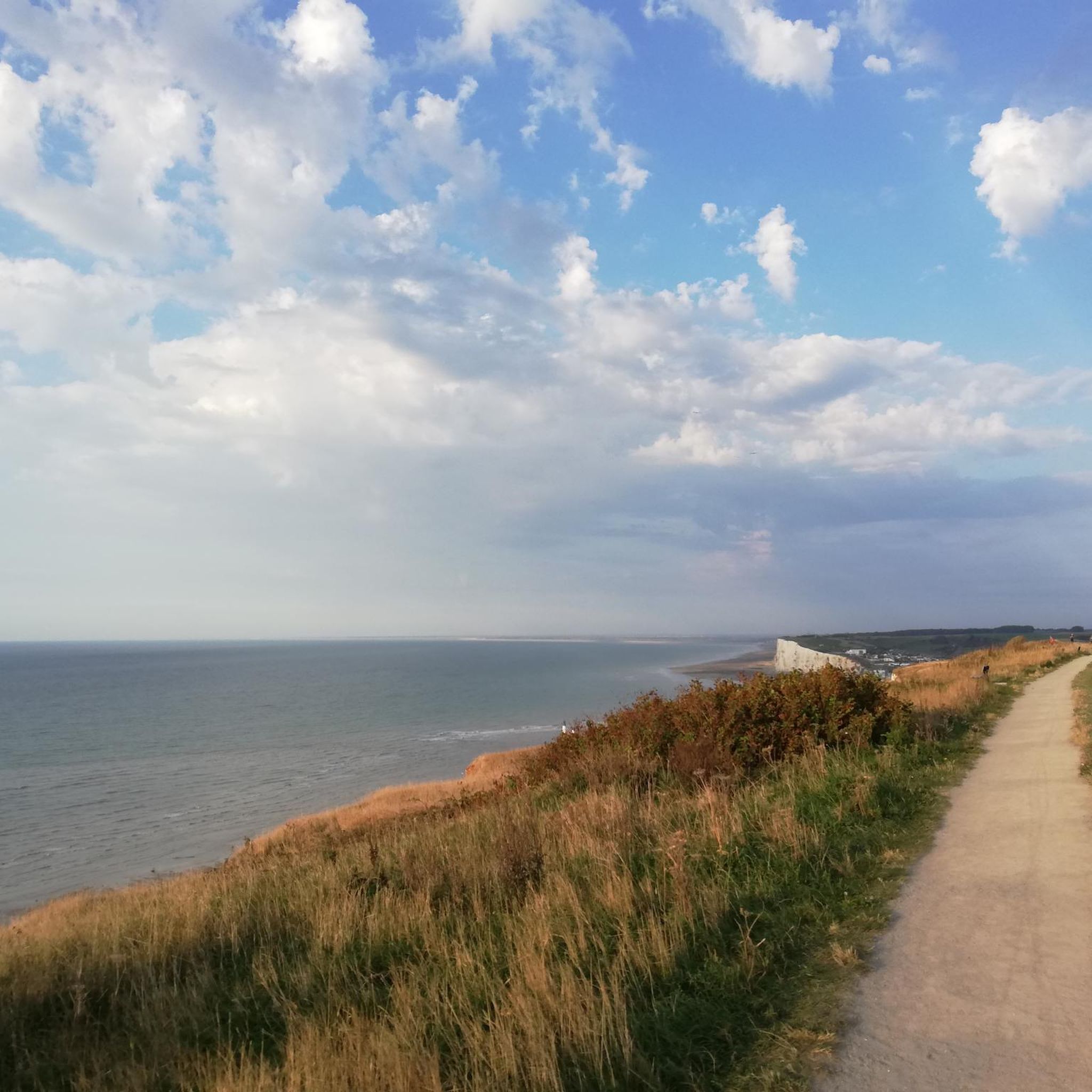
Breathtaking view of the Yères valley
0
0

An ancient oak tree, now fallen. A gust of wind on the night of February 26, 2008, brought down this ancient oak tree (250 to 300 years old). Le Quesne à Leu remains, like a recumbent statue, a witness to the forest's history. It was at its feet that the last wolves in the forest were supposedly killed and that judgments with executions were rendered.
0
0
Ancient Druidic site. Legend says that the rock begins to smoke before the rain...
0
0

This point of view offers a breathtaking view of the Vallée d‘Yères. There is a very informative orientation board.
2
0
Pavilion located in a clearing near the Sainte Cathérine viewpoint
0
0

The site of Queen Mother Elizabeth in the forest of EU. Here you will find the stumps of two trees that were once intertwined for more than a century. A beech and an oak, planted side by side for the arrival of Queen Victoria in 1843. Entwined, they symbolized good understanding between France and England. These fusion trees had to be felled in 2013 for health reasons, but their presence in this place is still palpable. On the 100th birthday of the Queen Mother of England, then President Jacques Chirac renamed the place "Site of Queen Mother Elizabeth". It is also the starting point of the walking tour of the queen mother. This marked route will allow you to discover the charms of the panorama opening onto the Yères Valley. This circuit, equipped with comfort and information facilities (tables, benches, information panels on flora and fauna, orientation table, equipped kiosk, etc.).
1
0

Nice place for a snack break or even a night under the stars.
1
0
Frequently Asked Questions
How many hiking trails are available around Villy-Sur-Yères?
There are over 70 hiking routes recorded in the Villy-Sur-Yères area on komoot, offering a wide range of options for exploring the local countryside.
Are there easy hiking trails suitable for beginners or families?
Yes, Villy-Sur-Yères offers 28 easy hiking routes. An excellent option for a relaxed outing is the Hiking loop from Le Buisson, which is 3 miles (4.8 km) long and features minimal elevation gain, making it ideal for families or those new to hiking.
What kind of terrain can I expect on hikes in Villy-Sur-Yères?
The terrain around Villy-Sur-Yères is characterized by rolling agricultural landscapes, quiet country lanes, and paths that often pass through wooded sections. Expect gentle elevation changes rather than steep climbs, providing a pleasant rural walking experience.
Are there any circular hiking routes?
Many of the routes in Villy-Sur-Yères are circular, allowing you to start and end at the same point. For example, the Hiking loop from Millebosc is a moderate 9.1 miles (14.7 km) circular trail that explores varied rural terrain.
What are some longer hiking options in the area?
For those seeking a longer challenge, the Hiking loop from Millebosc is one of the longer routes at 9.1 miles (14.7 km). There are 39 moderate routes in total, offering more extended excursions through the landscape.
Are there any interesting landmarks or attractions to see along the trails?
While hiking, you can explore several points of interest. Notable attractions include the Touffreville-sur-Eu Viaduct on the Dieppe-Le Tréport Greenway, the historical V1 Launch Site of Guerville, and the ancient city site of Briga. These offer glimpses into the region's history and engineering.
Is Villy-Sur-Yères suitable for dog-friendly walks?
Yes, the rural paths and quiet country lanes around Villy-Sur-Yères are generally suitable for dog walking. Many trails pass through open fields and wooded areas, providing a pleasant environment for you and your dog. Always ensure your dog is under control and respect local signage regarding livestock or protected areas.
What is the best time of year to hike in Villy-Sur-Yères?
The best time to hike in Villy-Sur-Yères is typically from spring through autumn (April to October) when the weather is mild and the countryside is green. Summer offers longer daylight hours, while spring and autumn provide pleasant temperatures and beautiful seasonal colors. Winter hikes are possible, but paths may be muddy.
Is parking available near the trailheads in Villy-Sur-Yères?
Parking availability varies by trailhead. In this rural area, you can often find roadside parking in villages or designated small parking areas near popular starting points. It's advisable to check specific route details on komoot for recommended parking locations before you set out.
What do other hikers enjoy most about hiking in Villy-Sur-Yères?
The area is highly rated by the komoot community, with an average score of 4.4 stars from over 180 reviews. Reviewers often praise the peaceful rural environment, the well-maintained paths, and the opportunity to experience the authentic French countryside away from crowds.
Are there any cafes or places to eat near the hiking trails?
Villy-Sur-Yères is a rural area, so dedicated cafes directly on the trails are uncommon. However, you can find small local establishments or bakeries in nearby villages like Bazinval or Grandcourt, which are often starting points for hikes. It's recommended to pack snacks and drinks, especially for longer routes.
Can I reach hiking trails in Villy-Sur-Yères by public transport?
Public transport options directly to trailheads in Villy-Sur-Yères are limited due to its rural nature. Access is primarily by car. Some regional bus services might connect larger towns in the vicinity, but reaching specific starting points for hikes would likely require further planning or a taxi.
Most popular attractions around Villy-Sur-Yères

Get inspired with the komoot mobile app


Explore more
Browse the best Hikes in other regions.
